
Agger Beach – Flade Sø. 16 km.
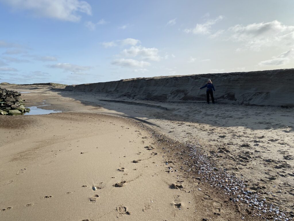
North of the Limfjord all the way to the North Sea lies Agger and Thy National Park, which is Denmark’s oldest national park. Just south of Agger lies Agger Tange, a place where you can watch the sun set over the North Sea in the evening and rise over Krik Vig in the morning. Set your GPS for Vesterhavsvej and drive to the very end, where there is a parking lot. The walk begins right behind the dunes along Klitvej. We soon decided to head down to the North Sea to experience the wildness and roar of the ocean, as well as to enjoy the miles-long sandy beach shaped by wind and waves. In some places, the water has piled up large mounds of stones; in others, there is nothing but sand; and elsewhere, the waves have carved deep gouges into the beach behind the groynes—some reaching heights of up to two meters.


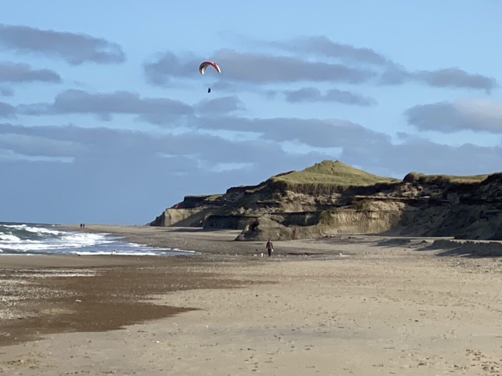
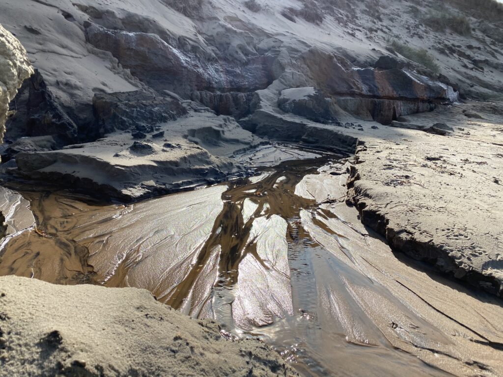
After walking a few kilometers along the coast, the dunes begin to give way to steep cliffs reminiscent of parts of the English coast. The high cliffs and the westerly wind make for ideal kite-surfing conditions. Walking close to the cliffs reveals the many different layers of soil and clay that remained hidden for millennia until the waves exposed them. The clay displays a multitude of colors, and it is fascinating to watch water seeping out from the various layers. We continue past the 5-kilometer mark, hoping to leave the beach, but the high cliffs offer no exit point; we must press on to nearly the 6-kilometer mark, where a natural cove provides a way up to the dunes. A rope has even been hung there to help you pull yourself up.


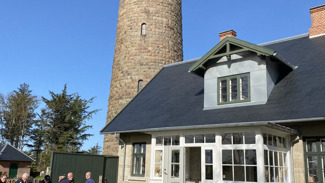
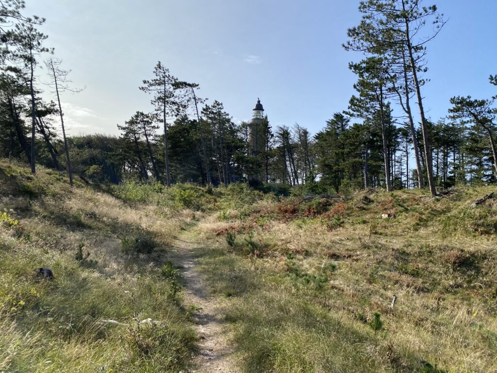
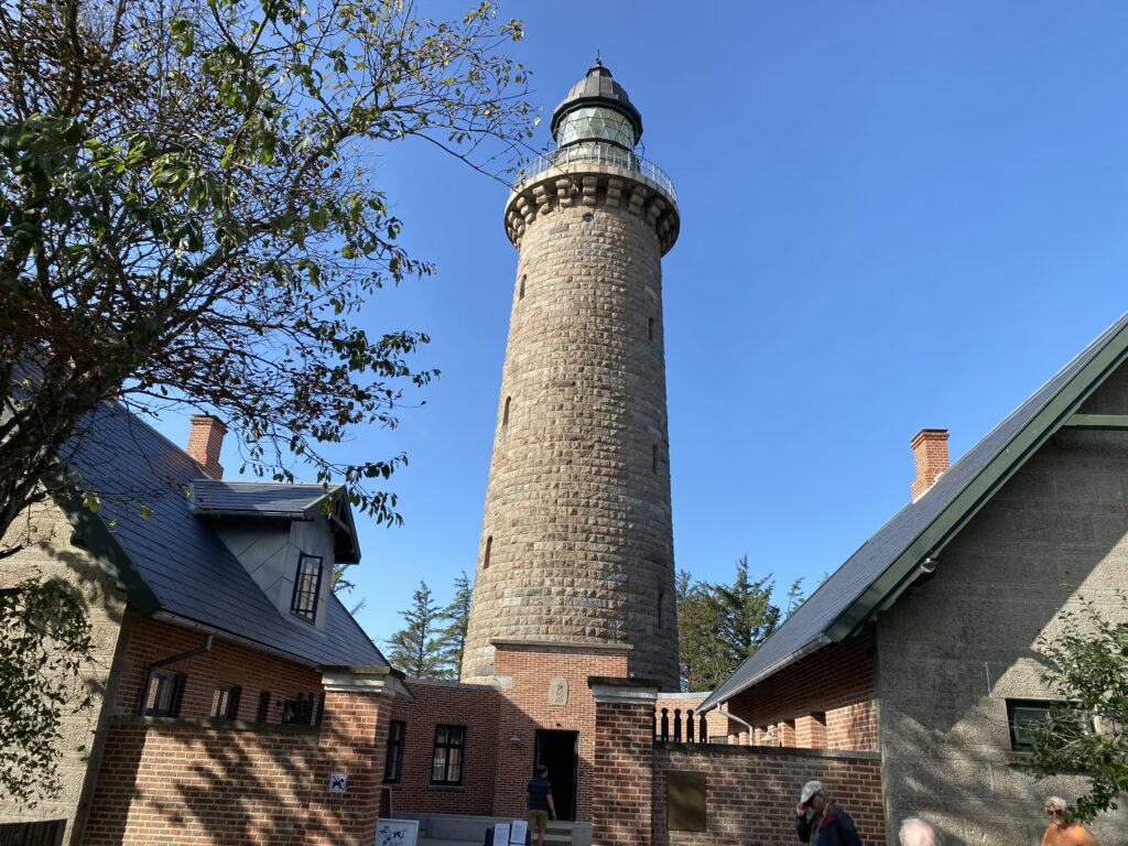
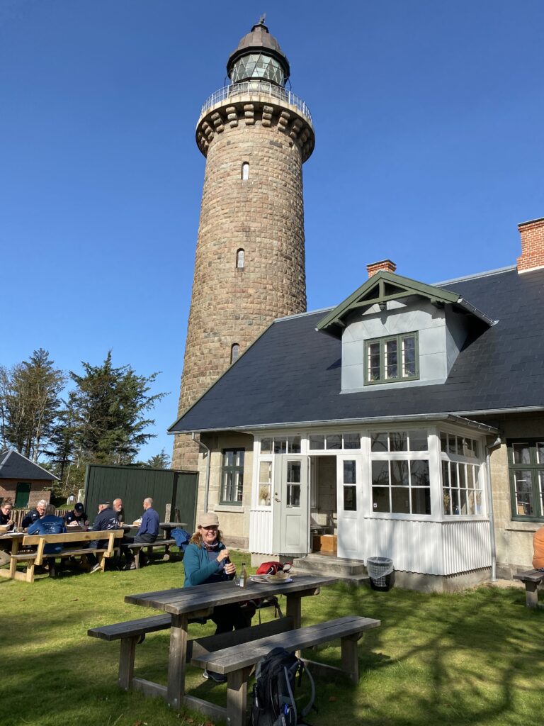
Once up there, the route now heads back towards Lodbjerg Lighthouse. We set off across the heathland, with the lighthouse visible in the distance. The terrain is sandy, but the vegetation shifts from grass to heather and back to grass, with green trees and shrubs appearing as we get closer to the lighthouse. Built in 1883, Lodbjerg Lighthouse is still in operation. It is open to visitors, and the view from the top is spectacular. After the long climb up and down the stairs, a visit to the lighthouse café is highly recommended—warm, freshly baked buns and traditional *kringle* (Danish pastry) are a must! You can enjoy it all in the garden behind the lighthouse.


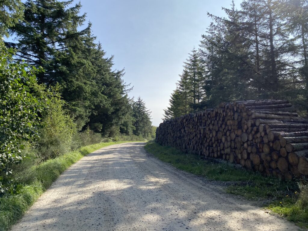
The route continues along Lodbjergvej, which is a gravel road. You MUST follow this gravel road all the way until you reach a paved road that is also named Lodbjergvej. (We took a wrong turn after 8 kilometers, so we strongly advise against following our live route between the 8-kilometer and 9.5-kilometer marks). We turn right onto the paved Lodbjergvej. After approximately 10.5 kilometers, we pass a property that rents out horses, and just beyond that, there is a bench offering a beautiful view over Flade Sø – a good place to take another break. We continue, and after just over 11 kilometers, you can turn right onto a dike that runs around Flade Sø.

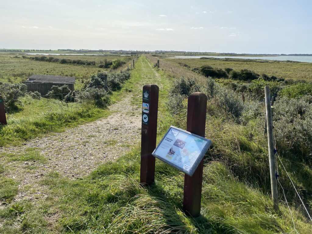
Flade Sø covers an area of 485 hectares and is now a nature reserve. The return journey to Agger follows the dike, with Flade Sø on the right and a stream on the left. Once again, the terrain offers pleasant variety, featuring stretches of stone, gravel, and grass. There is plenty of birdlife to observe along the lake's edge, including flocks of starlings and sandpipers displaying their impressive flock-flying skills.
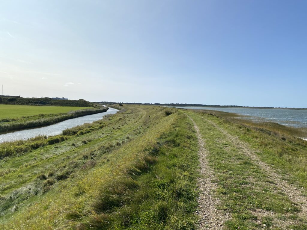
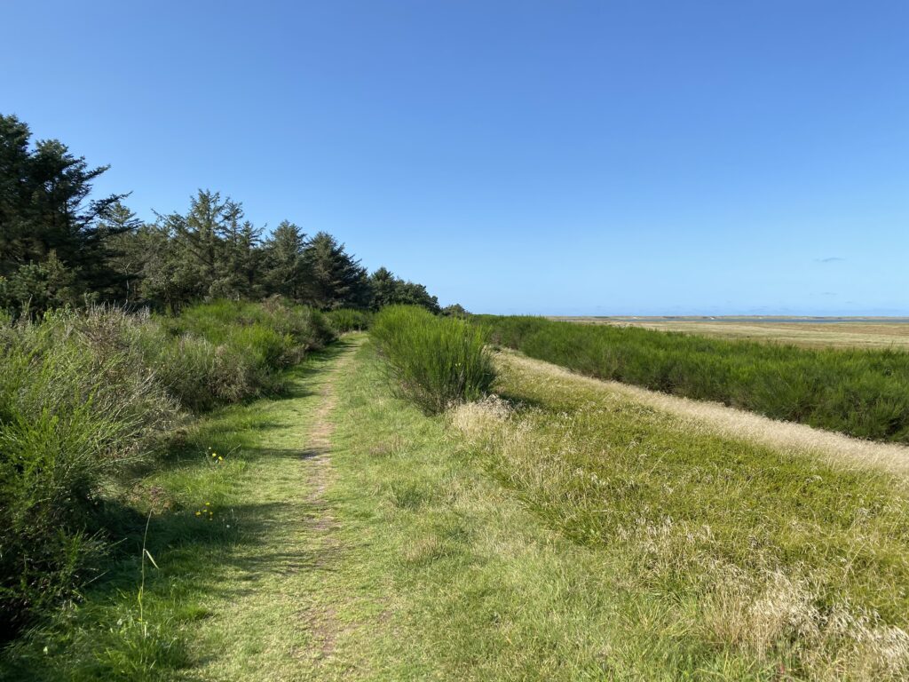

The route is nearly 16 kilometers long, but it can feel longer, as a large part of it takes place in sand.
Click on the map below and it will open in Google Maps. From here, you can follow the route as you are hiking.
