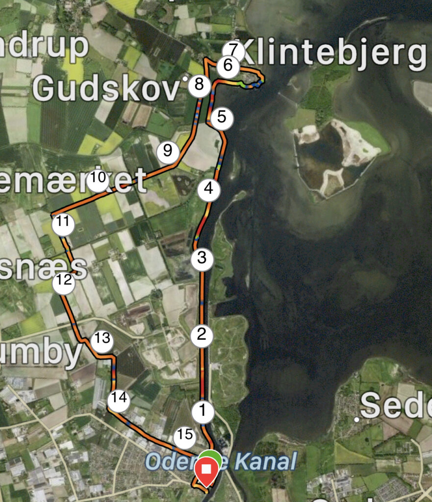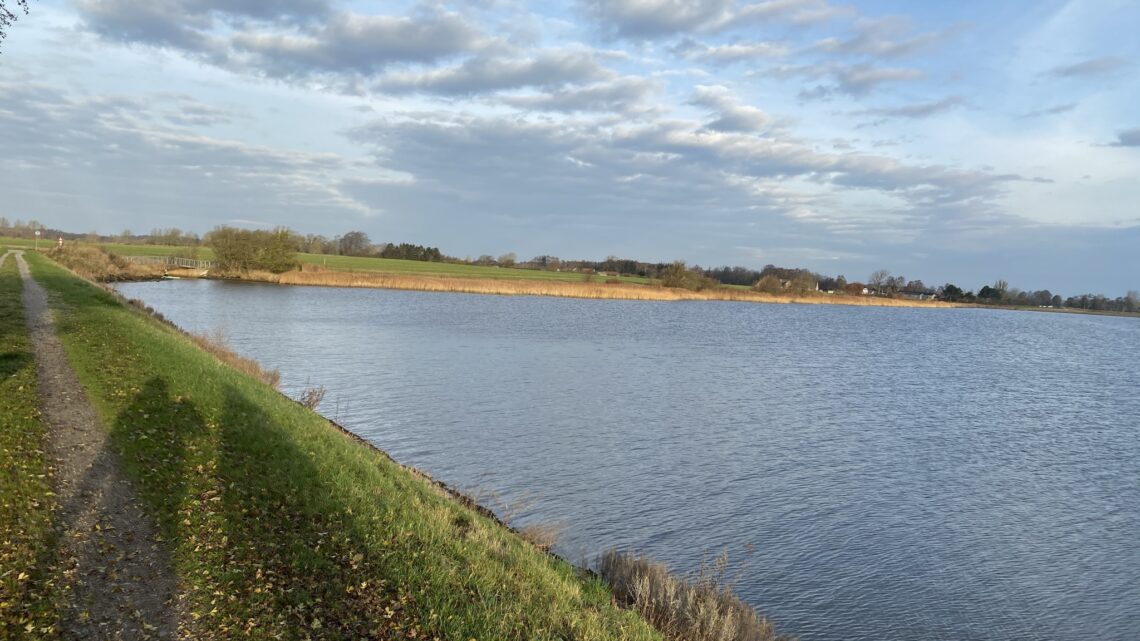
Odense Fjord – From Stige to Klintebjerg. 16 km.
Odense Fjord is approximately 13 km long and connects Odense Harbour to the Kattegat via the northern outlet at Enebærodde. We chose to make the trip from Stige, heading north along the fjord to Klintebjerg. Set your GPS to "Stigefærgen, Odense" and park your car in the small parking lot.
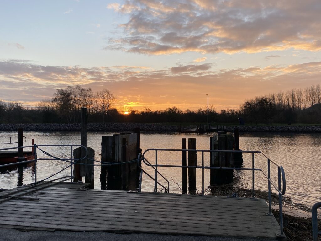
A sunrise over the water is always a wonderful experience, and in November, you don’t have to get up terribly early to see it. On the other hand, there is a significant difference in where the sun rises in the sky depending on whether you make the trip in summer or—as in this case—in November. The view over the channel at the old ferry landing—where, until a few years ago, "Ferry-Hans" used to ferry cyclists and pedestrians across—is truly impressive.

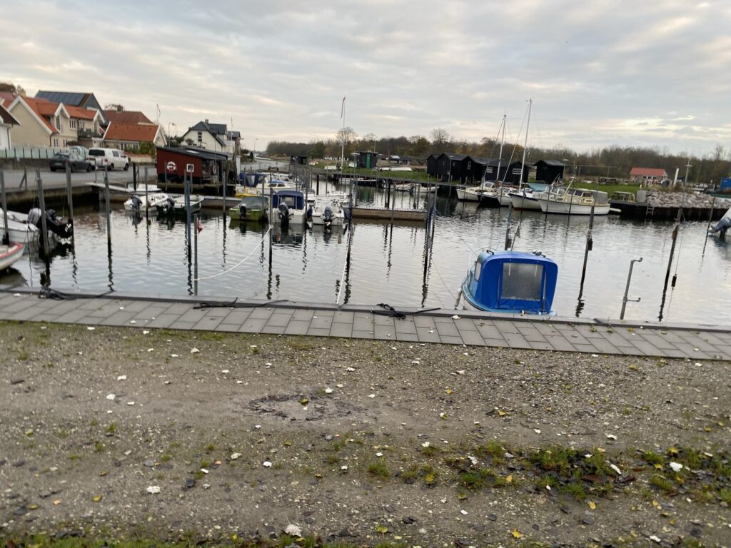
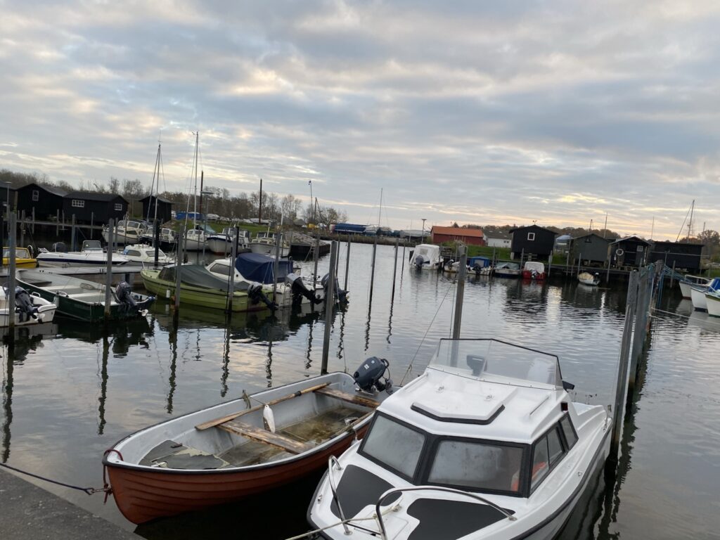
After just a half-kilometer walk, we arrive at Stige Harbor and the perfect spot for a coffee break. Here, you can sit on a bench overlooking the water or at a picnic table. The view is impressive, too: on one side lies the canal, and on the other, Stige Harbor with its small boats and lovely houses in the background.

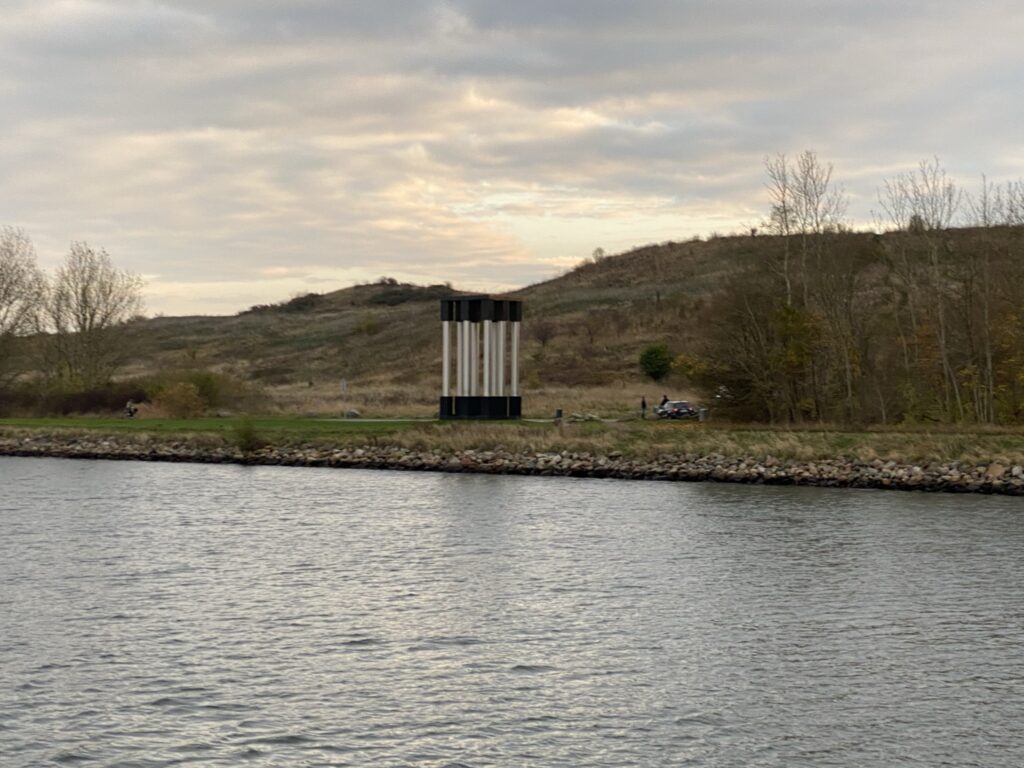
After eating the breakfast we brought along and drinking the first coffee of the day, we continue the journey and soon get... Stige Ø on our right. In the foreground is the Cronhammar sculpture “Camp Fire”, which was destroyed by mistake, but has now been rebuilt. Just a short distance away lies a small cluster of little black houses – Sorthusene.

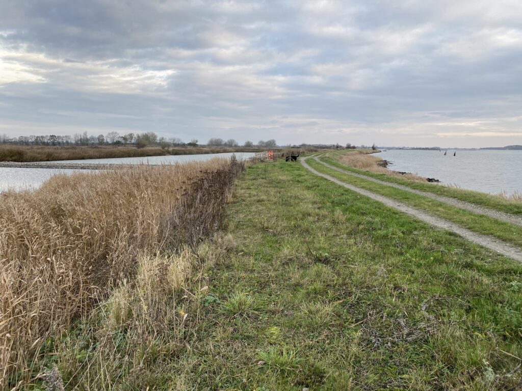
Past Sorthusene, a long spit of land continues northward, and on the left, there are several areas with water on both sides of the path. With a view of the Lindø shipyard, we walk until we have covered approximately 4.5 kilometers. We stop at the pump house, which is the next spot for a coffee break. The pump house helps keep the reclaimed area dry and suitable for agriculture.


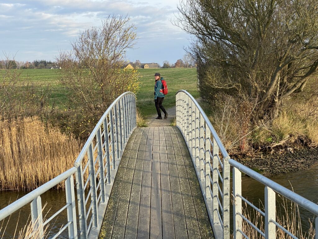
We follow the path around the fjord and cross a small bridge over another of the drainage canals. Here, we encounter a group of paddleboarders taking advantage of the calm waters of the bay and the canal. The route continues towards Klintebjerg; we keep right and pass through the barrier towards Klintebjerg Efterskole, which is beautifully situated by the water. At Klintebjerg Harbour, there is once again plenty of seating where you can enjoy a coffee while looking out over... Vigelsø.


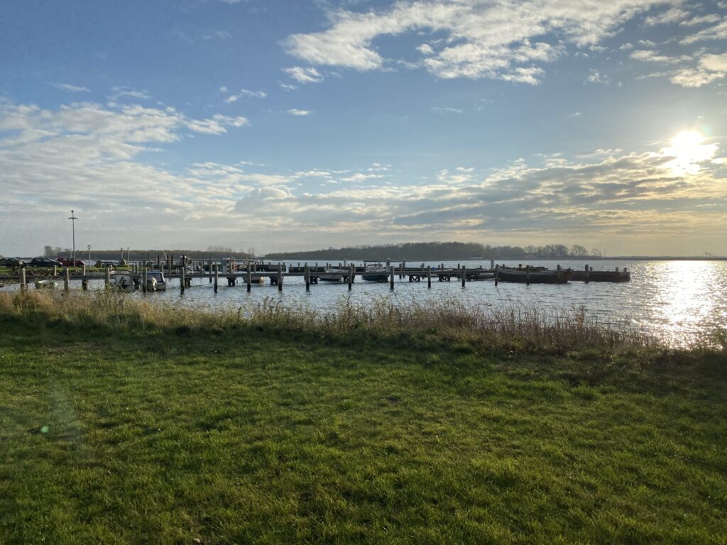

The area around Klintebjerg is popular with sailors, anglers, motorhome enthusiasts, cyclists, and nature lovers in general. Efforts to enhance the area’s appeal are ongoing; most recently, a row of "Fjordhytter" (fjord cabins) was built right by the water. We skirt the green area at Klintebjerg and continue along Klintebjergvej until we can turn left onto Grusgyden, following it until it makes a sharp 90-degree turn to the right. Fifty meters further on, we turn left onto a gravel road—also named Grusgyden. With the fjord now on our left, we begin the return leg of our walk. We cross a drainage channel and continue until we reach what looks like an intersection, where we turn right, heading inland.


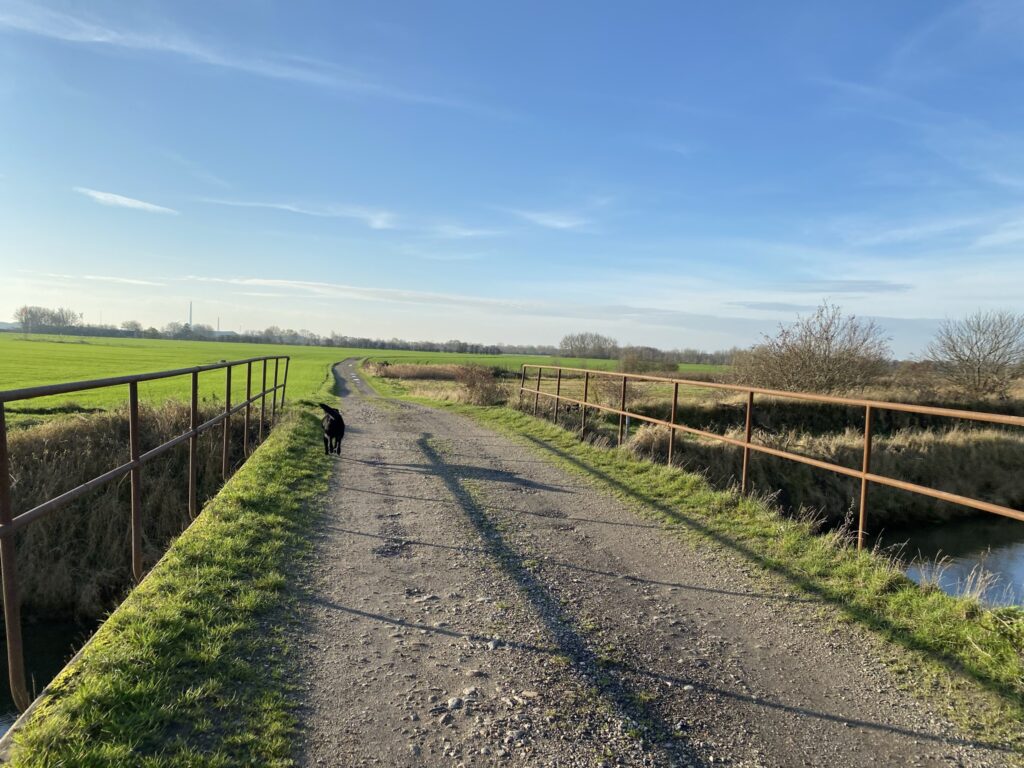
We follow the road (Grusgyden) for just under another 2 kilometers and pass Odense Model Fly. Then we turn left onto the first gravel road and cross straight over Strandager and Lunde Å. At the end of the road, we turn right and follow Strandager along a gravel road.


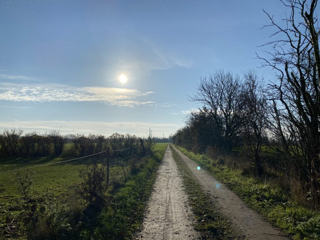
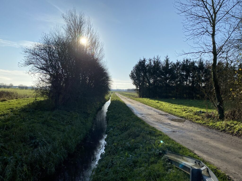
The entire area we are walking on is an ancient seabed. The area is called Lumby Reclaimed Beach ...and until 1942, it was a fjord area covering approximately 500 hectares. The numerous fields, complete with drainage ditches and gravel roads, form a flat landscape broken only by hedgerows. Locals refer to these gravel roads as the “Booze Route” (*Spritruten*), as many drunk drivers have been caught there over the years—though we encounter none during our walk. We cross straight over Strandløkkevej and keep left. Here, we pass a nearly overgrown shooting range used for sighting in rifles. At the end, we turn left onto Ilnabgyden, entering the vast areas of greenhouses that are characteristic of Stige.
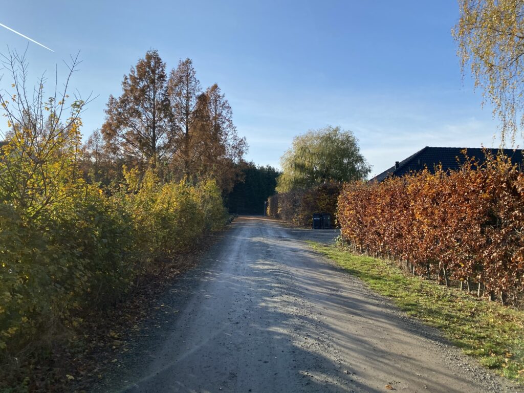
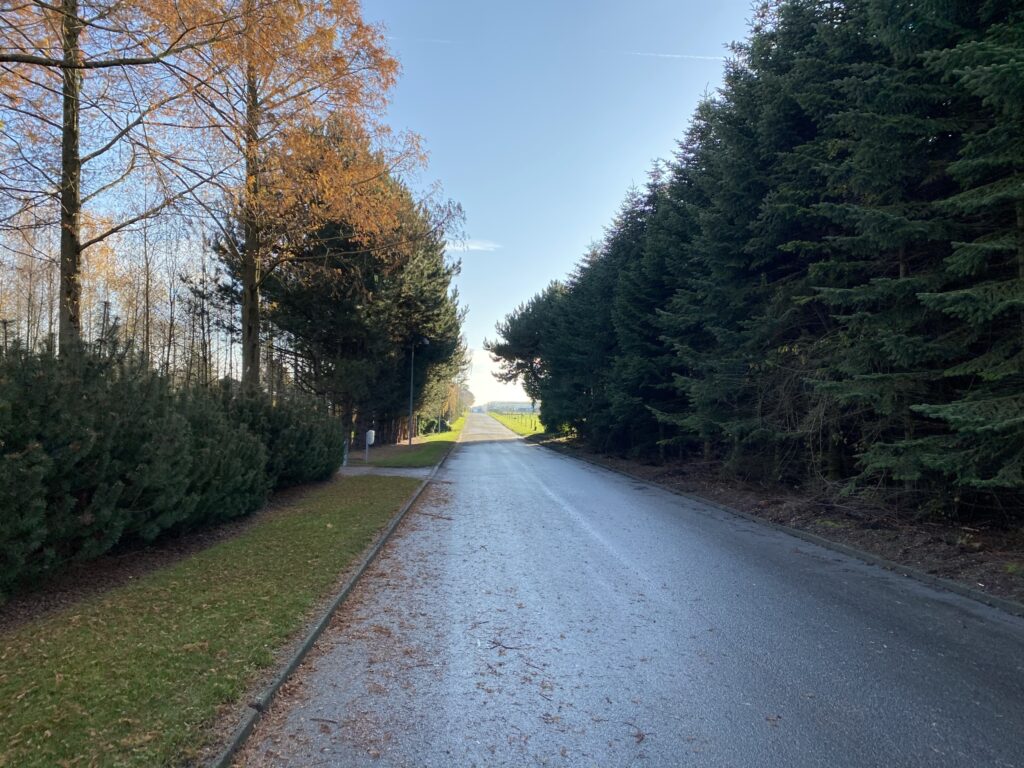
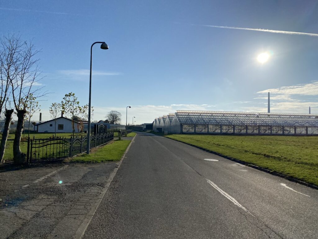
We follow Ilnabgyden until it turns into Hammergyden and then turn left onto Strandholtvej. We follow Strandholtvej—past the many market gardens—to its end, turn right onto Skippervej, and follow that to its end. Here, we turn left and return to the car.
The route is 16 kilometers long.
Click on the map below and it will open in Google Maps. From here, you can follow the route as you are hiking.