

Odense – Stavids Å and Ryds Å – 10 kilometers
In the northwestern part of Odense, the Stavids Å stream winds through a beautiful natural area that extends almost all the way to the city center. Set your GPS to Store Klaus 40, 5270 Odense N, and park along the road.
We start by walking down past the entrance to The Iron Age Village, which is an association-run cultural-historical education center. After walking just a few meters, we get a magnificent view over the river valley where our tour will take place.

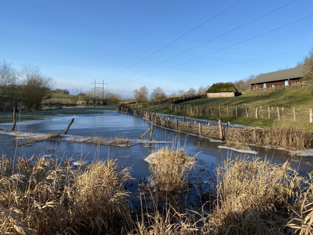


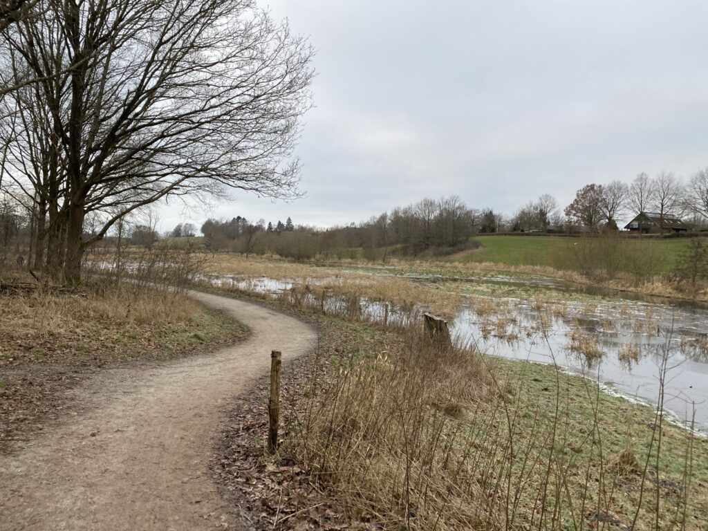
You immediately sense that the water is far above the stream's normal banks, but this is because a major project was carried out back in 2011 wetland project ...along the Stavids Å stream to reduce nitrogen runoff into Odense Fjord. The project has reduced nitrogen emissions by 22–24 tonnes and covers no less than 100 hectares of land. Despite this, Odense Municipality has created an extensive network of paths, bridleways, and walking trails in the area.
After crossing Stavids Å, we keep left and follow the path until we can turn left onto a beaten track. We now walk with Ryds Å on our left. We follow the path and turn left down a bridle path after about 400 meters (during the summer months, cattle graze in this area, so it is recommended to follow the path to the right instead). We keep right at the first opportunity and emerge to walk with the residential area (Villestofte) on our right and a view over the river valley.

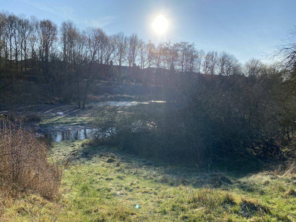
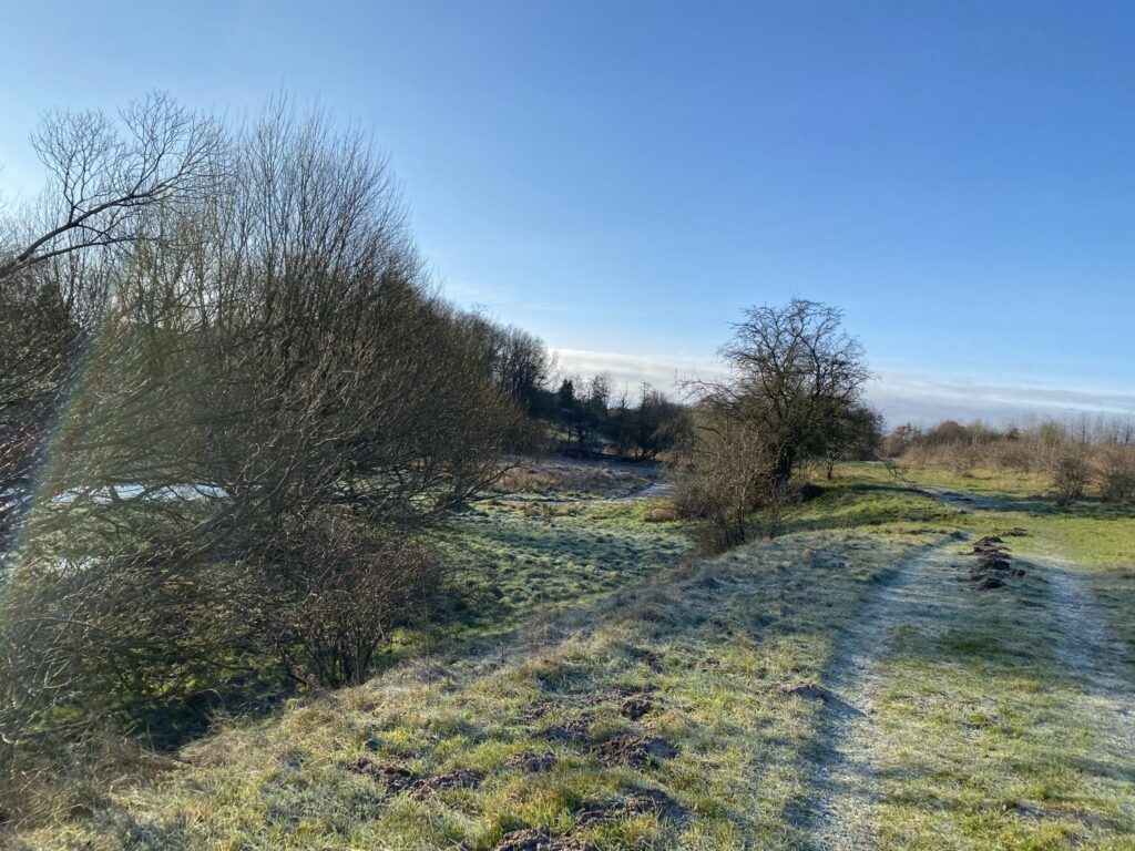
At the end of the residential area, we turn right onto a paved path, where we then turn left. We follow the path under Rugårdsvej, cross Spangsvej, and reach Langesøstien, where we turn left. Shortly after, we cross Ryds Å again and turn left onto the path running alongside the stream. We follow the path along Ryds Å, cross Rugårdsvej once more, and continue along the stream until the path reaches a T-junction. Here, we turn right and immediately left again. As part of the creation of a wetland area, the stream has been given several new bends and curves, increasing its total length by one kilometer. This benefits biodiversity, fish populations, and nitrogen runoff levels.
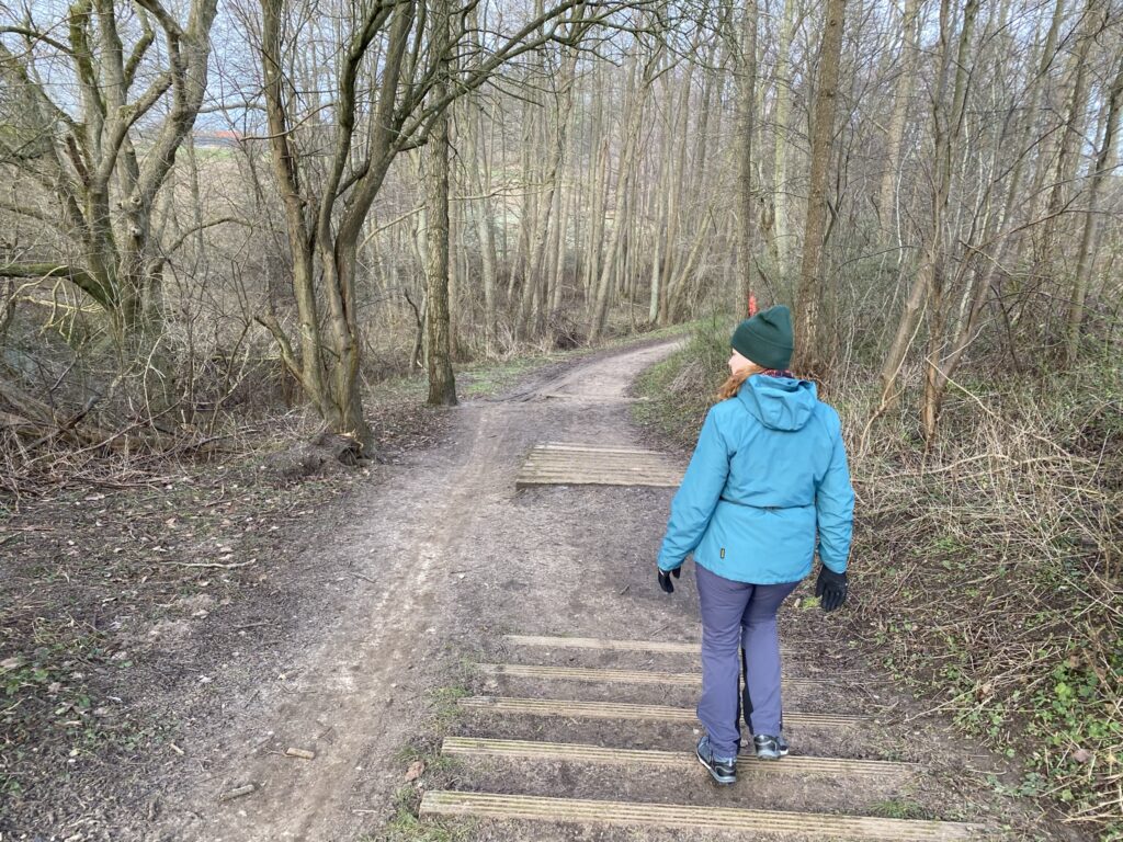

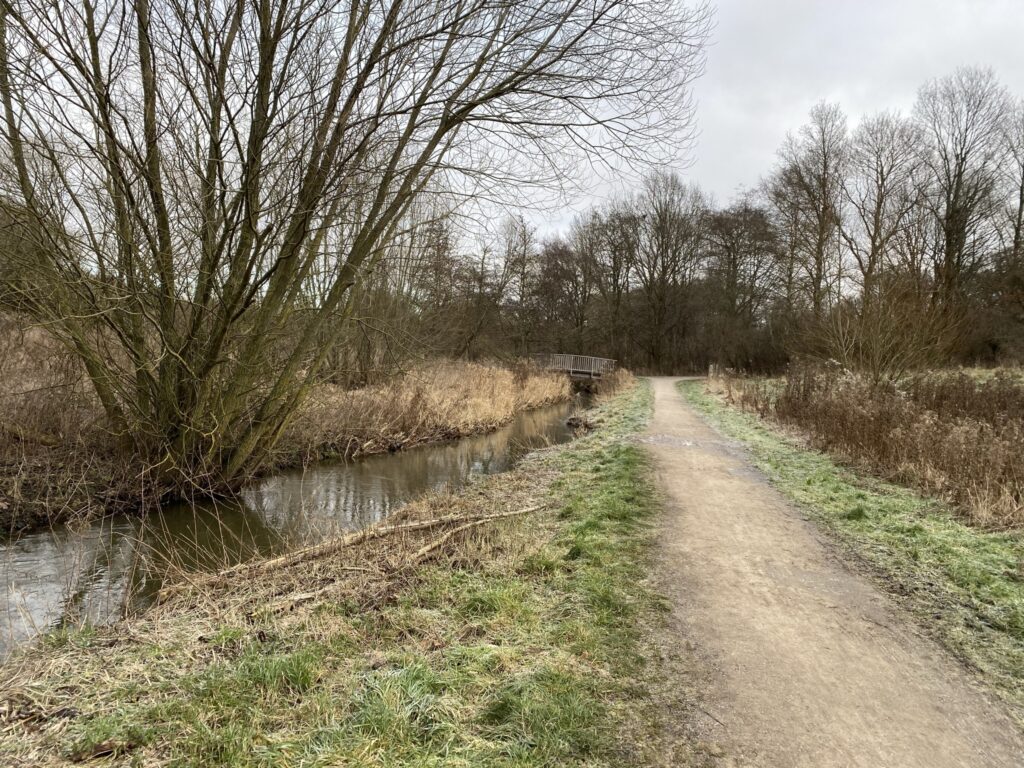
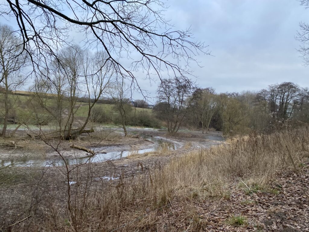
We continue our walk along Ryds Å, and only after passing the last houses on the right do we take the first turning to the right. We choose to head right, up into the woods (knowing that we will be walking back along the edge of the forest). There are both bridle paths and footpaths to choose from. Upon reaching the edge of the woods, we can see Rismarksbroen, the bridge we need to pass under. Immediately after passing under it, we turn right, this time keeping to the open area with Stavids Å on our left. We now sense... The River Valley and can sense the violent forces of the Ice Age that shaped the valley.


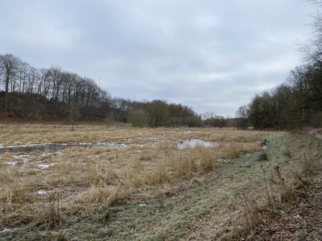
We cross the first available bridge and begin heading back towards the Iron Age Village and our starting point. Here, we can see that we are walking through one of the lowest-lying areas of the river valley, as there are large stretches of flooded land. Upon returning to Rismarksbroen, we turn left to go under the bridge and then right onto the first available path. We keep to the right, with Stavids Å on our right-hand side. We continue until we reach a man-made causeway, which allows us to cross Stavids Å once again.
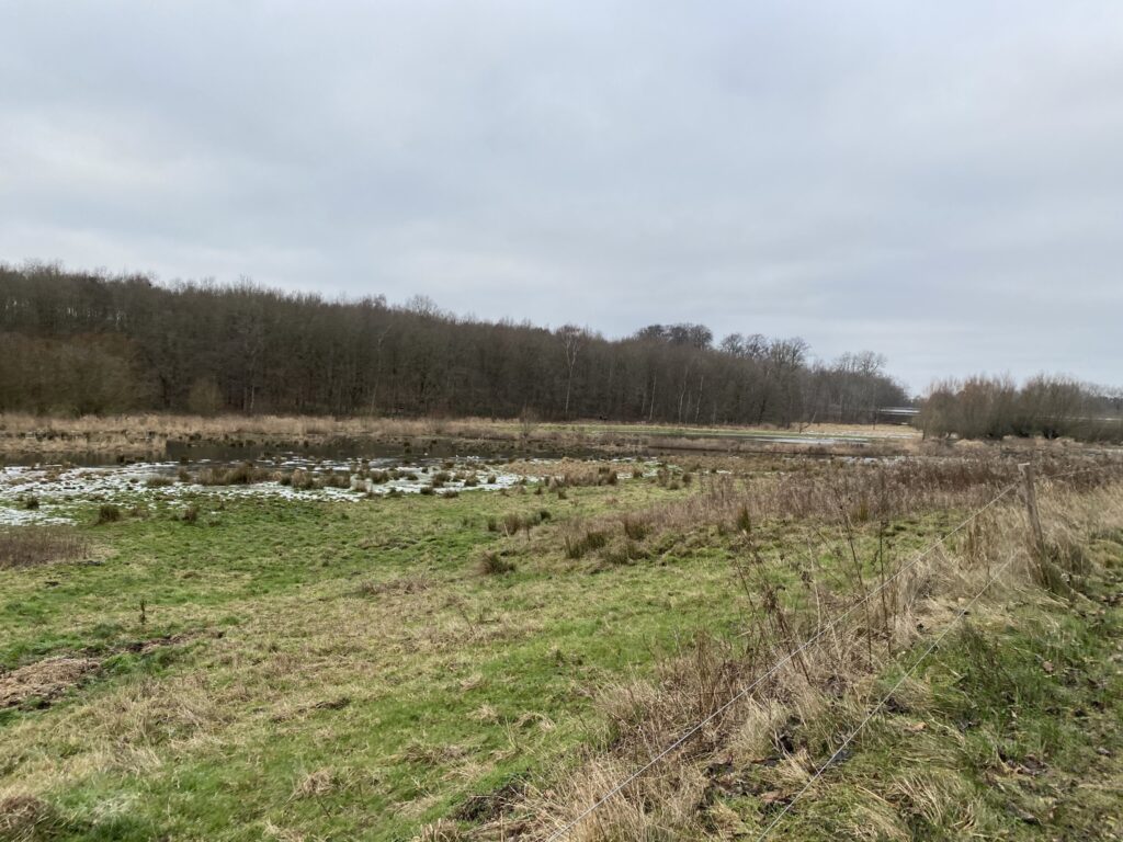
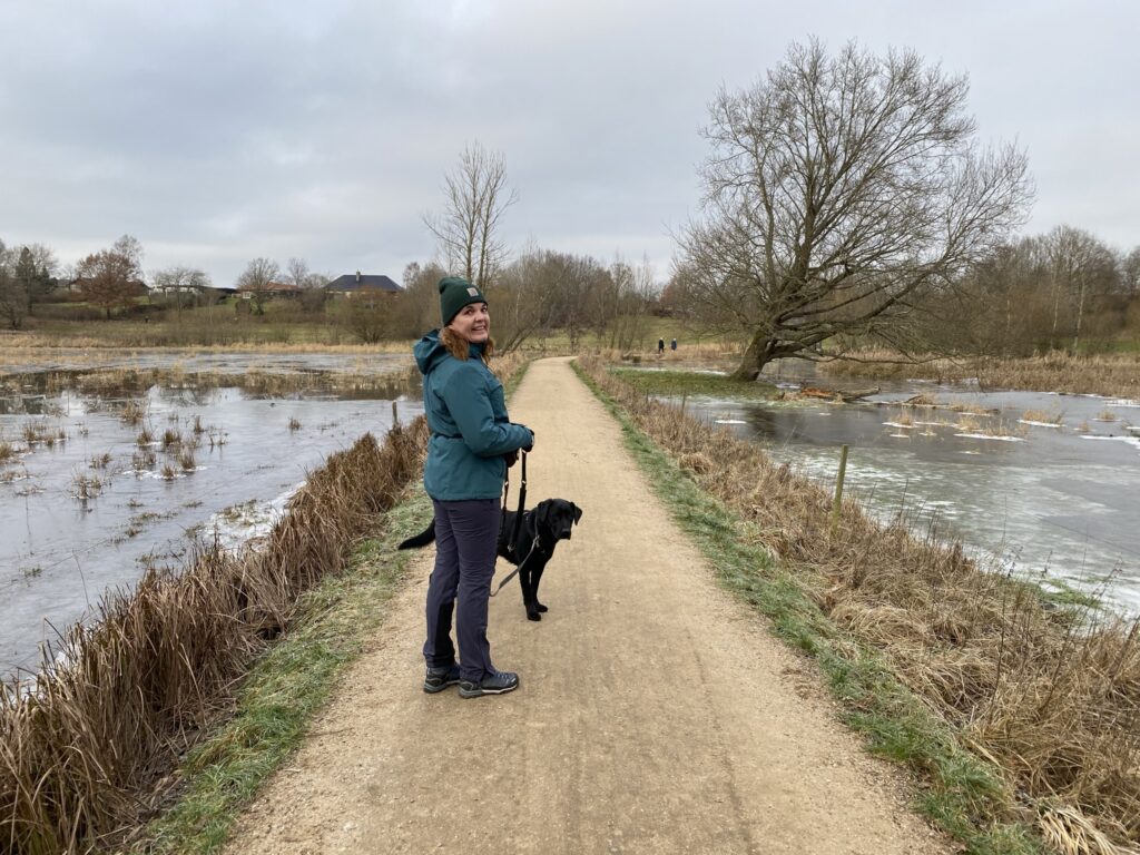
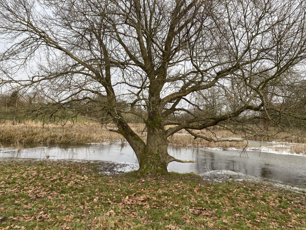

We turn left and walk along the high ground above the river valley, enjoying the most beautiful view down over the valley for the final stretch back to our starting point.


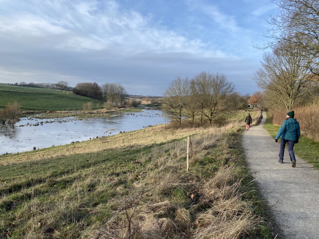
The route is 10 kilometers long, and benches have been placed at regular intervals along the entire way.
Click on the map below and it will open in Google Maps. From here, you can follow the route as you are hiking.
