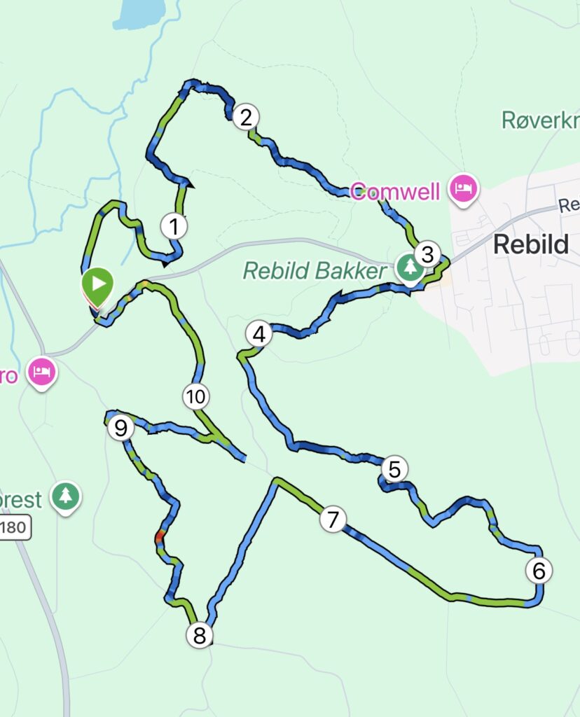
Rebild Hills and Gravlev River Valley – 11 km.
If you want to tackle some of Denmark’s most hilly terrain, this trip is a must. The area was shaped by powerful geological forces during the last Ice Age. Here, you will find deep ravines, steep slopes, and stunning views. Rebild Bakker can easily get your heart racing and leave your legs feeling sore.
We’ve set our GPS to Rebildvej 50, 9520 Skørping, where there is a small parking area where we can leave the car while we head out on the route.
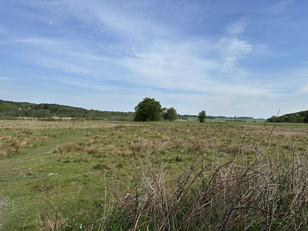
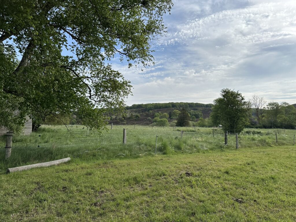
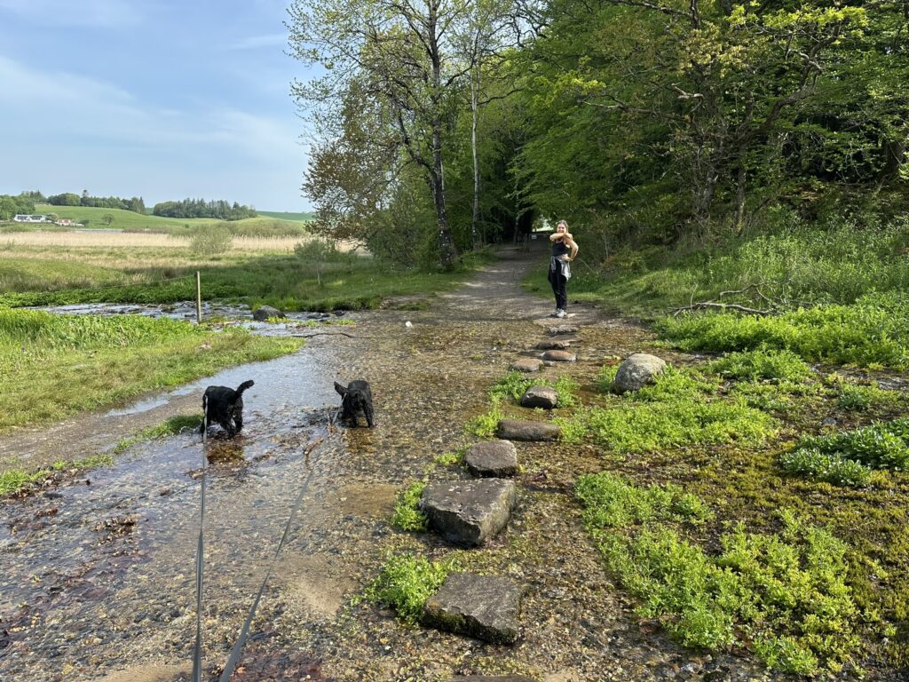
Our walk begins gently as we head out across the meadow, with views of the high hills on either side. It is a magnificent sight to see the hills towering in the distance. After a short walk, we cross a small, winding stream where the dogs, naturally, stop to drink and bathe.
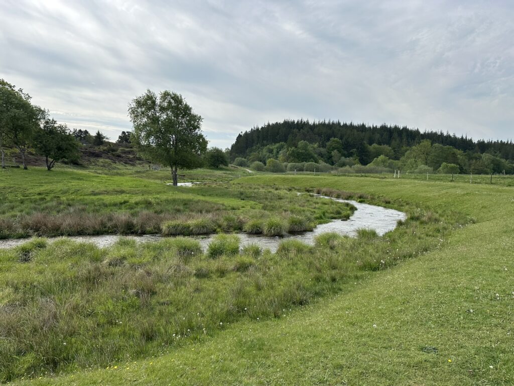
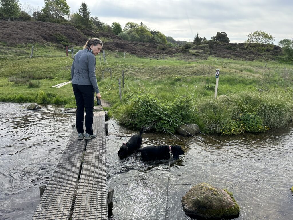
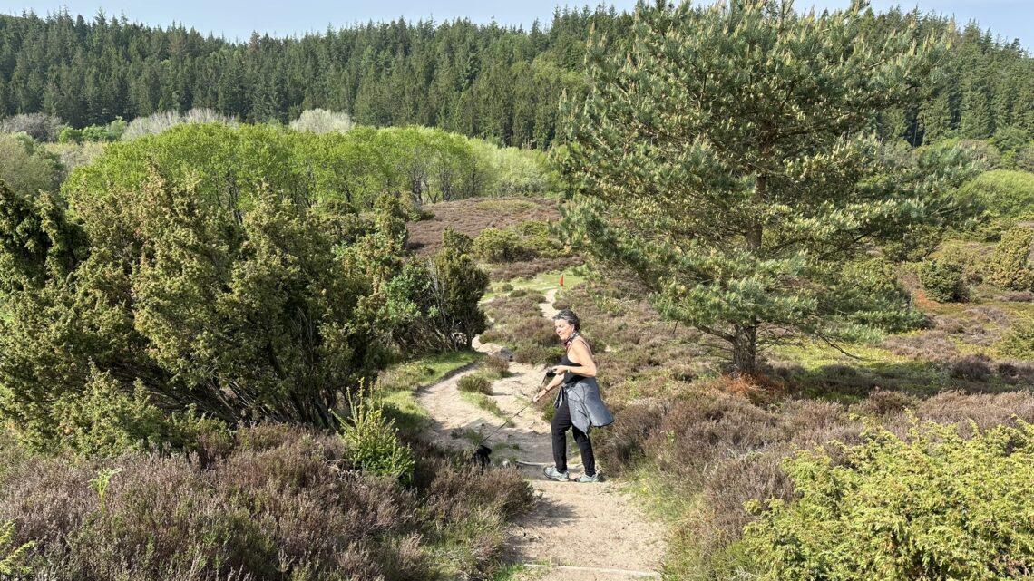
On the other side of the stream, we turn right onto the lovely gravel path that leads us up among the hills, where we can enjoy the heather and the wide-open spaces. The views are stunning in every direction, and the path takes us over the crest and back down into the valley. We walk alongside a magnificent green forest and arrive at Ravnkilde.
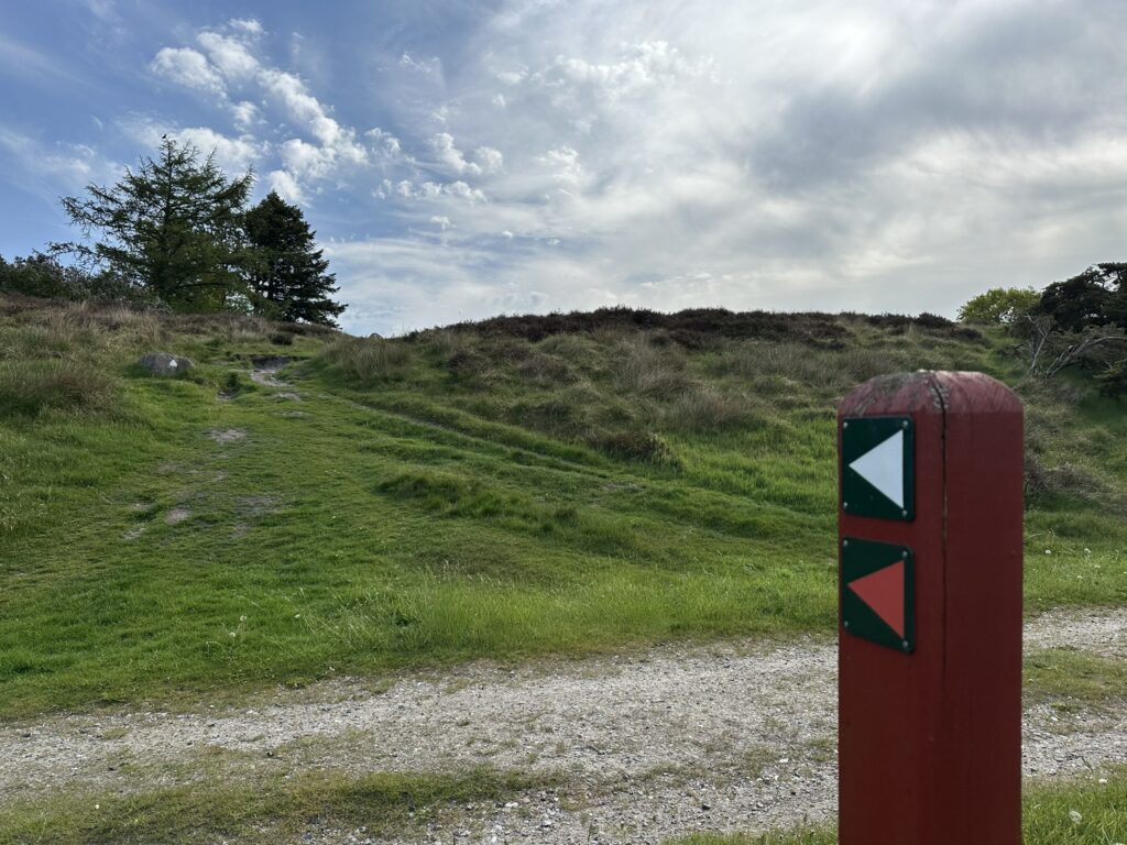
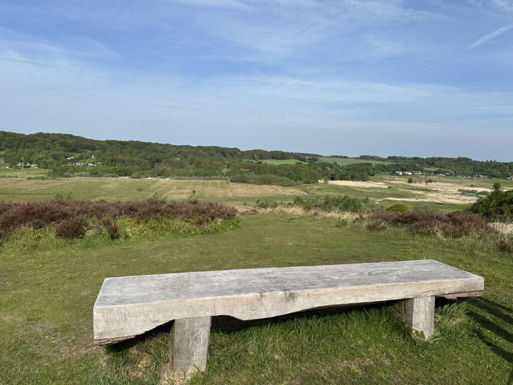
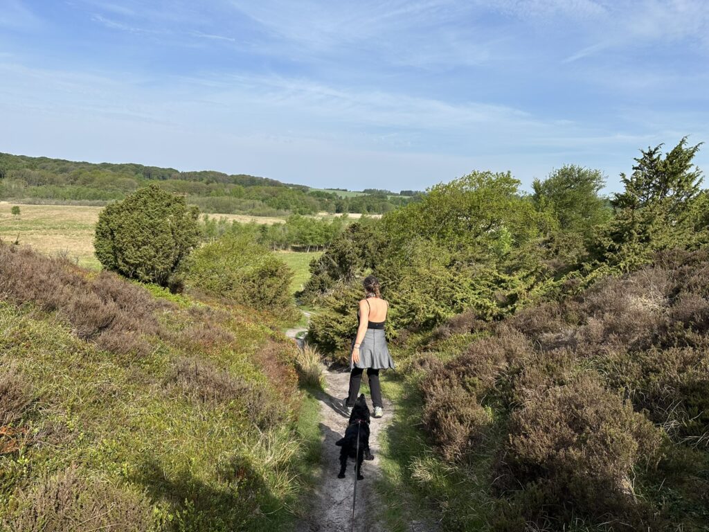
Ravnkilde is a so-called marsh spring, where water bubbles up from numerous small springs across the marshy terrain. Up to 85 liters of water per second flow across the ford on Ravnkildevej. The sound of running water is like music on a warm spring day. Shortly after crossing the ford, we turn right and head back up into the hills through the beautiful forest. Just past the summit, a bench has been placed where one can enjoy the view.
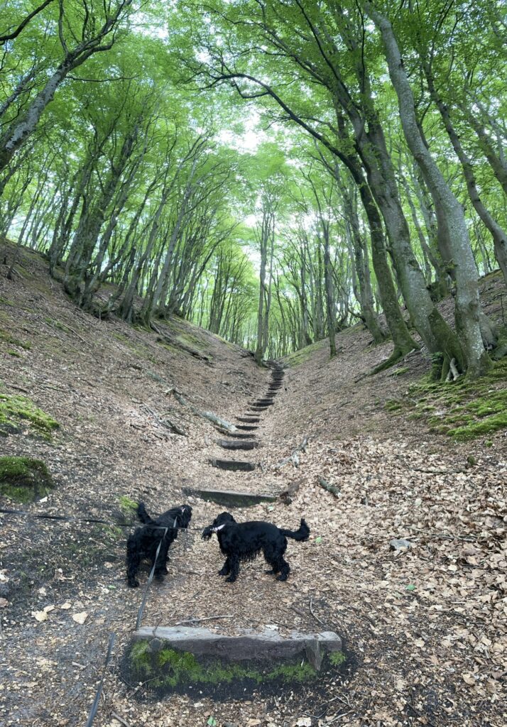
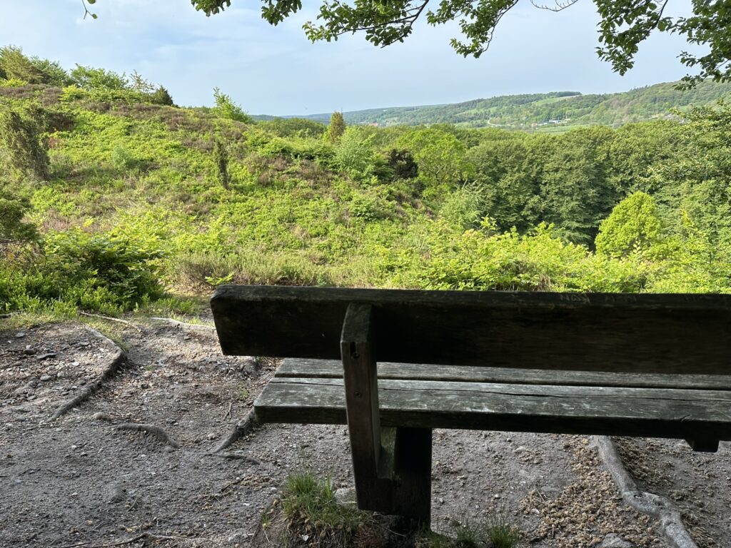
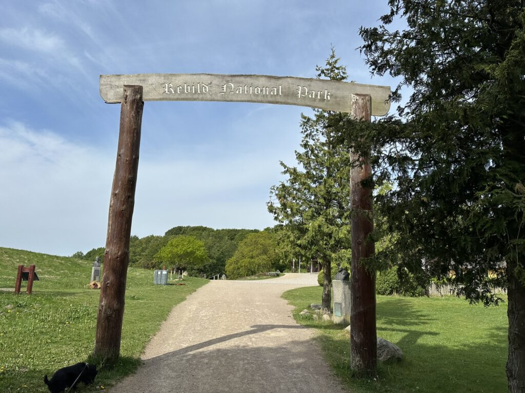
We have walked barely two kilometers, yet we have already been treated to beautiful landscapes and magnificent natural experiences—and we are far from finished. The route continues through the lovely forest, and we now arrive at Rebild National Park; beyond its stunning scenery, the park is home to the annual Rebild Festival, the world’s largest celebration of US Independence Day outside the United States. However, instead of descending the main staircase, we keep to the right and head towards... the listening post on Sønderkol.During World War II, a German air-raid warning post was located here, used to monitor the airspace for enemy aircraft. Naturally, the site is situated at a high elevation, and the view from there is fantastic—even though there are more tall trees now than there were during the war.
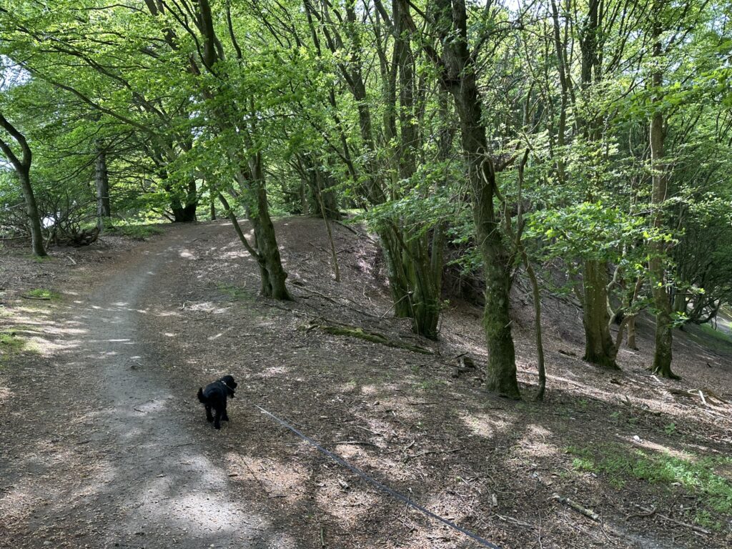
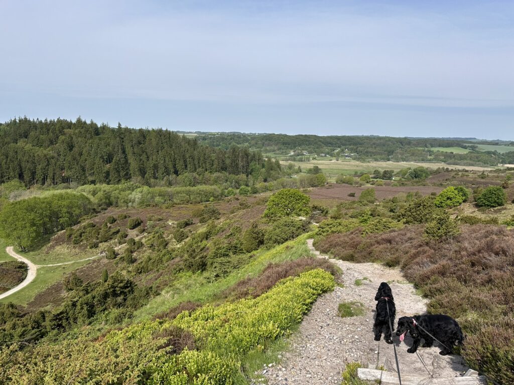
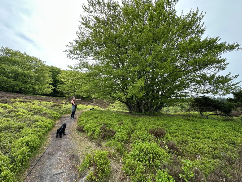
We make our way back down towards the bottom of Rebild Hills, traversing the undulating terrain and passing through some of the most beautiful scenery. It gets very hot among the hills when the sun beats down and shade is scarce, so when we come across a large tree along the way, we naturally take a short break. We pass through a small beech forest and emerge once more onto a hilltop, where the view is again striking. We have now walked a good 5 kilometers.
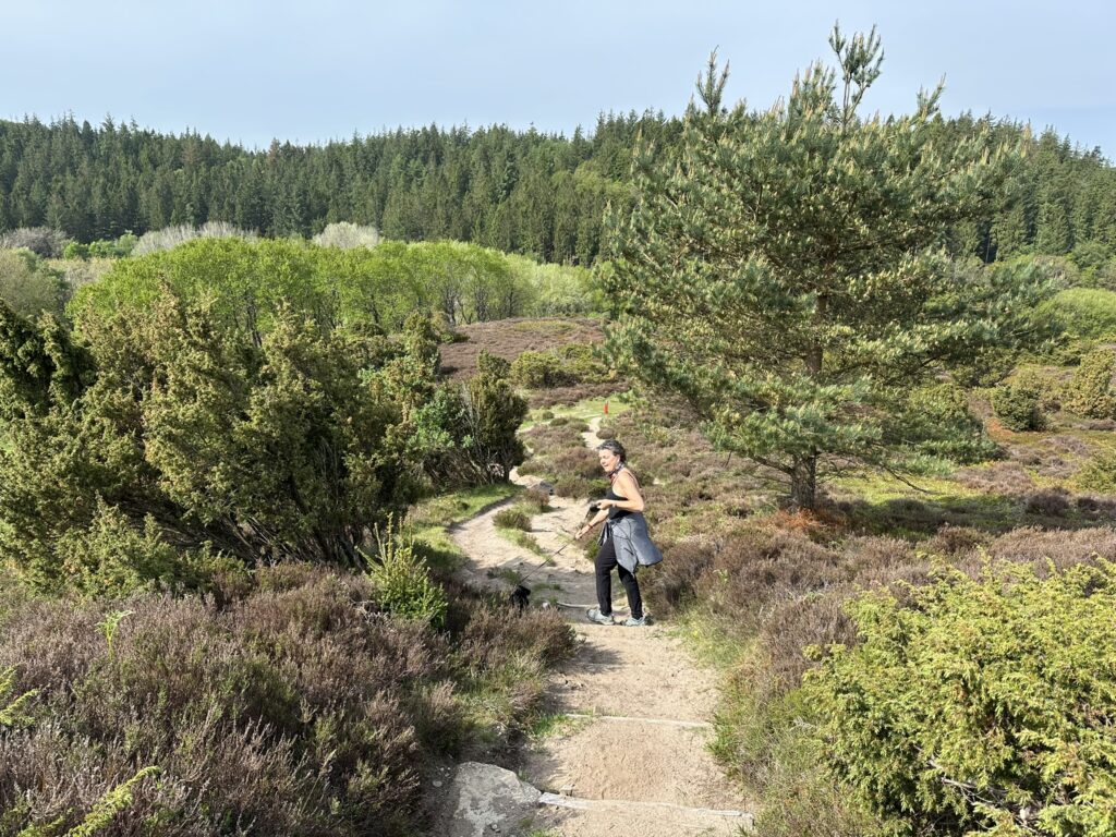
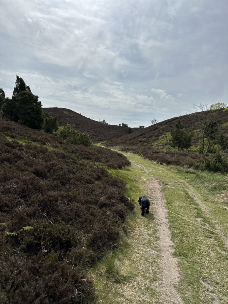
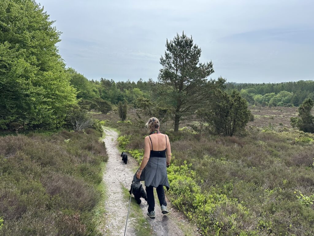
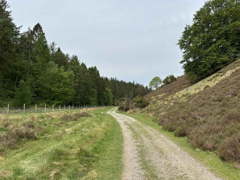
More of the same—spectacular trails, beautiful views, and new experiences around every bend and atop every hill. After just over 6 kilometers, we descend to the bottom of Rebild Bakker and turn right onto a long gravel road, with the hills on our right and a large coniferous forest on our left. We follow this long gravel road for a little over a kilometer before turning left into the coniferous forest. Upon reaching a junction, we turn right onto Pumpevejen, where the forest transitions to deciduous trees.
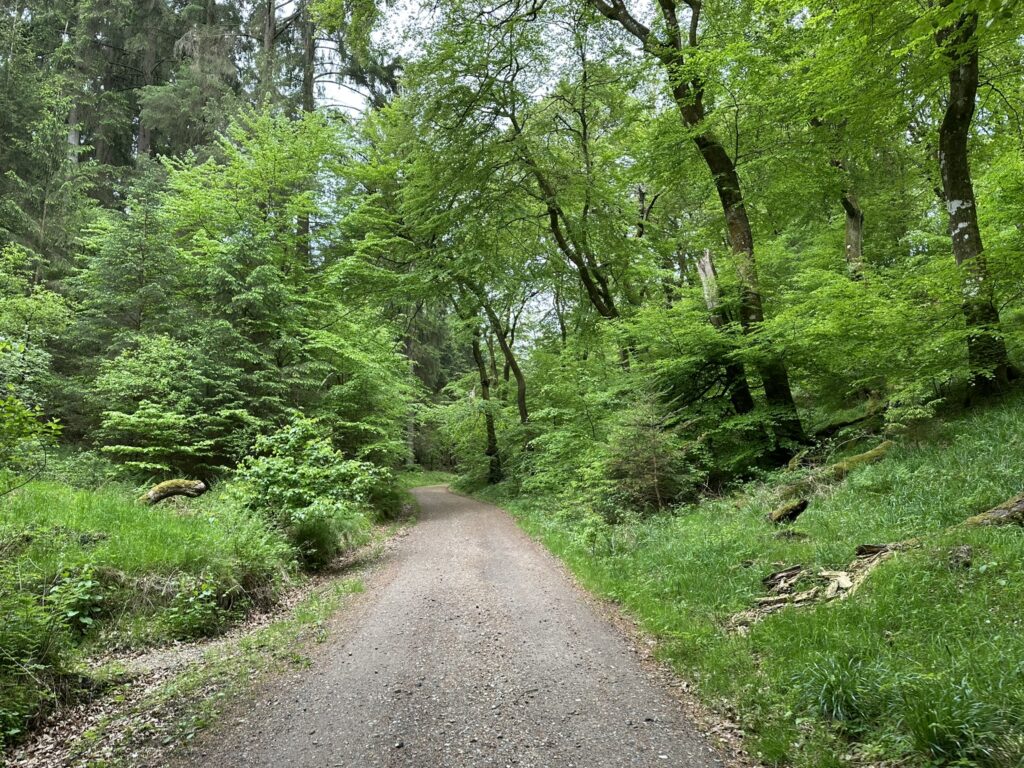
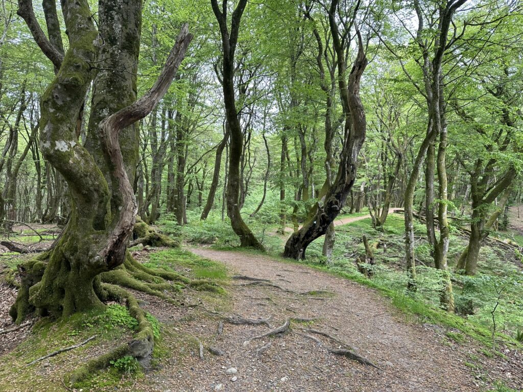
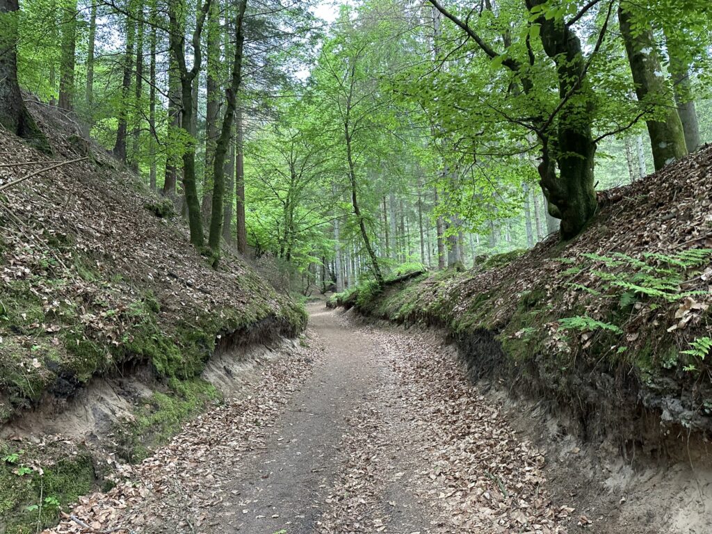
After just over 8 kilometers, we take a well-deserved lunch break on a bench situated beautifully right at the edge of the forest. We are now entering the "Troll Forest" (Troldeskoven), and we immediately see the origin of the name—gnarled trees and roots everywhere. We pass the campfire shelter and continue through the distinctive landscape, where the path is carved between hills on either side in several places. The terrain consists of both soil and sand, bearing witness to the area's fascinating geology. The final leg of the hike follows beautiful forest paths, and we end up walking along the stream we crossed at the start.
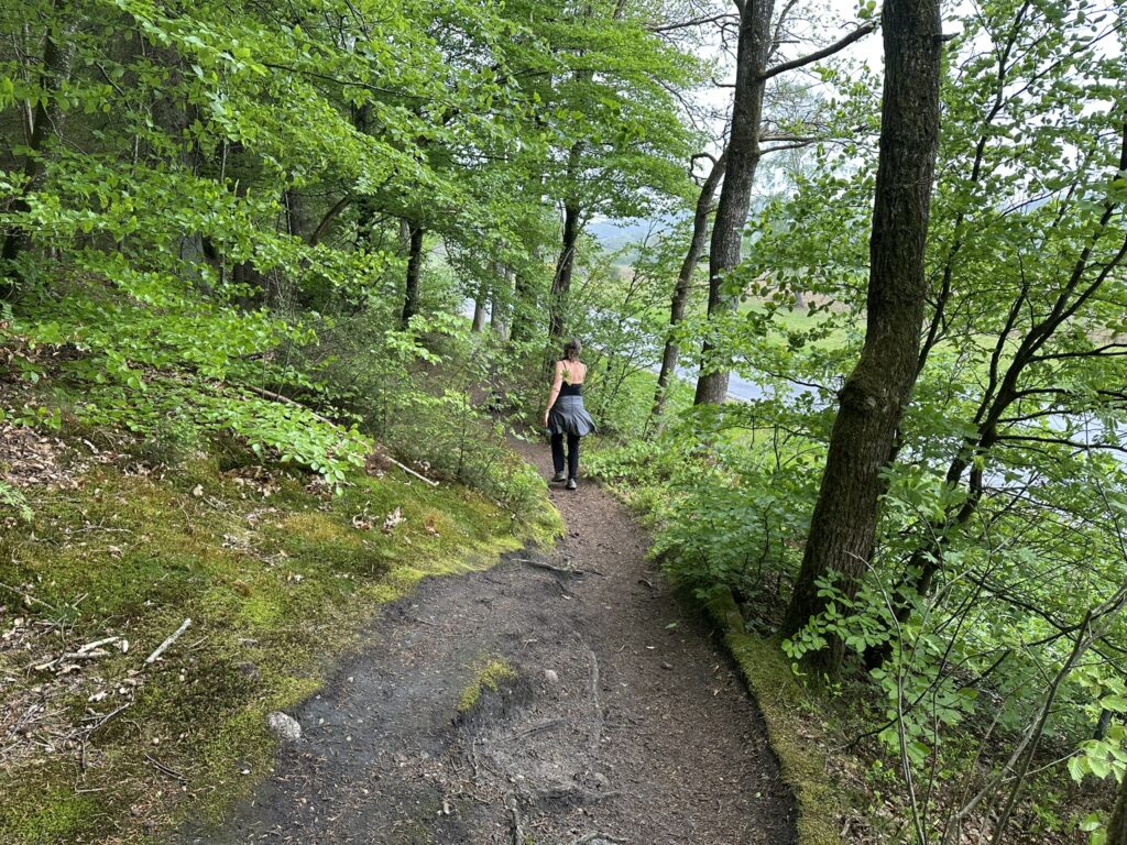
The hike is just under 11 kilometers long and involves an elevation gain of 317 meters. It took us a good three hours, including all our breaks to enjoy the view and the provisions we had brought along.
Click on the map below and it will open in Google Maps. From here, you can follow the route as you are hiking.