
Around Grenen – Skagen. 13 km.
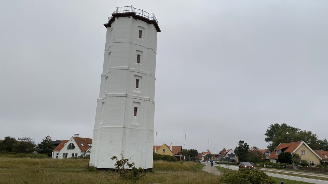
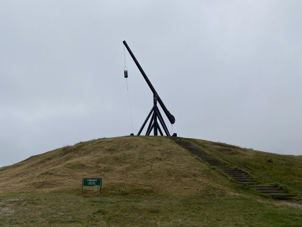
If there is anything that draws people in, it is the water. Skagen is located at the northern tip of Denmark, and Grenen lies at the very point. Who hasn’t heard of—or experienced—standing with their feet in the water, with one foot in the Skagerrak and the other in the Kattegat? We set the GPS to "Det Hvide Fyr, Skagen" and parked in the lot right next to it. The White Lighthouse, which is Denmark’s oldest lighthouse. From the White Lighthouse, we head towards the water and the old *Vippefyr* (lever-operated beacon), which is Denmark’s oldest of its kind (not to be confused with a *Knaldfyr*—a detonating beacon—which can be seen on our tour in Nyborg).

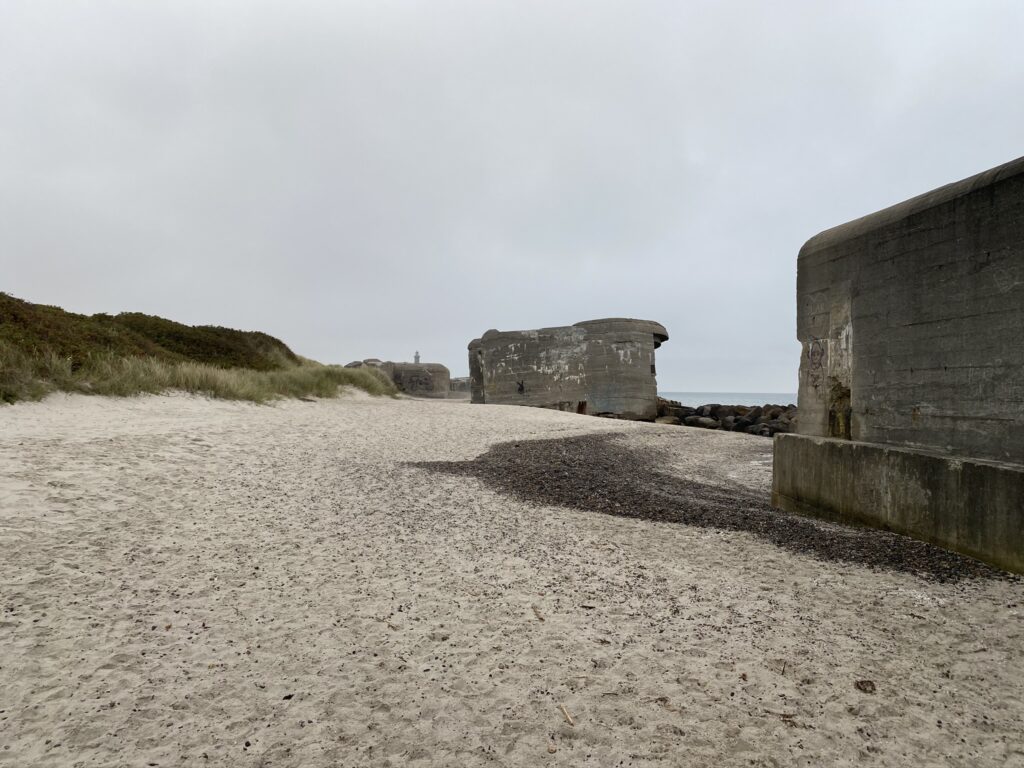
Once at the beach, we turn left and head towards Grenen. We choose to walk along the sand for most of the way, even though we know it will be hard going. However, the experience makes it well worth the effort. The wind in our faces and the sound of the waves rolling the stones along the shoreline offer a meditative experience for body and soul. We walk past some of the old bunkers that stand as reminders of World War II. The Germans built these numerous bunkers in the early 1940s to defend the port of Skagen against attack. After just over two kilometers, we reach the third lighthouse of the day: Skagen Lighthouse—or the "Grey Lighthouse"—which replaced the "White Lighthouse" in 1858.


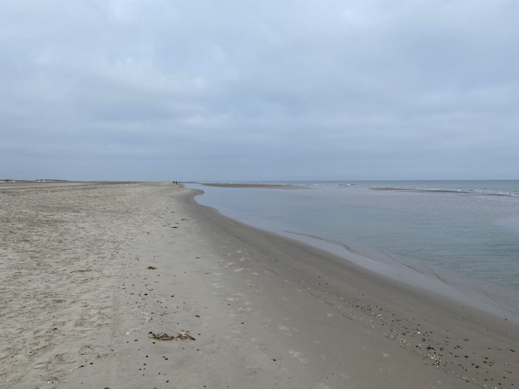
It is a walk of approximately 4 kilometers from the start to Grenen, with the route alternating between the water's edge, stretches of pebbles, and paths winding around small dunes or mounds. Out at the tip of Denmark, signs warn that there are many seals and advise us to keep a safe distance of about 50 meters from them.

Grenen – Skagen (Bemærk sælen i baggrunden)


After enjoying the sight of Grenen and the seals—which were both lying on the beach and swimming just ten meters out—we continued down the west coast towards Denmark’s northernmost point (having long believed that Grenen held that title). Along the way, we could see in several places how the sea was eroding the beach and how the wind was shaping the sand into small sculptures.


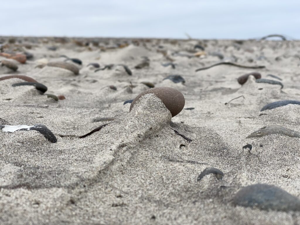
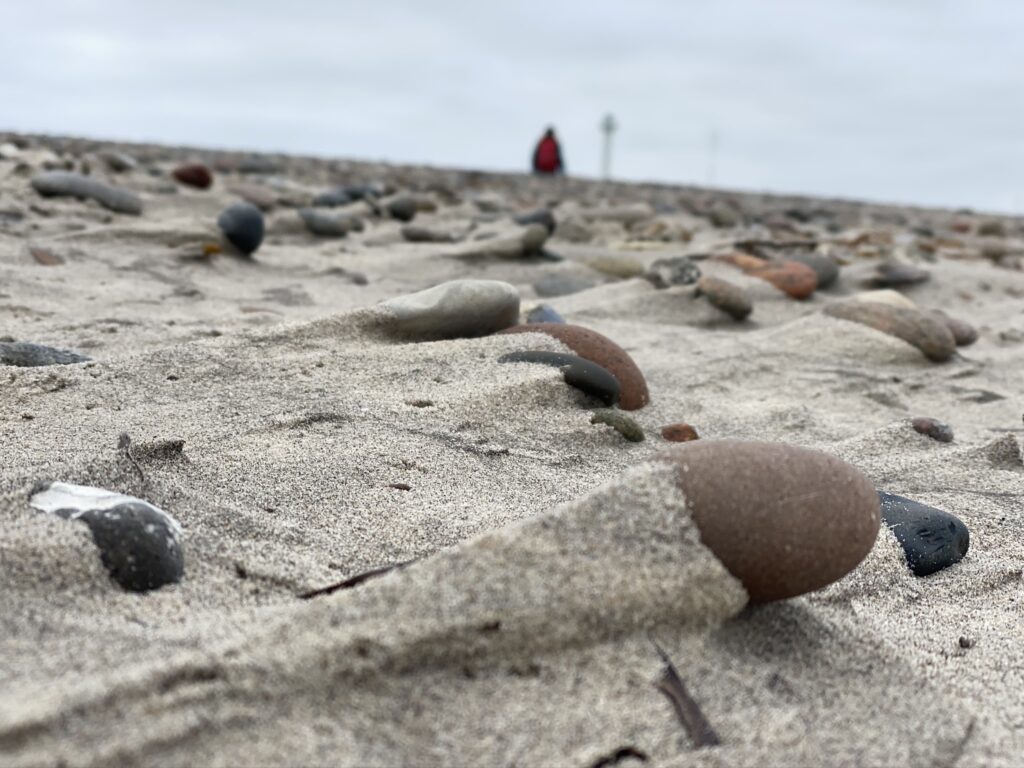
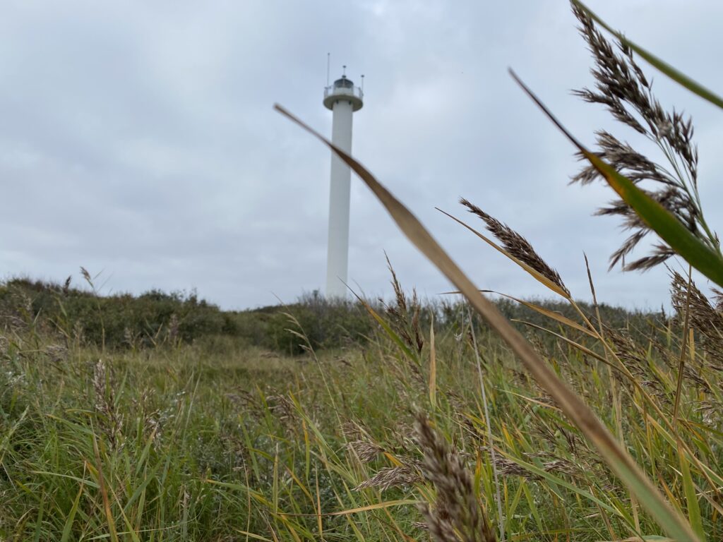
We continue along the coast until we reach the day’s fourth lighthouse—Skagen Vest Fyr (Denmark’s northernmost lighthouse)—where we turn left and walk through the heathland to reach it. The path to the lighthouse is not easy, but we make our way through. From the lighthouse, we head slightly northeast towards the Skagen radar station to pick up a very narrow, yet marked, footpath. We follow this path until we reach Batterivej.


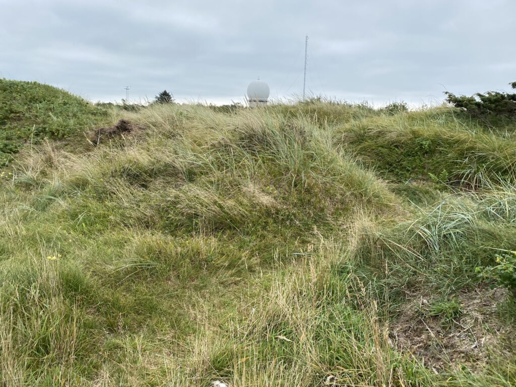
Once out on Batterivej, we turn right and then take the first right. Here we come across... Skagen Lifeboat Station, which was built in 1858. Back then, the water was closer, but the coastline has changed since. We continue along the established path, which in several places consists of small bridges and raised walkways—evidence that the area can get quite wet at times.

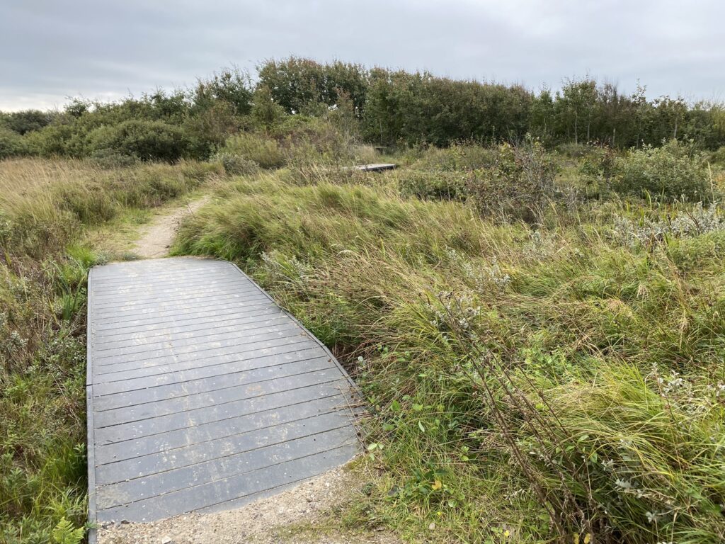
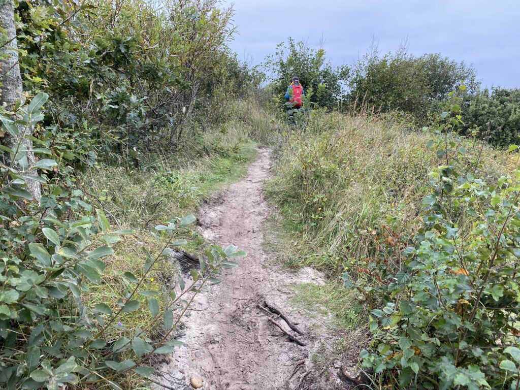

Upon arriving at Skagen Odde Nature Center, we walk across the car park to Bøjlevejen; we cross the road, turn right, and follow Butterstien until we reach Nedre Mosevej. (The route can be shortened by about 1 kilometer if, from the car park, you walk straight across Bøjlevejen and take the path leading towards Guldmajsvej.) We follow Nedre Mosevej for nearly 1 kilometer until we can turn left onto a cycle and footpath that leads all the way to Hvidefyrvej. Here, we turn right and follow the road back to the car.

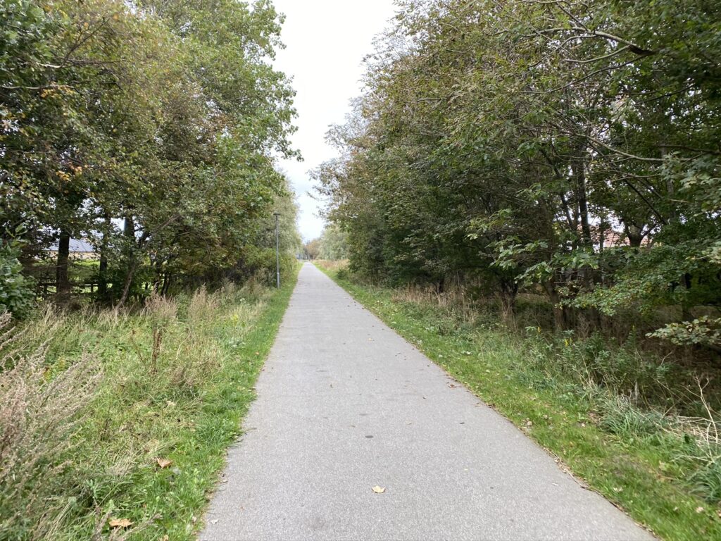
The route is just over 13 kilometers long.
Click on the map below and it will open in Google Maps. From here, you can follow the route as you are hiking.
