
Dyreborg, Faaborg – 12 km.
This tour includes a short wade through knee-deep water!
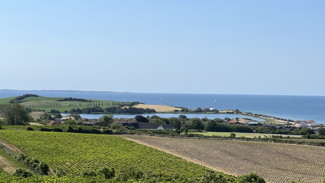
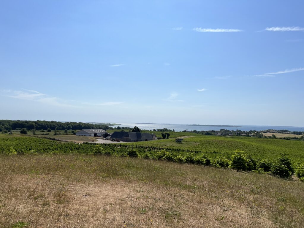
Just southwest of Faaborg lies Dyreborg with the most beautiful view over the South Funen archipelago. On the road from Faaborg and down towards Dyreborg we have the most beautiful view over Lyø and the other small islands.
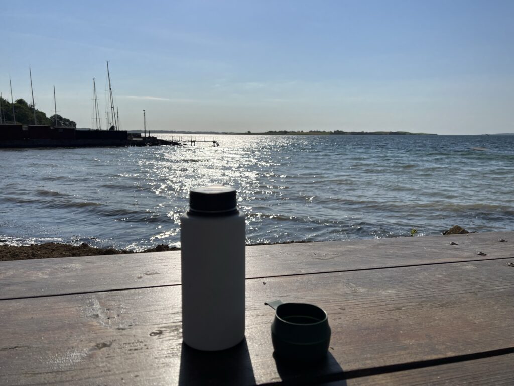
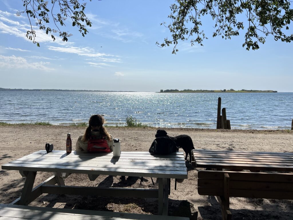
We have set our GPS to Dyreborg Havn, 5600 Faaborg, but choose to park the car a little further away. Here we can stop under a tree, sit at a table and bench set and eat our breakfast and enjoy our coffee right at the water's edge. We can see over to both Bjørnø and Avernakø, and while we sit there, several sailboats pass by.
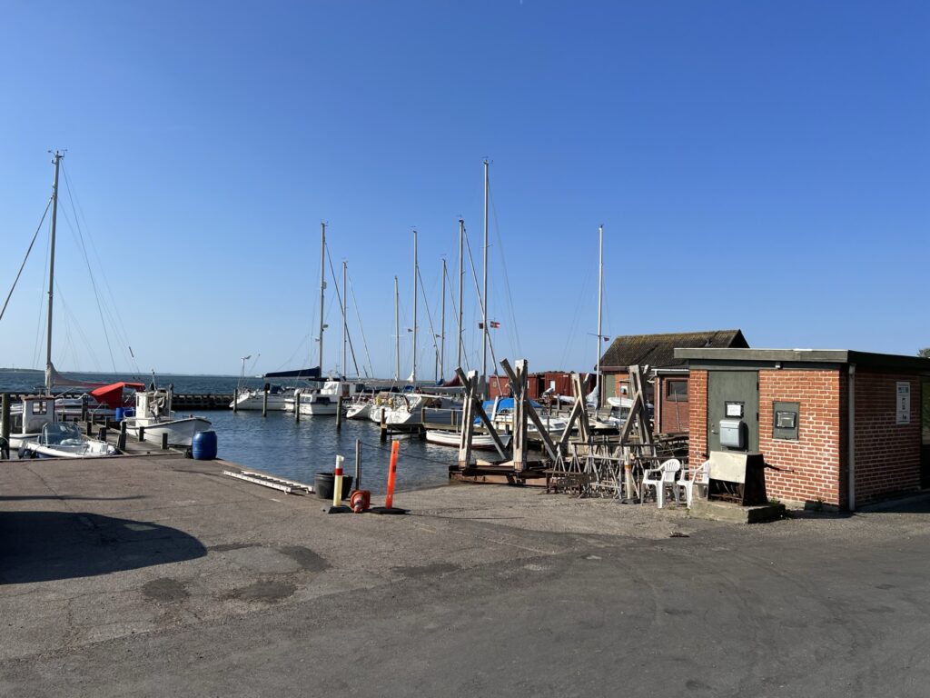
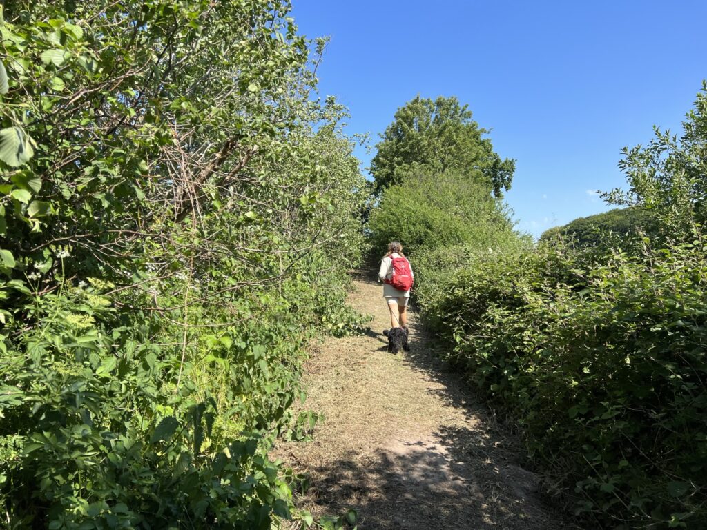
After enjoying our coffee, we set off on our hike today, walking with the water on our right. We pass the small marina and continue straight on the gravel road, which later turns into a narrow paved road.

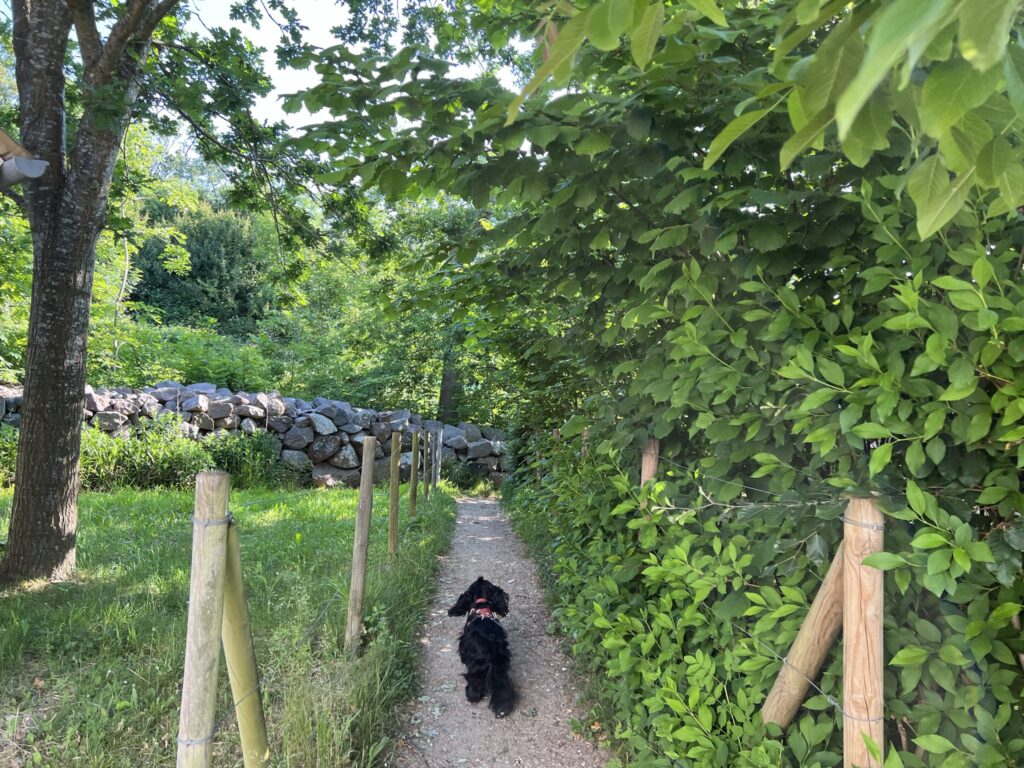
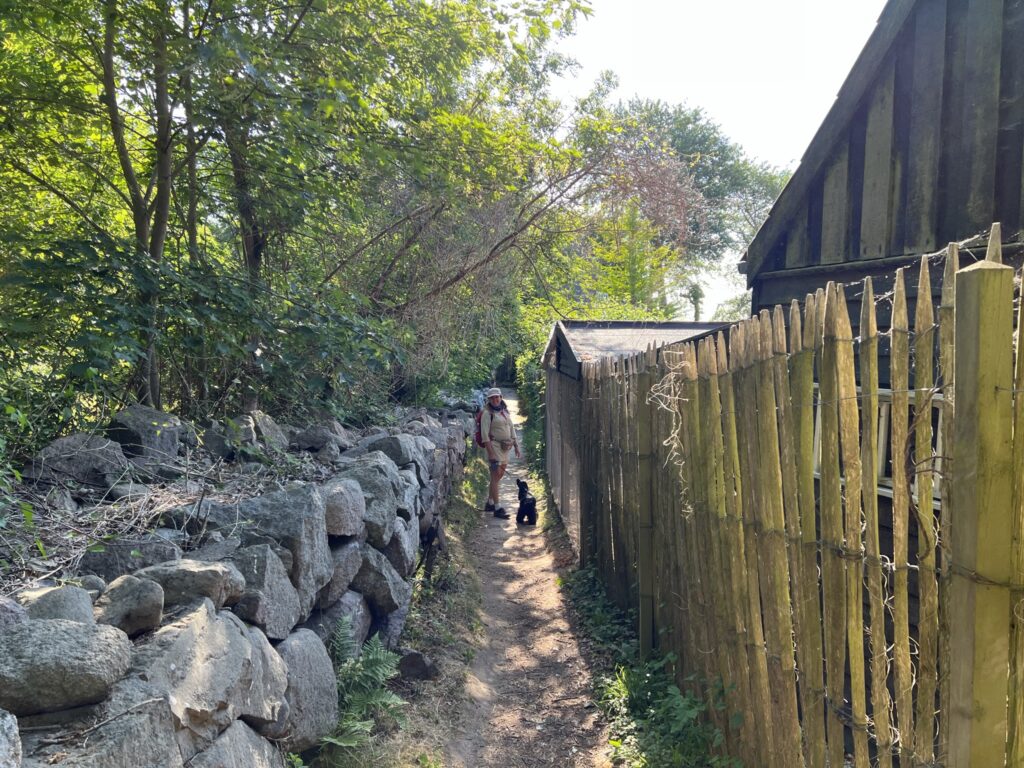
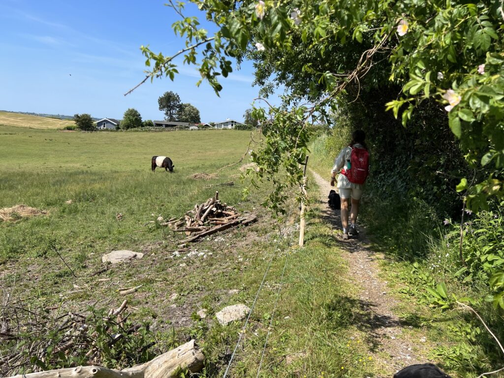
At the end of the road there is a very small path to the left and this path leads us up along a beautiful stone fence on one side and the back of some properties on the other side. (This passage can be very difficult to walk on when there is frost and ice!) The path ends down by the water, where the dogs can have a dip.

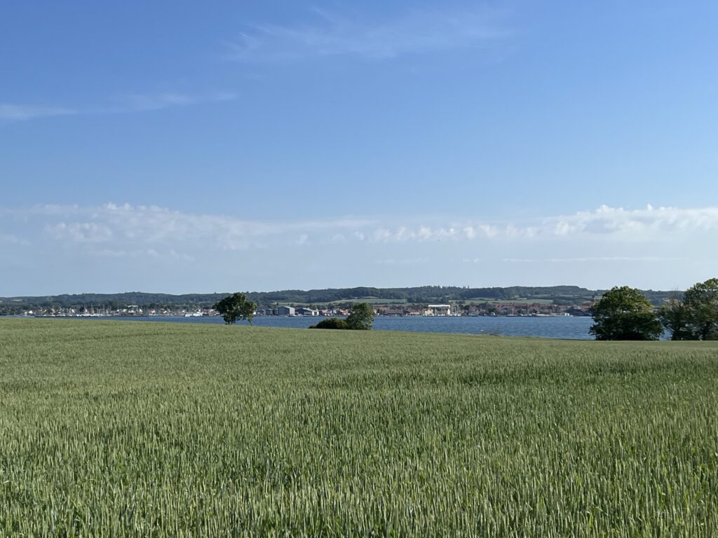
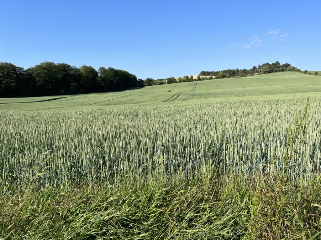
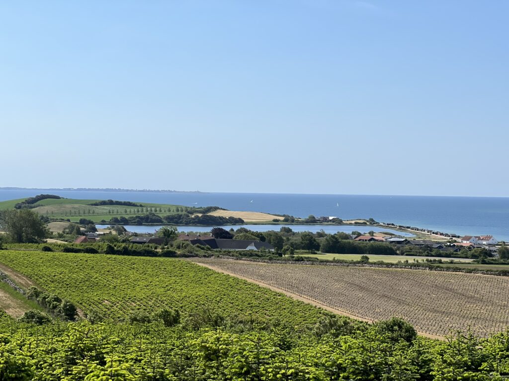
We continue along the wide gravel road and as the road turns 90 degrees to the left we see one of the old lighthouses/seamarks standing next to it. We now walk with the forest on our left and the open fields on our right. The hilly terrain from the ice age provides some beautiful scenarios, and soon a beautiful view reveals itself with a view over the water to Faaborg on one side and the beautiful hills on the other side.

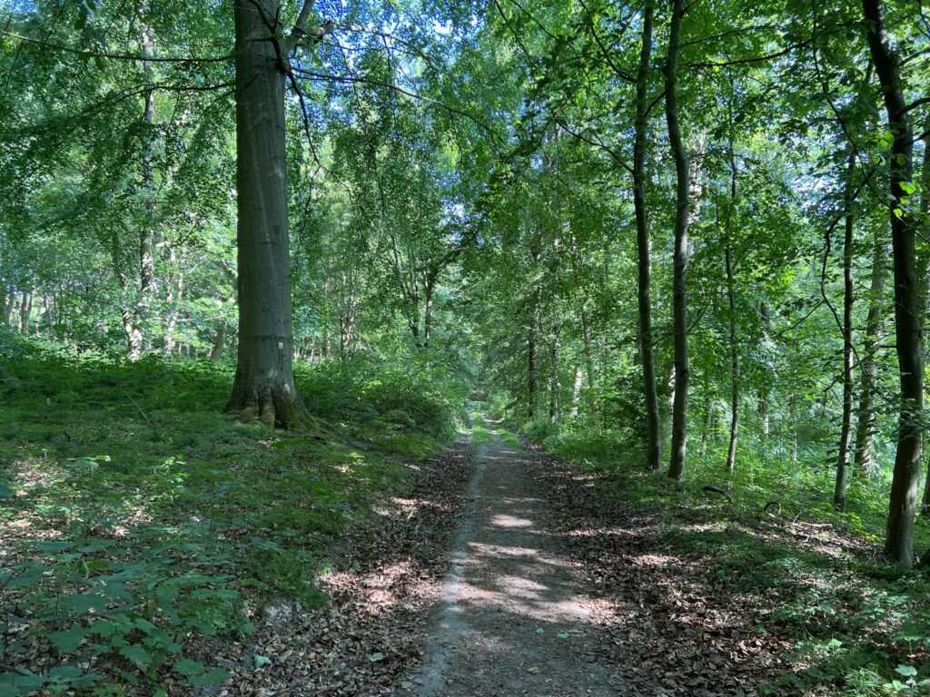
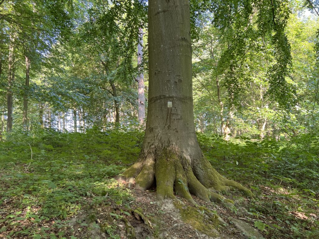
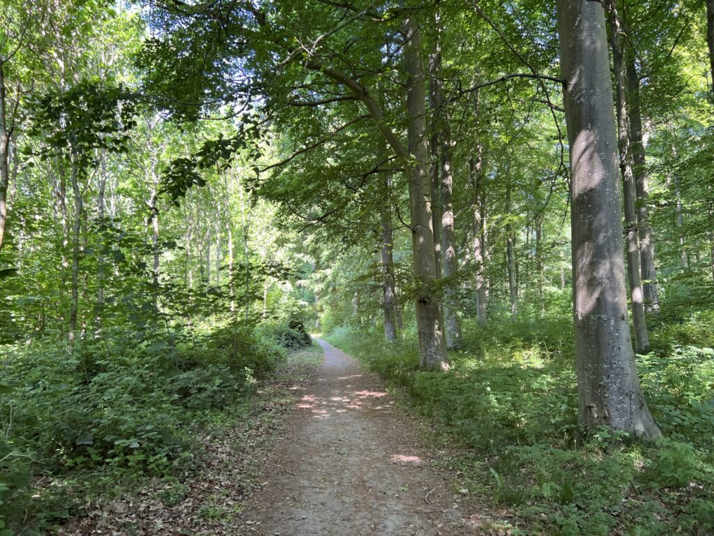
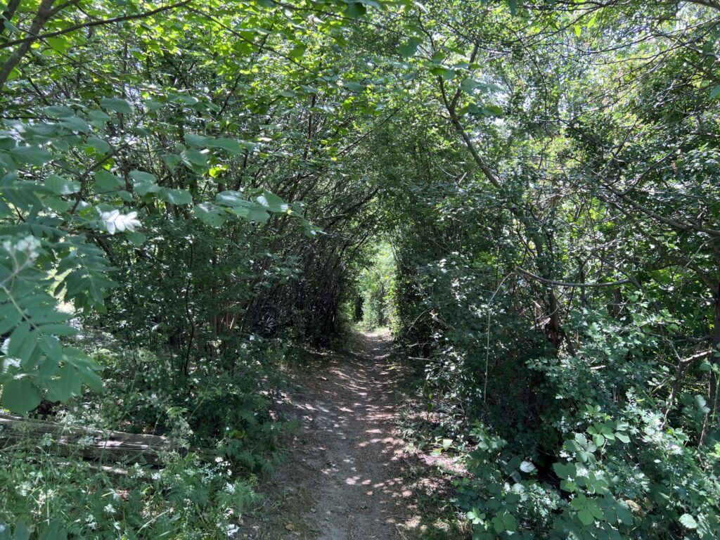
We continue along Bjerne Langgyde until we can turn sharply left onto Dyreborgskovvej and back towards Dyreborg and the forest. The view from Dyreborgskovvej and over Faaborg is even better here, perhaps because we are higher up. We now come down to the forest, where we turn left onto the first forest road, and after approx. 200 metres we turn left again down another forest road. The forest is full of so-called livstræer, which are characterized by the fact that they all have a plate attached.

The forest road we are on takes us in a big soft curve around, and when we come to a large clearing we are lucky enough to see a large beautiful white-tailed eagle take off from our left and fly over and sit in a tree on the other side of the clearing. After digesting this wonderful experience we continue along the path, which now becomes narrower, but which in turn leads us out to the water again.


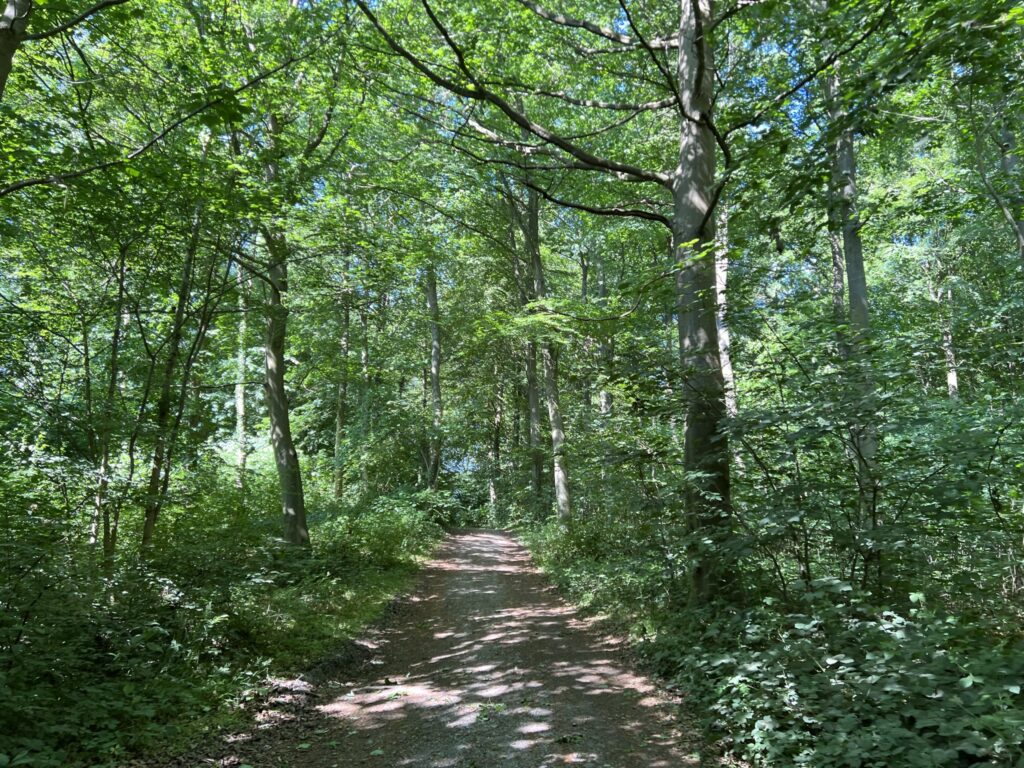
We stay at the edge of the forest and walk to the right with the water on our left, and come to Dyreborg Madpakkehus and nature base, where there is a table and bench set as well as a toilet. Ideal for a stop for a cup of coffee and some cold water for the dogs. We continue into the forest again and come to a larger forest shelter, which is built with inspiration from a deer feeding house.


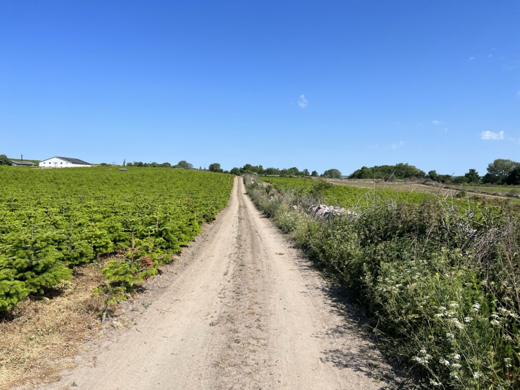
Shortly after the shelter we turn left and follow the path that winds up and down through the beautiful forest. We keep right and come out to Dyreborgskovvej, where we turn left and after a short time turn right into the forest on the opposite side of the road. We soon come out of the forest and just follow the field road, which after a short time turns 90 degrees to the right. A little later we can keep left in between a freshly cut thicket, and when we come out at the end of the thicket, we can look out over a Christmas tree plantation.

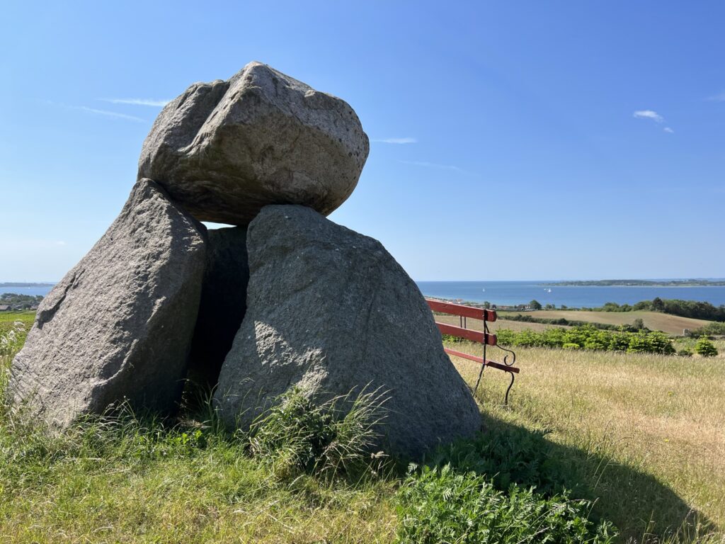
We now walk to the edge of the Christmas tree plantation and turn left at the natural boundary. We turn right along a gravel road up between the Christmas trees and follow the road as it turns sharply left. We turn right again and now walk along the boundary up past the large barn building that belongs to the Christmas tree plantation. When we have passed the building, we turn left along the boundary and come out onto Knoldsborgvej. The area is known for the Knoldsborg dolmens, which are some particularly beautiful large stone tombs from the Neolithic Age built around 5500 years ago. We choose to walk up to the one that is located at the very highest point, from which there is a breathtaking view over the whole of Dyreborg and the South Funen Archipelago.
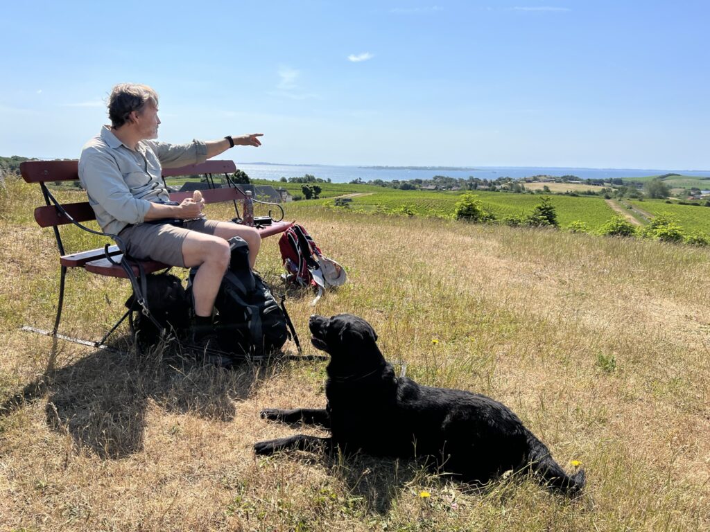
After enjoying lunch with a view that is hard to beat – and with the buzzard circling overhead – we head back to Knoldsborgvej, which we follow down past the beautiful old farmhouse and down to Dyreborgvej, where we turn left and immediately right onto Lille Stege. We keep left and finally follow Lille Stege around to the right. We turn left along a very small path down through dense vegetation, and at the end we turn right and follow a small path that leads us over to a smaller summer house area. Here we turn left and now come out onto an open grassy area with a view of Dyreborg Fiskerihavn, which is probably more of a Nor than a harbor. We cross the open area and come out to Drejet, which is a long spit with the Nor on the left side and the sea on the right.


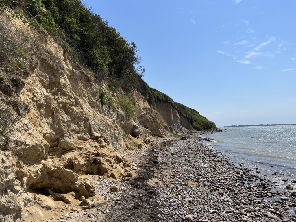
We pass the many small old fishing huts that are close to the water and are on our way out to Knolden. Take a look at the imaginative names of the huts that will make you smile. At the end of the strait we keep to the right and now go down to the beach. We are once again reminded that Denmark in so many places is characterized by being shaped by the large masses of ice. The slopes here are high with different clay layers. The beach is filled with very large stones in several places, so it may be a bit of a climb in some places – but short, slow steps do the trick.

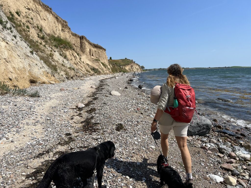
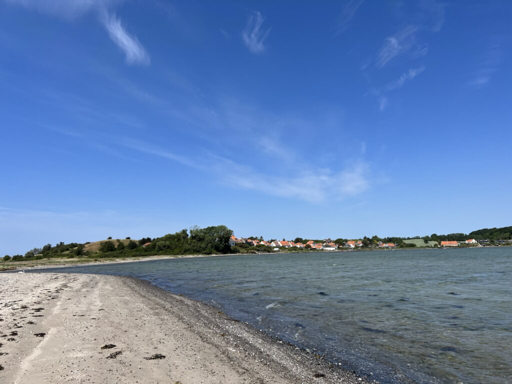
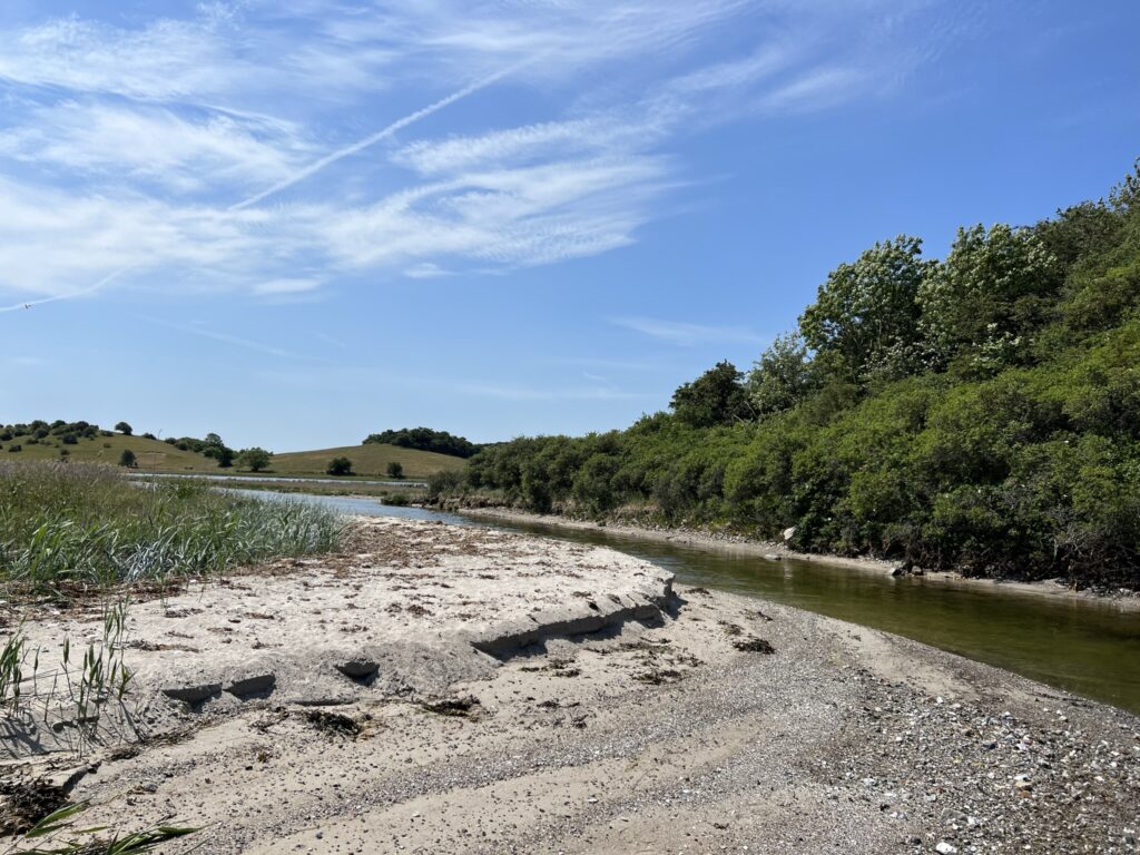
We follow the beach all the way around the Knolden, and the many turns mean that we constantly experience new views. As we come around, the landscape drops down to sea level, and we can again see over Dyreborg. There is also a quite nice view back over the Knolden, and we can clearly see where ships once sailed into the Noret. We have to pass through the water, and have to take off our shoes and socks. However, there is not even water up to our knees, so it is easy to climb the short section.
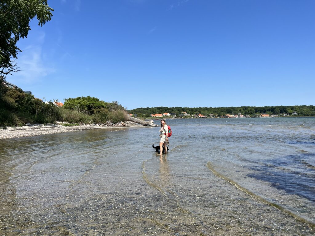

Once there, we take a short break to let our feet dry. We now follow the beach to Dyreborg and back to our car.
The hike, which is just over 12 kilometers long, is one of the most beautiful hikes we've ever done, and it doesn't matter that it took us 3 times to get it perfect!
Click on the map below and it will open in Google Maps. From here, you can follow the route as you are hiking.