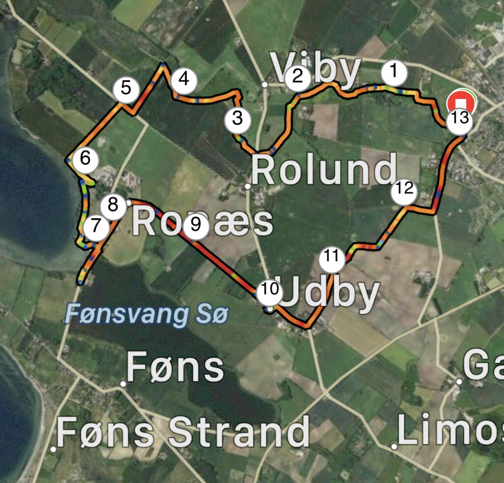
Nørre Aaby – Viby Å til Ronæs. 13 km.
Nørre Aaby is located on West Funen close to the Funen motorway, but this tour takes us around the river, beach and lake.
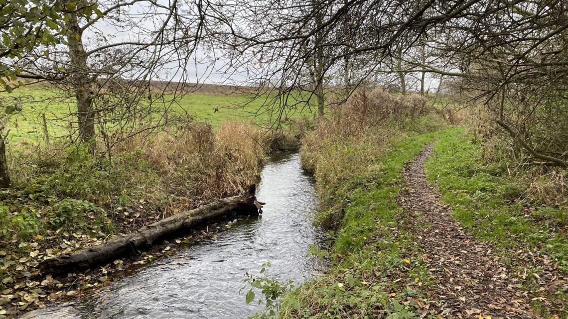
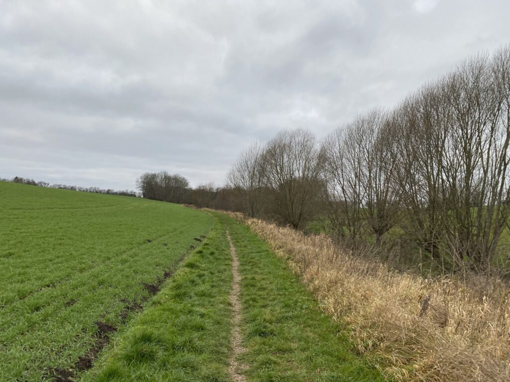
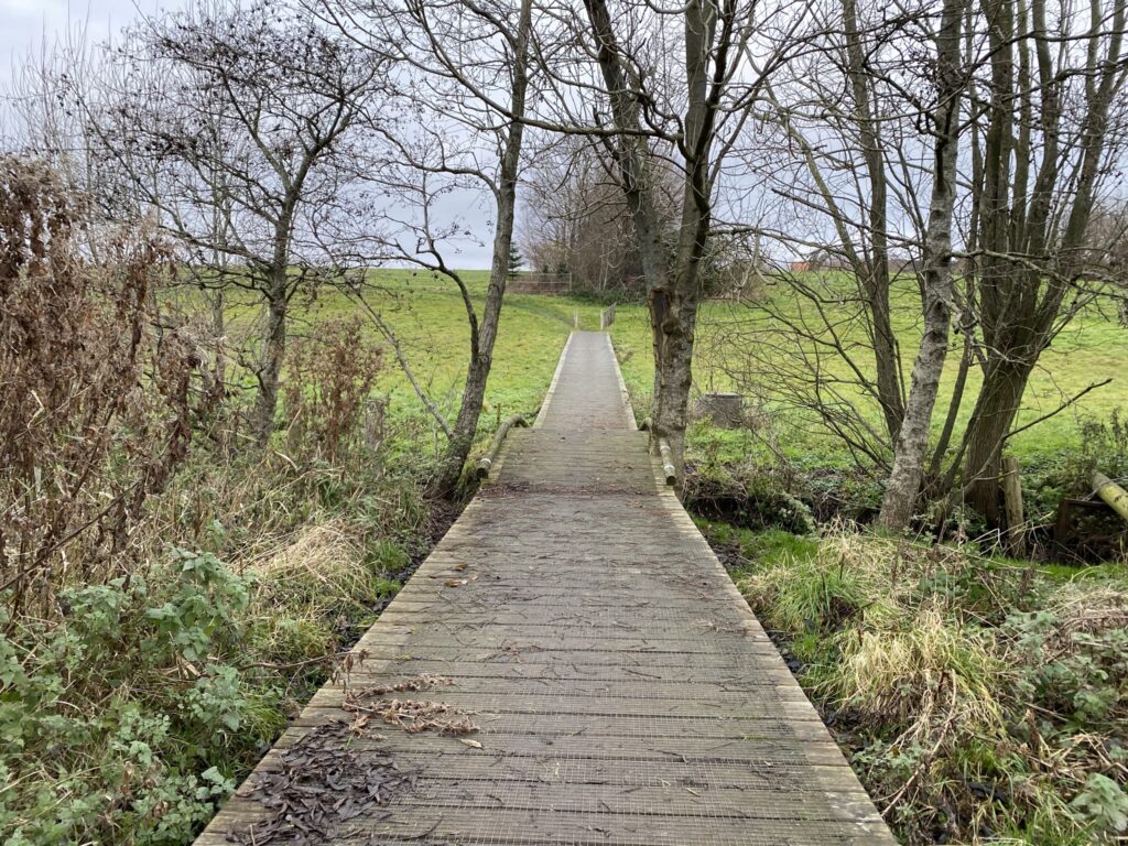
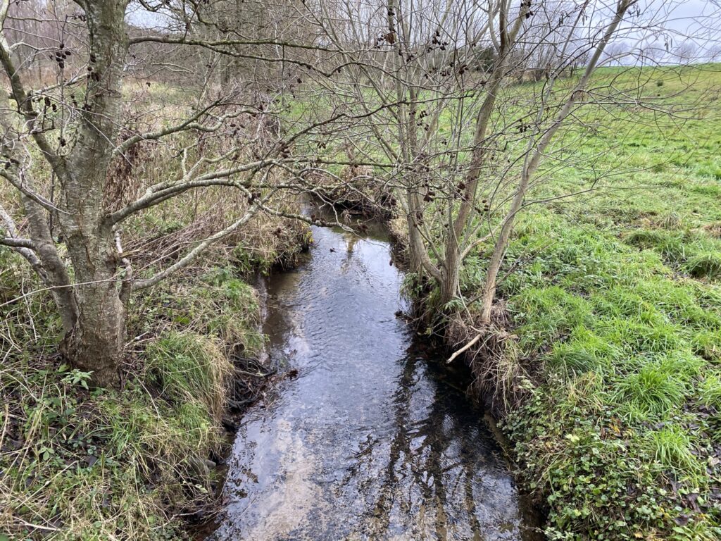
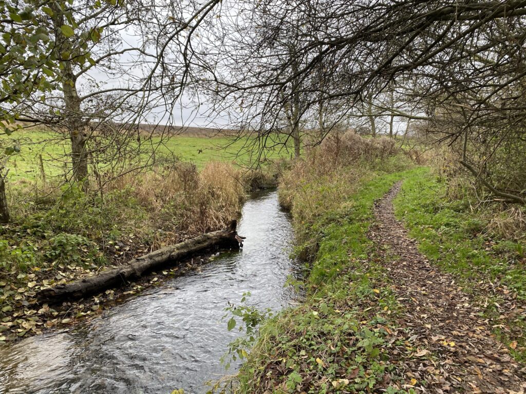
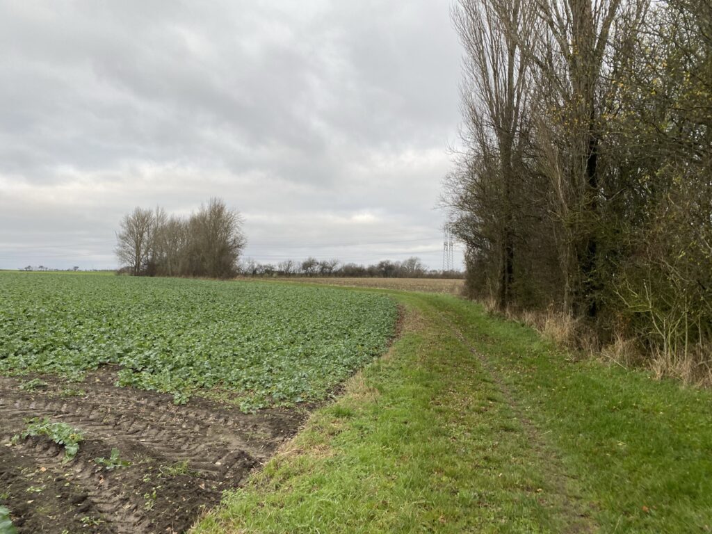
Set the GPS to Søndergade 38, Nørre Aaby and drive up the gravel road right next to no. 38. Here you can park in a field. From here the walk goes down to Viby Å, which we will now follow for the next 6 kilometers. The path is a nature and exercise path, which is made for hiking, joggers and mountain bikers. The stream is not particularly wide or deep, but it meanders and weaves through the landscape in the most beautiful way. The path is really demanding for users with beautiful footbridges, where at times it would be too soft to walk.
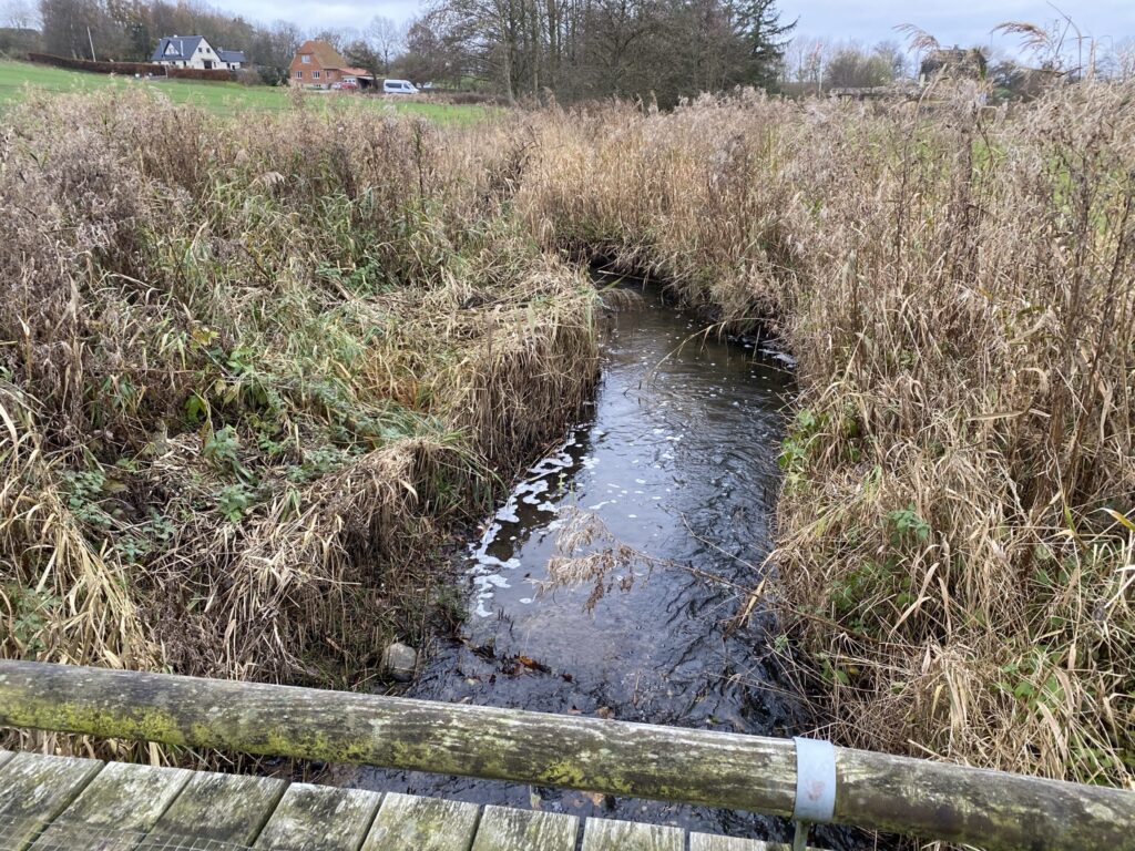
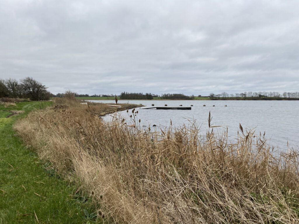
After just 2 kilometers, the first bench on the trail comes, but we continue without a break, and after almost 3 kilometers we cross just over Gammel Assensvej and continue into the area. Gamborg nor, which is a dam dating back to the 18th century. The area is now a Natura 2000 area. There are clear signs that large parts of the area are low-lying, and the water is high in several places.
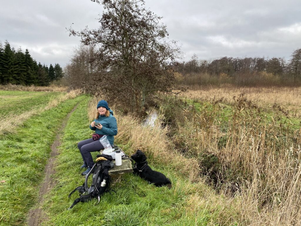
After 4 kilometers we take a coffee break on a well-placed bench with Viby Å on one side and a view of a hill ridge on the other side.
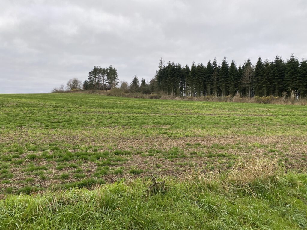
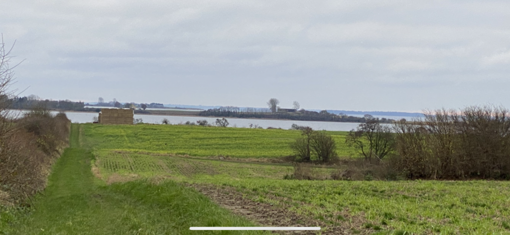
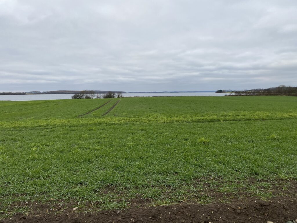
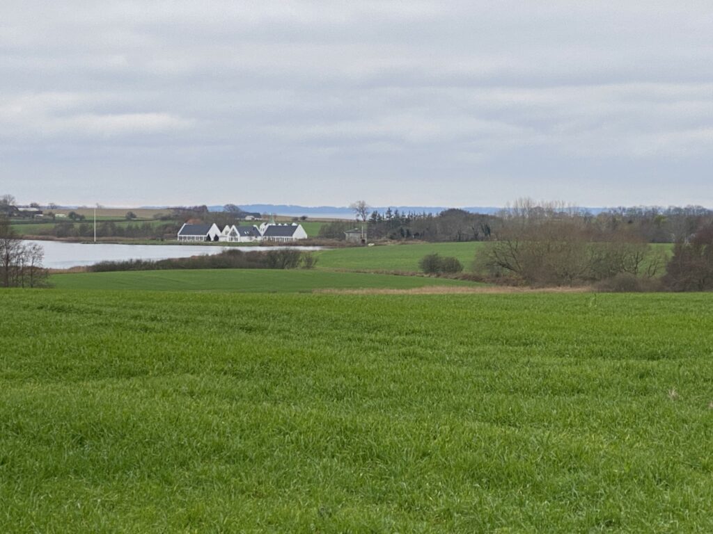
After about 4.5 kilometers the path splits, and we go sharply left and now follow a larger gravel road, which leads us up to Ronæsskovvej, where we go right and immediately after turn left again onto another gravel road. The road goes slightly upwards, and when we reach the top we are greeted by a beautiful view over Gamborg Fjord in the foreground and Føns Vig in the background.
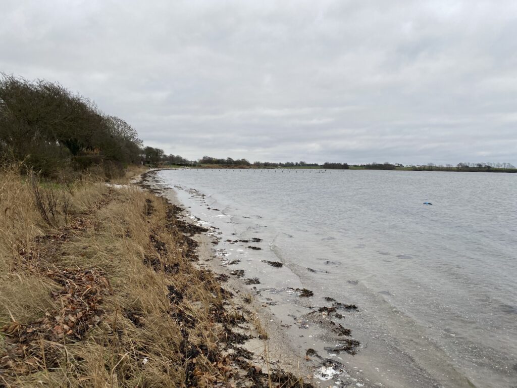
We continue down towards the water, but instead of going left along the path, we go all the way down to the water and turn left at the edge of the field. We continue behind the campsite and cross the stream at the first opportunity and walk back a little to get out to the beach, which we follow past the campsite. At the end of the campsite we go up the dike and follow the dike/field until we can get down to the water again and walk.
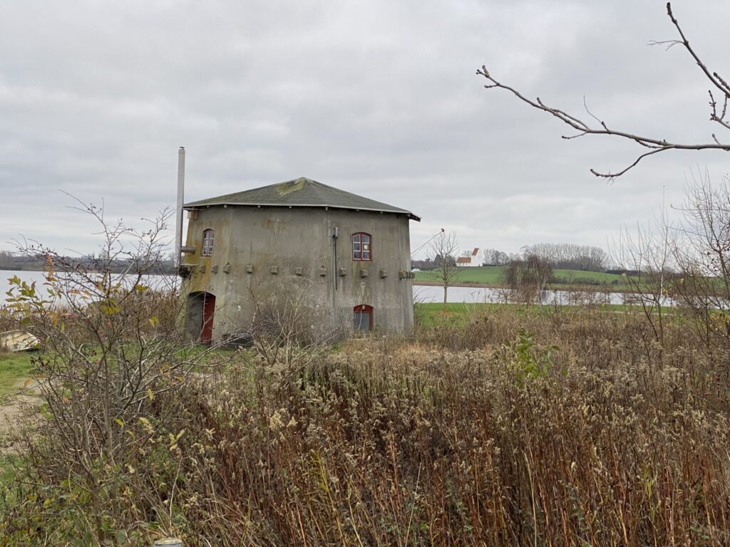
When we get to the rowing club, we follow their entrance to Ronæsbrovej. Here we turn left and take a detour from the route because we just need to pass by Føns Mølle and Sophienlyst Slot, which is located by the dam between Gamborg Fjord and Funen's second largest lake – Føns Vang
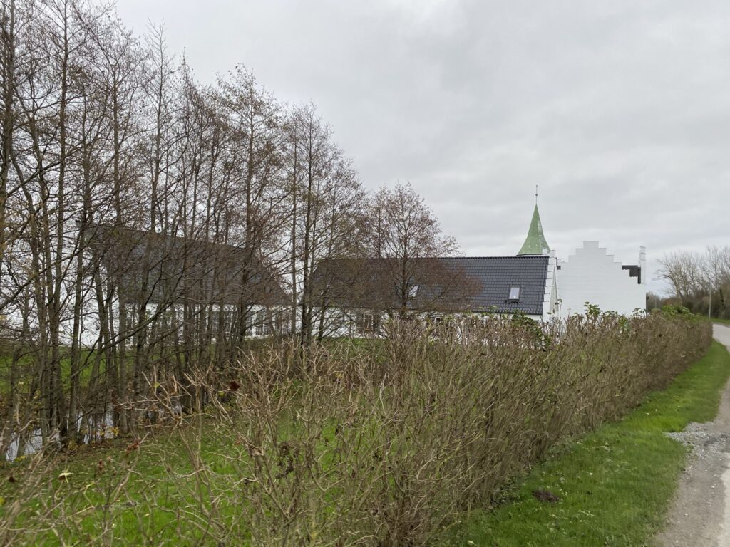
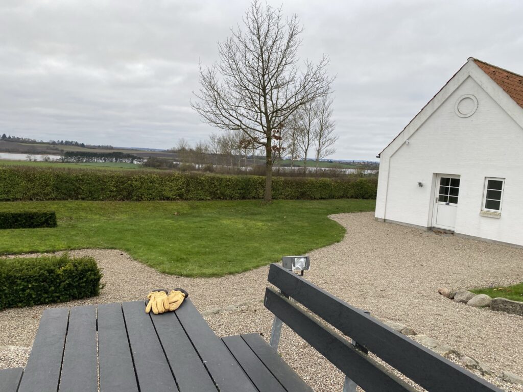
After seeing these historical buildings, we turn around and walk back along Ronæsbrovej, and continue onto Kirkegyden, which we follow all the way to Udby. Kirkegyden is located high, so on this entire stretch of the walk we have a beautiful view over Føns Vang and back to Sophienlyst Castle. At the end of Kirkegyden is Udby Church, and we go into the cemetery where behind the church we use the church's table and bench set to drink a cup of coffee and enjoy the view over Føns Vang one last time.
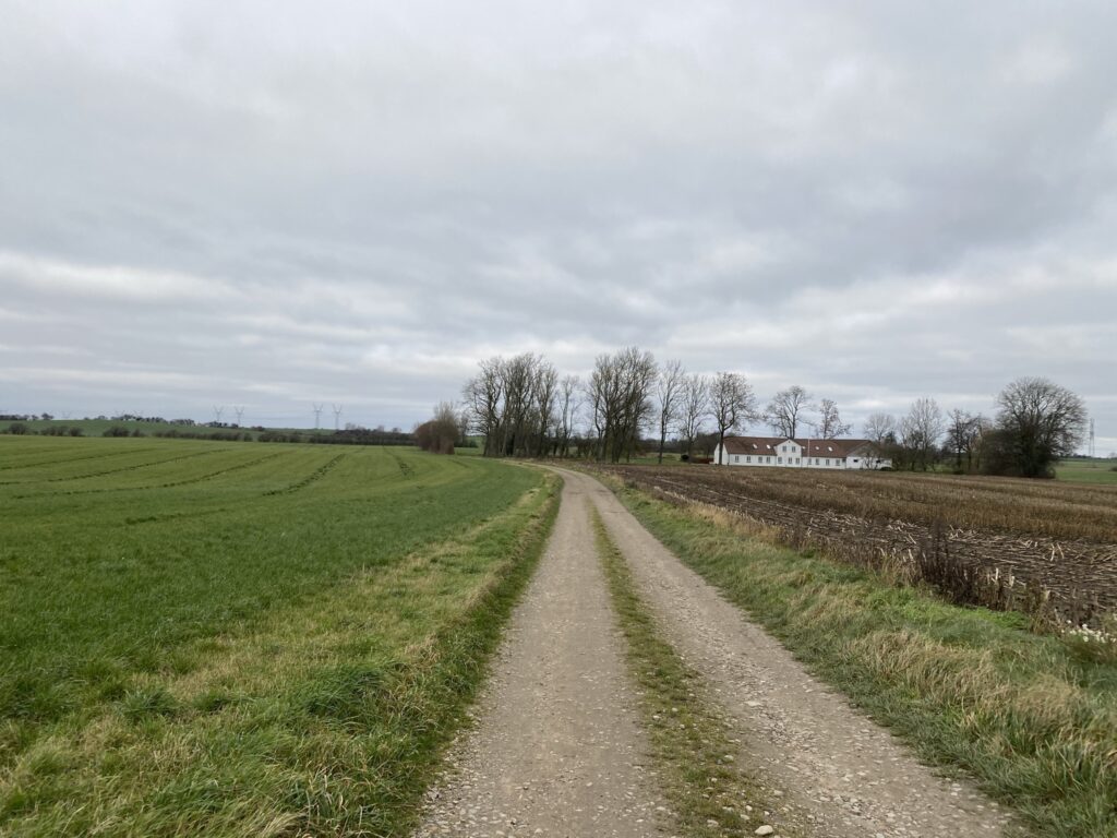
After the break, we continue along Gammel Assensvej for about 400 meters until we can turn left onto a path that is well signposted. The path goes through a courtyard with a large cowshed. Where the road turns right into another courtyard, we continue straight along a narrow tramp path. We follow the tramp path for about a kilometer until we come out onto Søndergade. Here we turn left and after a short kilometer we are back at the car.
The trip is 13 kilometers long.
Click on the map below and it will open in Google Maps. From here, you can follow the route as you are hiking.