

The Panorama Route, Mariager Fjord – 10 km.
“One of Denmark’s most beautiful hikes” – that is how the Panorama Route between Hobro and Bramslev Bakker has been described. The route has also been certified as a Premium hiking trail by the Deutsches Wanderinstitut—an honor bestowed upon only four hiking trails in Denmark.
Set your GPS to Nedre Strandvej 69, 9500 Hobro, and park your car in the parking lot. It is a good idea to start early, as the route is extremely popular and the parking spaces fill up quickly.
The route is marked along its entire length, and we follow the white route, which is 10 kilometers long. We begin by climbing the stairs—the section that traverses the hilly terrain is the most challenging, making it the most sensible choice while our legs are still fresh. On the other hand, this is also the stretch that offers the most beautiful views. Since we set out early, we get to enjoy a magnificent sunrise.


The first part of the route follows a narrow track or footpath, and early on, we pass through kissing gates indicating that we are entering areas where cattle graze. We chose to do the hike in winter because, as a rule, we do NOT wish to walk among cattle. The first kilometer offers lovely small paths, breathtaking views, and challenging hills. We hiked in freezing weather, and this section of the route was very slippery.


After walking for about 1.5 kilometers, we reach a larger gravel road that leads us past Hobro Golf Club and through their grounds. After walking for about 3 kilometers, we turn off the gravel road onto a smaller path, which we follow down through... Bramslev BakkerAlong the way, we cross a small bridge, beneath which the clearest water flows.


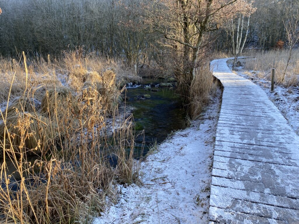
Bramslev Bakker is a protected area of approx. 300 ha. and lies down to Mariager FjordThe view over Mariager Fjord is one of the finest in North Jutland. Mariager Fjord is a so-called tunnel valley, shaped more than 200,000 years ago by massive meltwater streams flowing beneath the ice.
The journey continues through a remarkably varied landscape, alternating between dense vegetation, open areas, and steep slopes that suddenly reveal the most magnificent views of the fjord.
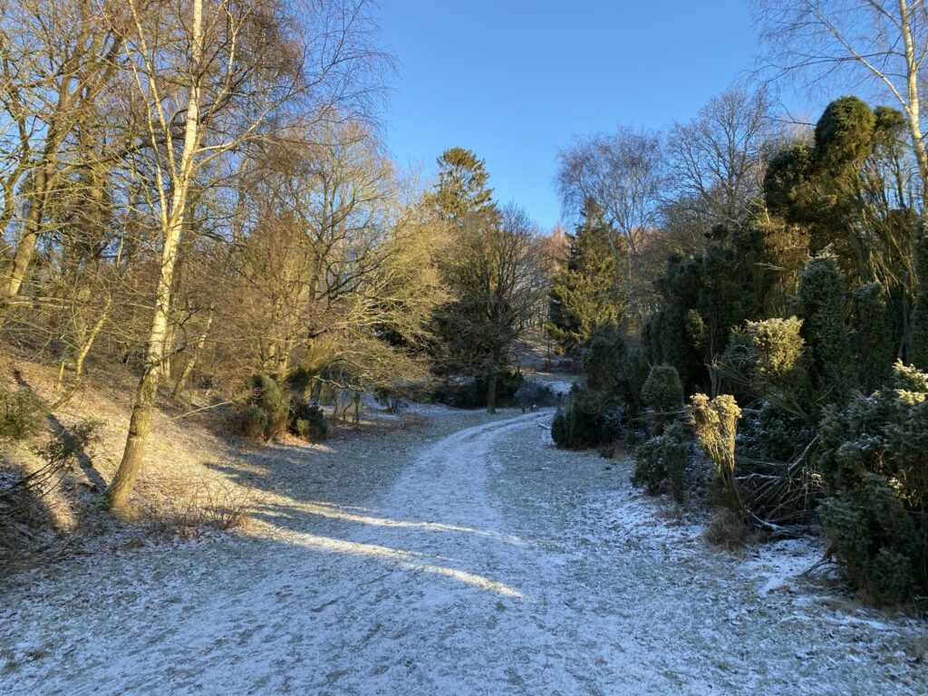


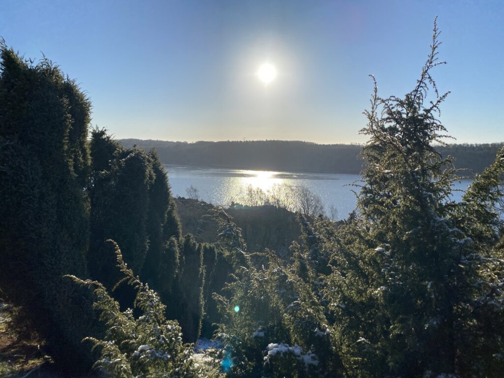
After just under 6 kilometers, you reach Bramslev Bakker Camping; in the car park in front of the main building, there are several picnic tables—an ideal spot to take a break, have a cup of coffee, and enjoy the magnificent view of the fjord. After a well-deserved rest, the route continues down towards the fjord through dense, low-growing vegetation. The next 2.5 kilometers or so follow the shoreline, once again offering stunning panoramic views set against a clear, frosty blue sky.
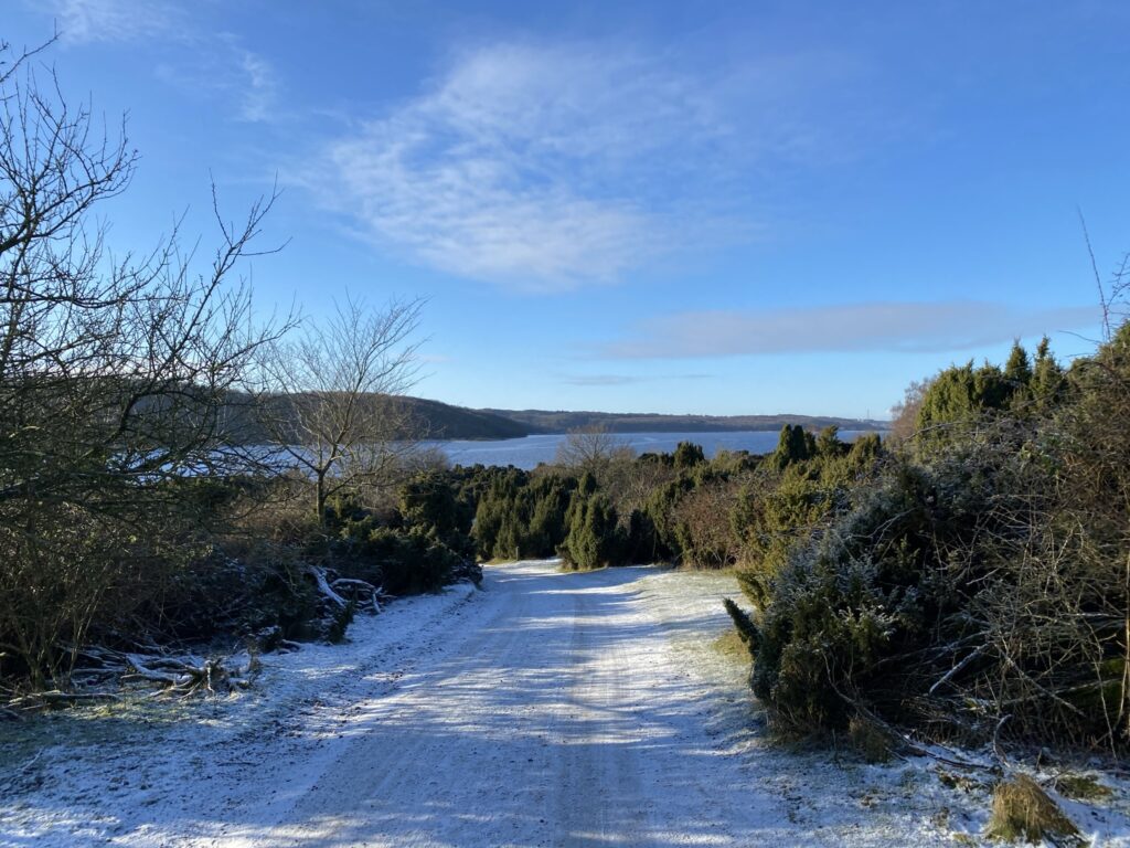


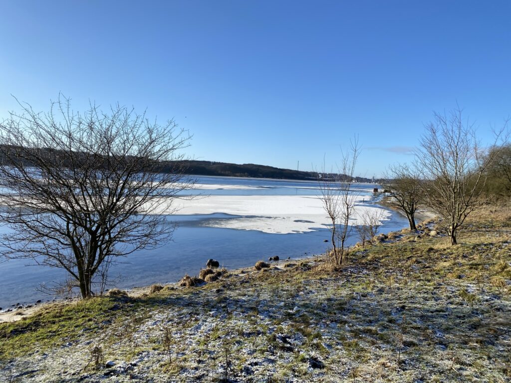
After just over 8 kilometers, the route climbs slightly into the hills again, as the beach is interrupted in several places by larger streams flowing into the fjord. We encounter another stile, but a group of cattle is standing right in the middle of the narrow passage we need to cross. Nearby, a cow is lying asleep in the sunshine. Having had bad experiences with cattle in the past, we decide against continuing along the planned route; instead, we turn back and take the first path to the left. This path leads us back up to Hobro Golf Club, so we walk the next 2 kilometers in reverse until we can head down to the marina and return to the car. Had we not been forced to turn back and find an alternative route, we could have continued along the fjord for the remainder of the route back to our starting point.


We can certainly understand why the Panorama Route has been named one of Denmark’s most beautiful hiking trails; our senses are constantly bombarded with stunning views, and there are so many stops to take photos—what we call the perfect photoshoot.
We recommend hiking the trail in the summer when the route is dry. There are many sections where the ground quickly becomes churned up and muddy, making it difficult to traverse—especially on the very steep parts. On the other hand, you should expect to encounter free-roaming cattle along the route during the summer. It is advisable to give the cattle a wide berth or find an alternative route, particularly if you have a dog with you, as cattle often perceive dogs as predators posing a threat to their calves.
The trip we take is a good 11 kilometers long.
Click on the map below and it will open in Google Maps. From here, you can follow the route as you are hiking.
