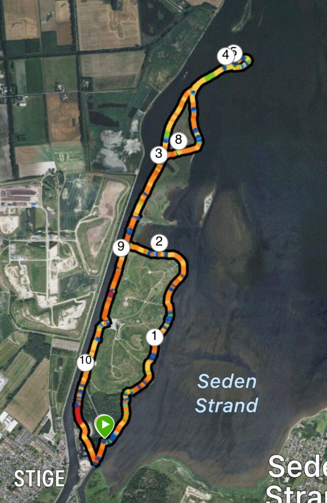
Stige Ø, Odense. 8 km.
Stige Ø is situated at the head of Odense Fjord, flanked by the fjord on one side and the canal leading to Odense Harbour on the other. The island was formed in the 19th century during the excavation of the canal to Odense. Over the years, Stige Ø has served a variety of purposes. In the late 19th century, the large green area was a popular destination for outings. The Stige Bathing Establishment was founded in 1894, featuring a combined restaurant and seaside hotel—a building known today as Søpavillonen. Later, a circus and a sailing club were established there. That era came to an end when Søpavillonen burned down. The "Sortehusene" houses were built in the early 20th century, and in 1965, the area began serving as a landfill for the entire city of Odense. It operated as a landfill until 1994, when it was determined that the site was having a harmful impact on the fjord and the environment. Between 1994 and 2005, the area was transformed into a recreational space; today, it stands as a green oasis welcoming nature enthusiasts.
We have set our GPS to Østre Kanalvej, 5000 Odense C, and we follow the road past the Odense Sailing Club and the Stige Ø marina on our left, pulling into the first lay-by on the right just after the marina. Our walk begins here by heading right towards the fjord; upon reaching the water, we can see the mouth of the Odense River off to the far right. The path continues past the Stige Ø shelter site.
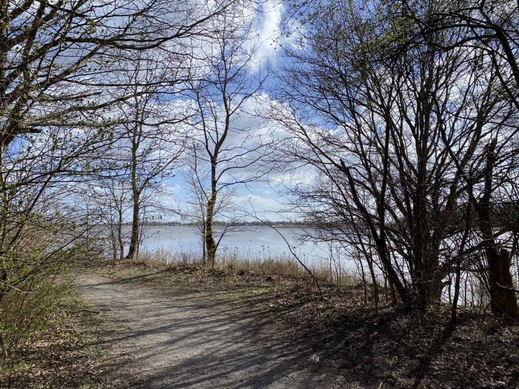
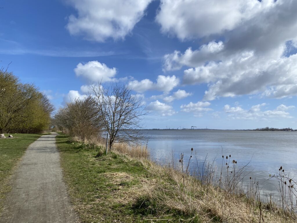
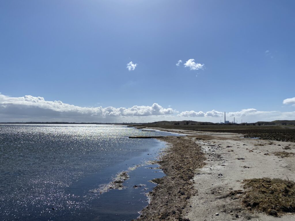
Straight ahead, we can see the Lindø Shipyard, where the massive gantry crane towers over the large foundations for offshore wind turbines. Looking to the right across the water, we can see Seden Strand and Seden Strandby. After about 500 meters, we reach the hilly terrain that characterizes the period when Stige Ø served as a landfill. We keep to the right side of the island and enjoy the beautiful view.
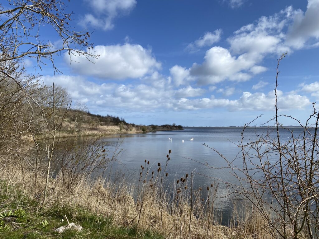

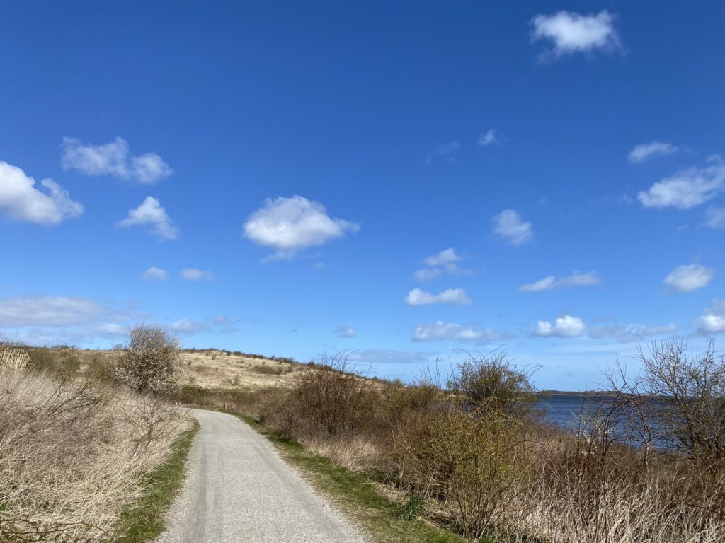
The path turns left as the island suddenly narrows into a slender spit of land. Over on the other side, we can make out Sortehusene. We turn right and pass close by Sortehusene, which was Funen’s answer to Christiania. The first of these "Black Houses" were built in the early 20th century in the area between Stige Ø and Stige Ø Nord. The houses had neither electricity nor running water and were occupied by the poorest residents, who could not afford housing elsewhere. The area functioned as a free community right up until 1966, when the Municipality of Odense banned permanent residency. Today, about half of the houses remain and are used as holiday homes.


We continue through the self-closing gate, seeing that there are no animals grazing in the area. We keep to the left side of the island, with the canal on our left. The area is teeming with geese and coots that squawk as we walk past. We are now approaching the tip of Stige Ø, and it is a unique experience. Just before reaching the outermost point, we have to cross a narrow spit of land no more than a few meters wide; at high tide, the crossing can be difficult as the water rises on both sides. We make it across without trouble and can now see Vigelsø straight ahead and Klintebjerg slightly to the left.


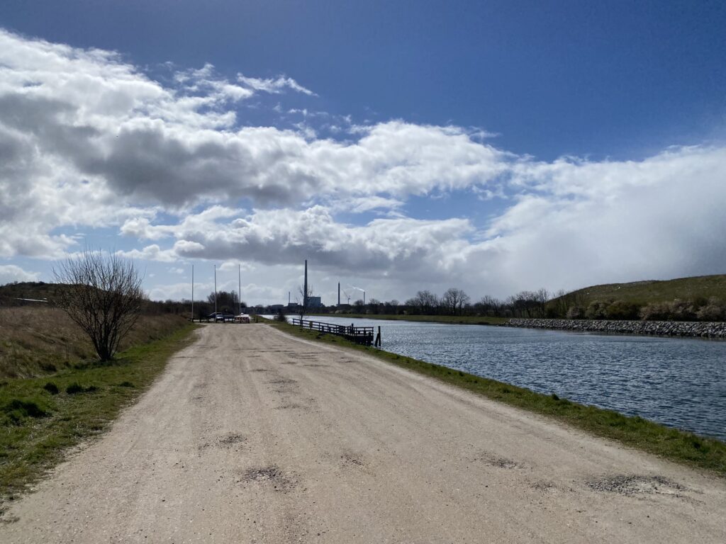
After a short coffee break at a conveniently located picnic table, we head back towards Odense, but this time we keep to the left to follow the fjord. However, after just under six kilometers, we decide to cut across the island to ensure we don't encounter ground that is too soft and have to turn back the way we came. As we pass Sortehusene, we keep to the right, following the canal into Odense. We pass Søpavillonen, and upon reaching the reconstructed statue... “Campfire” by Ingvar Cronhammar We turn right, following the canal. We now have a view of the Fynsværket power plant's chimney straight ahead and can see across to Stige on the other side of the canal.


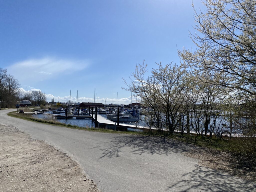
The path leads us past the marina and out to Østre Kanalvej, where we turn left and arrive at our car immediately afterwards.
The route is just over 8 kilometers long, but it can easily be extended—and involve more elevation gain—if, instead of walking along the water, you choose to hike up the high hills; rising up to 30 meters, they offer a fantastic view of the inner fjord.
Click on the map below and it will open in Google Maps. From here, you can follow the route as you are hiking.