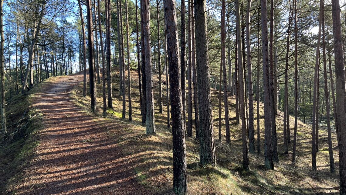
Tversted Klitplantage, Nordjylland, 10 km.
In the northernmost part of Denmark, roughly between Hirtshals and Skagen, Tversted Klitplantage is located just outside Tversted town and facing the North Sea.
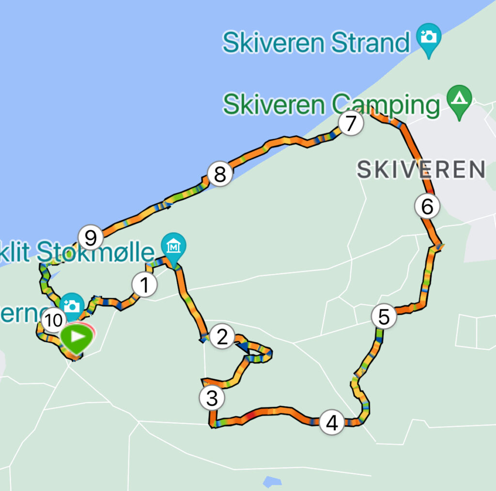
Set your GPS to "Tversted Naturlegeplads", where there is a nice large parking lot. We start out by following the sign towards the Tversted lakes.
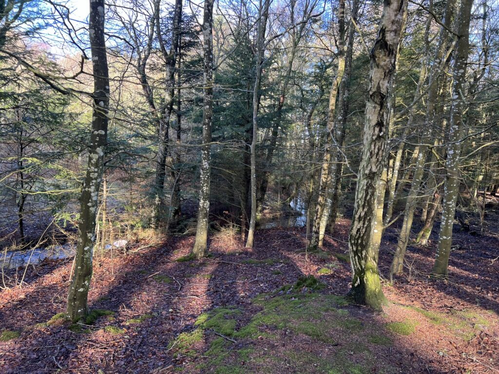
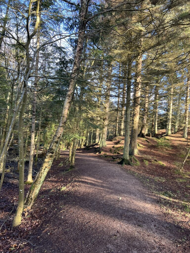
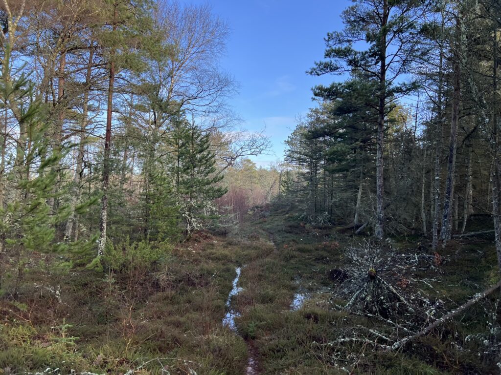
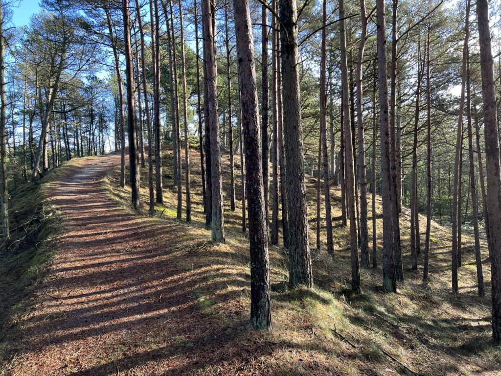
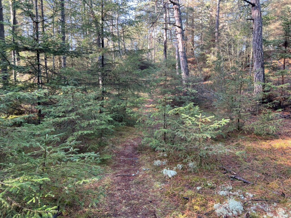
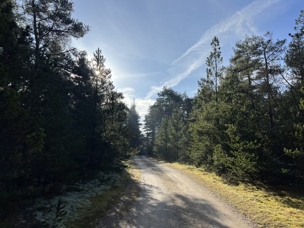
We are lucky with the weather – for the first time in a long time there is a view of blue skies for a few hours and the sun is high in the sky, which only emphasizes the beautiful colors that are in the forest after all in the month of February. The paths are beautiful and the shadows long.
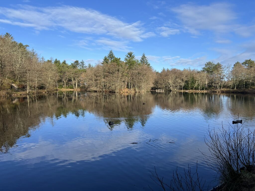
After just a few hundred meters we come to the shore of the first of the Tversted lakes, which are freshwater lakes. The sun, the blue sky and the calm water surface call for a photo that says more than words. We enjoy the moment and the calm before we continue right around the lake.
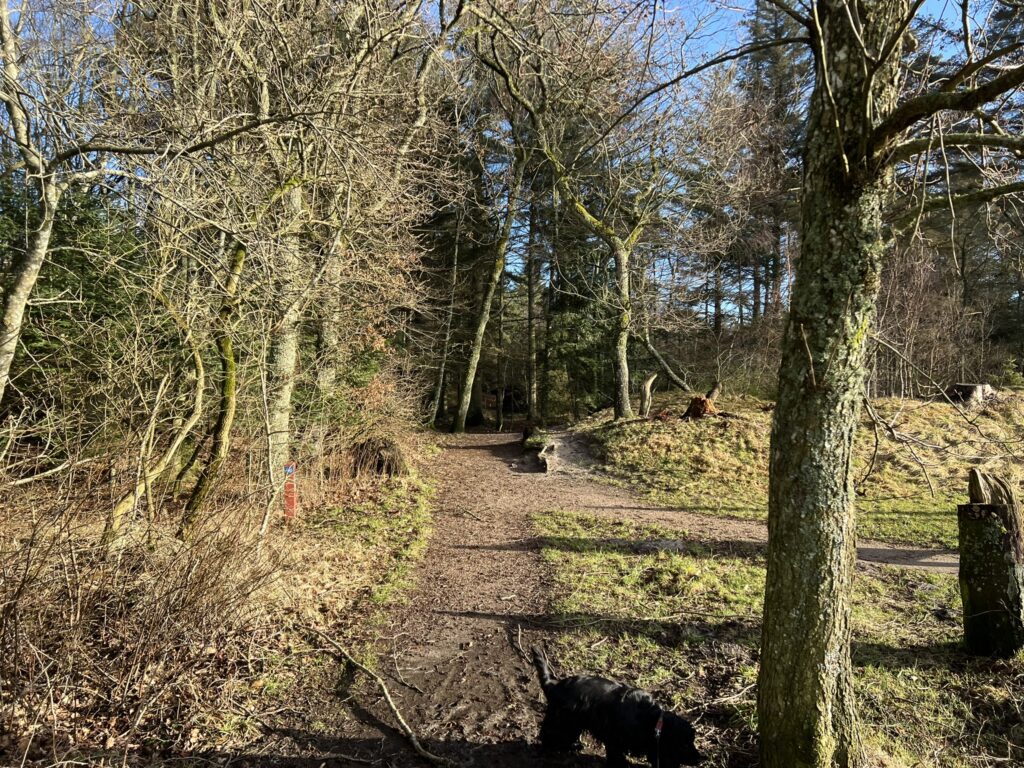
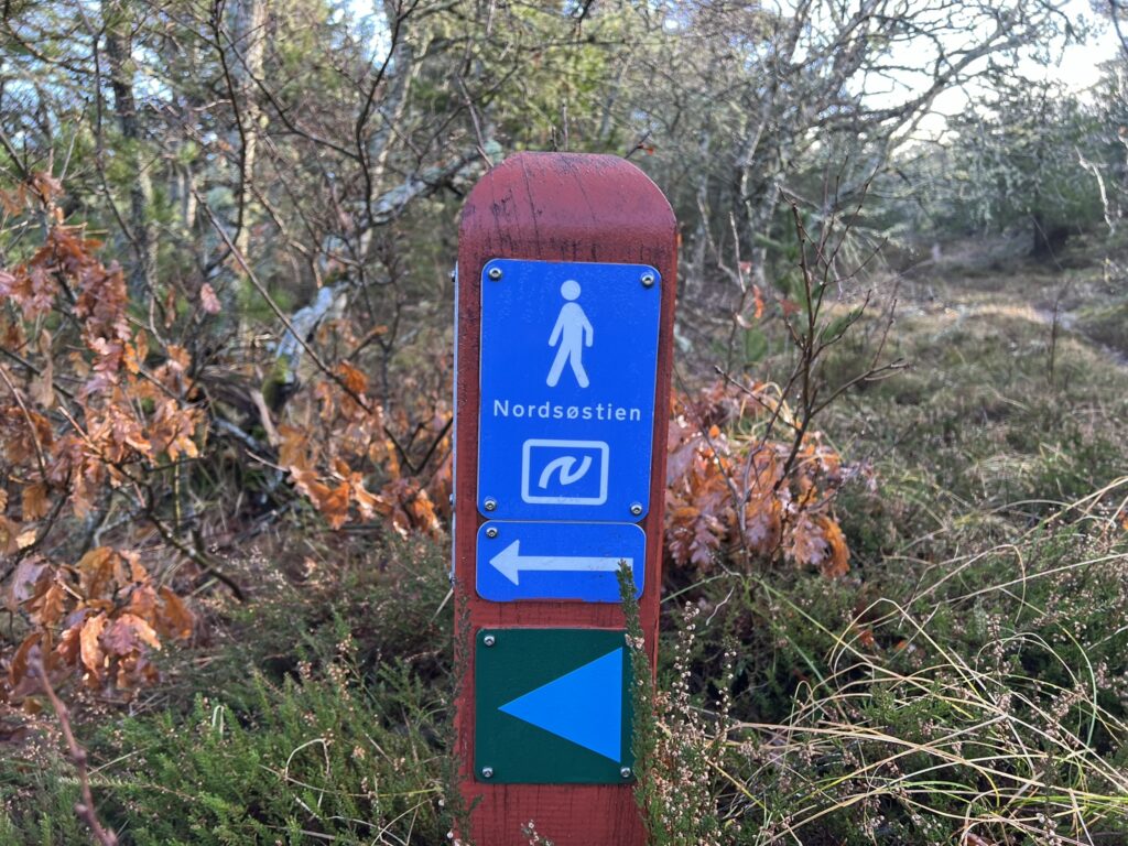
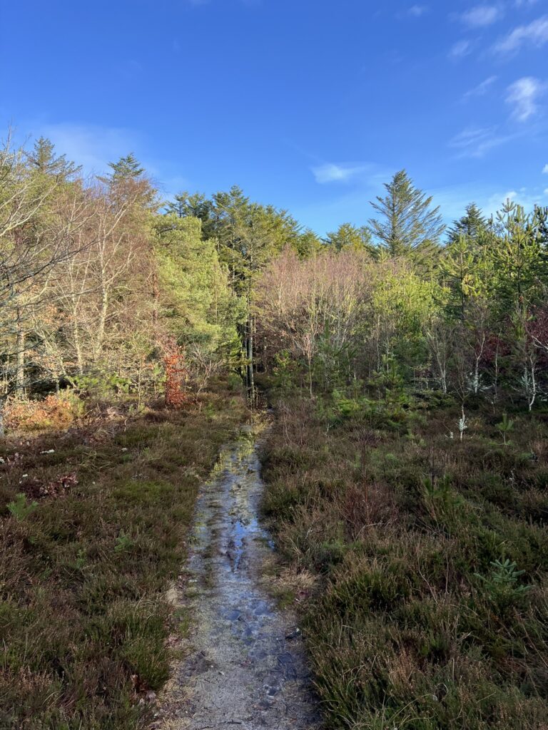
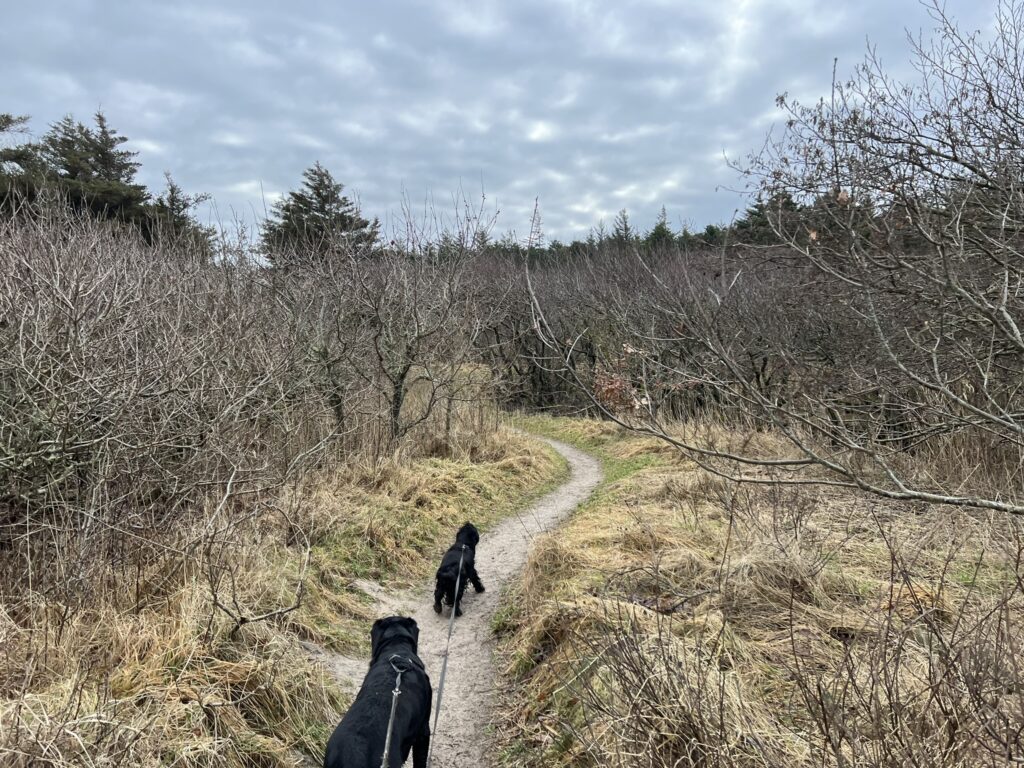
We go approx. 1/4 around, after which we go to the right along a small path. We are on our way through the plantation to Østerklit Stokmølle. It has been raining a lot recently, so the path is very wet in several places, and we have to jump from tuft to tuft. We now enter the Nordsøstien. A little further on, we can see that the path is empty of water, so we are forced to turn around and find another way.
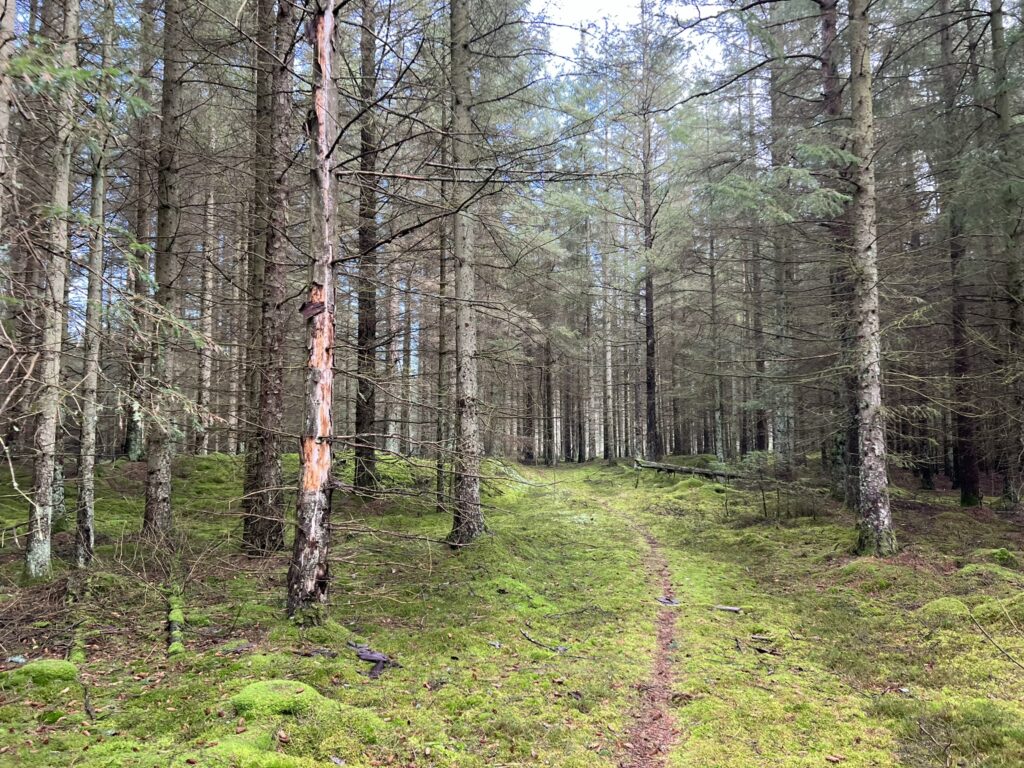
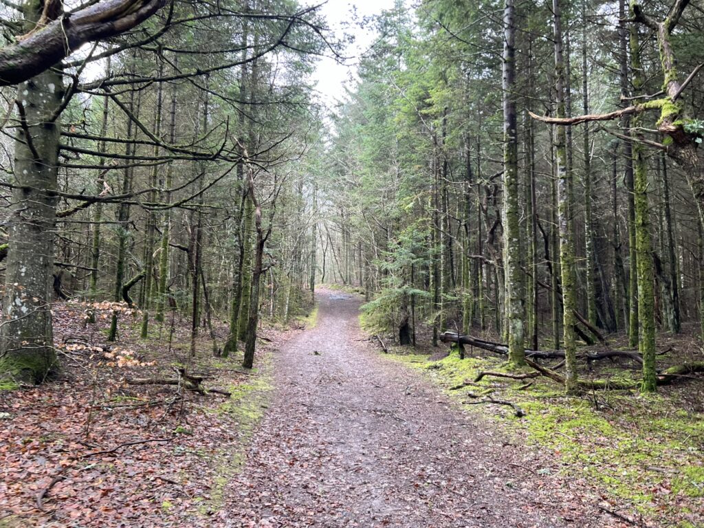
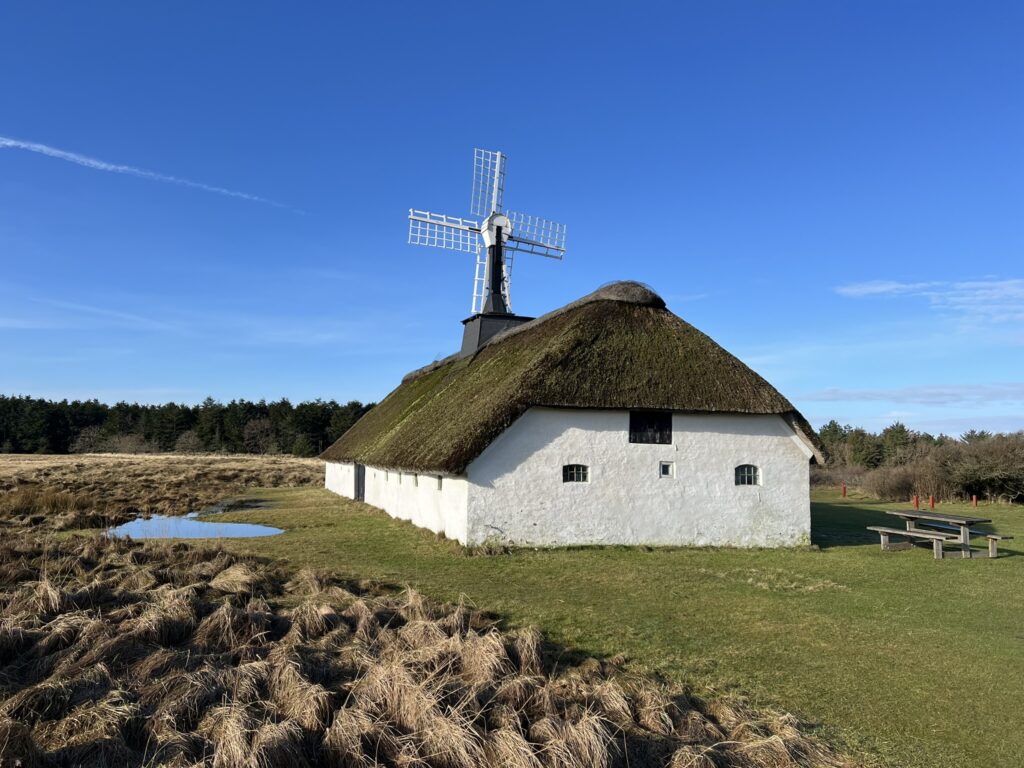
Back at the marker with the Nordsøstien, we can go left and now follow a small path into the plantation. The path continues approx. 200 metres, after which we come to a large forest road, where we turn left. The forest is very varied with both spruce and birch. Where the road splits, we keep to the left and just before a fold, we turn right and walk along the fence over towards Østerklit Stokmølle, which was built in 1912 and is Denmark's last functioning log mill. The farm dates from 1688 and is beautifully situated on the heath with the sun beautifully reflected in the whitewashed wall.
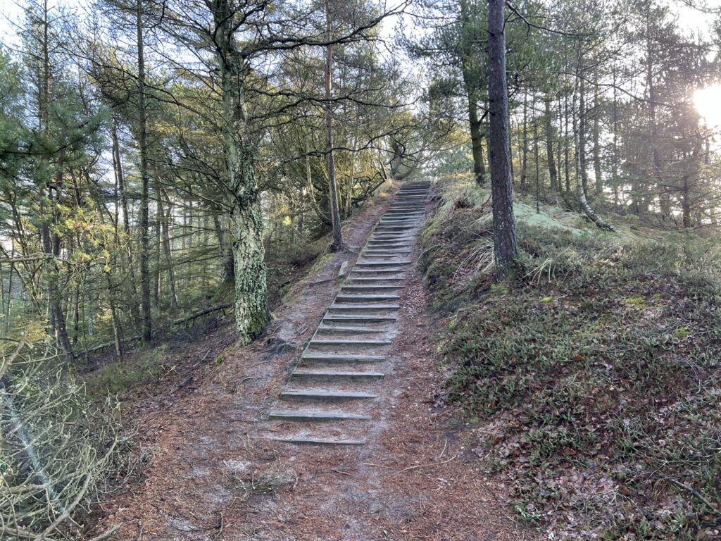
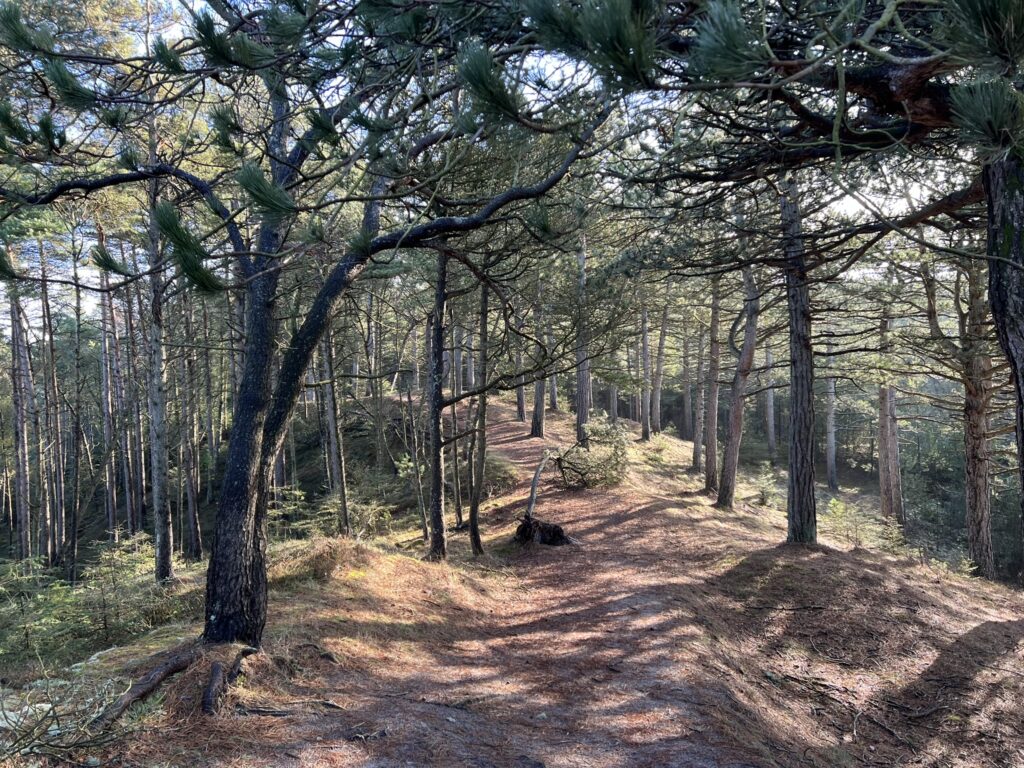
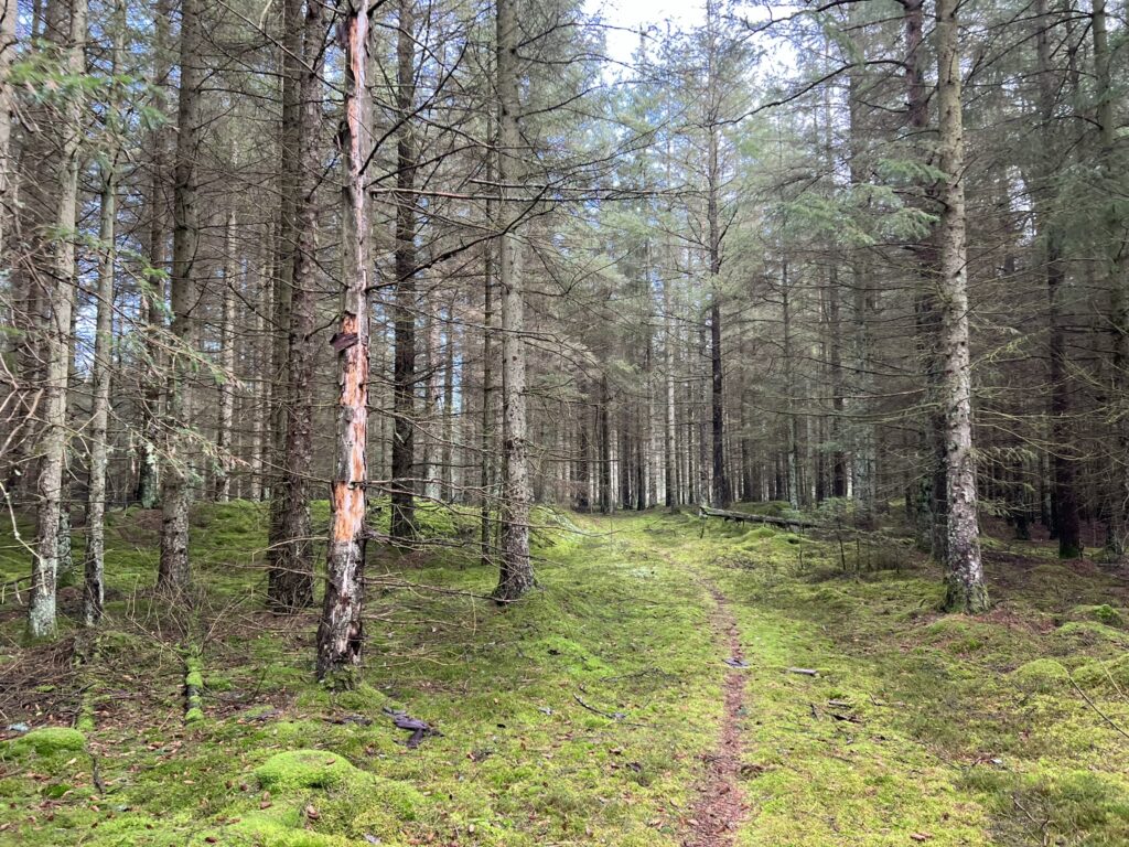
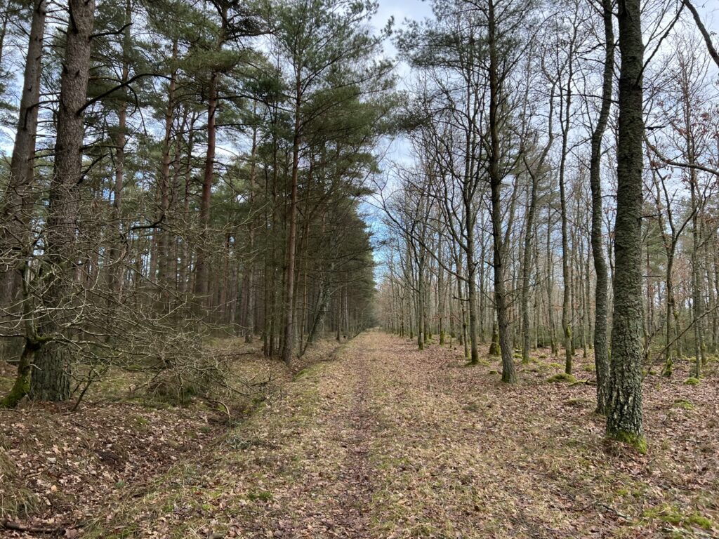
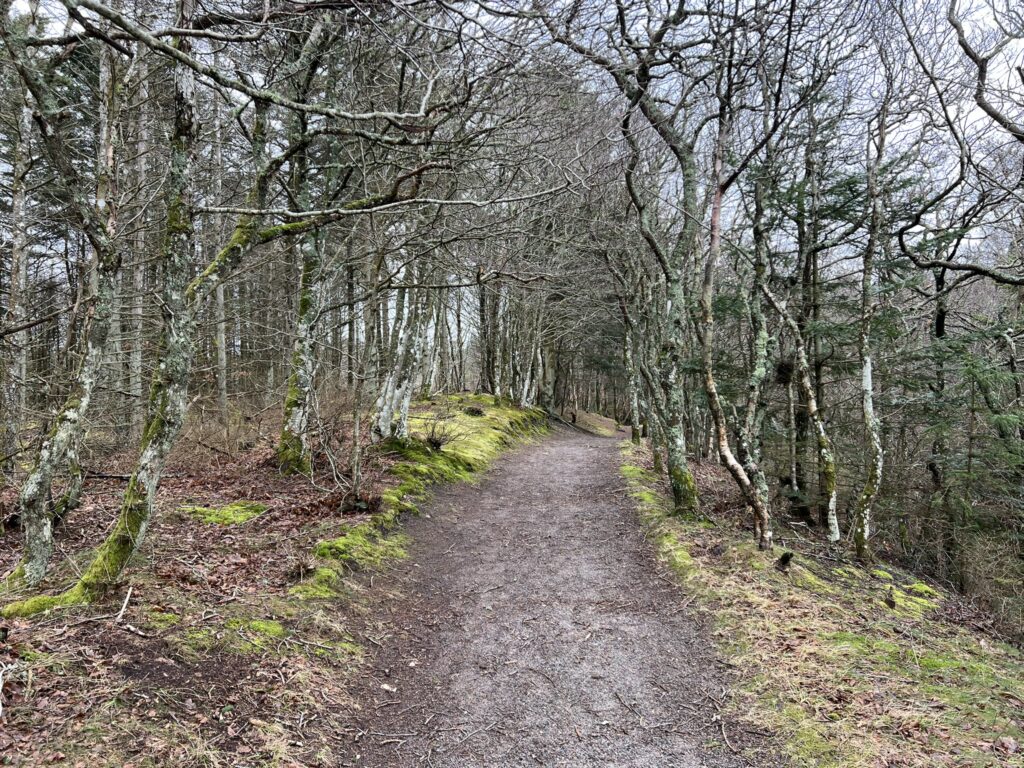
There are tables and benches for a lunch, but we have just started, so we continue around the farm and towards the forest again. Just before we round 2 km. we go to the left onto a beautiful forest path. We are now on our way to the Ravklit view. The trip takes us up into the terrain, and we actually get to walk on a ridge, where there is a beautiful view down to both sides. It is fantastic that even on the flat heath you can find clear traces of the Ice Age and its tremendous forces.
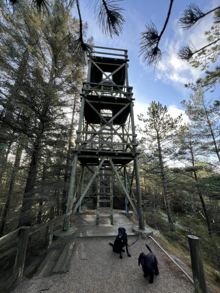
Of course, we have to take a trip up the observation tower to check out the view. There is basically nothing else to see, the top of the forest all around, and then of course the North Sea on the horizon. Once down again and further along the path, we choose a path to the right, which leads us along some small paths back onto the larger forest road.
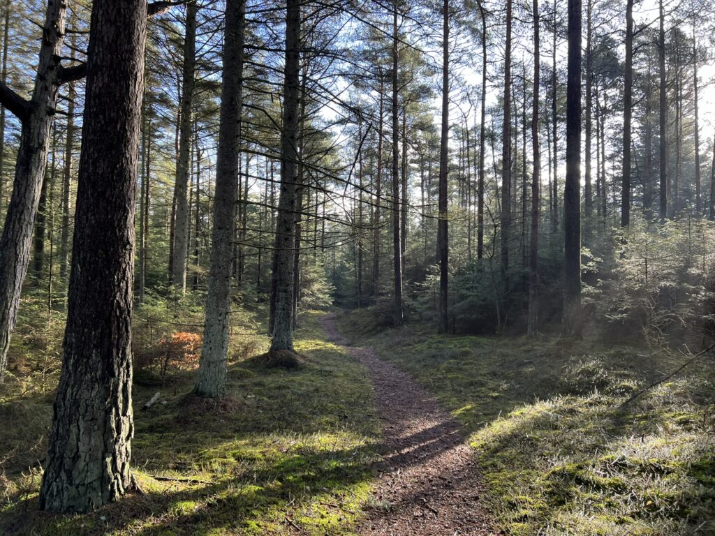
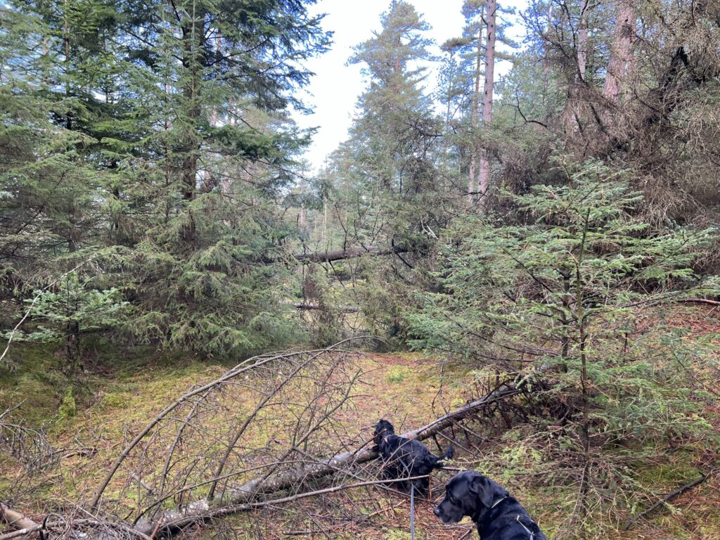
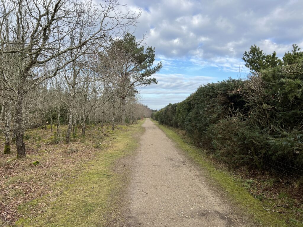
Out on the forest road we go left, and when we come to a larger forest road we turn left again. The forest road is perfect to walk on, and the sun warms nicely. We are constantly followed by the smell of freshly cut timber. It is remarkable to see how much green there is despite the season. After about 4 km. will come to a transverse forest road, which we cross straight over, to re-enter a forest path, which is interrupted in many places by fallen trees.
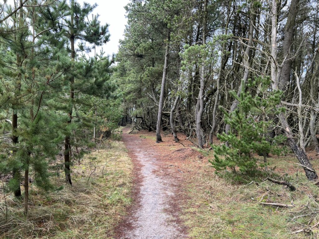
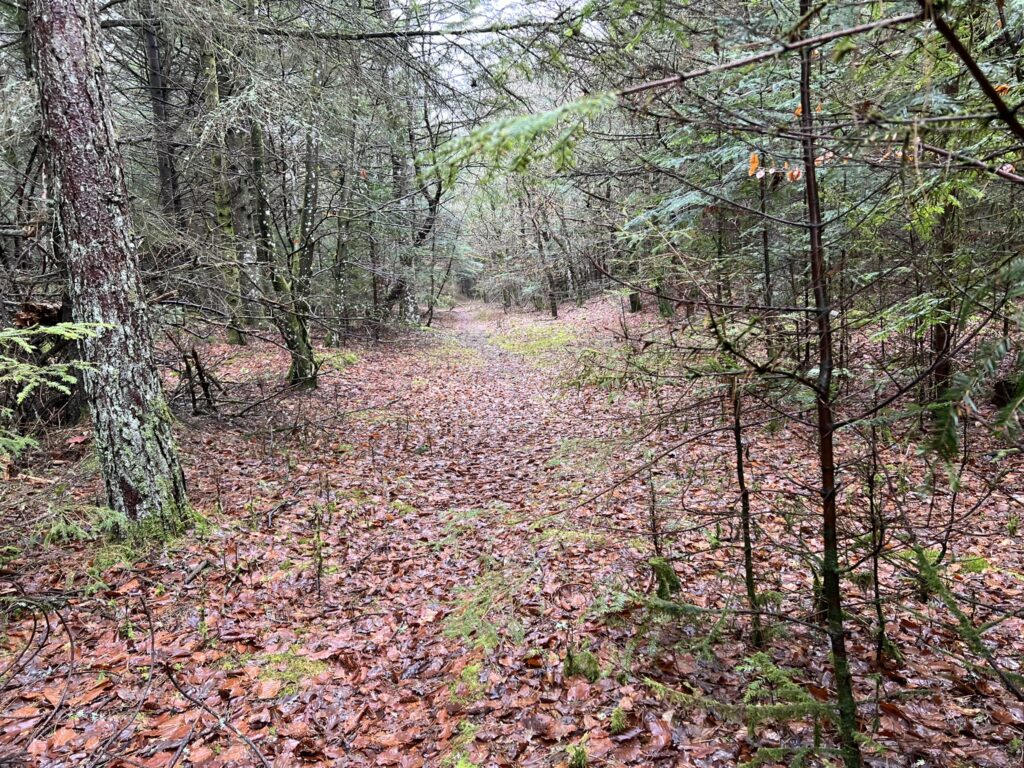
At the end of this small, beautiful path, we come out to a larger forest road, where we turn right. Just before we reach a transverse forest road, we turn left and walk parallel to the larger forest road on a smaller path. At the end of the path we go to the right and immediately afterwards to the left again. We are now walking along Skiveren Camping, and are on our way out to the North Sea.
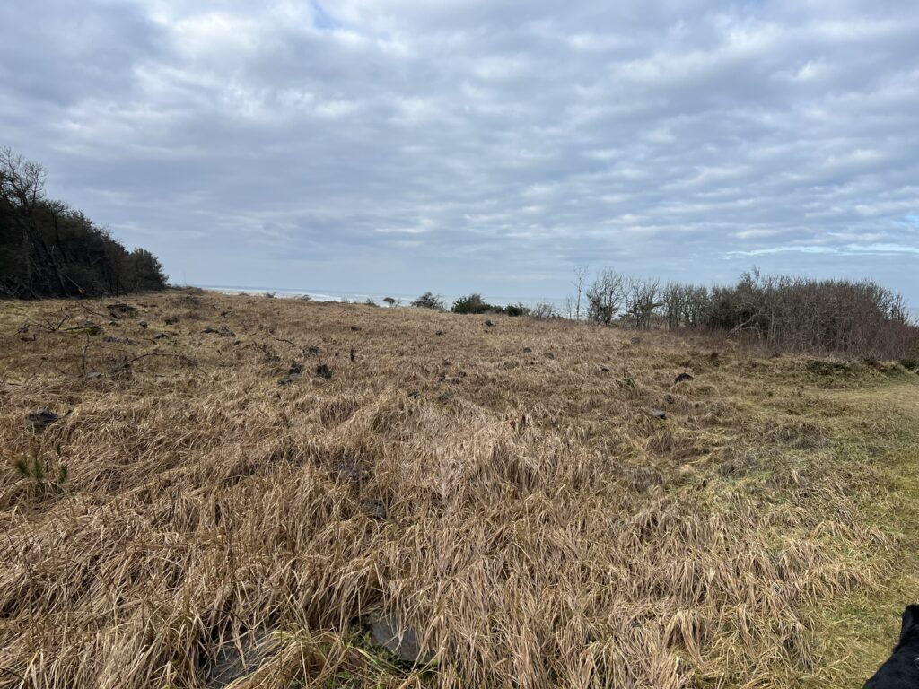
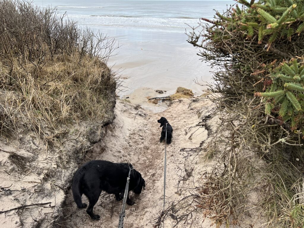
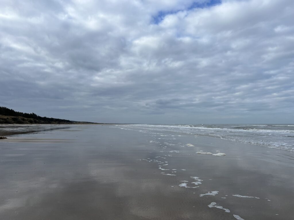
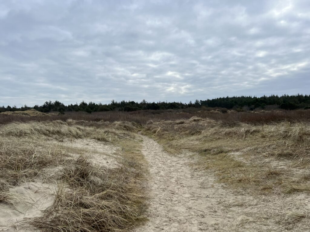
Just before we get all the way to the water, the surface changes from earth and gravel to sand, and then we come out to an open stretch of grass. When we look back towards the edge of the forest, we can really see how violent the weather can be on the west coast. The edge of the forest is characterized by many fallen trees. The last stretch down towards the beach is good for the dogs, as they can smell the sea and know that it is about to wash. The North Sea shows its rare side, as there are almost no waves, and we cannot hear the so characteristic roar either.
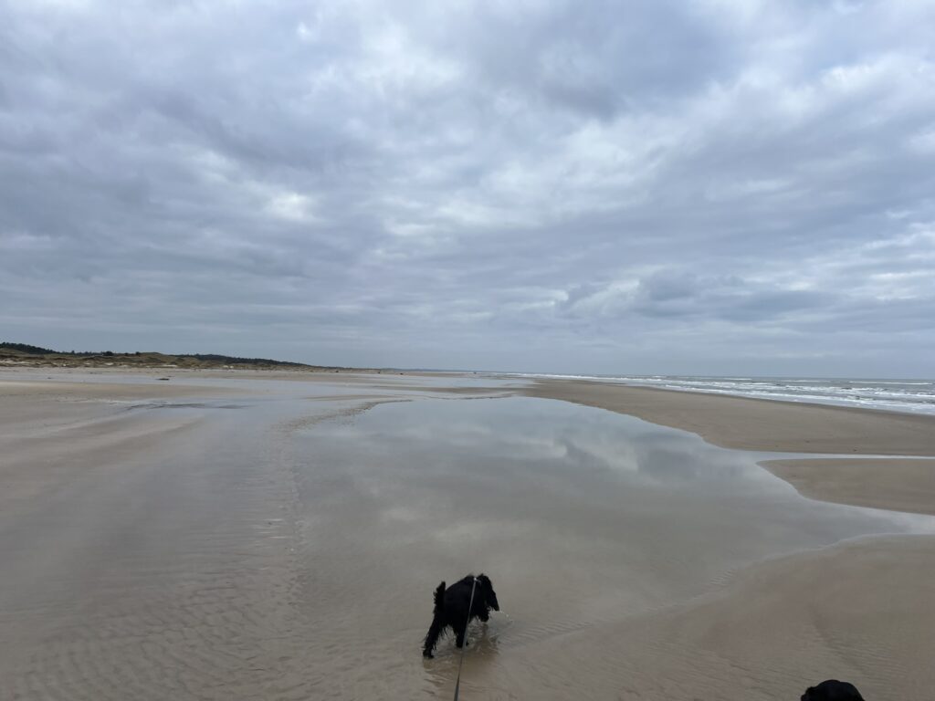
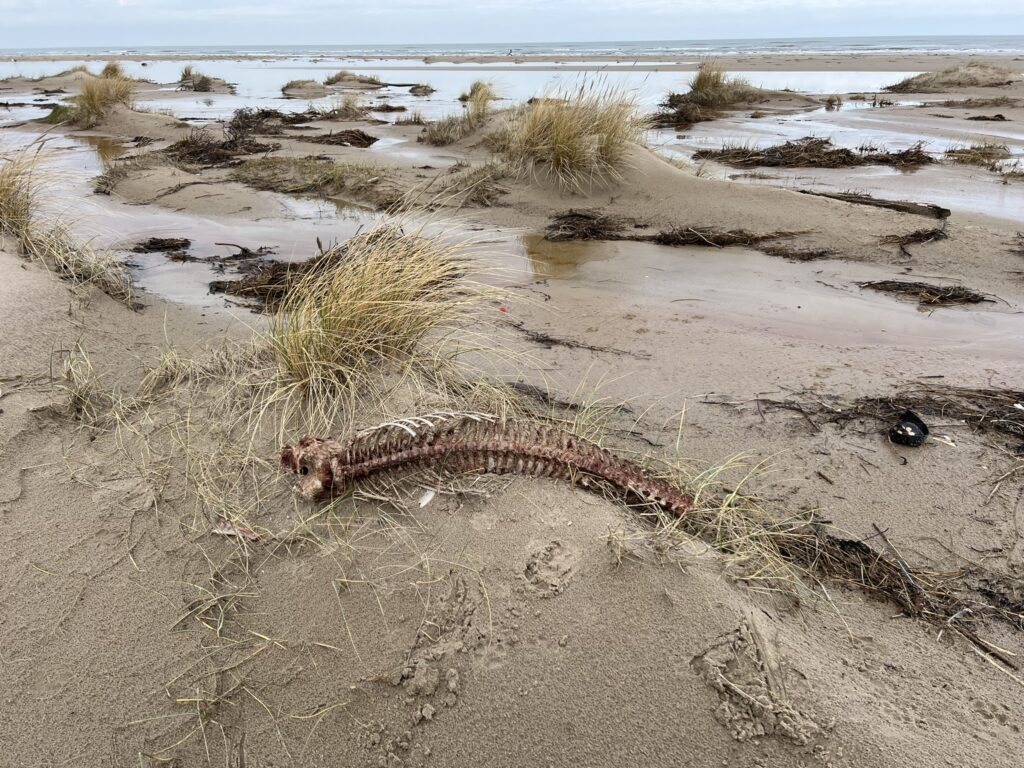
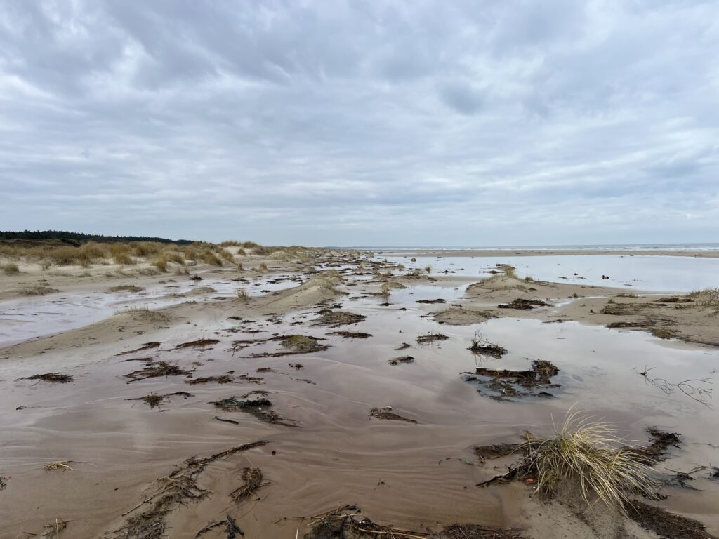
The next 2 kilometers take place along the beach with the dunes on one side and Tannis Bay on the other. It is clear to see on the slopes that we have had some violent storms, because there are many places where the slopes have collapsed. We walk both down by the water and up close to the dunes to see if a small piece of amber could be found, but it looks like there have been some before us, so we're out of luck. In return, we find a seal skeleton and enjoy the beautiful formations that the sea and wind have made in the dunes.
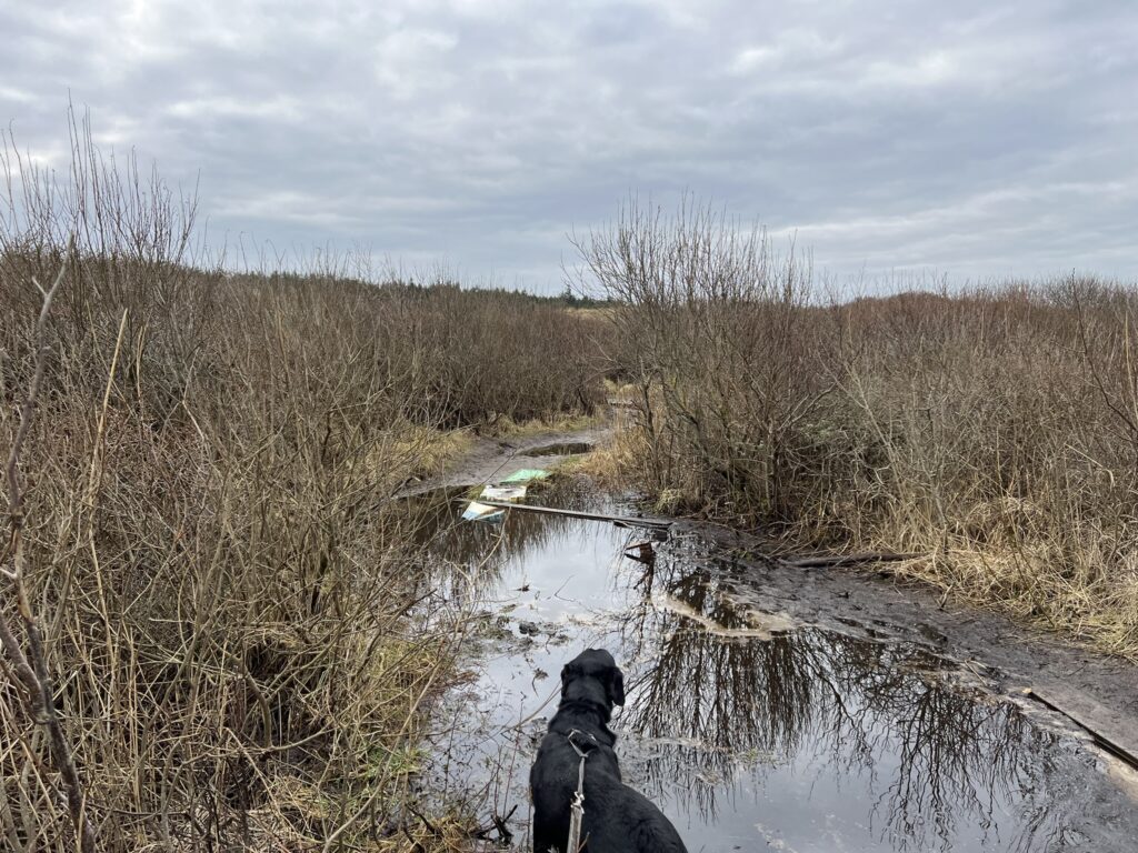
After almost 9.5 kilometres, a path goes in to the left and we are now back up to Tversted Søerne. The first stretch from the beach up towards the lakes is quite damp, but some before us have used materials at hand to make some intermediate walkways that we can balance on to avoid getting completely soaked feet, and after a bit of balancing comes we above the wet area.
We pass the lakes in a beautiful area, and come up to the bottom of the large lake that we met first on the trip. Here we turn sharply to the right and follow another beautiful forest path around and come back down to the nature playground, where our car stops.
The hike is roughly 10 kilometres long.
Click on the map below and it will open in Google Maps. From here, you can follow the route as you are hiking.
