
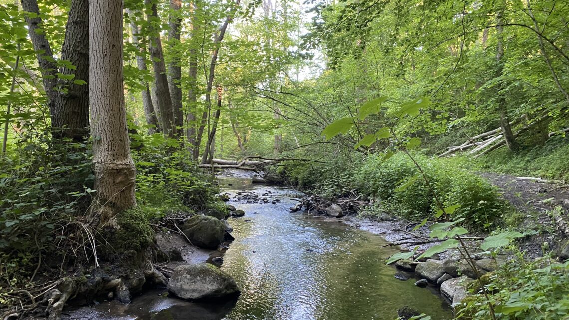
Vejstrup River Valley, Svendborg. 13 km.
The small town of Vejstrup is located in the southeastern part of Funen. It is the kind of town one drives through to get from one place to another, but we highly recommend stopping to take this walk before continuing on your journey. The route involves a hike of nearly 4 kilometers through Vejstrup Ådal—one of the many river valleys formed during the last ice age.
We’ve set our alarm clocks for very early, because when the hike takes place in the southeastern part of Funen, there’s a good chance of catching a sunrise. We’ve set our GPS for Vejstrup Valgmenighedskirke (Vejstrup Independent Congregation Church) at Brudagervej 2, 5882 Vejstrup, where there is ample parking (and a restroom).
From the car park, we walk out to the main road, where we turn right and immediately left onto Højskolevej, following it until it joins Hovvej. Already at this point, we can see the sun on the horizon, struggling to rise above the morning mist.


We turn left onto Hovvej and immediately right again onto Elsehovedvej. The road curves to the right and shortly after to the left, leading through a forest; at the edge of the forest, we are treated to a magnificent view of the water and across to Langeland. We follow Elsehovedvej to the left, walking with the water on our right and facing directly towards the sunrise.


Elsehovedvej runs behind a holiday home area, and shortly after passing it, we turn right onto a small path that leads us down to the water. After about 4.5 kilometers, we reach the beautiful beach, which we have entirely to ourselves at 4:40 a.m. What a wonderful experience—and the perfect spot to enjoy the first cup of coffee of the day.


After an almost meditative coffee break, we head left along the beach, passing the beautifully situated holiday homes, and arrive at Elsehoved Lighthouse—an 8-meter-tall directional light built in 1894. We continue along the beach, though a word of warning is in order: at high tide, there is little beach to walk on, forcing you to scramble over the stones, which can be challenging. Yet, we are once again rewarded with truly stunning views as we round the small headlands and look out over the water.


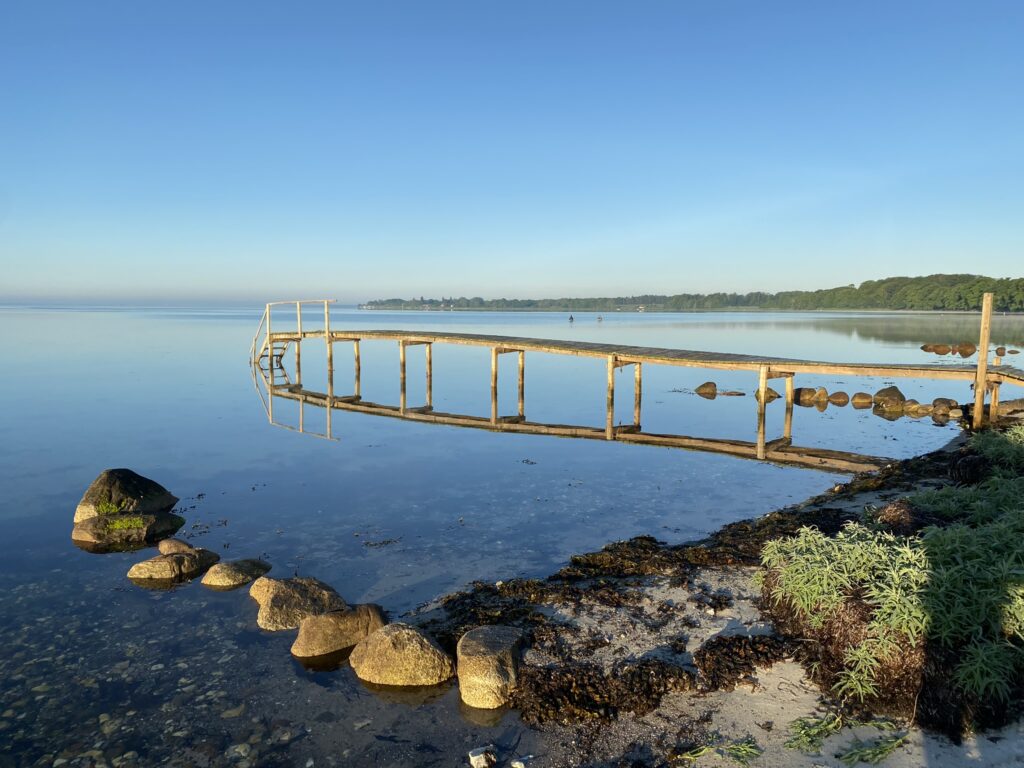
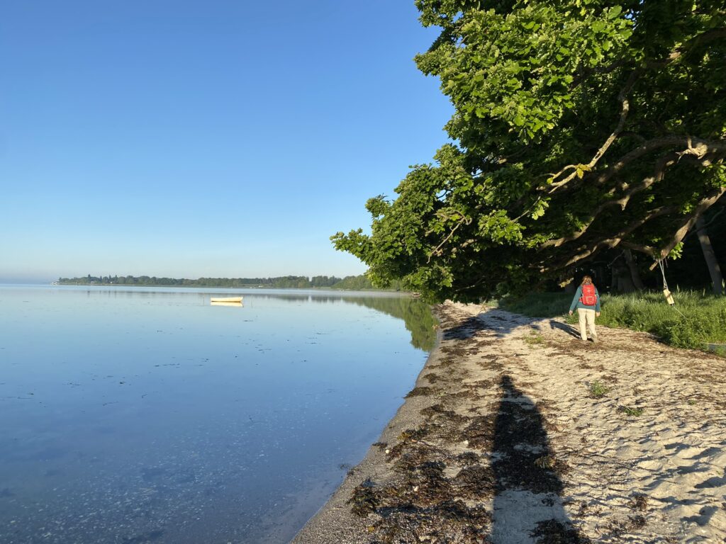
After the open stretch, we reach the woods we came from. There is a picnic table here, should you need one. We continue along the beach, where in some places the trees overhang the water, forcing us to weave underneath them to move forward. At one point, we pass a gap in the trees where we can look in towards Tiselholt, which is an old Danish manor house from 1876. On the road, a large red deer stands looking curiously at us—as if wondering, “Who is disturbing things on this beautiful morning?” After a hike of about 7 km, the forest ends, and we turn right onto Strandvejen, which we follow along the water.


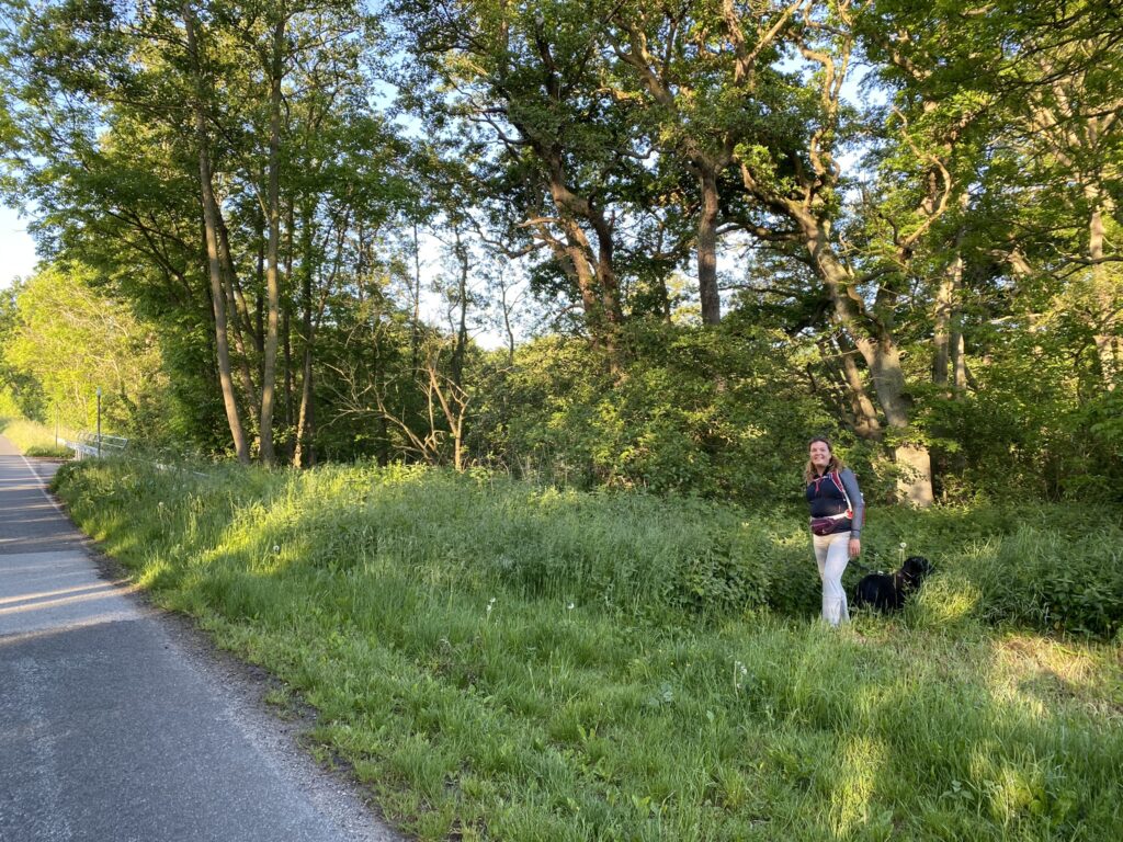
We follow the coastal road for about 400 meters until we reach a small wood. Here, we turn right onto a faint footpath that is almost impossible to spot. If you cross a bridge over the stream, you have gone too far. The first 500 meters or so follow a path that, in places, looks more like an animal trail. (However, we spoke to a local who confirmed that this is indeed the right way into the river valley). Since it is early morning, there is quite a lot of dew on the grass and nettles, so long trousers are a must.


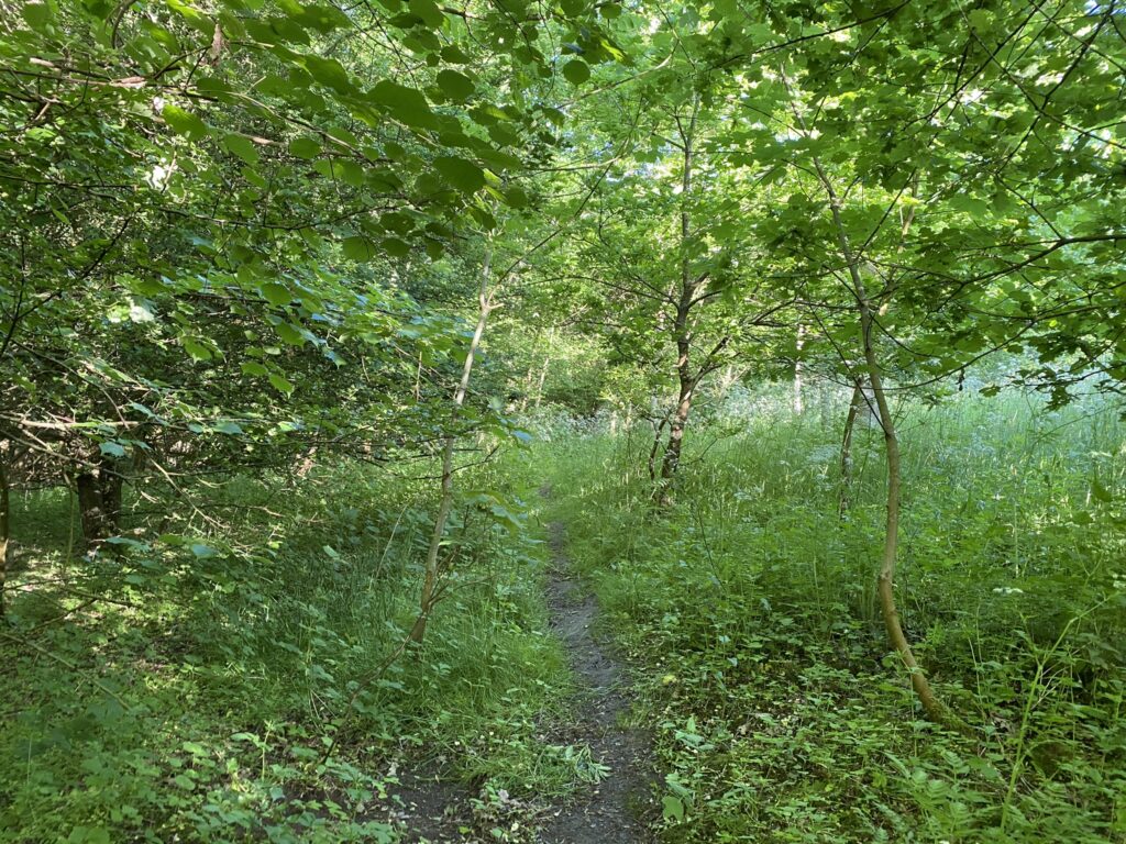
The footpath now transitions into a proper trail, bringing us close to the water flowing through the river valley. The valley was formed during the last ice age, approximately 15,000 years ago, when the massive ice sheet—up to a kilometer thick—began to melt; the meltwater flowed beneath the ice, carving out the valley. It stretches for about four kilometers, with slopes rising up to 30 meters on either side in places. The valley’s width varies, ranging from 30 meters to as much as 100 meters. A profound sense of tranquility pervades the entire valley; free from the sound of traffic, we can instead listen to the many birds or simply enjoy the gentle murmur of the stream.


The path winds and meanders through the river valley; one moment we are walking right down by the water, and the next we are led high up the slope, away from the water. At times, the path can be quite wet, so it is wise to wear footwear that can withstand water and mud. In several places, fallen trees have blocked the path; sections have simply been sawn out to allow us to pass, leaving the remains of the trees lying on either side. Conditions are excellent for biodiversity, and there are also many butterflies in the valley.


After just over 11 kilometers, we emerge from Ådalen onto Nyborgvej; we cross the road and turn right onto the cycle path. We turn left onto Vejstrupgårds Allé, which we follow all the way down to the stable buildings at Vejstrupgaard, where we turn right and follow the beautiful farm track, enjoying views on both sides. At the end of the track, we turn left and follow Egemosevej to Brudagervej, where we turn right and return to our starting point.


The hike is one of the most beautiful we have taken so far and is definitely worthy of being our 2nd anniversary hike.
The route is just under 13 kilometers long.
Click on the map below and it will open in Google Maps. From here, you can follow the route as you are hiking.
