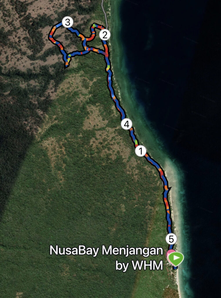
West Bali National Park – 5 km.
Hiking in West Bali National Park is not quite the same as hiking in Denmark or Europe for that matter. Firstly, we must ALWAYS be accompanied by a guide from the national park, and secondly, we cannot completely compare distance and time. Our short 5.25 kilometer hike took us a good 2.5 hours and was enjoyed in +28 degrees.
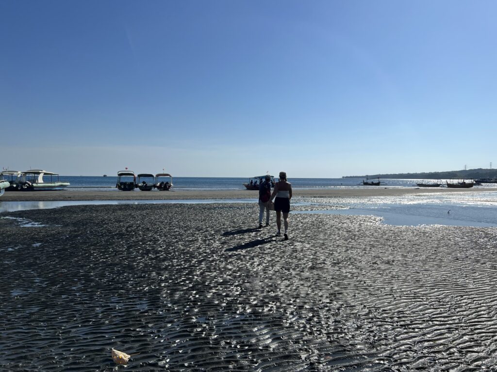
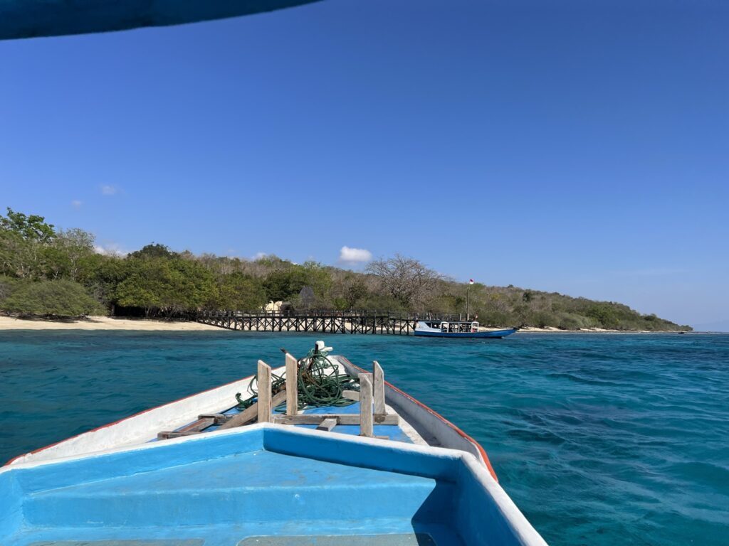
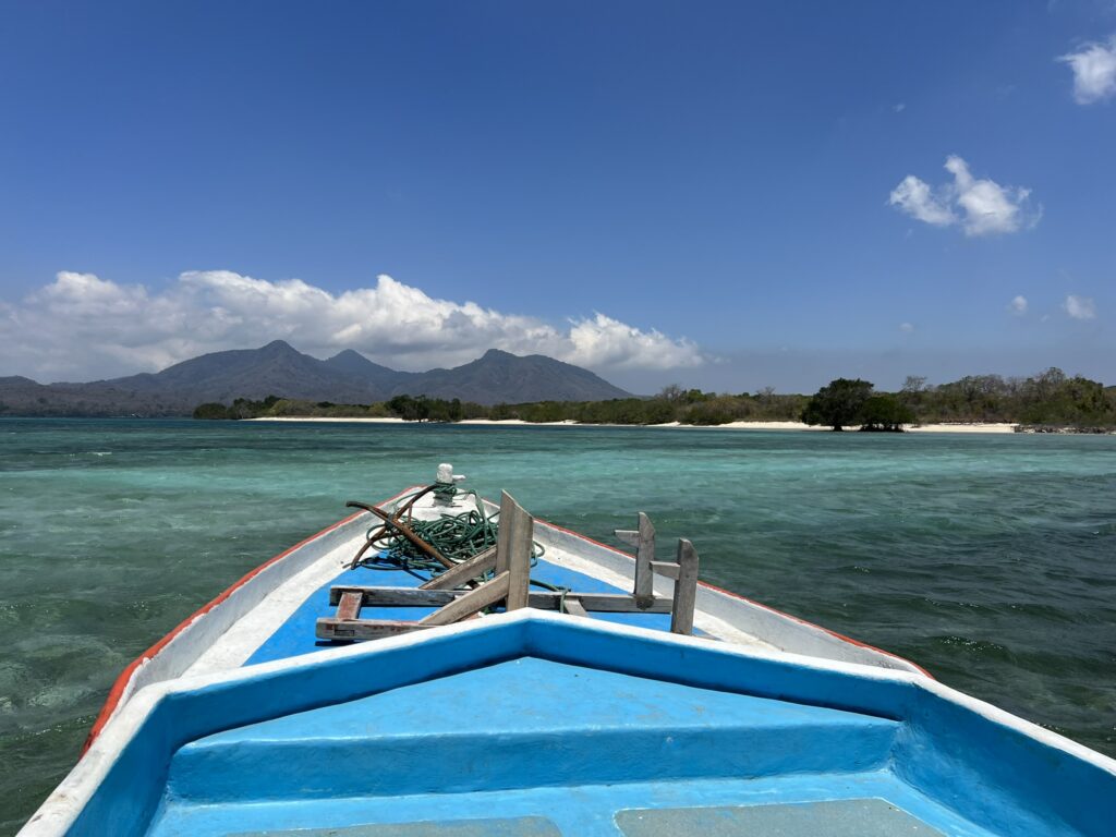
We have in cooperation with our hotel Plataran Menjangan – which, incidentally, is located inside the national park – and the hotel manager Mr. Dharma arranged a very special trip, which has never been attempted hiking before. We start out from the hotel at 9 AM in the morning with our guide Surana and drive for 15 minutes with our guide Surana, to a "harbor" where there are a lot of fishing boats and boats for transporting guests. The special thing about this port is that all the boats are laying on the beach. In order for us to get on the boat, it requires half of the villagers to push our boat out, where there is enough water under the keel for us to sail. This also means that we must take off hiking shoes and socks, and walk in water to the shins. From here, the tour goes across the water towards a small jetty on the east side of the national park. Along the way, we sail close to the fine coral reefs, and it is a pleasure to experience how our "captain" deftly sails around to protect the corals and the fragile ecosystem. After a good 10 minutes of sailing, we arrive at our starting point for today's hike.
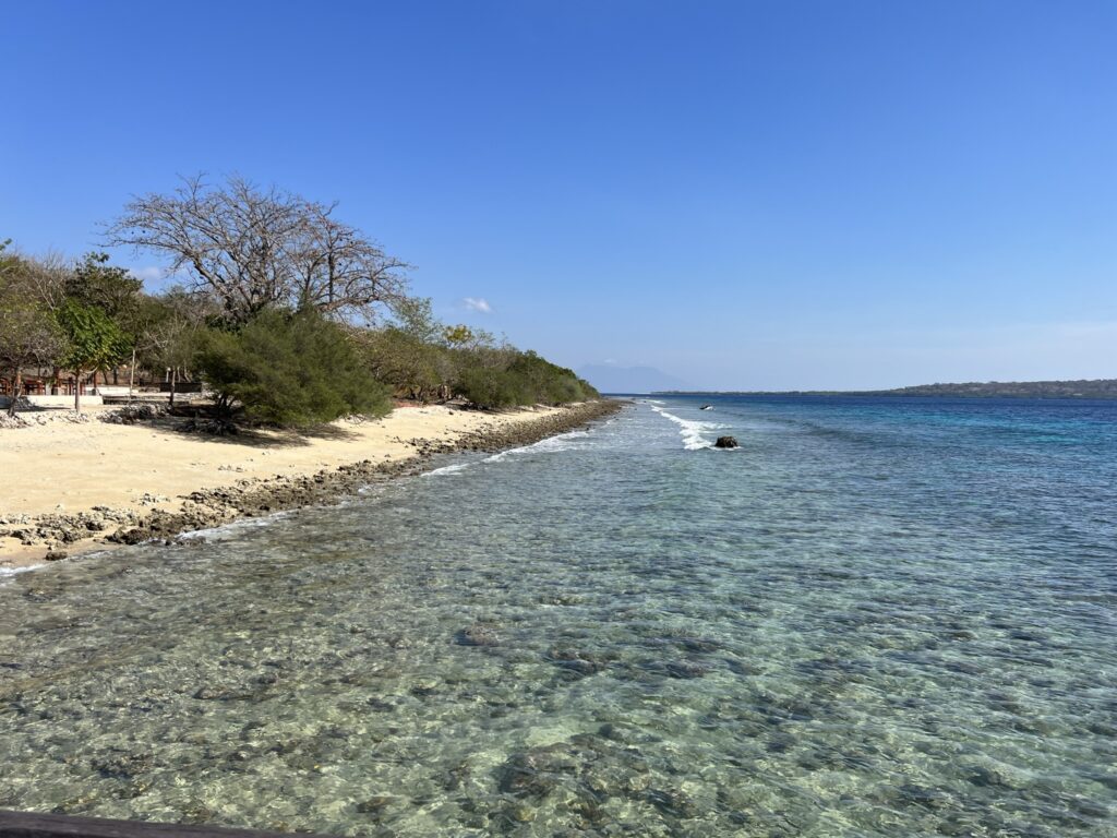
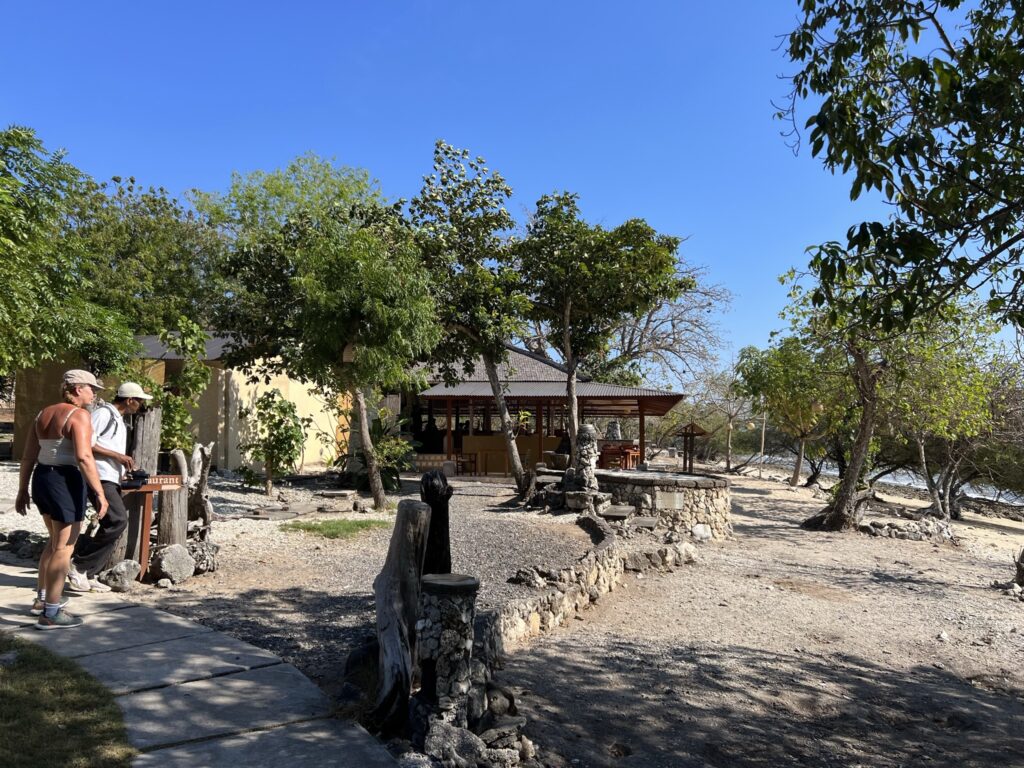
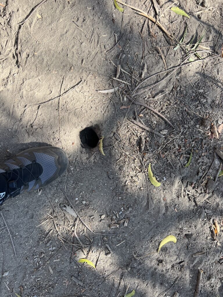
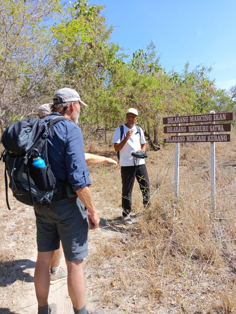
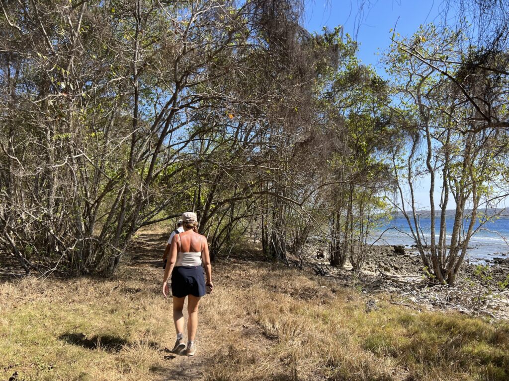
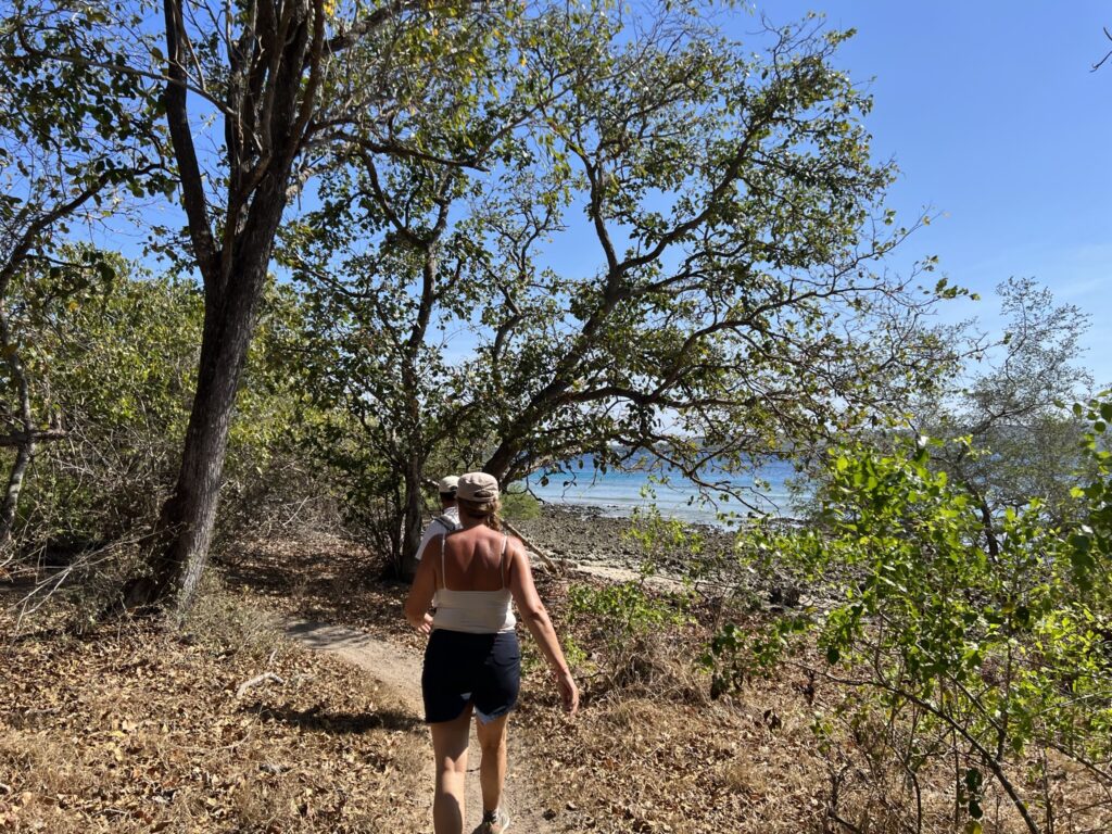
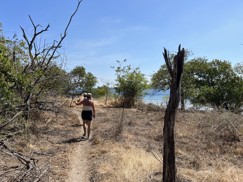
At the jetty we are met by our local guide Putu, who is not a ranger, but who has more than 20 years of experience as a guide in the national park, and therefore must be said to be the right man for our small off-road adventure. We walk through a small resort, and continue on a path along the beach, and quite quickly come to a sign where Putu tells us that it is forbidden to fish, hunt animals and collect mussels, all of which is part of protecting the environment and ecosystem. Right after that, we see our first black monkey. The black monkeys live only in the national park. The trail is filled with holes of varying sizes and our guide tells us that there are holes made by crabs. The crabs hide in the holes while dry, but leave them again when it gets damp. We also get to see the blue Kingfisher, which we know at home in smaller size under the name kingfisher.
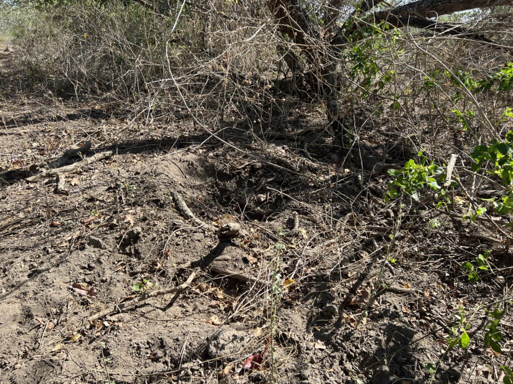
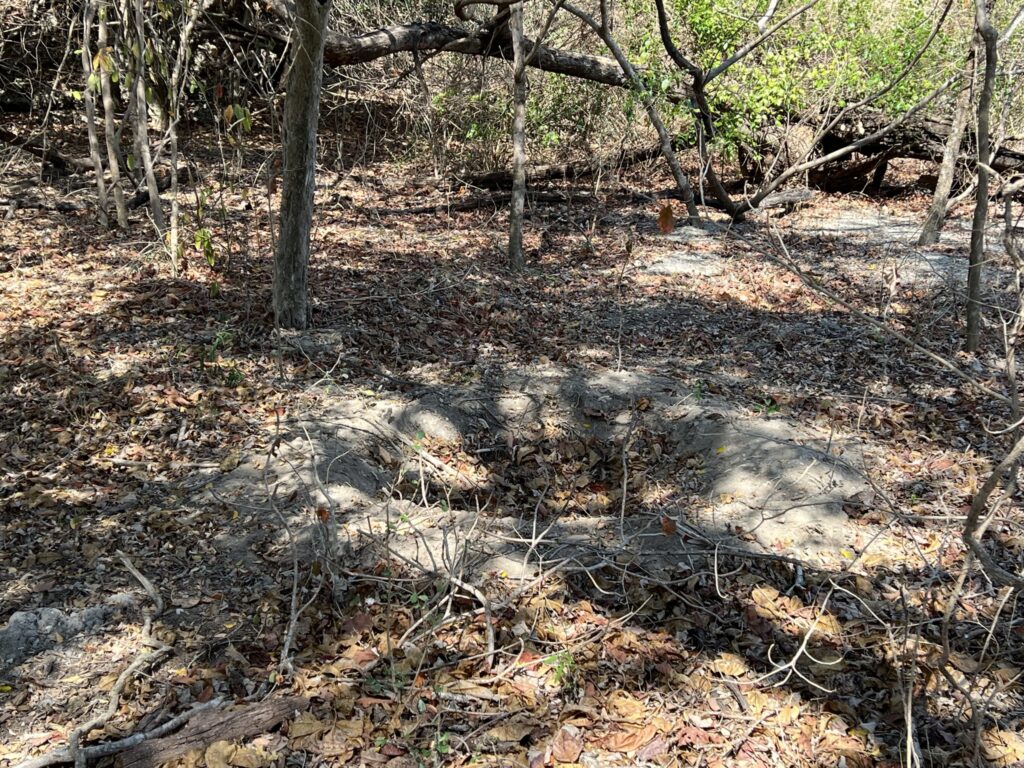
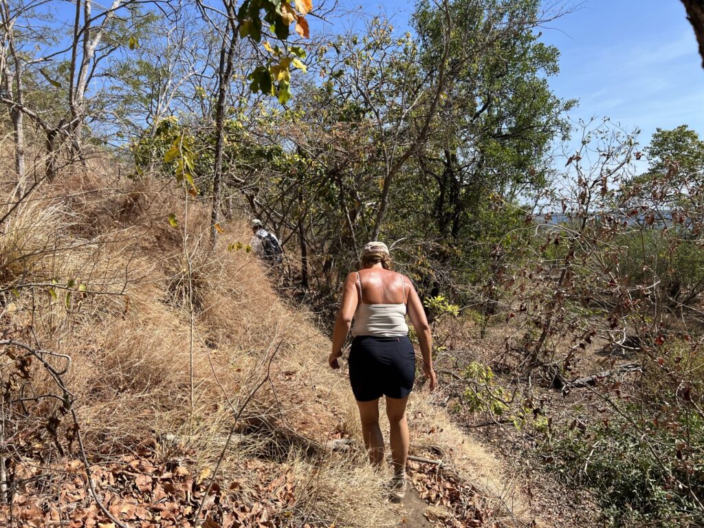
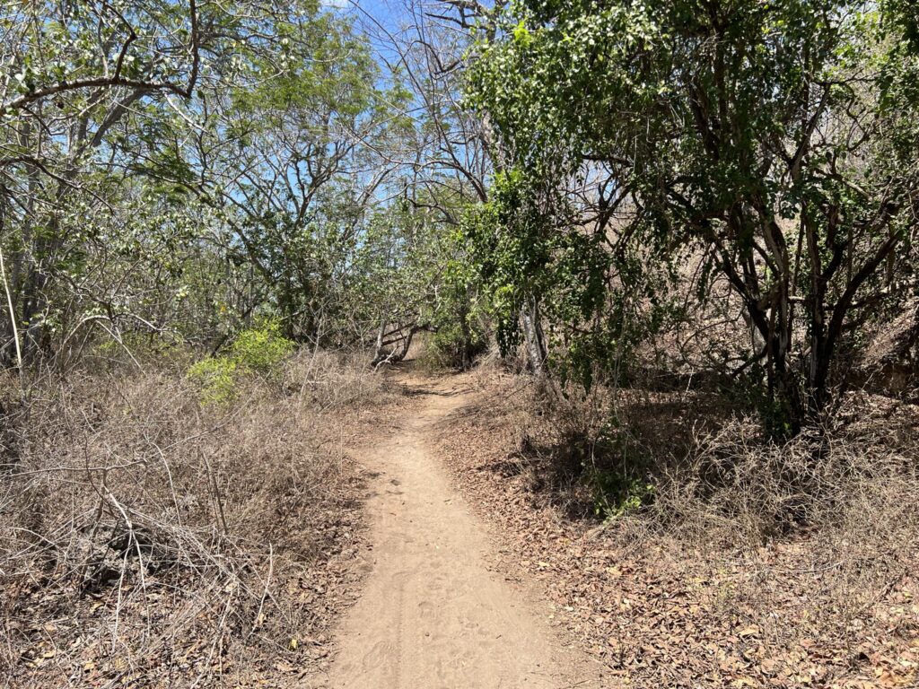
We don't expect to see any crabs on our trip because we go in the absolute driest period of the whole year. The rainy season starts in October, culminates in December to February and decreases again from March. Our guide tells us that after rain arrives, the vegetation along the path is so high that it reaches us overhead, and that he therefore has to keep the path open by keeping the vegetation down – Hard to imagine when everything is sweated off like now. The route is characterized by the fact, that the wild nature is allowed to unfold, and we have to bend over in several places to get under trees that grow wild. We meet several places where the soil is messy through and where there are large holes and exposed roots. It turns out that it is wild boars who, in their search for food, ravage the soil. The wild boar is the only animal in the national park, where the rangers regulate the population. Unfortunately (or fortunately?) we will not meet any wild boars on today's tour.
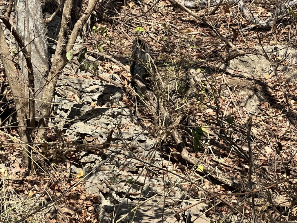
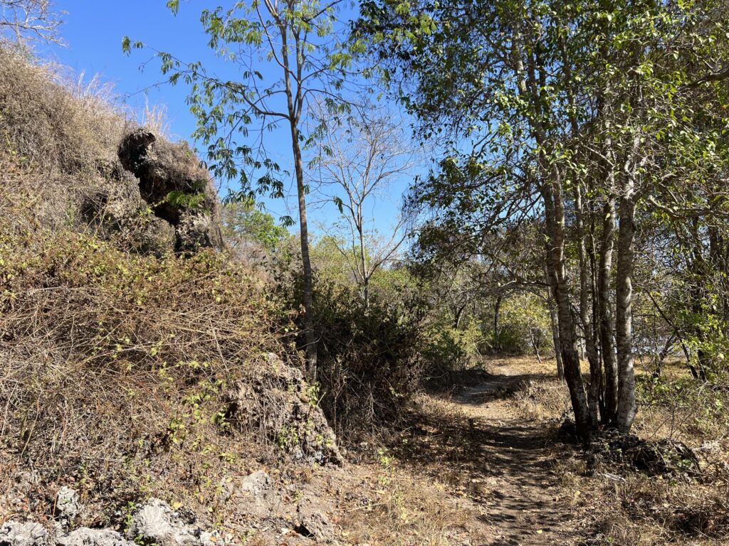
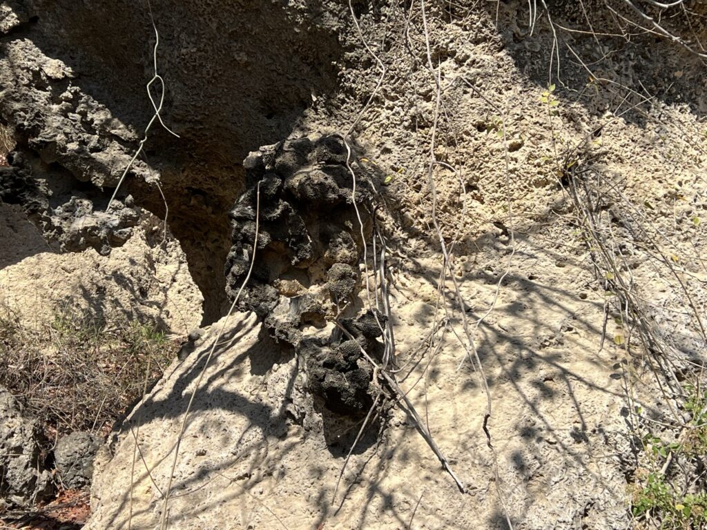
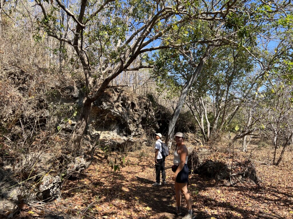
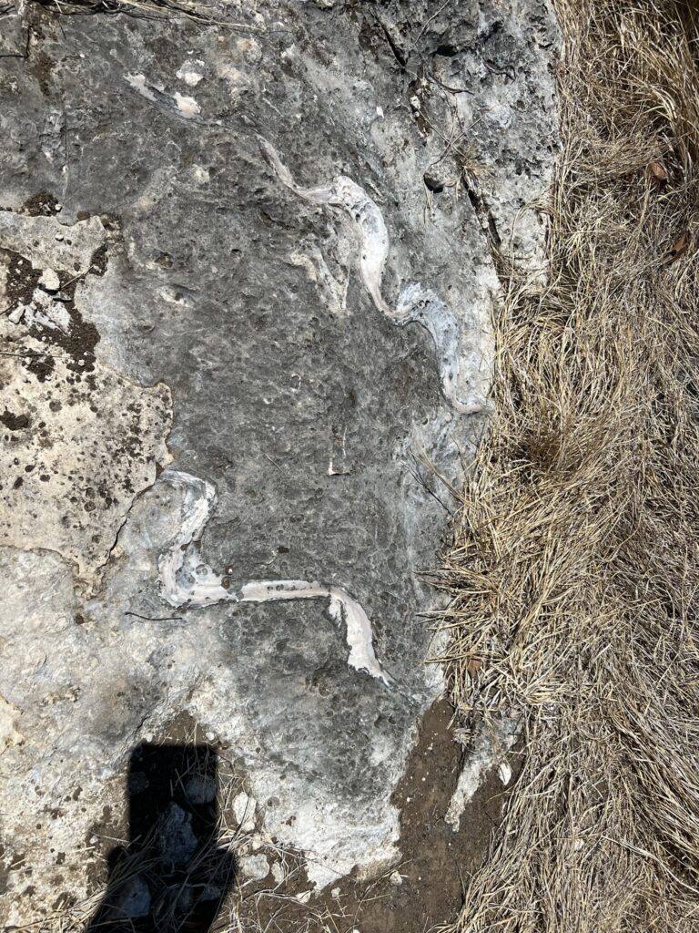
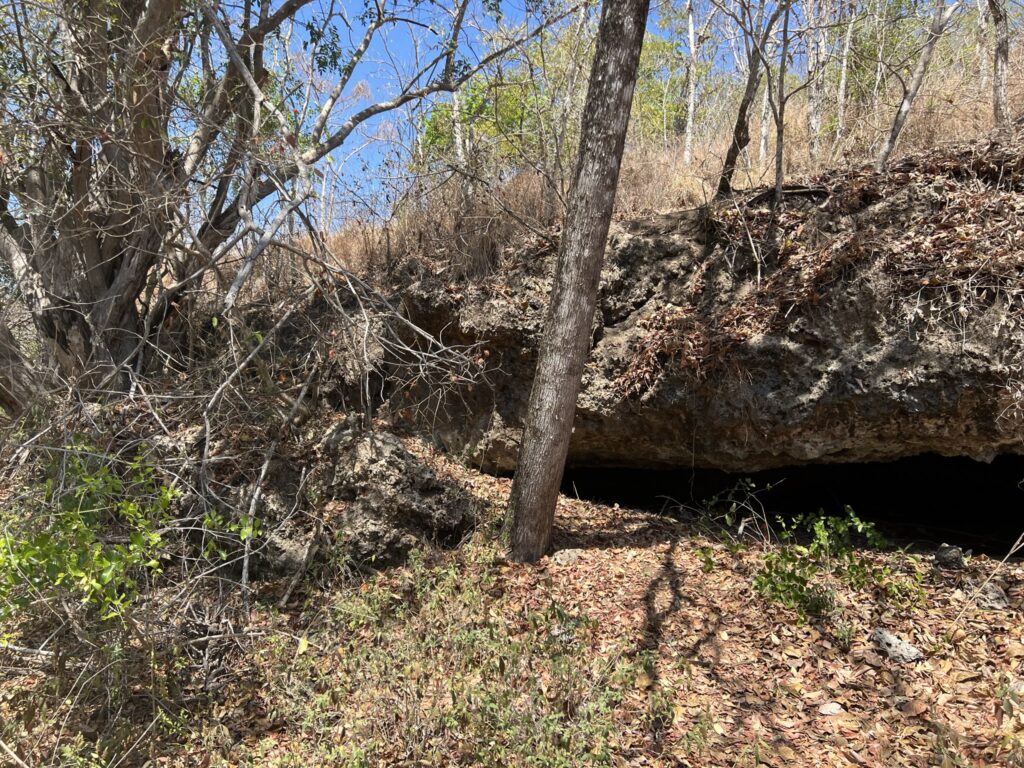
The walk along the coast continues, and we soon come to a place where a large rock rises on our left. Putu says that the rock is ancient coral. The whole of Bali is created more than 300 million years ago by many earthquakes, and that it is therefore ancient seabed that we walk on and that the rocks are made of. It's quite fascinating both to look at and think about.
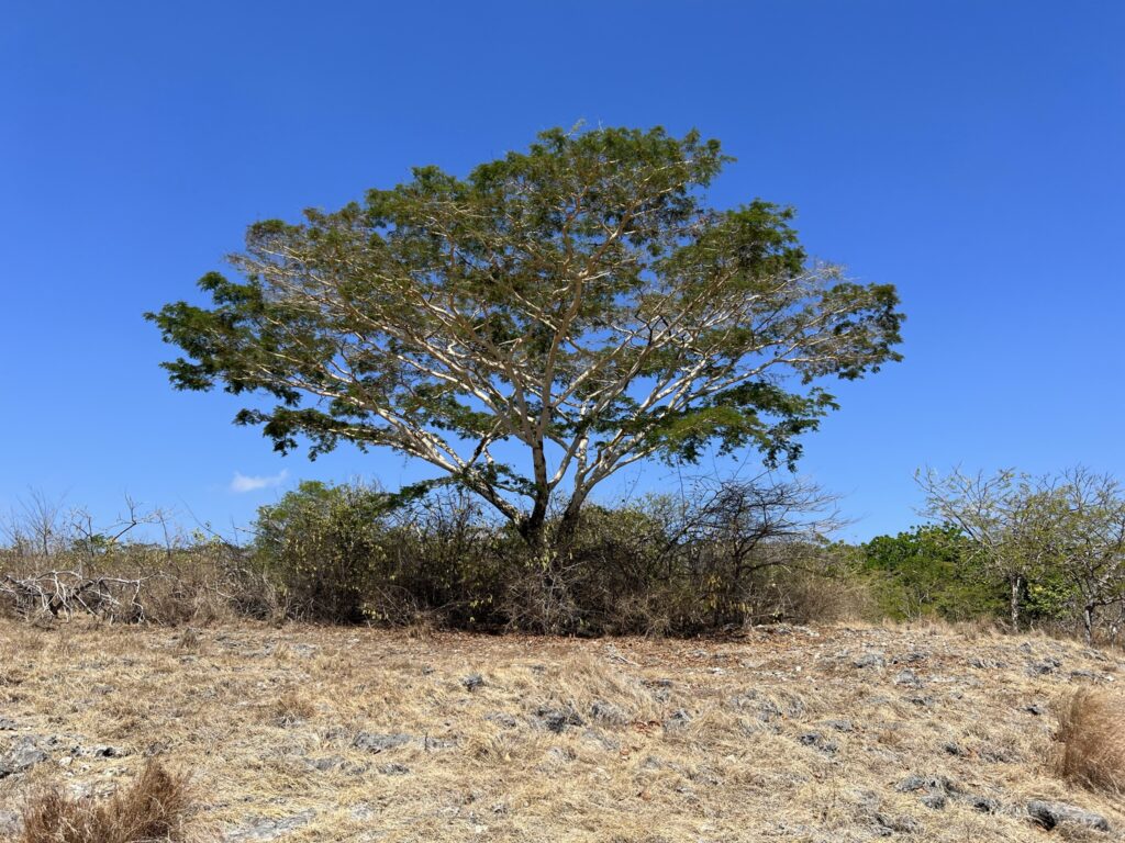
Although dry, there are still trees that have green leaves, and we are told, that in Bali there are evergreen deciduous trees and shrubs. We come to another rock formation (coral formation), where our guide tells us that rangers used to fill clean drinking water in a basin, so that the deer had fresh water to drink. They have stopped doing so again, because the place was plagued by poachers, who came and killed the animals when they came to drink. In some places it looks like the trees are rotten or burned off, but this is because the monkeys eat all the greenery on the trees and the trees therefore die.
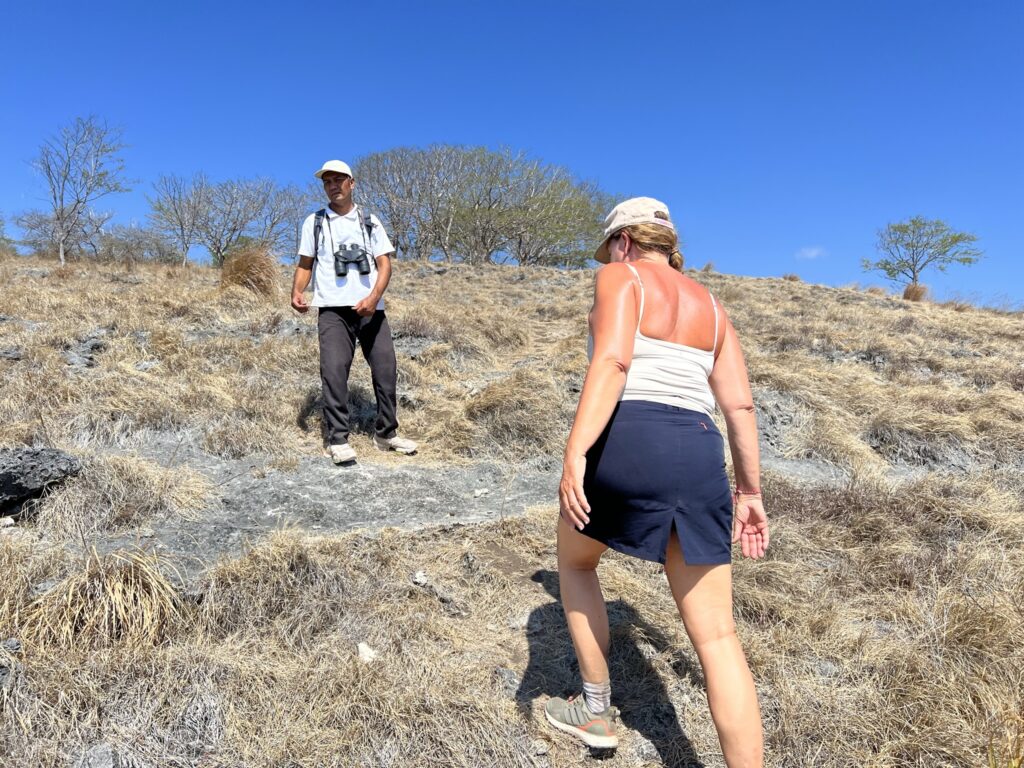
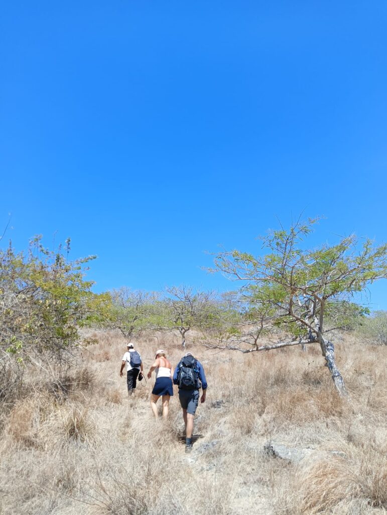
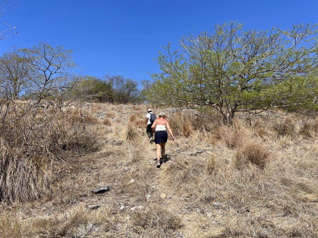
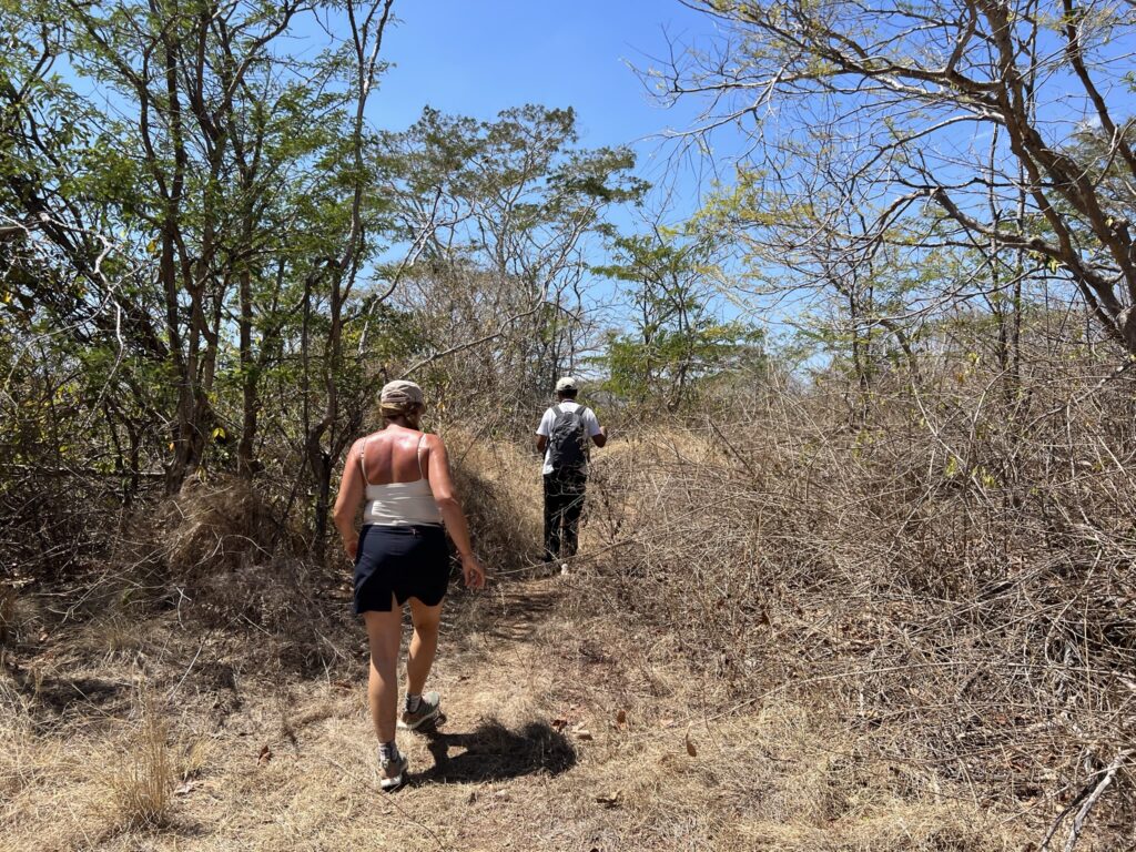
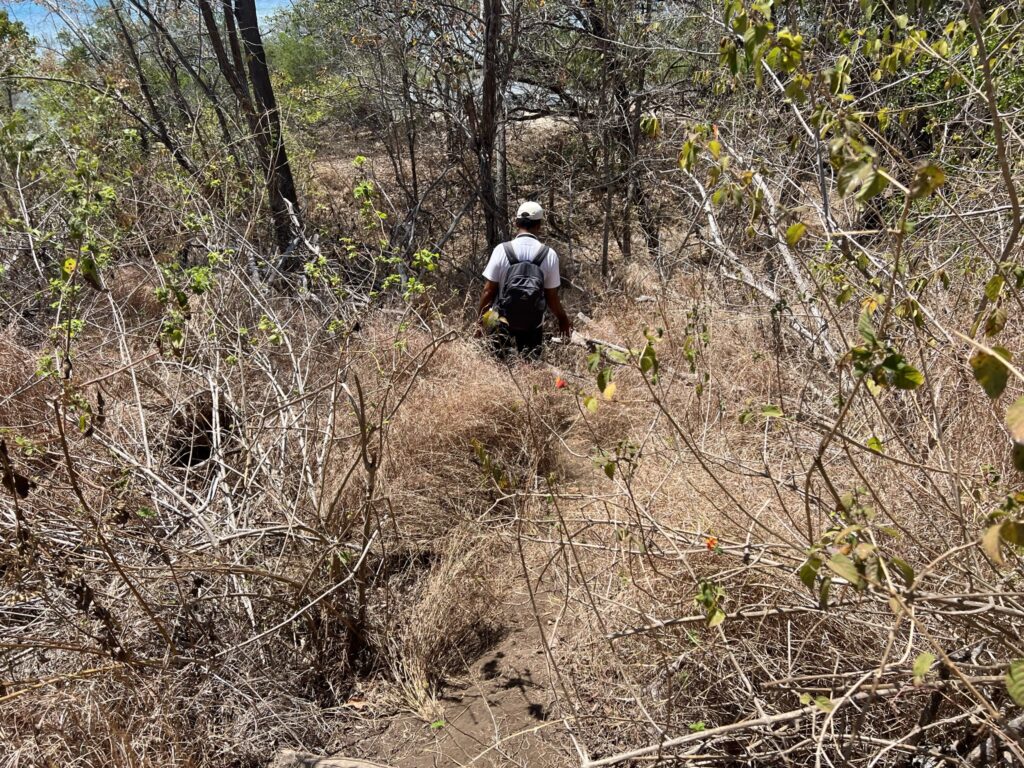
After approx. 2 kilometers of hiking and a lot of exciting new knowledge about Bali, nature and wildlife, we are now about to begin the ascent to the savannah and hopefully a fantastic view. Our guide tells us that he has never brought anyone else up and that he has explored and found this route himself, but that it has been several years since he has last walked the tour. The route consists in equal parts of faintly visible animal alternations and almost invisible tracks. It requires safe feet in non-slip shoes, but also small steps and great attention to where to put the next foot. After the first stretch of ascent, the climb flattens out a bit, but there is still a need for great attention to where we step.
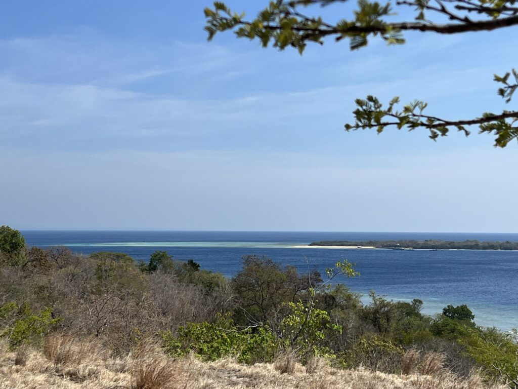
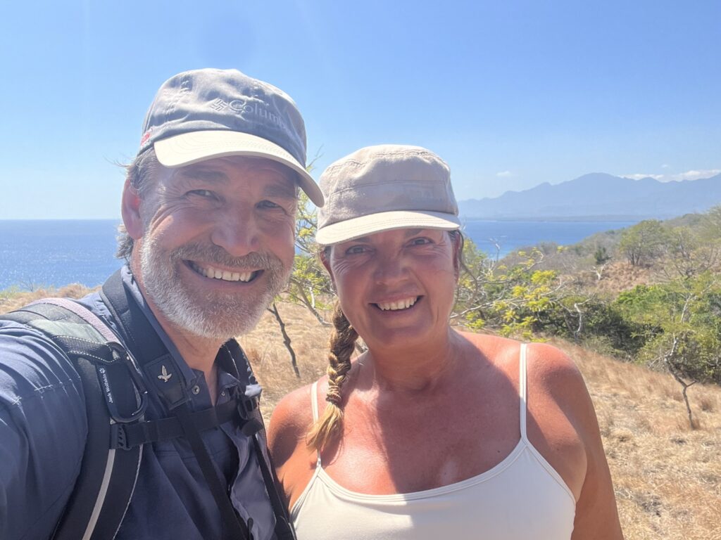
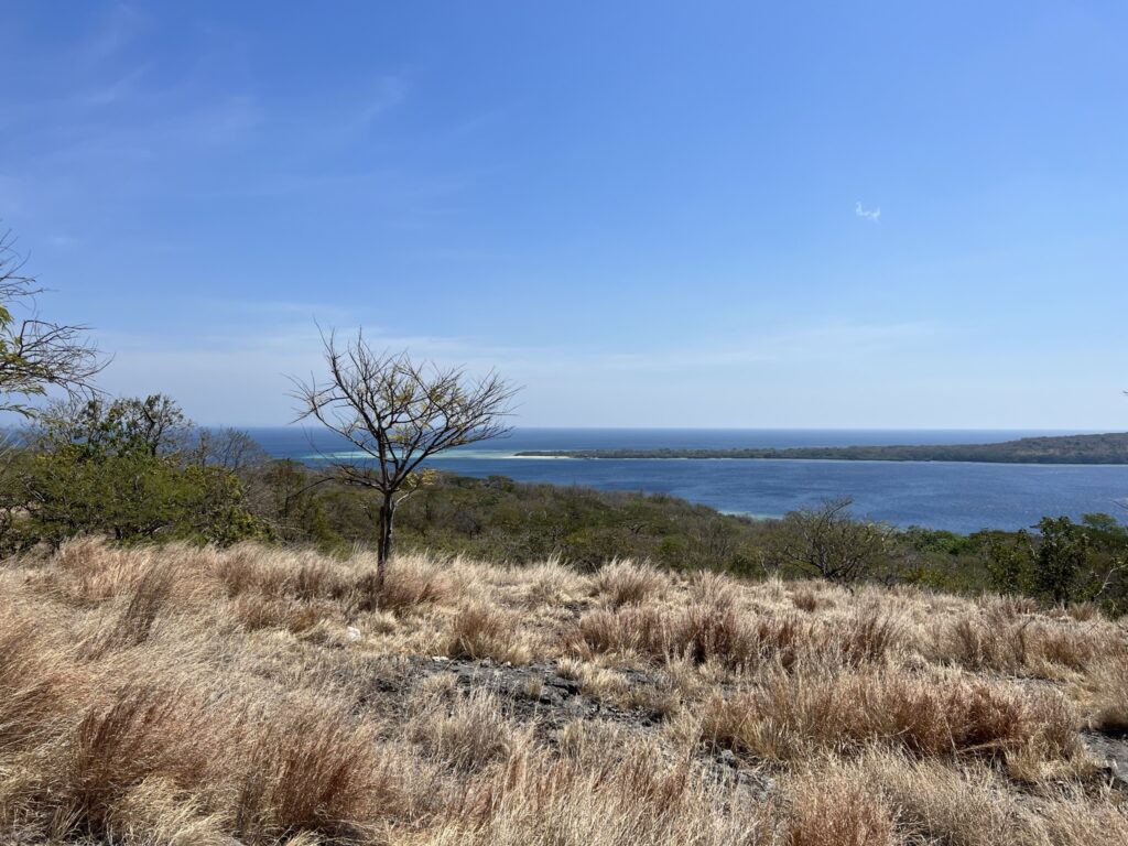
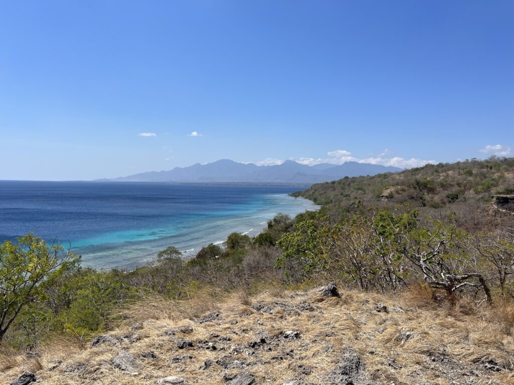
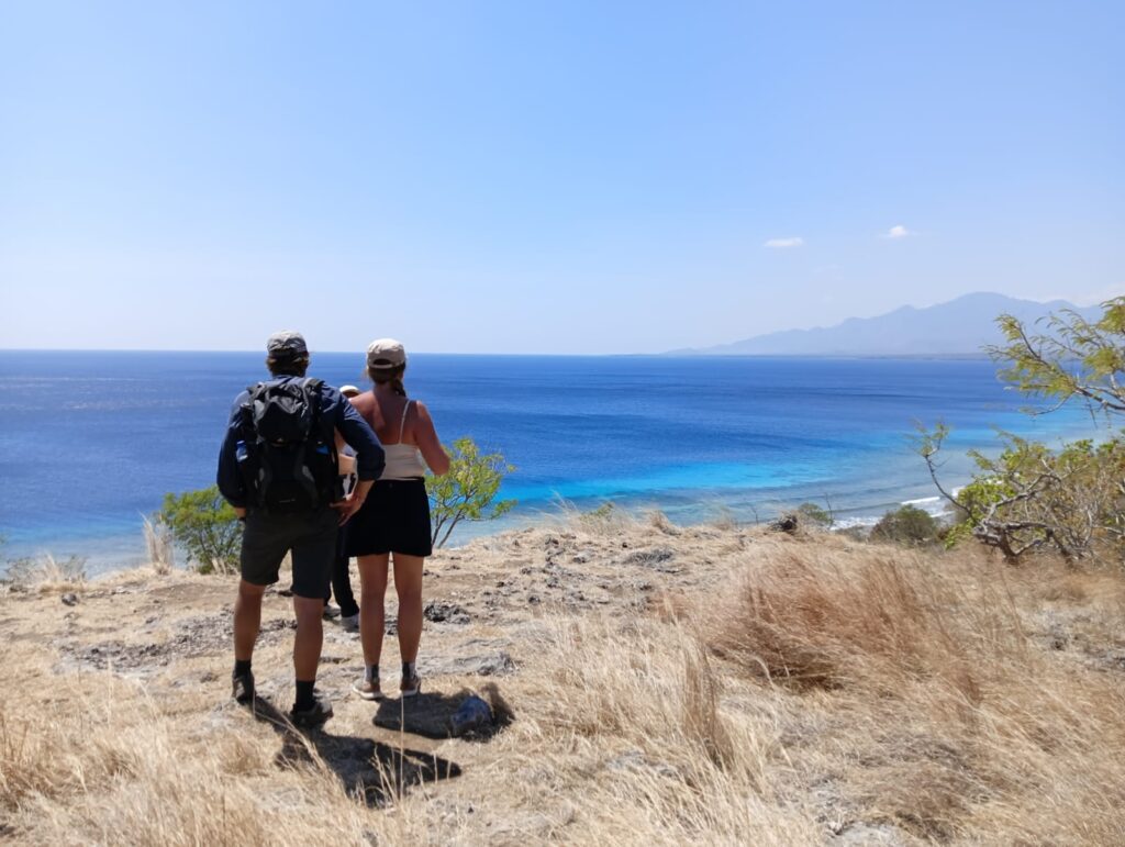
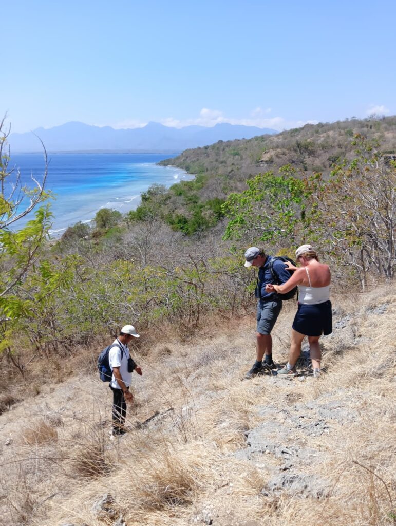
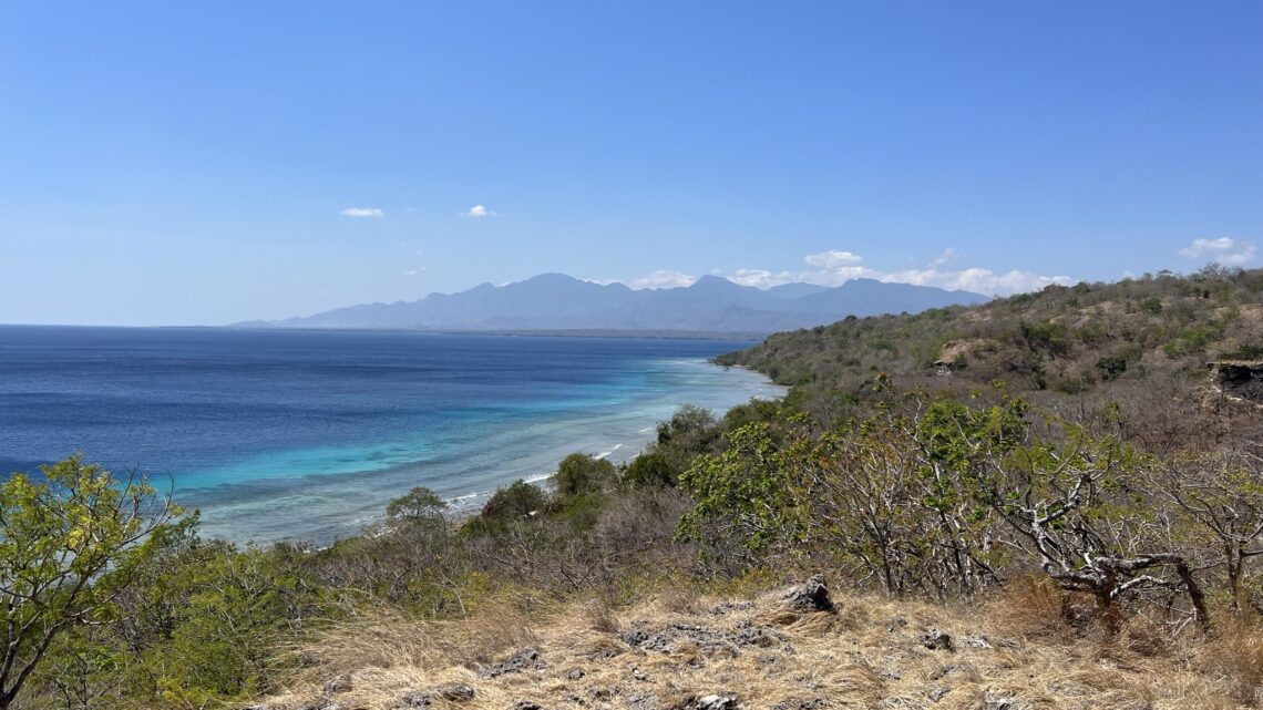
We have now reached the top of our planned ascent, and here we stop to have a sip of water, but also to enjoy the most beautiful view of the national park and the island of Pulau Menjangan, which by the way means deer. Here at the top we are lucky enough to see 3 wild deer fleeing over the rocks as soon as they catch sight of us. We also just get to see another black monkey disappear into a tree. Some of the trees are reminiscent of the trees on the African savannah. We are once again reminded, that at an altitude of about 200 meters we walk on old seabed, as our guide points down some beautiful fossils in the rocks / corals.
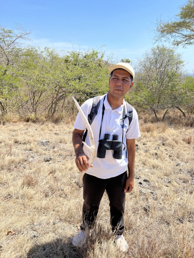
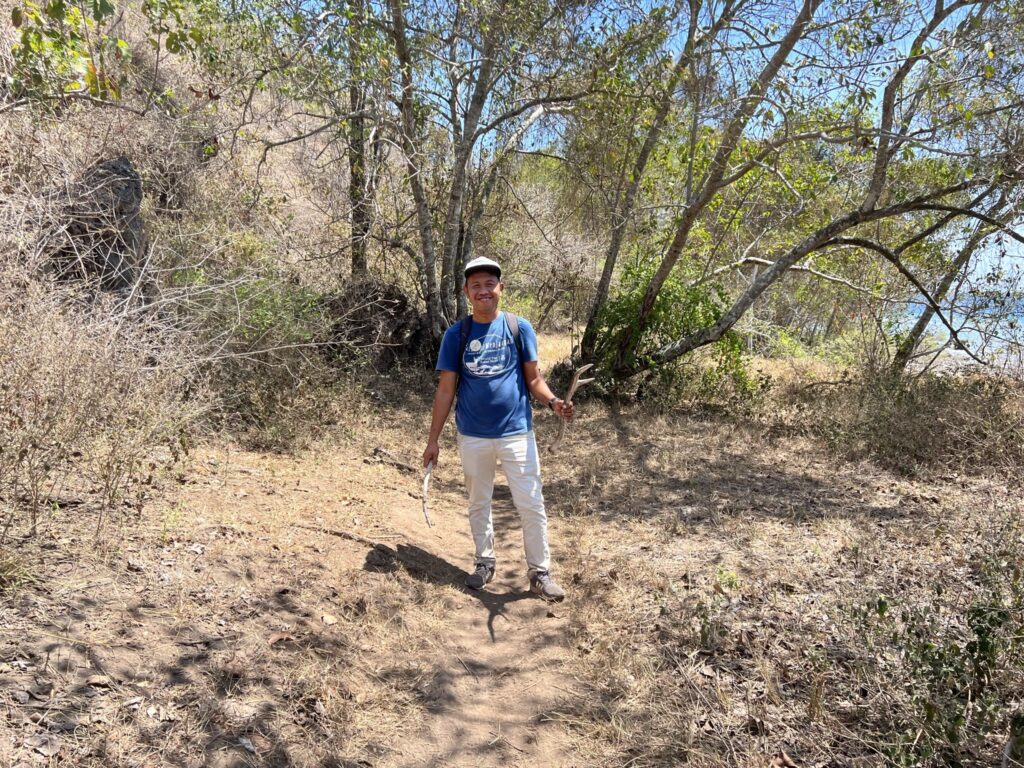
Our tour continues towards the tip of the national park and we are now on the trail that our guide has not been on for the past 5 years. On the way, our guide bends down and picks a few leaves from an elusive little plant – He asks us to sniff the leaves, and we immediately feel like a Mojito – The leaves turn out to be mint. The route increases slightly, but not in relation to our ascent. The view is amazing and we stand for a while and soak in the beautiful landscape. As we resume our hike, we turn in a large circle and cross over our previous trails. Suddenly, our guide bends down and picks up an antler. It is from a one-year-old male, and he tells us that once a year the deer shed their antlers, because next year an even larger one can grow. We are now at the highest point of the trip and the view is breath taking.
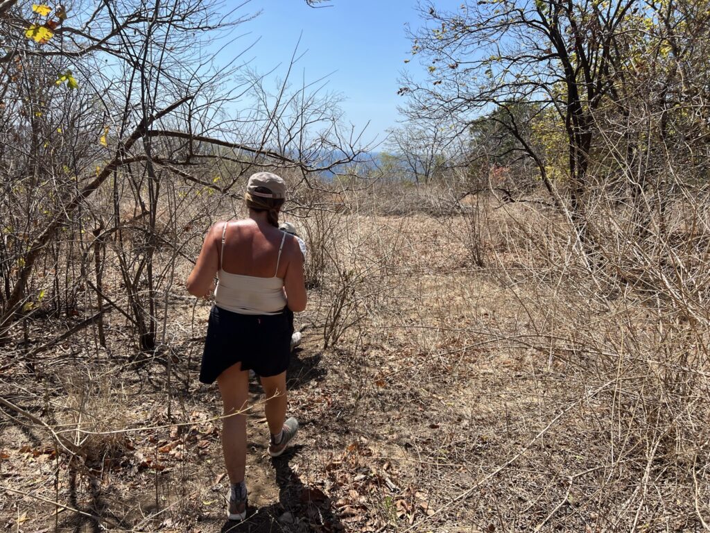
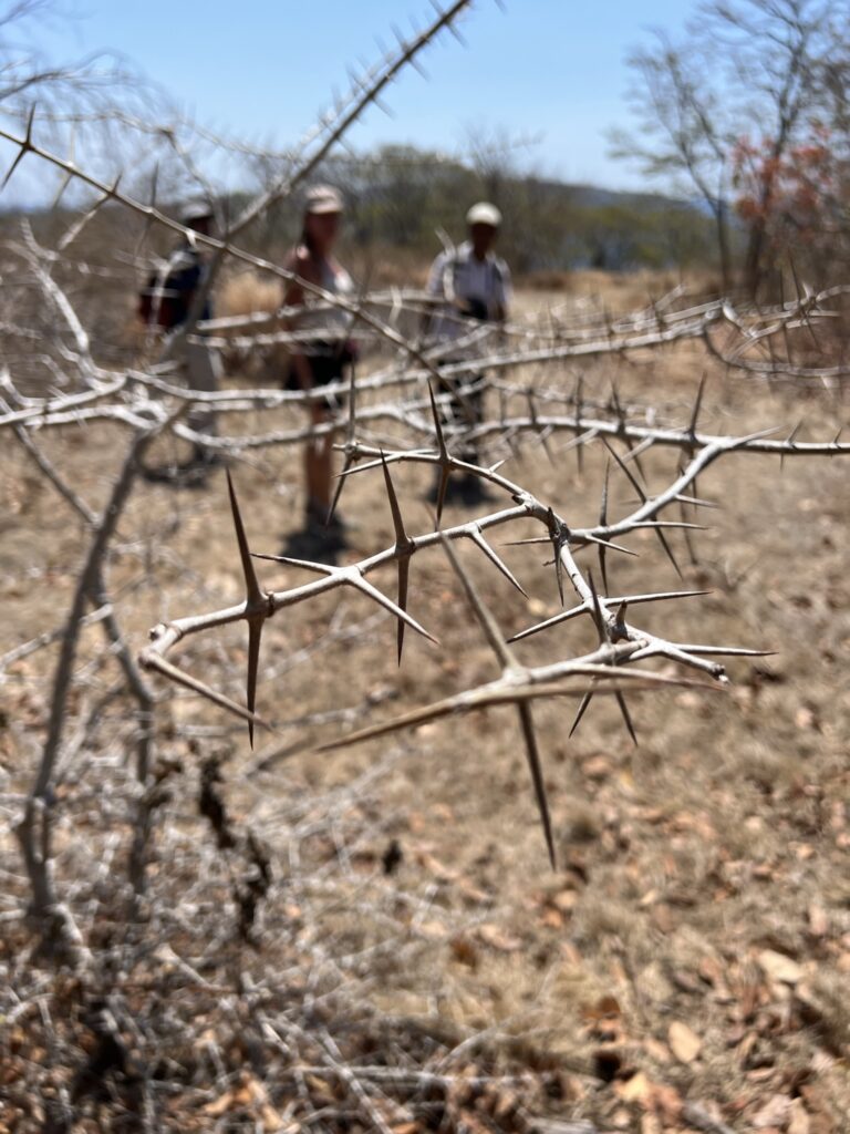
We have now slowly finished hiking on the savannah, and are about to begin our descent again. Since the route has not been used by anyone but deer for several years, it is sometimes quite impassable, and requires a lot in relation to going through scrub and thorny branches. Again good that we have our local guide with us. Before we start the real descent, we just manage to get out into an open area, where we get another fantastic view of the sea.
The descent takes place at a very calm pace so that we can descend safely. At one point, the guide stops, after which he jumps up and down a few times. We can hear that it sounds quite hollow below him. He explains that underneath there is a large cave where both deer and varans live. Our guide walks briskly, while we take much better time in the rear. Well down on the path along the sea again, we look back to see where we came down, but the path is so well hidden that we can't actually see it.
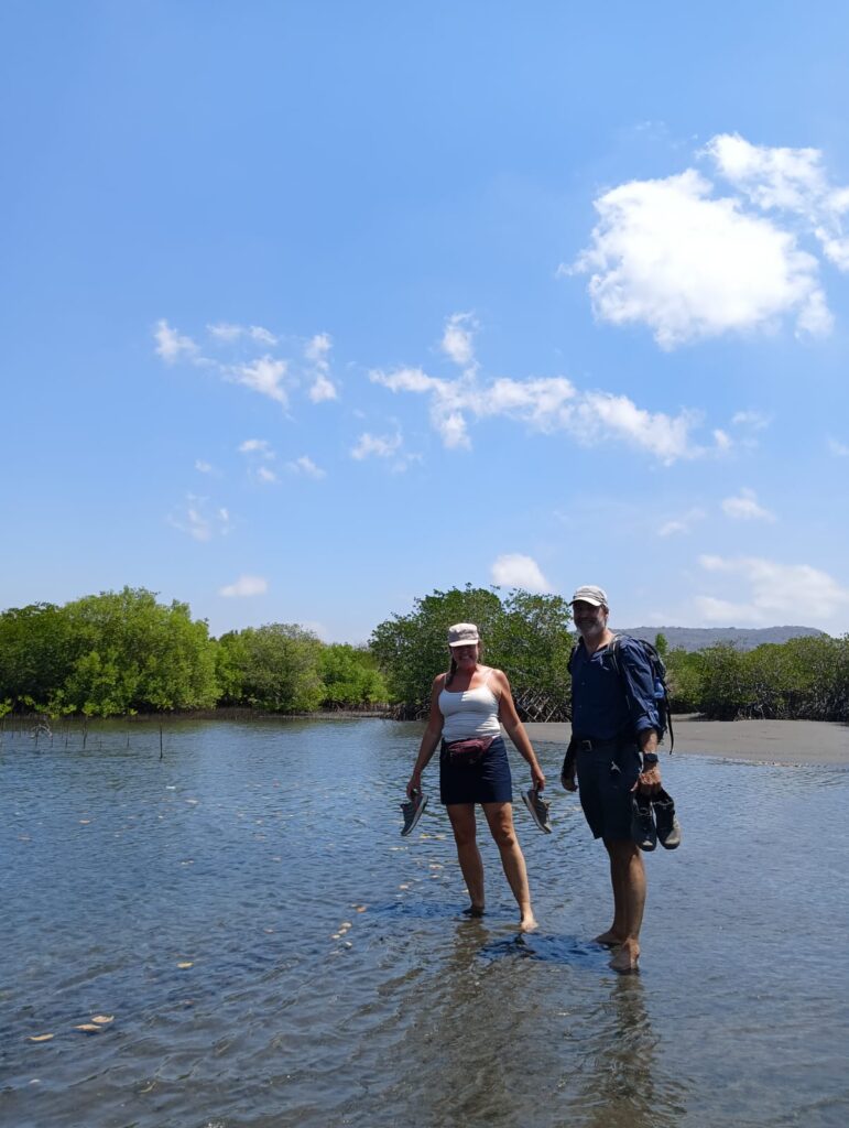
After both ascent and descent, the rest of the tour is A-walk-in-the-park. The route is again flat and there are no obstacles. We get to see another black monkey, a couple of Kingfisher and a crocodile tree, which has been named after the crocodile because the bark is rough like a crocodile's skin. Surana has carried the antlers down from the mountain, but remembers that he is not allowed to remove anything from the national park, so all he gets is a photo and a memento. At our starting point, the boat is waiting to sail us back to our starting point. Here there has been high tide, so the boat can go further in, but we do not avoid taking off shoes and socks again. Surane shows us an area where new mangrove trees have been planted as part of Plataran Menjangan's environmental and ecosystem protection programme. Out of every 100 trees planted, 10 survive and grow large. On the other hand, a mangrove tree absorbs up to 4 times more CO2 than an ordinary tree.
The trip is about 5 kilometers long, but takes a good 2.5 hours, which is appropriate in such a high heat.
Click on the map below and it will open in Google Maps. From here, you can follow the route as you are hiking. (NB endnu ikke tilgængeligt)
