

The Chasm, Vissenbjerg. 8 km.
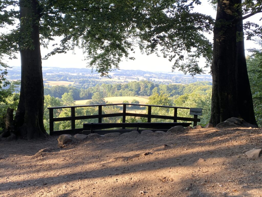
In the middle of Funen, a little to the west, you find Vissenbjerg. Vissenbjerg is located close to the highway and probably mostly known for Terrariet Terrariet with the many reptiles. But for the happy hiker, Vissenbjerg offers a unique nature. Set the GPS to Terrariet Vissenbjerg where you can park your car. The hike starts by following the path along the terrarium. After only a few hundreds of metres you meet an amazing view of the western Fünen and if you left home early you can take the first coffee break here. Visit Assens. Sæt GPS’en til Terrariet Vissenbjerg, hvor der er god plads til at parkere bilen. Turen starter ved af følge stien op langs Terrariet. Efter blot få hundrede meter mødes man af en storslået udsigt ud over Vestfyn, og er man kørt tidligt hjemmefra, kan man sagtens tage den første kaffepause her.

From here you go right and follow the wide forest road on the top of the hill. (As we hiked in the morning around 6 AM, we could feel the humidity and warmth from yesterday’s heat in the forest). We held right in the forest so we could walk as far as possible. As we come to the edge, we choose the path that goes left and walk back to the starting point, only halfway down the hill. We come to Fugleviglund Produktionshøjskole og straight after their first building, we take a right down a small path that will lead us out on to open fields. Now we hike by the end of the hill with the fields to our left and the forest on our right. When the forest stops we go down a path to the left and we follow that path until we reach Bakkevej where we go left and then again to the left towards Bred.


The road ends in Lundager where we go left until we reach Bredgade (307). We go left again and in the first roundabout we go left down Bredgade. When Bredgade goes right, we go left onto Skalbjergvej until we can left by Under Bankerne. Here we meet the sun for the first time on our hike. The difference between the warm forest and the mild air below the open sky is breathtaking.


In the hide between bushes there is to the left a small stairway upwards. It leads to a shelter and we choose this route. The route goes on to a field and on the top there is a shelter camp with a perfect spot for coffee and a view of the terrain.


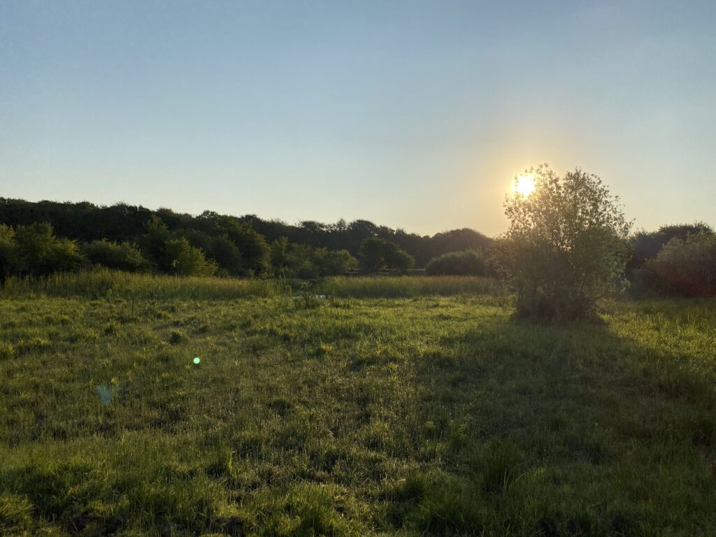
We continue in the opposite site of the camp where we go through a gate to the left and to the right can hike down a path. We choose the middle way and pass an old, rusty excavator. Along on to an open meadow. Several small wooden bridges have been made on the meadow that tell us that the meadow can be very wet at some points. Luckily we were not affected by soppy grounds. By the end of the meadow runs the country road but we follow a path to the right just before we reach the country road.


At the end of the field we hike into the forest and here we go left. Although it would be a shame if you did not take the time to go 50 metres down the path to see the amazing view of the valley.


Back on the route the path moves downwards and to the left it is very steep. The path down towards the chasm is the absolute highlight of the hike. There is a small bridge by the end of the path across a stream and after that we follow a path to the left. We follow that path into a valley with steep slopes on both sides and with a stream below.


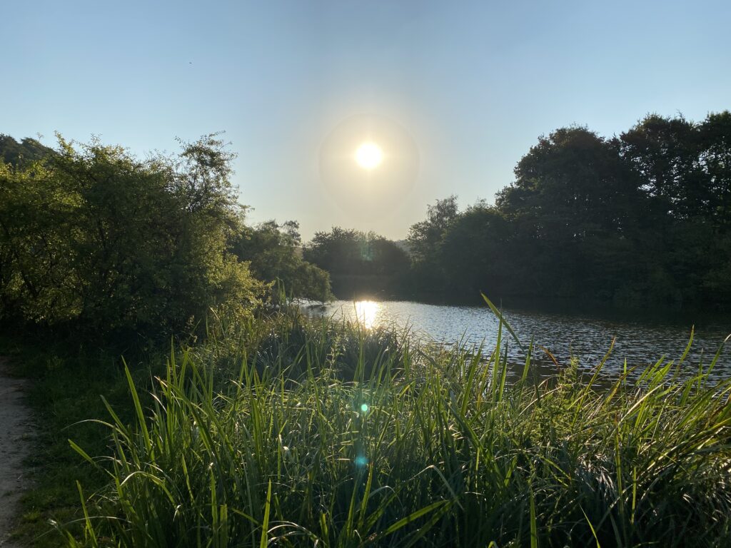
As we have walked in the valley for a while we cross the road and continue to the left around the Møllesø. By the end of Møllesøen we take a right and shortly after we arrive at the country road which we cross to get to Lunderskovhuse. It starts as a gravel road but continues as a forest road.


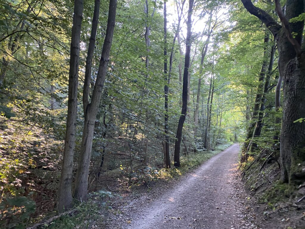
After about 500 metres there is a path to the left that goes up into the forest which we follow. At the same time we stay to the right to experience the last part of the forest. We exit the forest across the entrance to the Terrarium. It has been a great hike up and down the hills and it is very clear that the area has been going through big changes during the Ice Age.
The hike is about 8 kilometres long. It may not sound as much, but the last kilometres comes as you go up and down many hills. Our highest reached altitude is 143 metres, which can take the breath from you several times.
Click on the map below and it will open in Google Maps. From here, you can follow the route as you are hiking.
