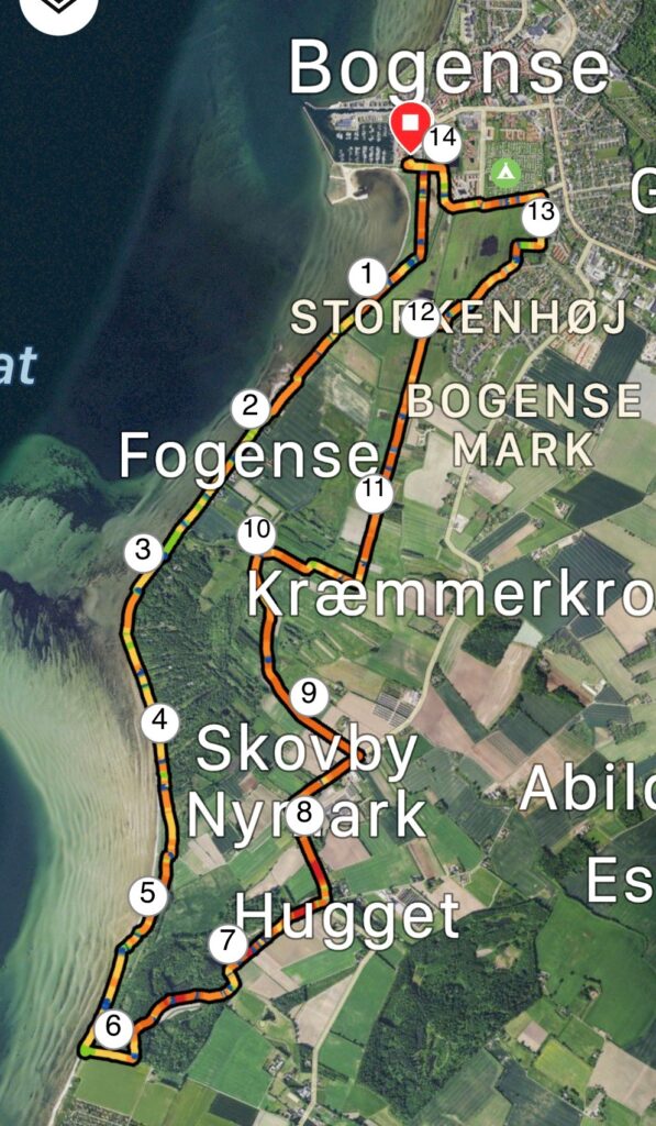
Bogense, Fogense, Nyhave. 14 km.
Bogense is located on the Northern part of Fyn and is an old market town. It is right next to the water and is definitely worth a visit.
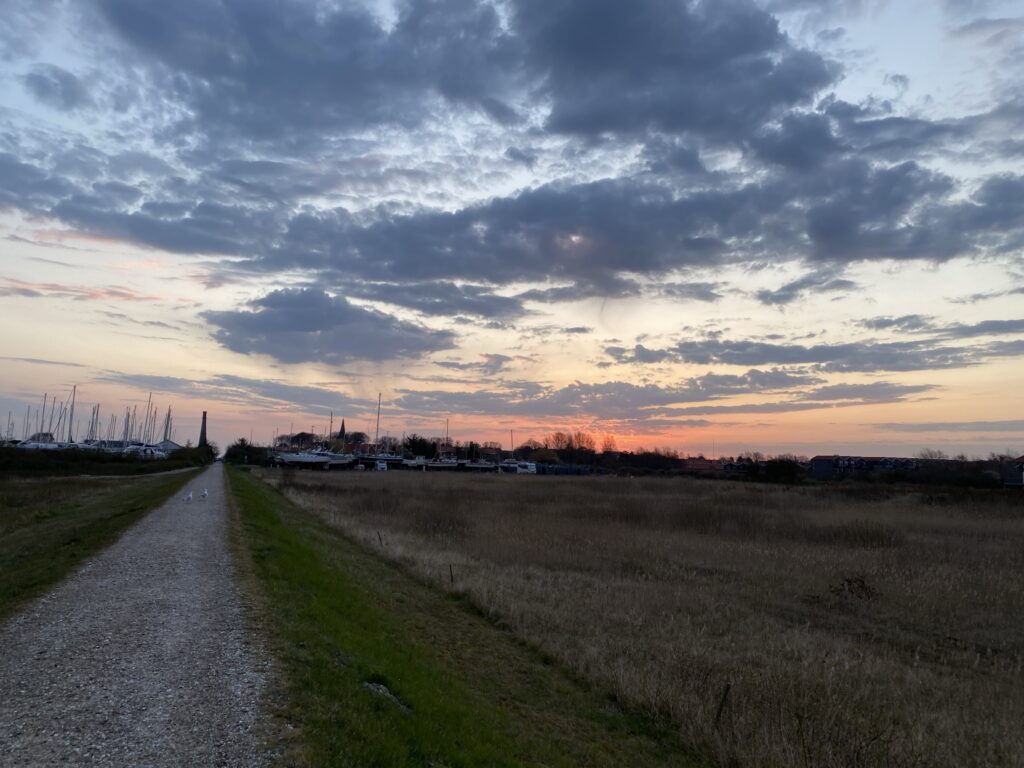
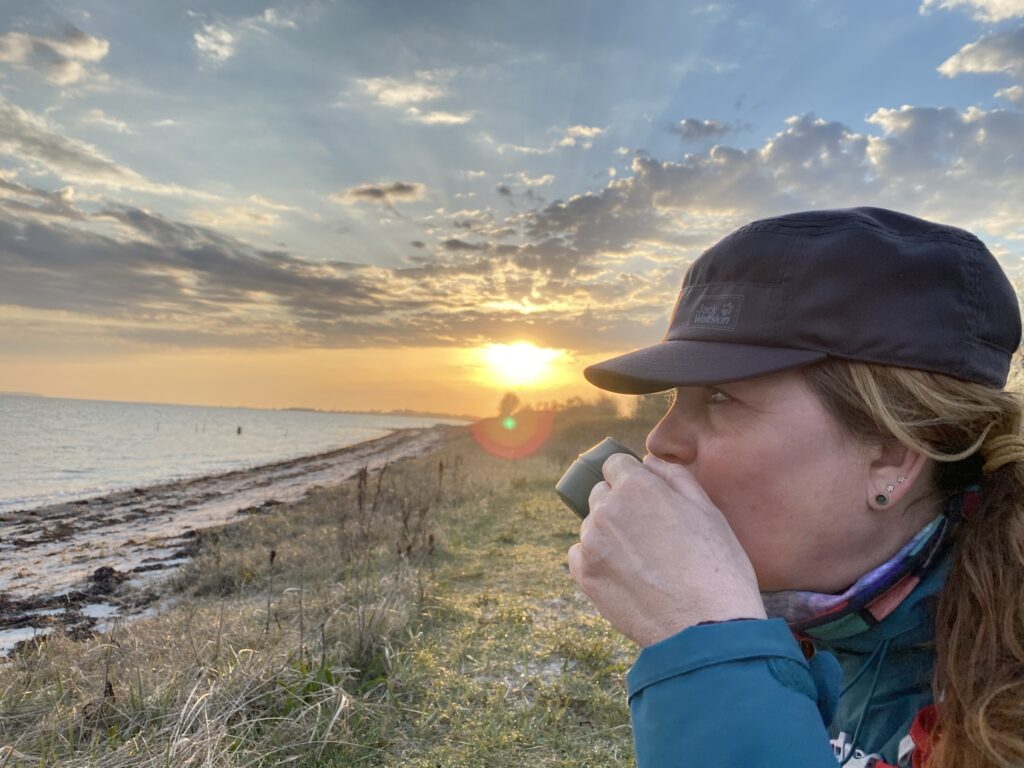
We got up early and set the GPS to Bogense harbour and parked our car at the big parking lot by the marina. To the west, a beautiful path has been made that follows the water. Walk on the wide path so that you have the water on your right. When you have walked a bit then turn around, and you will get a postcard view over Bogense and maybe the sunrise, if you are an early bird.
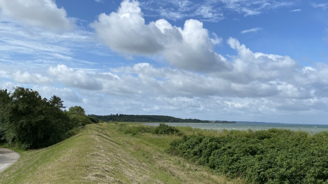
The path continues for about a kilometer until it makes a turn into Storkenhøjvej. You can choose to walk along the coast, or you can choose to walk on the dike, so you can see the water all the time. We choose to walk on the road further past Fogense, where after approx. 2.5 kilometers you will find a nice coffee spot right down to the water.
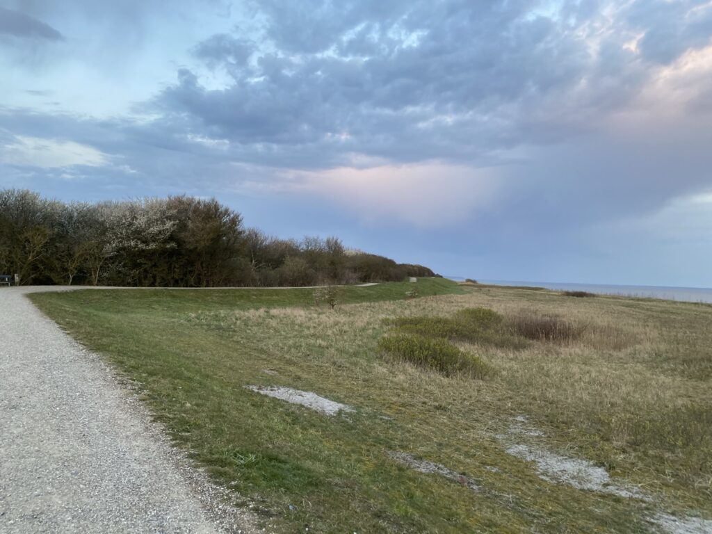
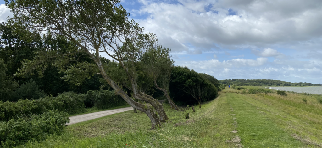
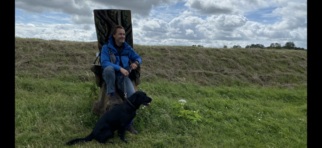
From here we continue along the water, but the road is level with the dyke in some places, so you can also see the water from the road. In other places, the road is sheltered behind the dike, but here you can enjoy many of the cottages that are set back in the forest. After just over 4 kilometers we come to a parking space where the dyke ends and where there is a chair carved in oak by the local artist Allan Bo Jensen.
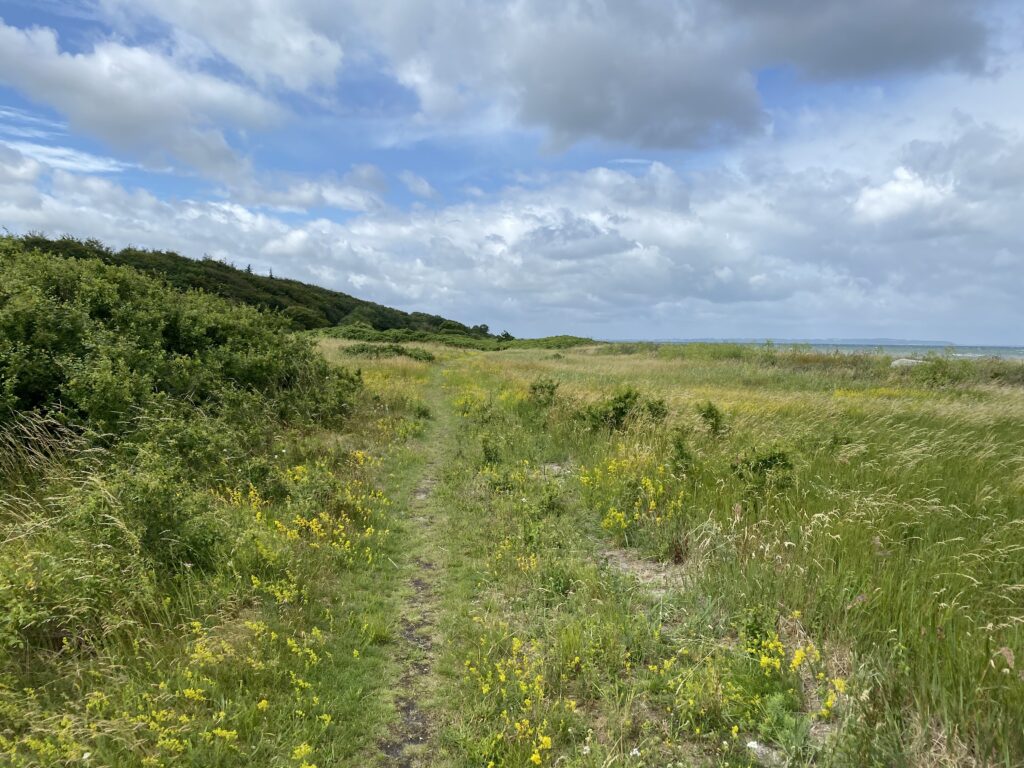
From here, the tour continues in a landscape that most resembles the Jutland heath, with heather, rose hips and St. John's wort. From there, it is not far to walk with your feet right down to the water's edge.
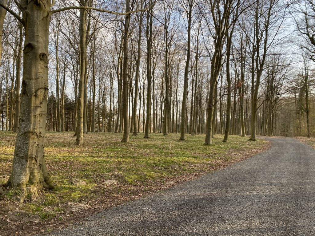
After about 6 kilometers, we reach Nyhave where we leave the beach and hike into the land. However, no more than approx. 100 meters before we turn left along a wide forest road, which is private but where traffic is allowed. The forest is very well maintained and we keep to the right at the first division and again at the second division. The forest alternates between open areas and forest, and it is clear that the forest is used quite a bit for hunting. We see both pheasants, hares and buzzards in the forest.
When the path divides for the third time, we take a left and immediately after a right onto the straight dirt road. Now we have the forest on our left side and the fields to our right. Just before we come out onto Skåstrupvej, we come through a large, beautiful red gate and past a beautiful half-timbered building.

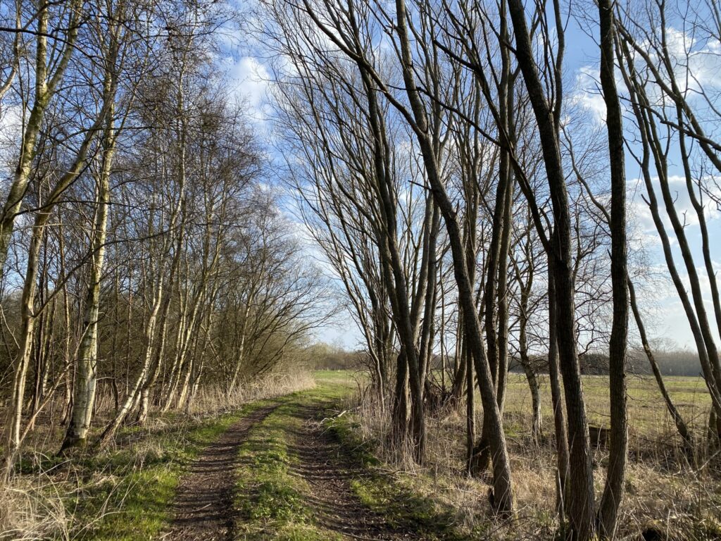
We take a left on Skåstrupvej, which turns into Huggetvej. The road meanders merrily and we pass both rose fields, nurseries and fields of cabbage. Many fine raw materials are produced in this area. We even pass Bogense Airport, which with its runway of only 410 m long does not take the really big planes :-). Between Huggetvej 116 and Huggetvej 110, a dirt road goes to the left, and we go down it. We follow the dirt road for a good 1 kilometer and come through an open, yet overgrown area, where the deer jump off to get away from us.
We take a left on Skåstrupvej, which turns into Huggetvej. The road meanders merrily and we pass both rose fields, nurseries and fields of cabbage. Many fine raw materials are produced in this area. We even pass Bogense Airport, which with its runway of only 410 m long does not take the really big planes :-). Between Huggetvej 116 and Huggetvej 110, a dirt road goes to the left, and we go down it. We follow the dirt road for a good 1 kilometer and come through an open, yet overgrown area, where the deer jump off to get away from us.
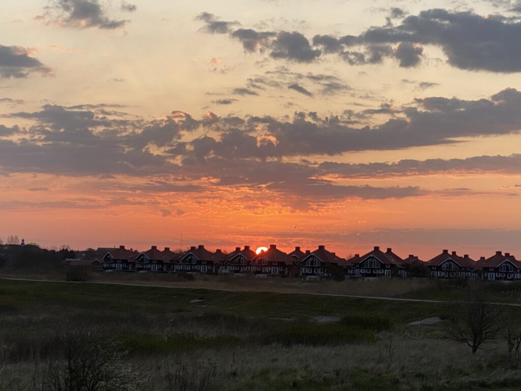
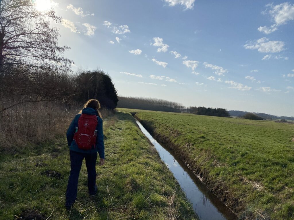
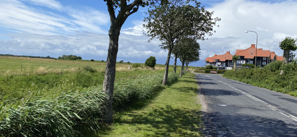
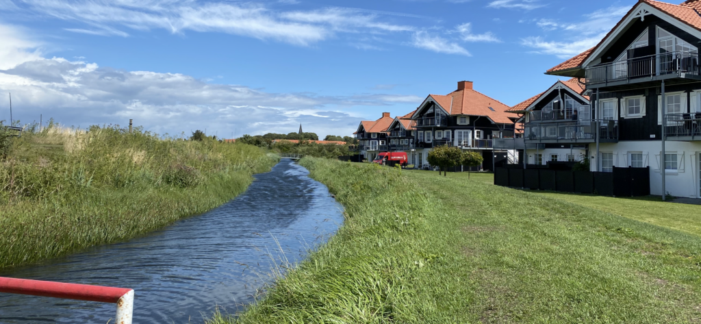
When the dirt road hits Storkenhøjvej, we go right and then go left just before the cluster of trees. (If it has rained, we would recommend that you walk past the vegetation and turn left onto Norgesvej.) We follow the path that the municipality has laid between the "Norgeskvarteret" and the large meadow area, thus reaching "Ved Diget", which leads us down towards the water again. We hike with Bogense Strand Camping on our right and the meadow area on the left, and look straight ahead towards the characteristic black villas/holiday homes, which lie with a nice view of the water. We go left around the houses and follow the path back to the car park
The hike is about 14 kilometers long.
Click on the map below and it will open in Google Maps. From here, you can follow the route as you are hiking.
