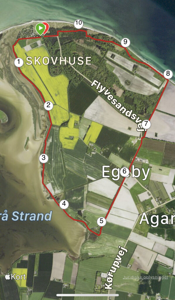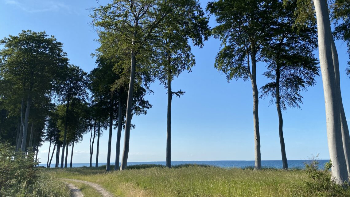
Flyvesandet – Nordfyn. 11 km.
One of Funen's northernmost points is Flyvesandet, which is located on a headland with the most beautiful view of both Æbelø, Endelave, Samsø and Jutland.
When you drive through the large forest for the last kilometers towards Flyvesandet, we would recommend that you drive all the way around the campsite along the water to enjoy the view, before choosing to park in the large parking lot, which is approx. 300 meters before Flyvesandet Camping.
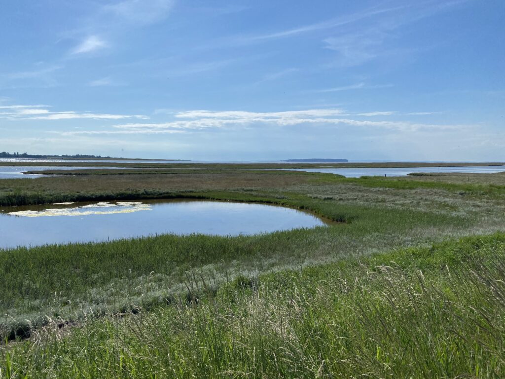
The tour starts by going out towards the tip with the campsite on the right. To the left is a large field where large herds of deer and fallow deer are often seen. At the end of the field we follow the first path to the left and now the nature experience begins. Past the large bird tower, where there is information about the area's bird and plant life, and out into the meadow area.
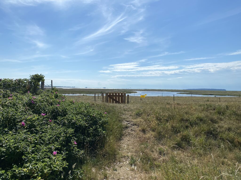
The next approx. 4 km we follow the coast down to Slusemøllen. The trip takes place both in reeds, on the dam in grass up to the middle of the waist, behind the dam and right down at the water's edge. On our right we have the shallow Nr. Nærå beach, which is protected from the sea waves by Nørreby Hals, which stretches out into the water. The area is rich in birdlife, and we saw, among other things, eiders and a colony of herons (Denmark's answer to the flamingo).
After just over 4 km, the Slusemøllen appears behind a large hilltop. A pit stop is recommended here, where you can enjoy the coffee, you brought with you.
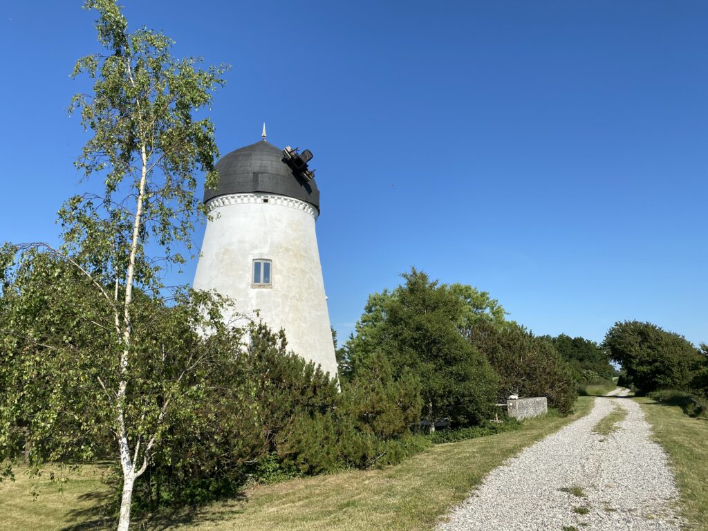
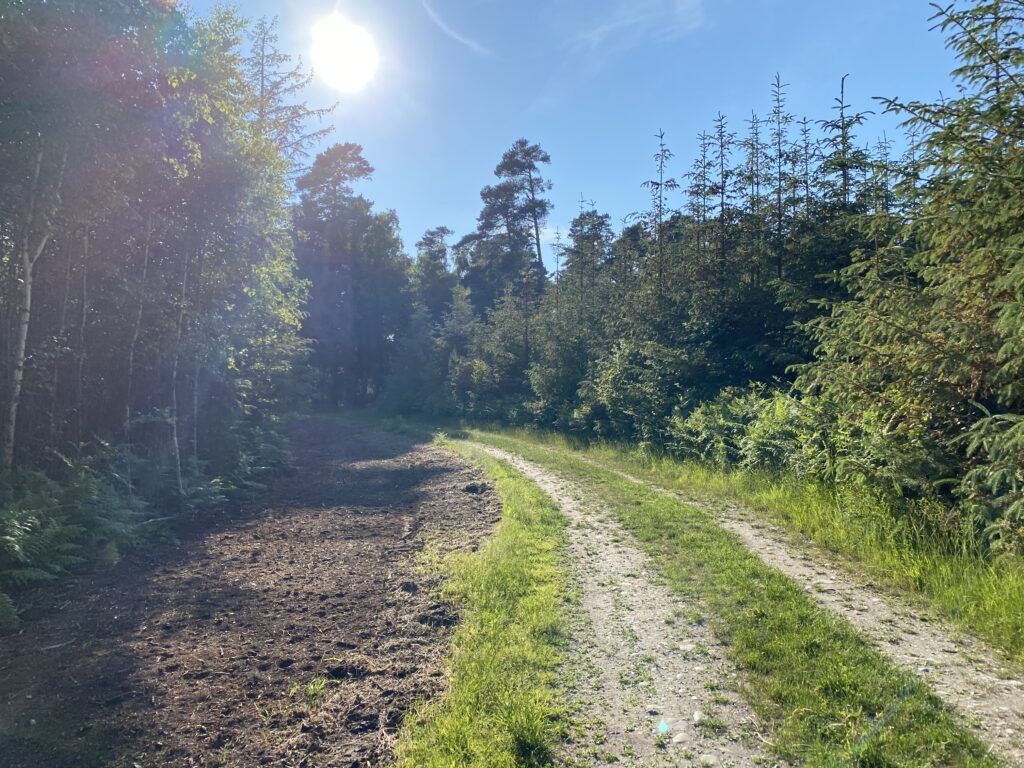
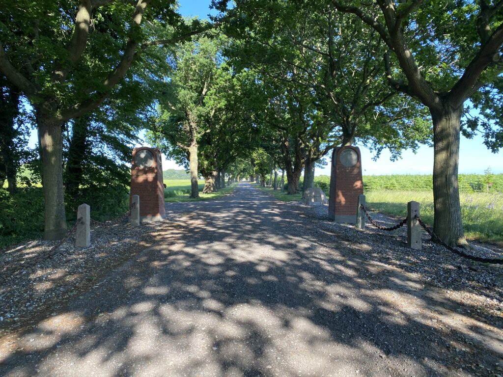
Shortly after the Slusemøllen, we turn left at the first opportunity and now go through a plantation area, where the sandy soil from Funen makes your steps heavy for the next kilometer. The experience of walking in the sandy soil and feeling the heat from the sand and all the smells from ditches and fields is quite special. At the end of the gravel road we go right and immediately left again and follow the country road approx. 1 km until we reach Alleen – One of several entrances to Egebjerggaard.Here we go to the right up Alleen and to the left immediately after the large stone pillars that nicely mark the entrance to Egebjerggaard.
The next kilometer goes past Efterskolen Flyvesandet and with forest on one side and fields on the other. When we reach the top of the hill, we are met by the most amazing view of Kattegat.

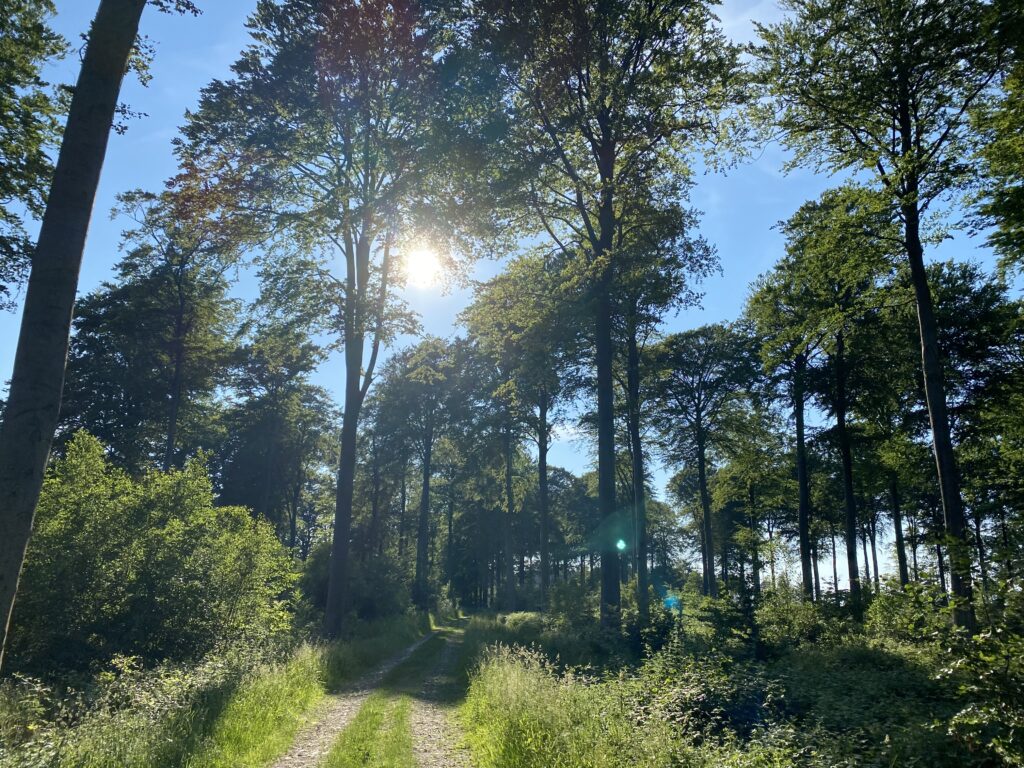
After enjoying the view over the Kattegat, we go left towards Flyvesandet and the car with the Kattegat on our right and the large fields with the woods behind on our left sisw. The road turns slightly into the forest, but turns back towards the water and here we meet one of Flyvesandet's characteristics: the tall trunks of the beech trees with the sea in the background.

The last part of the hike goes through the forest, and with the sun standing low in the sky, we get a beautiful end to our hike, which offers both conifer forest, beech forest and an example of how forestry can also leave the forest floor beautiful.
The hike is nearly 11 kilometers long.
Click on the map below and it will open in Google Maps. From here, you can follow the route as you are hiking.
