Klakkebjerg, Brænde Stream, Aarup, Funen. 10 km.
Set the GPS to Kerte Kirke, Aarup and park the car by the church. From the parking lot, we pass the church first and go down Kertevej and take a right down Mølleknappen straight after. We walk shortly on Mølleknappen until it takes a 90 degree turn. We choose to go left by the marked “hiking and bike route”. We arrive at the first point with a view after a very short hike.
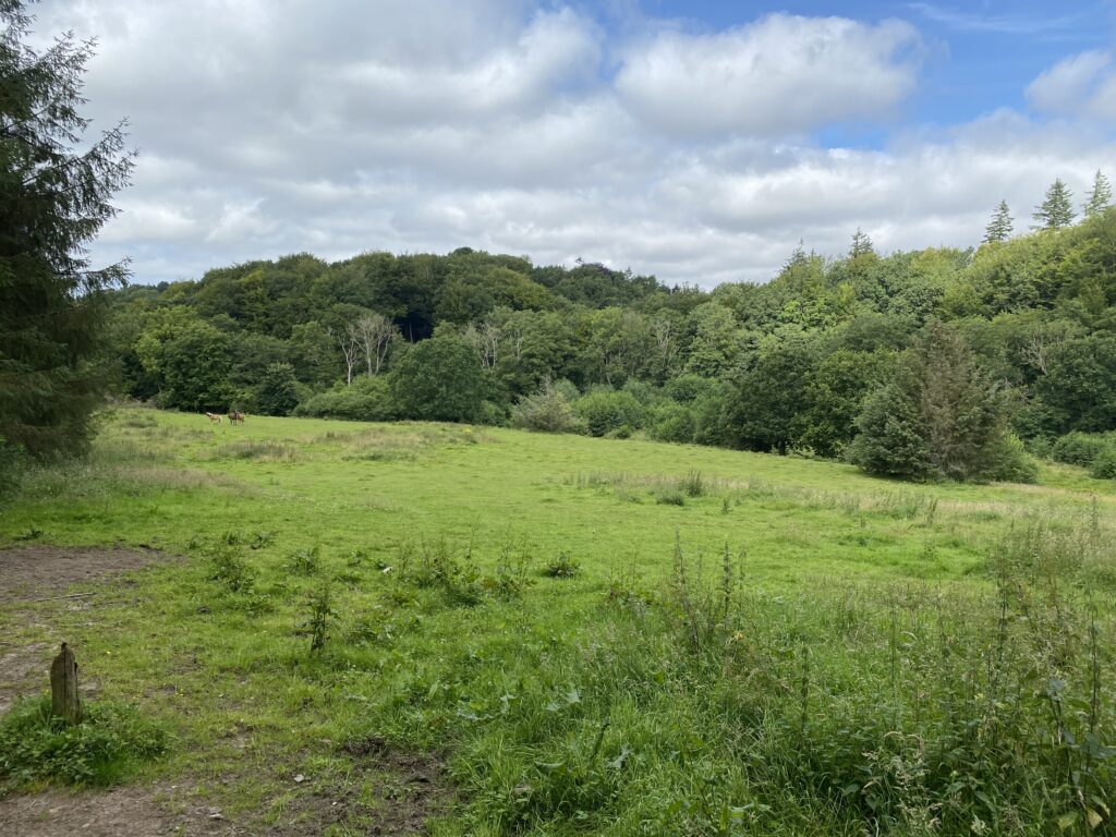
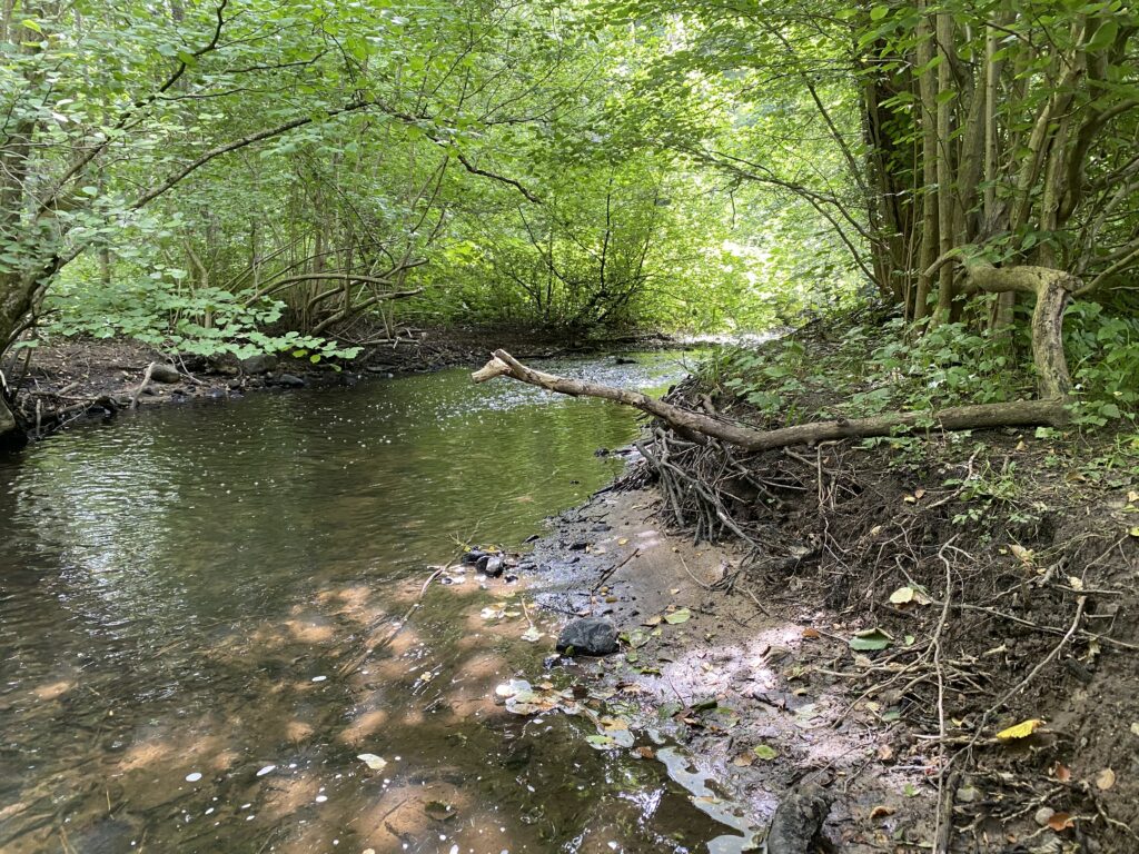
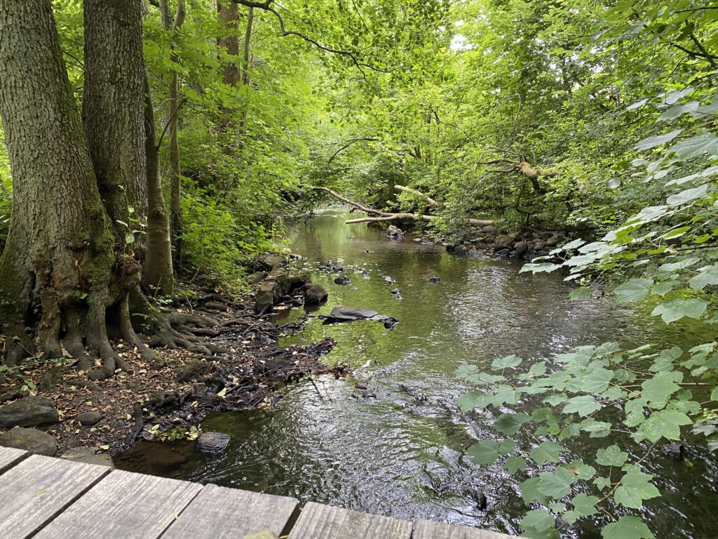
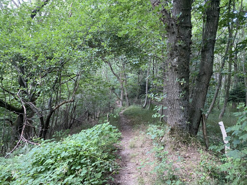
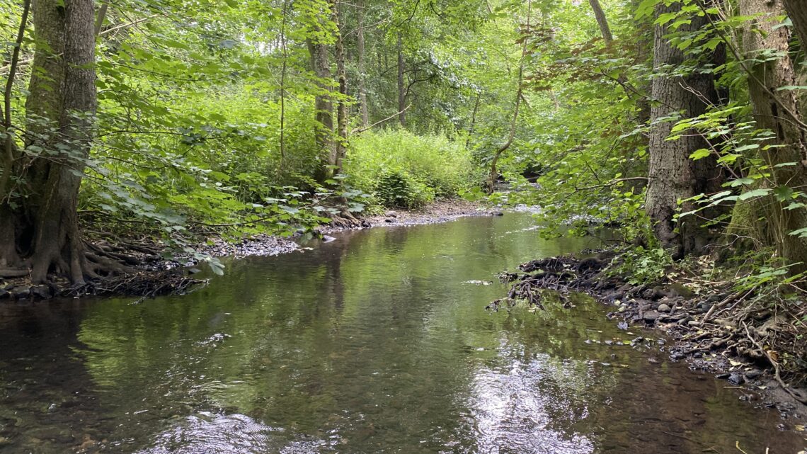
Down the hill and into the Ådal where we meet Brænde Å for the first time. It runs beautifully in between the floor of the forest. We follow the stream and hikes across a bridge. The path splits and we choose to go left where the path goes steeply upwards (we cannot recommend doing this when the ground is wet). We are rewarded on the top with a gorgeous coffee spot and an incredible view - after only 1,5 kilometres of hiking.
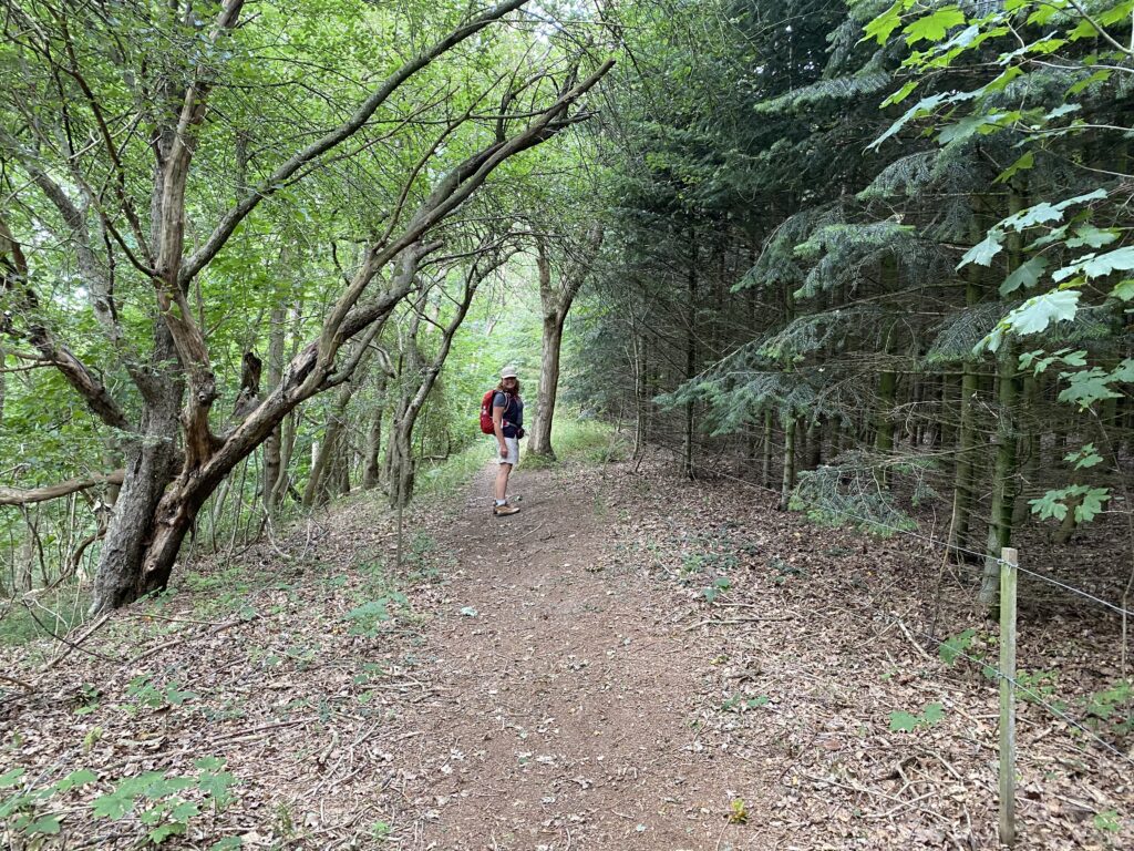
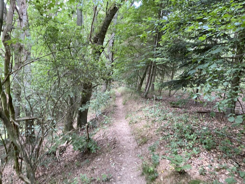
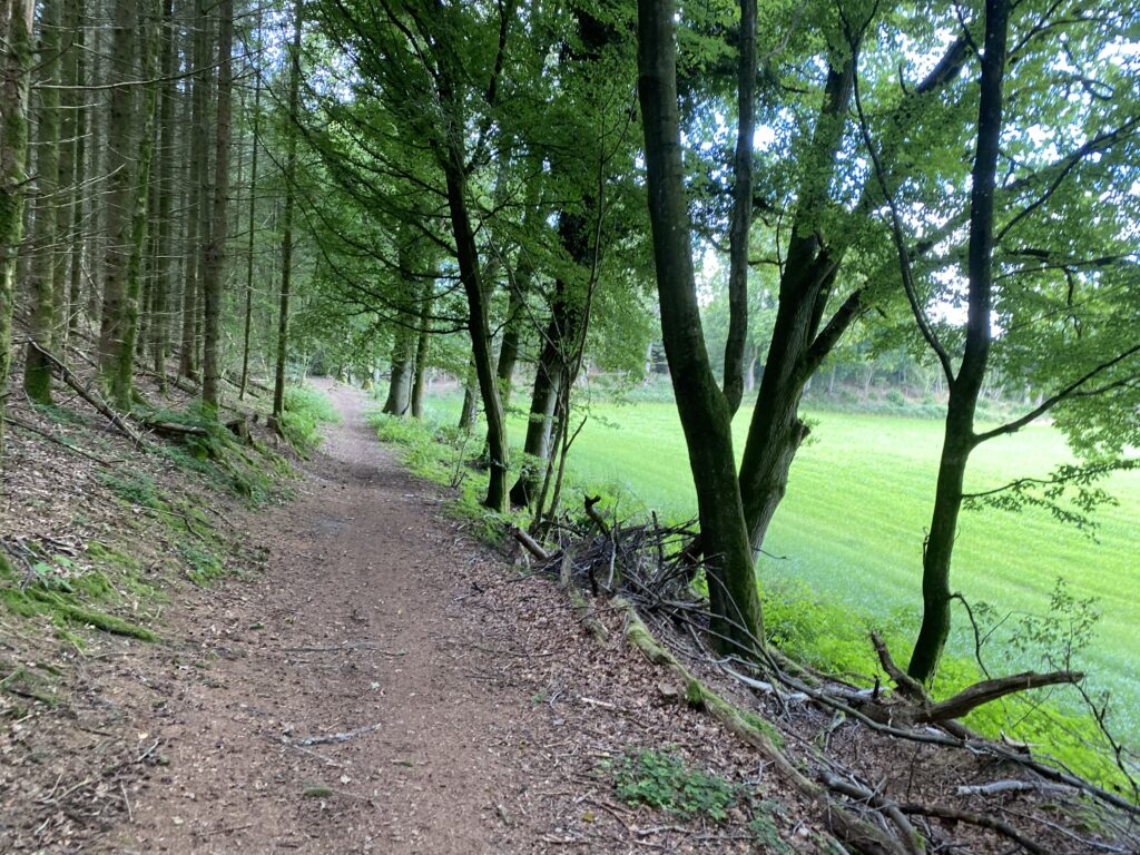
The hike continues down a narrow path where there is a beautiful coniferous forest on our right side and a steep slope on our left.
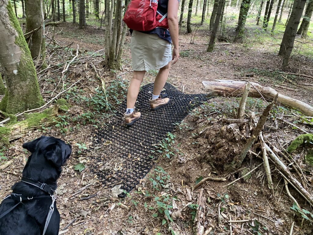
Hereafter our goal is Klakkebjerg, Ørsbjerg (where you alternatively can set the GPS if necessary). A bit intuitively we follow the path until it splits into two and we go right. After a while we reached a forest road. It is a possibility to walk straight across the forest road and on to a field through a gate but we choose to go left until we once again reach the marked path which now leads us to the right and back into the forest. The forest changes between spruces and leaves and our senses are being tickled by all of the wonderful scents. After about 2,5 kilometres we hike across a small hill, on which a non-slip surface has been laid out, and we continue to the left until we reach Ørsbjerg Skovvej where we go right and follow it until we get to Brændeløkken.
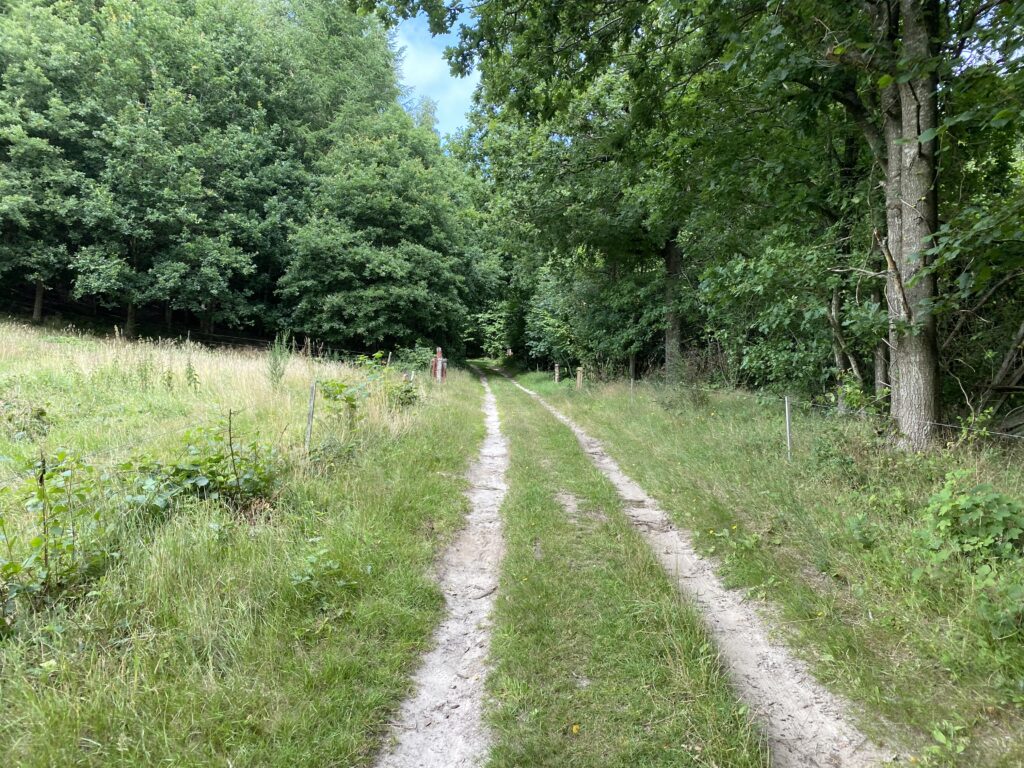
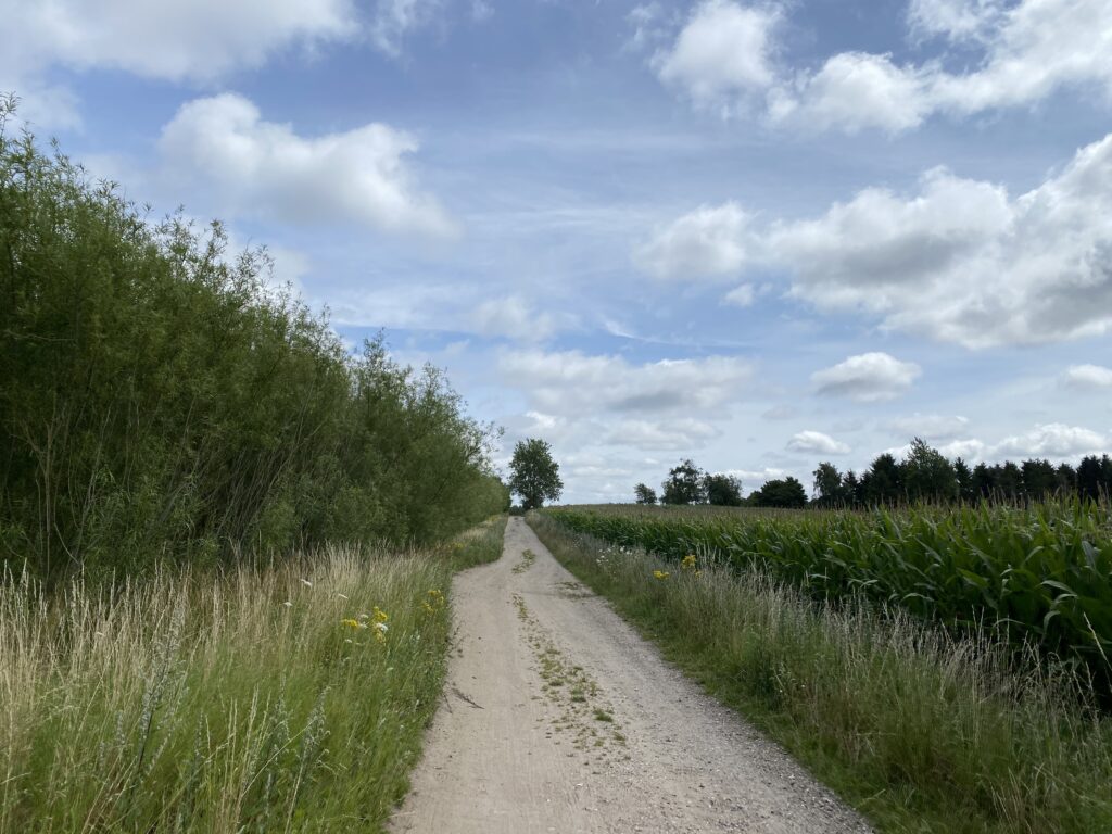
We follow Brændeløkken which turns to Sivkærvej and take a right down Gelsted Mose. After about 500 metres there is a long gravel road to the right that turns into Rårup Udlod. The gravel road is beautifully delimited by willows on one side and a cornfield (when we were there) on the other side.
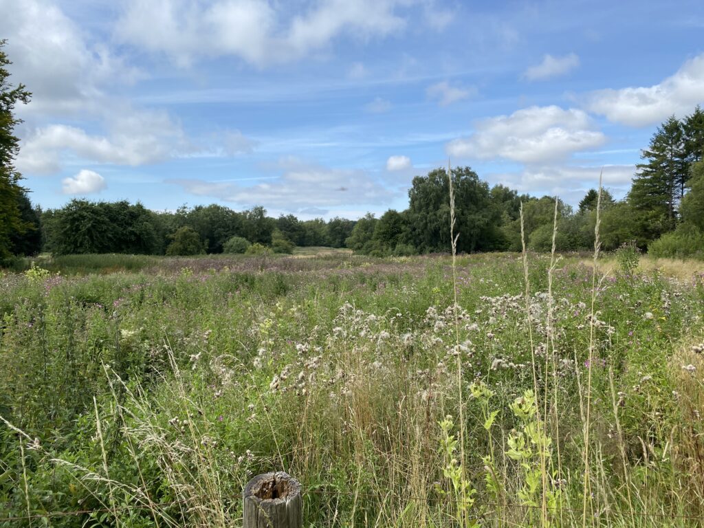
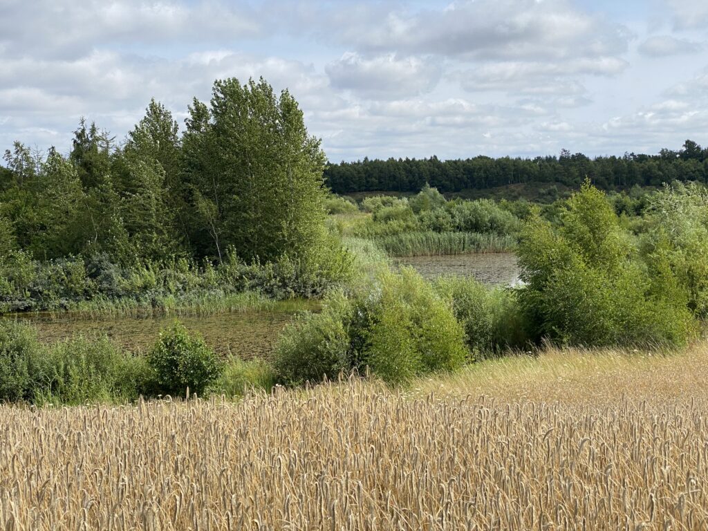
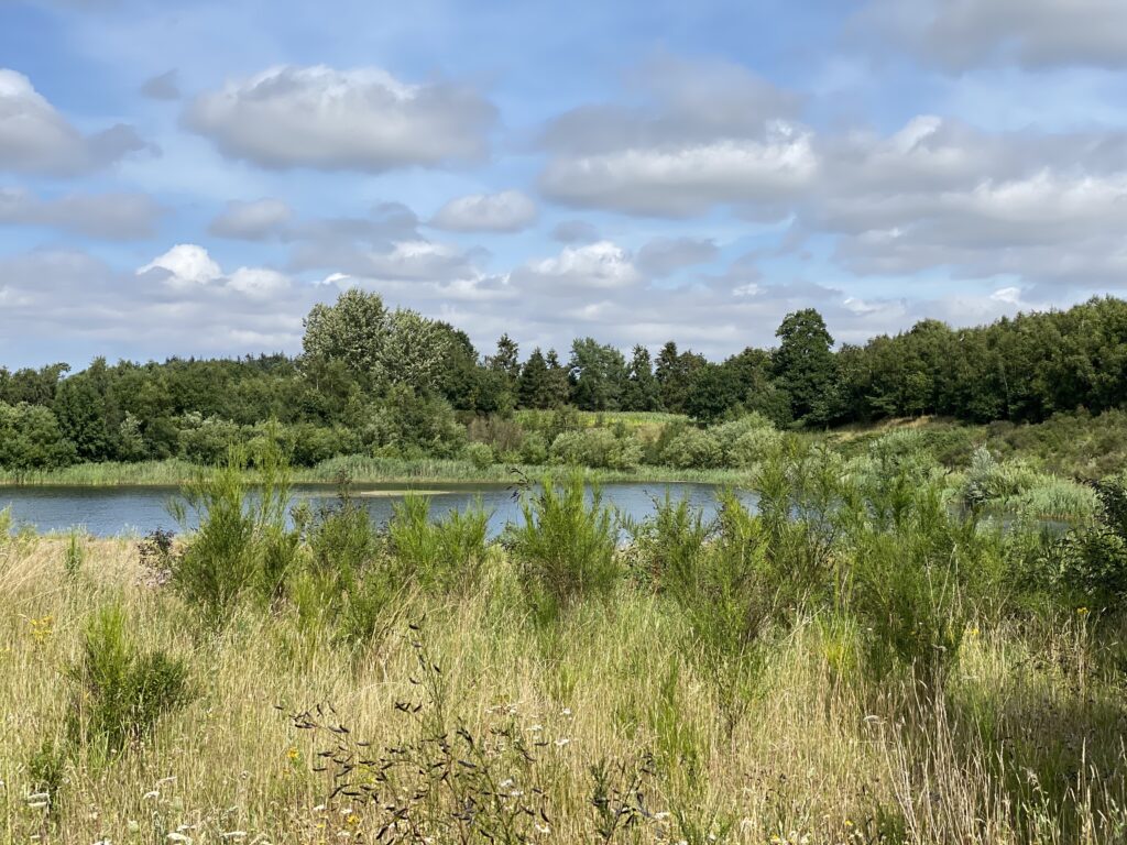
At the end of the gravel road we receive our first overlook of one of the 4 big lakes. We take a right down Tårul Udlod and arrive at a T-cross where the asphalt goes left but we choose the gravel road to the right.
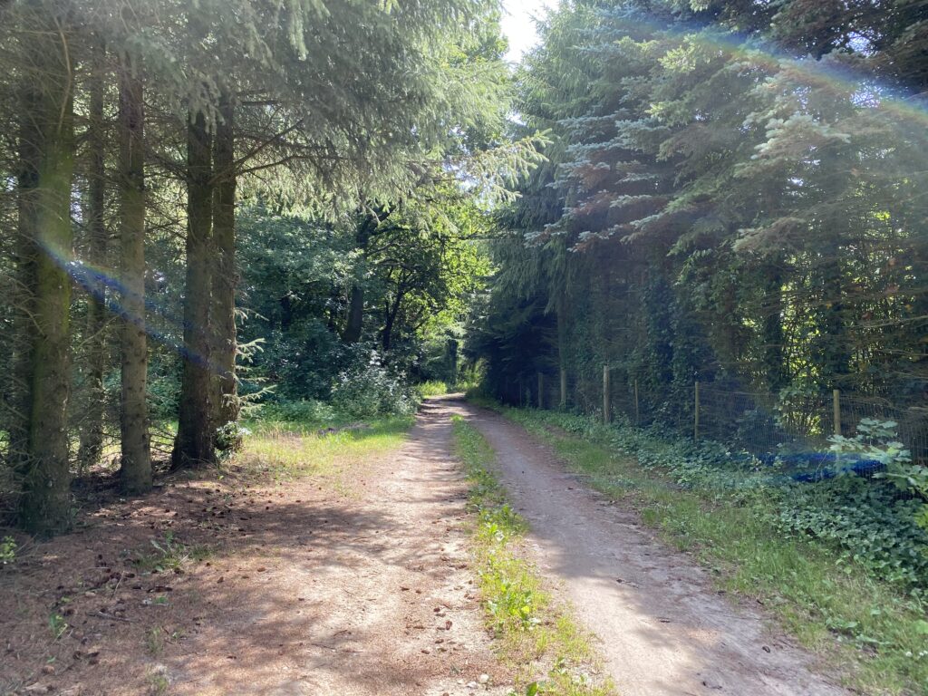
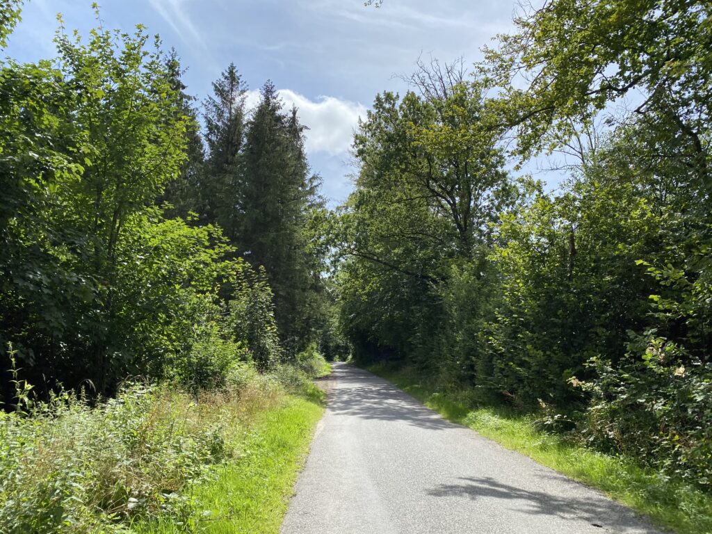
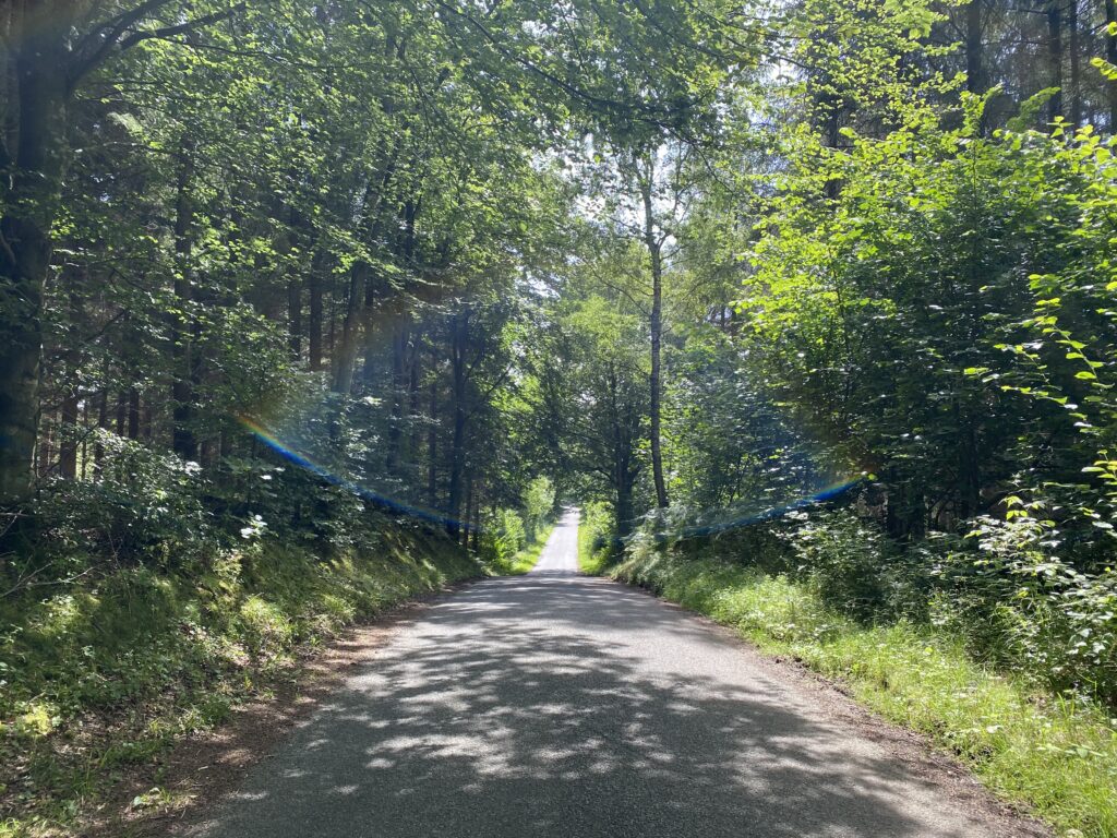
Once again we are hiking in a beautiful forest where the sun creates marvelous shadows on the forest floor. The gravel road is now called Kohavebakken. As we once again have to choose, we take a left and follow Kohavebakken which is a beautiful paved road. When the road splits again we choose the gravel road and are now on our way back into Ådalen. It is more hilly but we are surrounded by the most beautiful forest.
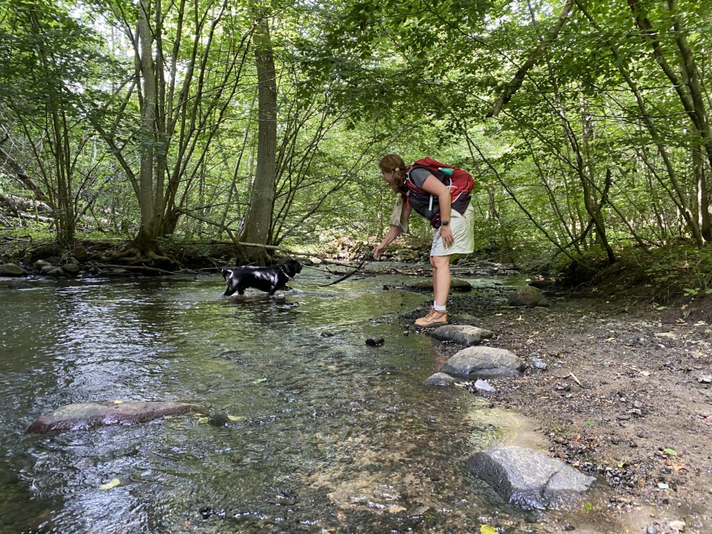
After only a couple of hundreds metres we come across the marked “hiking and bike road” and go left to follow it. We once again cross Brænde Å where our dog gets a little cool-off. The marked route wants us to go right but we go left down a dirt road and we now have metertall cornfields on both of our sides. There must be an incredible view of the fields in the winter when there are no crops on the fields. The dirt road ends in Kolleshusvej where we go right and follow it onto Kertevej. We go to the left and find our car by the church.
The hike is 10 kilometres long and there are plenty of small paths all around the area. It would be a good idea to set your GPS to mark certain outer points eller roadnames on the route so you can aim for them. Try your best because there are many beautiful paths. Visit Assens.
Click on the map below and it will open in Google Maps. From here, you can follow the route as you are hiking.

Special Thanks to Gunhill Nørhave for the inspiration for the hike in this wonderful area.


