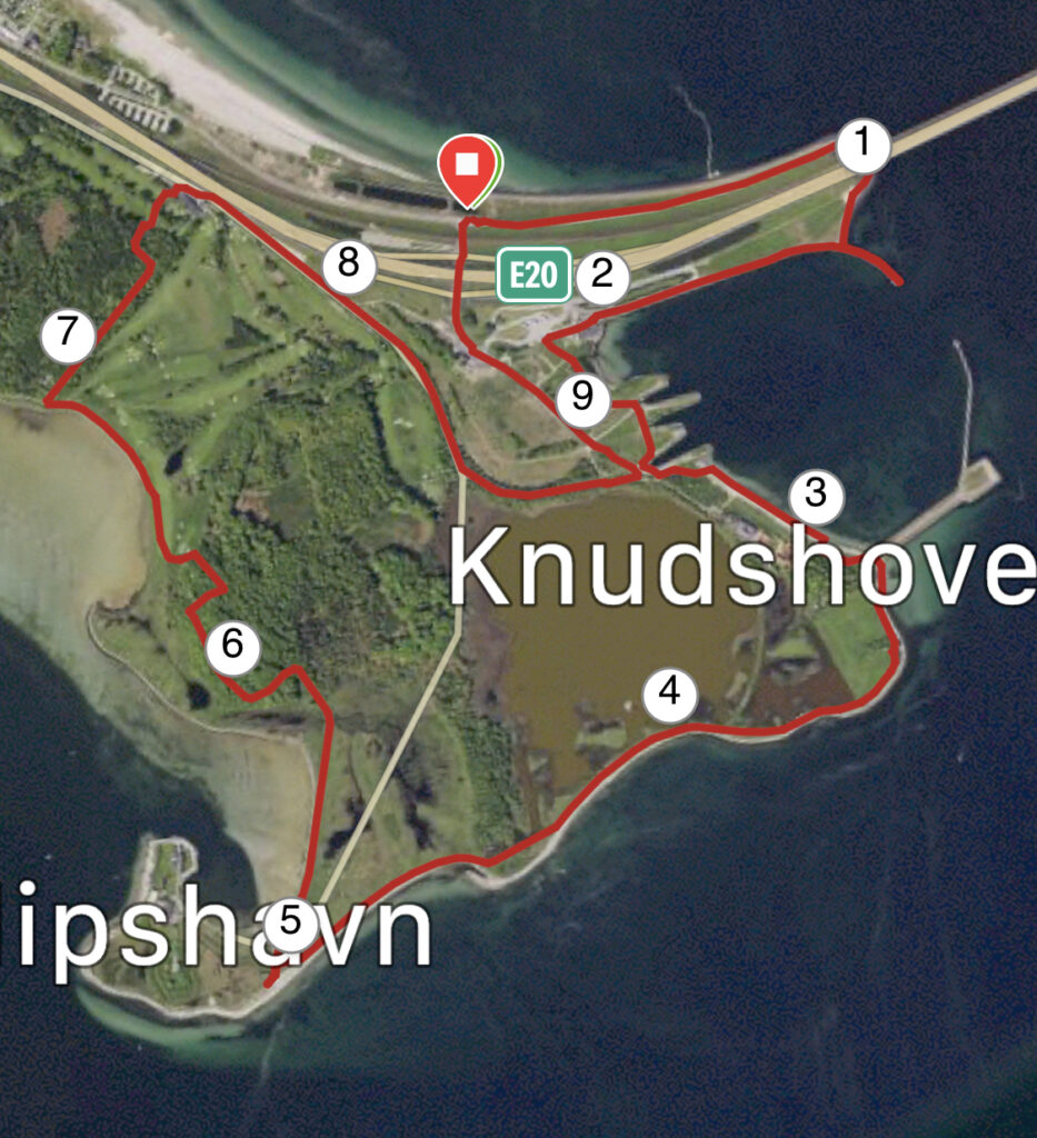
Knudshoved – Nyborg. 10 km.
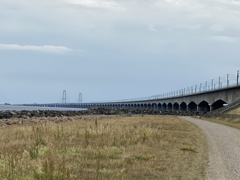
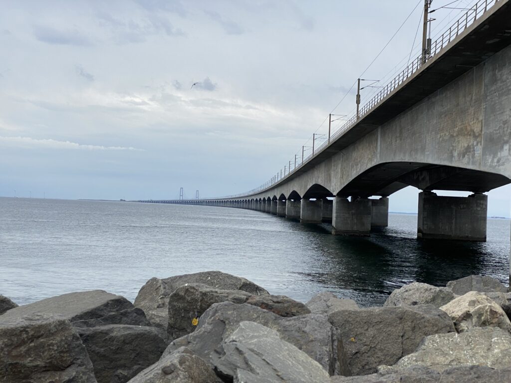
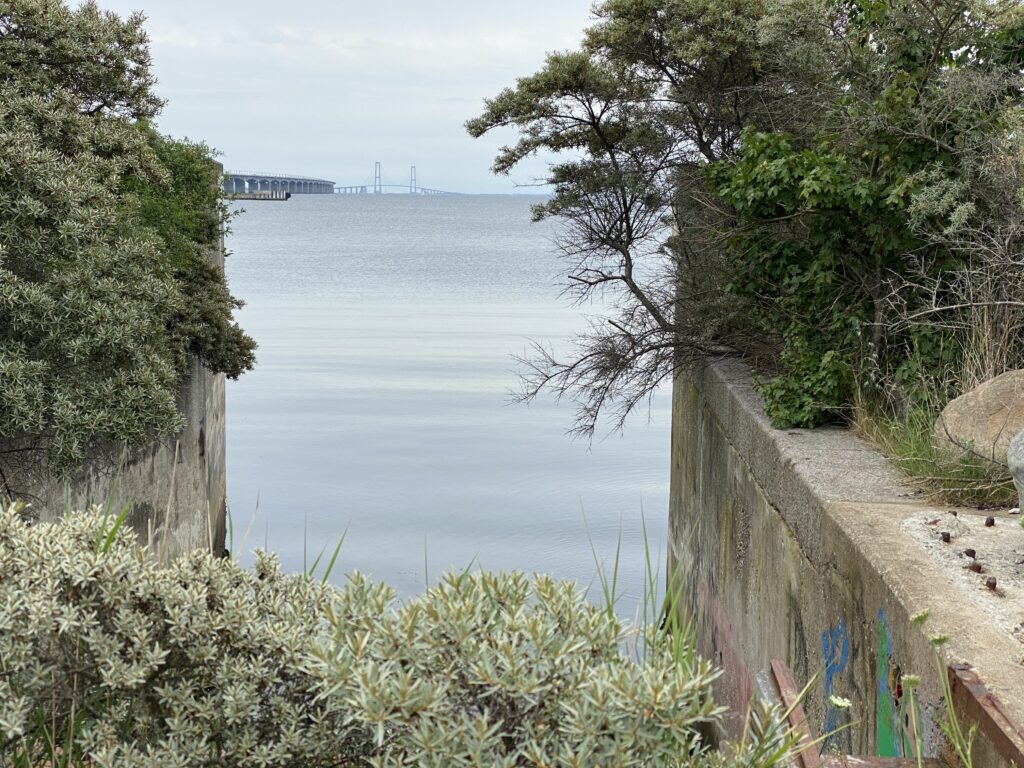
We set our GPS to Hjejlevej, Nyborg, drive past Nyborg Strandcamping and park the car in the small parking lot, just before the road turns right under the railway and the highway. From here we walk along the water, where the path goes under the Great Belt Bridge and goes towards Knudshoved Old Ferry Port.
On the way to the ferry port we take a quick detour to Nyborg Mole Nord, where there are usually people fishing. At the bottom of the ferry port we go around the cafeteria and then go left, so that we have the old port on our left. We follow the small paths and can see the old ferry berths on one side and the old carriageways on the gravel road with vegetation on both sides, where people stopped and waited for the ferries.
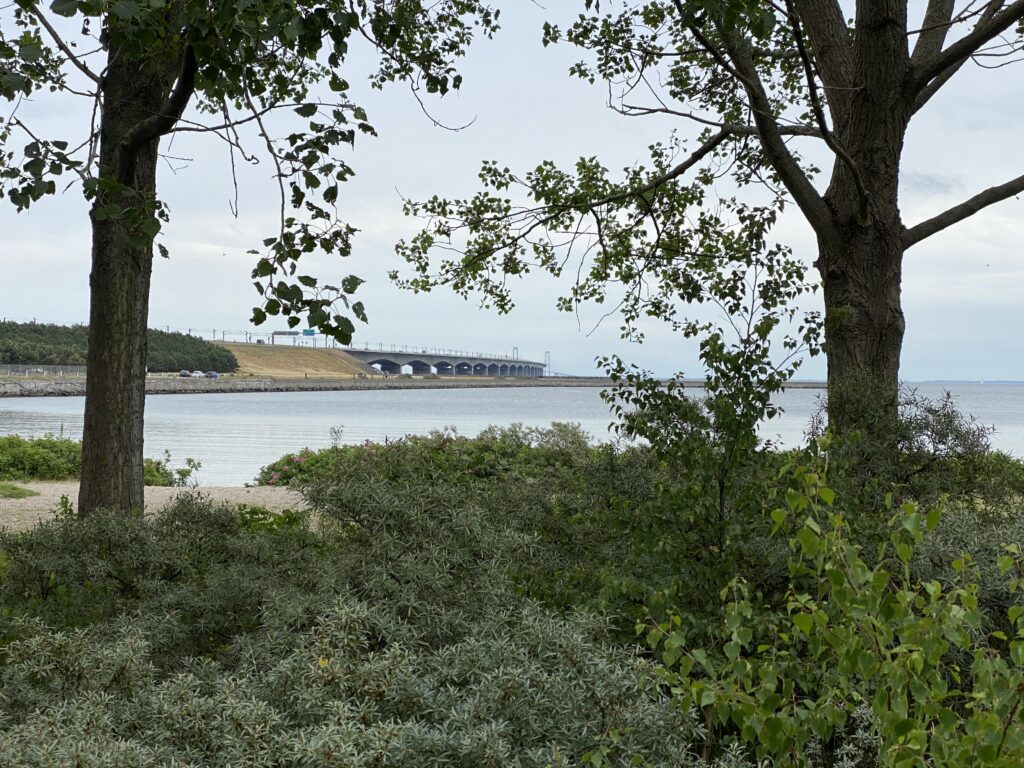
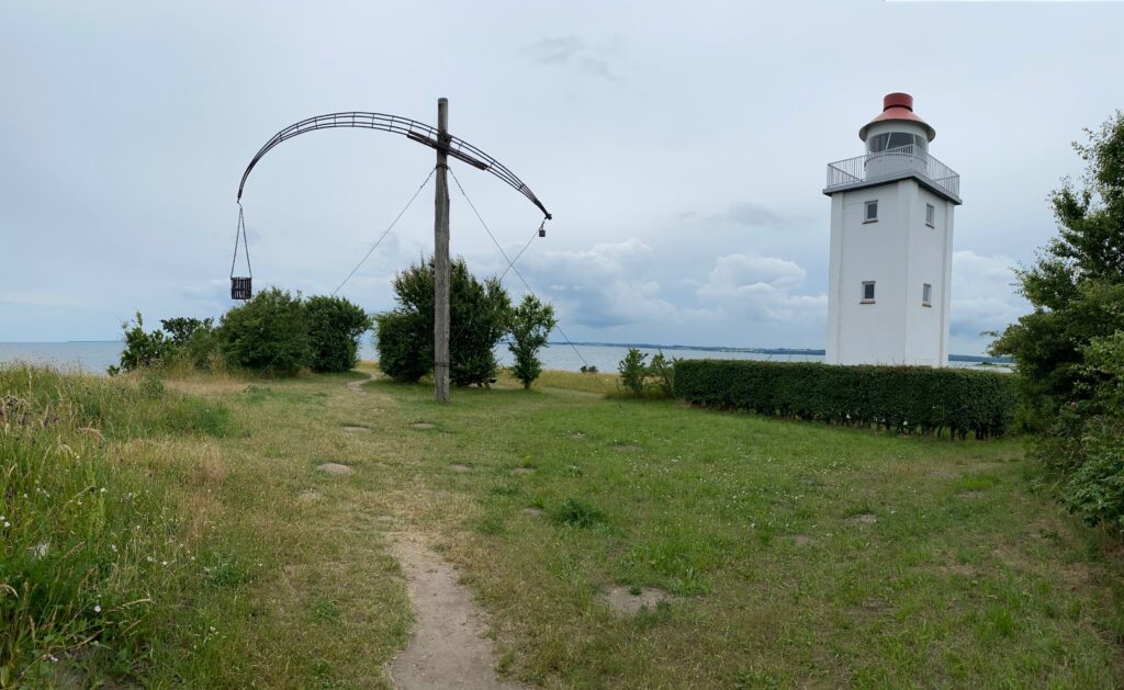
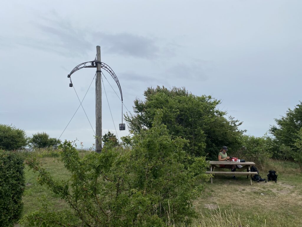
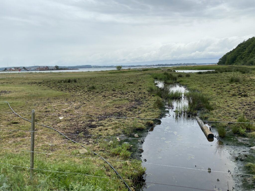
Just after the ferry docks we walk down to the beach and follow it past the Kursuscenter Knudshoved. We choose not to go out onto the pier here, but continue along the beach towards Knudshoved Lighthouse, where Denmark's only bang station står. Ved fyret er der et bord-bænkesæt, hvorfra der er den skønneste udsigt ud over et stort vådområde og helt over til Slipshavn. Perfekt sted at nyde kaffen.
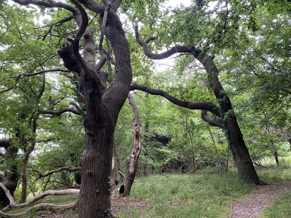
We continue along the coast towards Slipshavn, where unfortunately we cannot go all the way around, but go to the right – still with the water on our left. Across a beautiful heathland and as soon as we enter the forest, we go to the left of the first path.
We keep to the left as long as we can, and when we reach the edge of the forest we come across the golf course. Here we follow the coast again on the nature trail and with a nice view over Nyborg Fjord. Immediately after the golf course a field road goes to the right – the field road is called “Golfvejen” and extends all the way up to Sct. Knuds Golfklub, where we cross the fairway with great caution and go right onto Slipshavnsvej, which we follow until we can turn down Fyrvej. We turn left onto the first gravel road, which takes us through the rear access area and past Shell and along Hjejlevej back under the motorway and the track to our car.
The trip is almost 10 kilometers long.
Click on the map below and it will open in Google Maps. From here, you can follow the route as you are hiking.