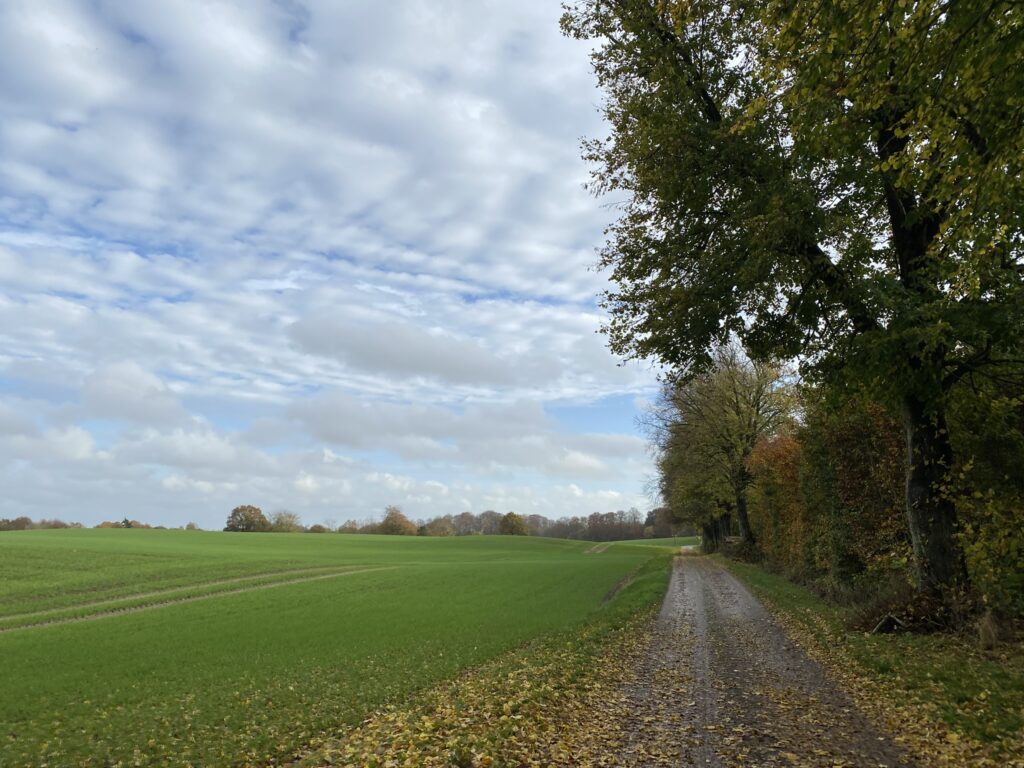
The Krengerup paths, Glamsbjerg. 14 km.
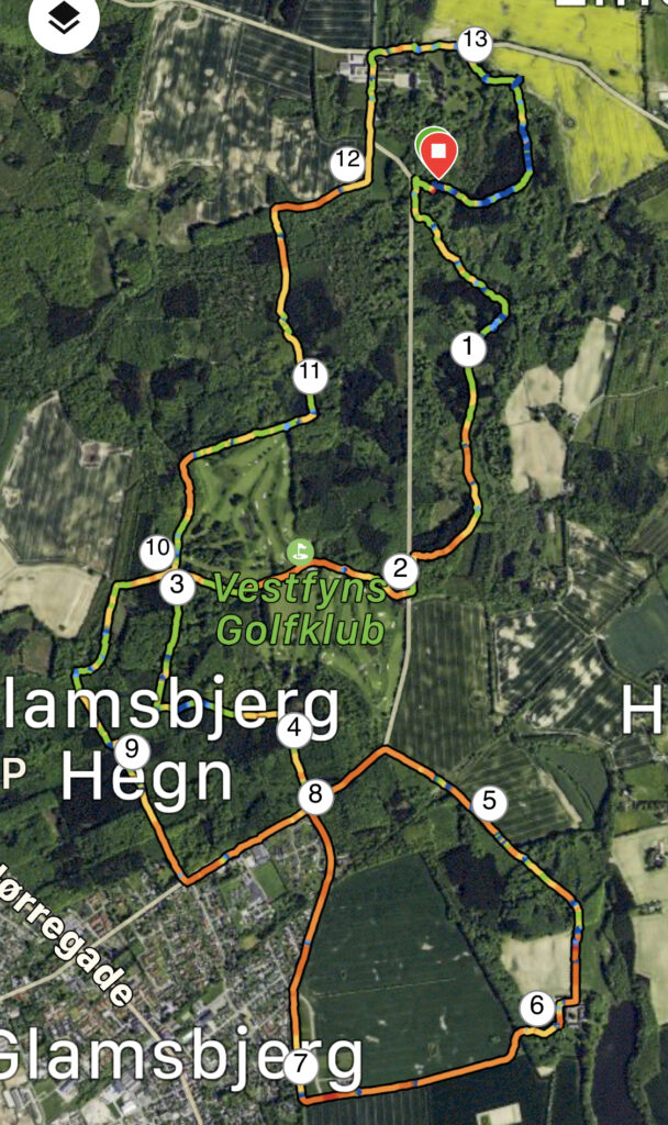
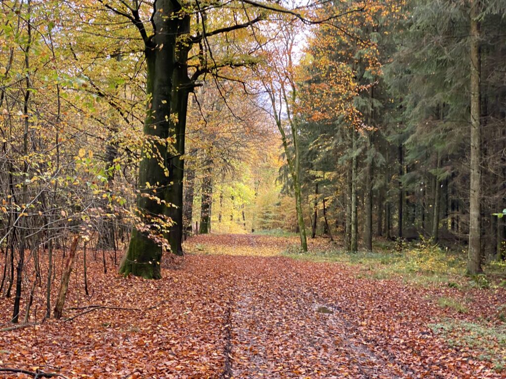
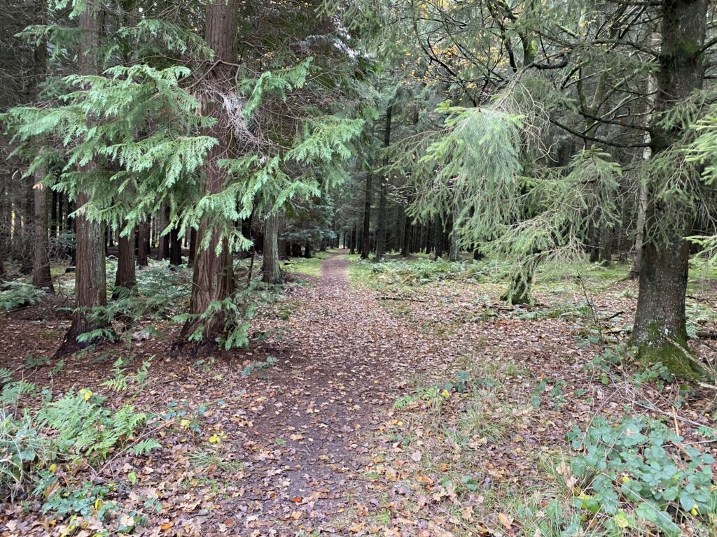
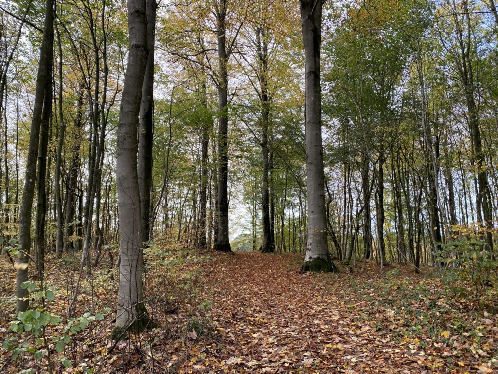
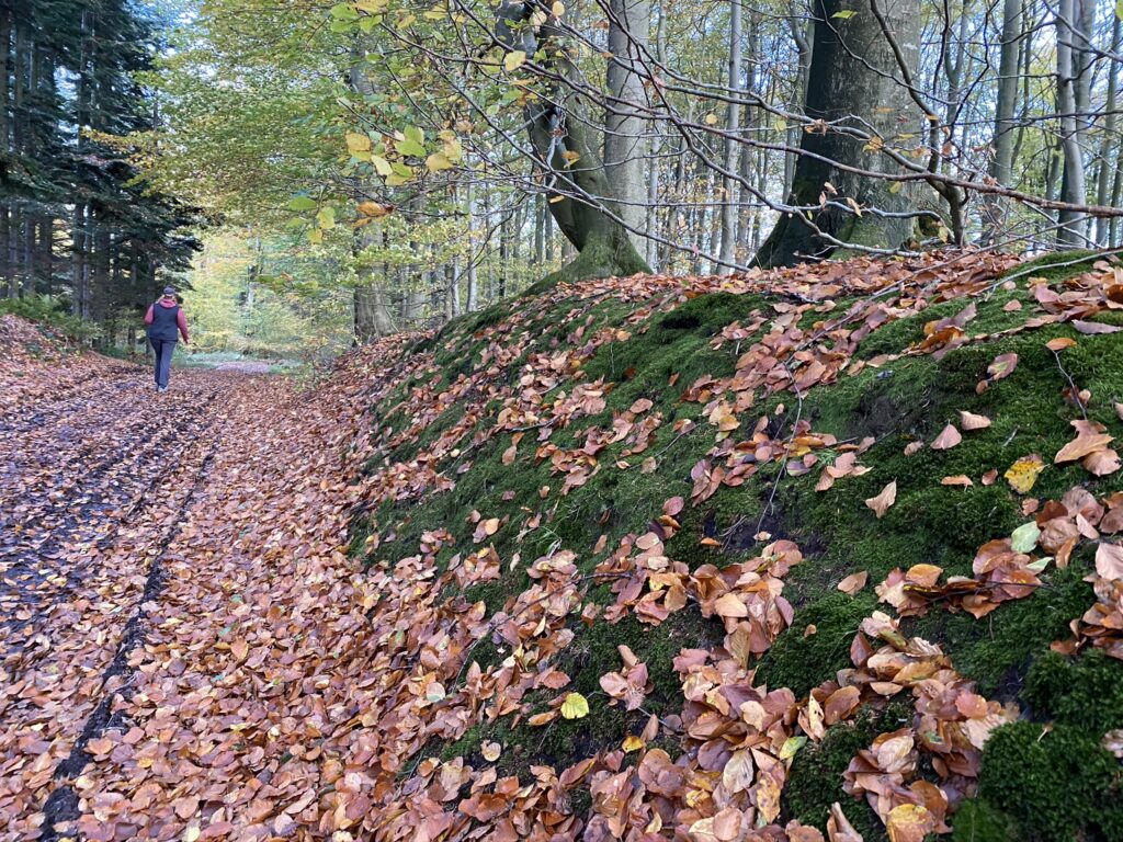
North of Glamsbjerg on Funen lies a large forest and in the northern part, you can find Krengerup Estate. Set the GPS to Krengerup Gods, find Krengerupvej and take a left turn down the first forest road. The road leads to a small parking lot, where we parked the car. The hike is mostly in the forest and in the fall, the colors are extraordinary. There are three routes called Krengerupstierne - red, yellow, and blue, but we have combined and expanded, so we have hiked a coherent route of about 14 kilometers.
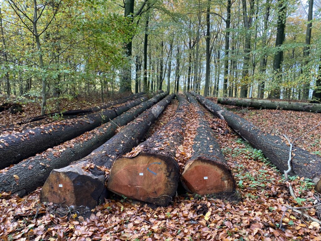
Hike from the parking lot and back to Krengerupvej. Take a left down Krengerupvej and follow it briefly until you find a path into the forest on your left. We are now on the yellow route. The first forest we hike through was made in the end of the 19th century and we can see the large, old trees in several places. We turn right down the second path and are now following the forest trail until we once again reach Krengerupvej.
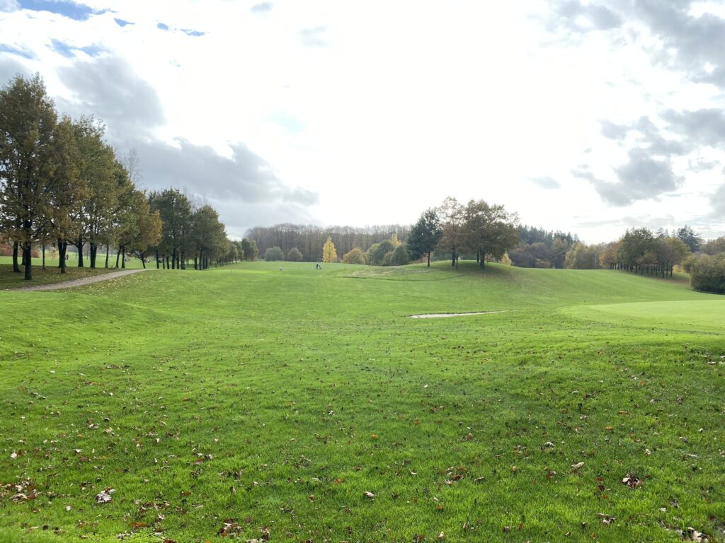
We take a left and follow Krengerupvej until we can make a right down the first road that will take us to Vestfyns Golfklub. We follow the path straight through the golf club and by the end of the golf club’s area, we come to a cross of paths where we take a left and leave the yellow route.
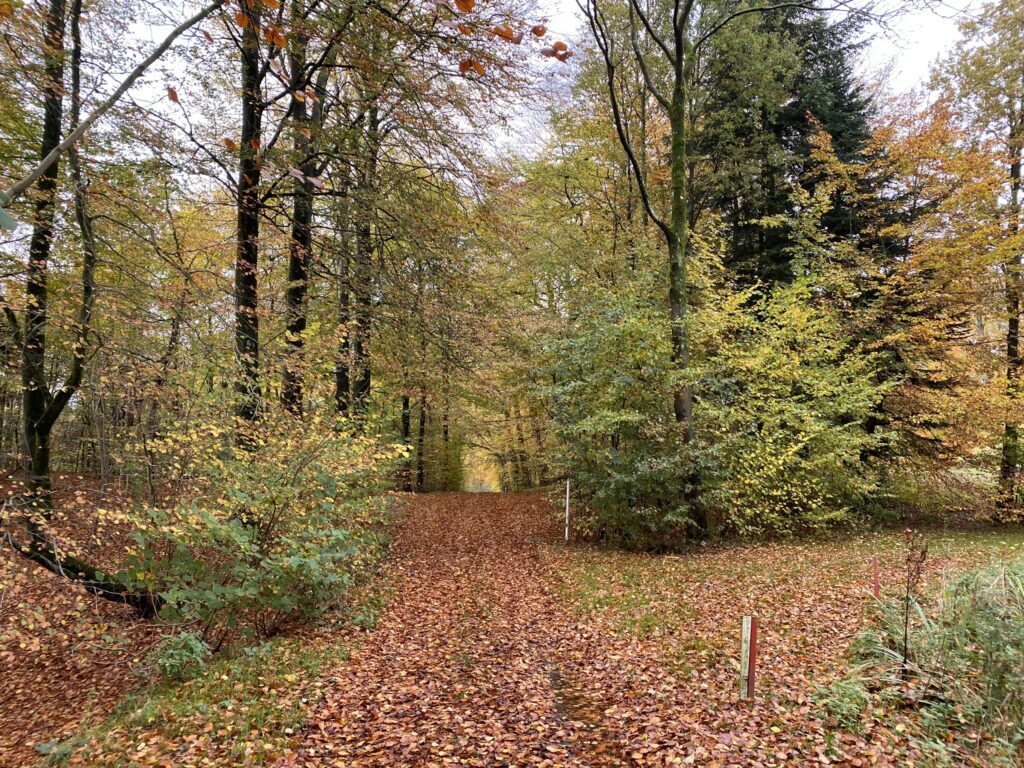
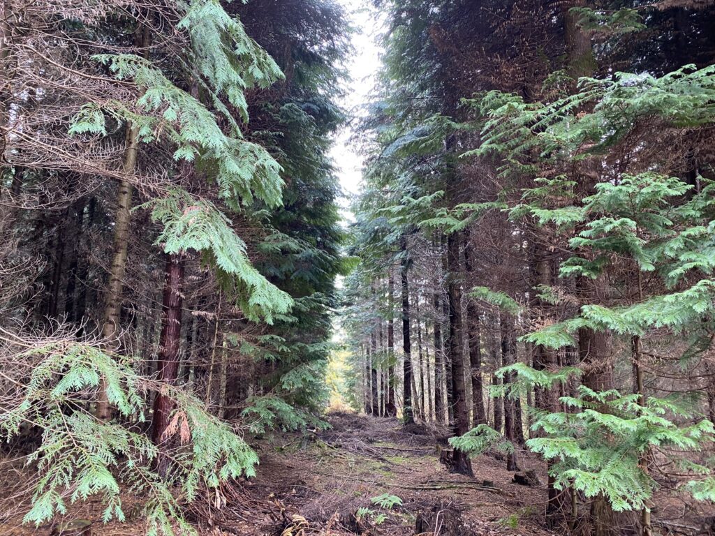
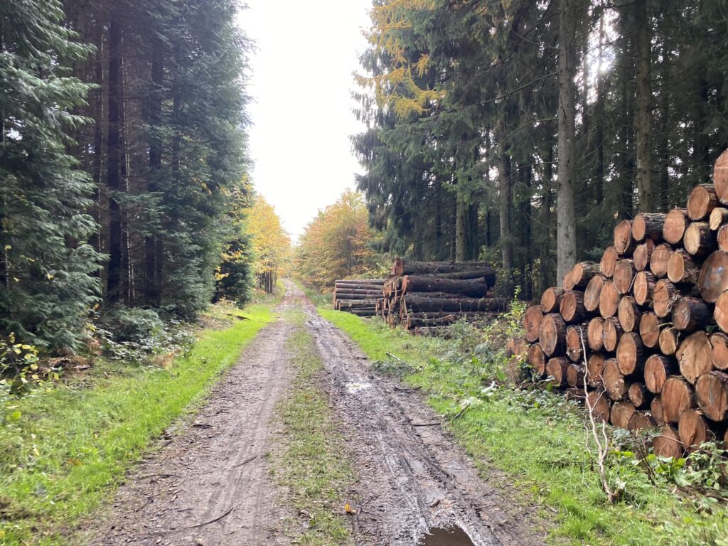
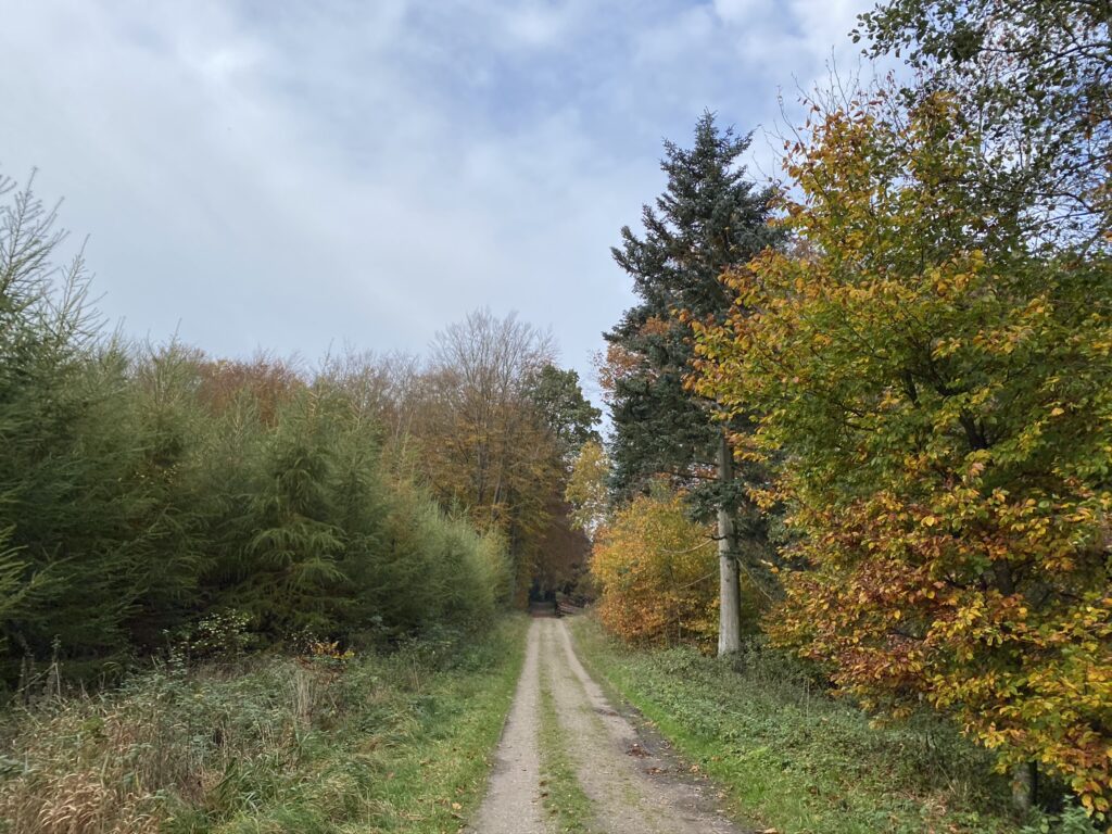
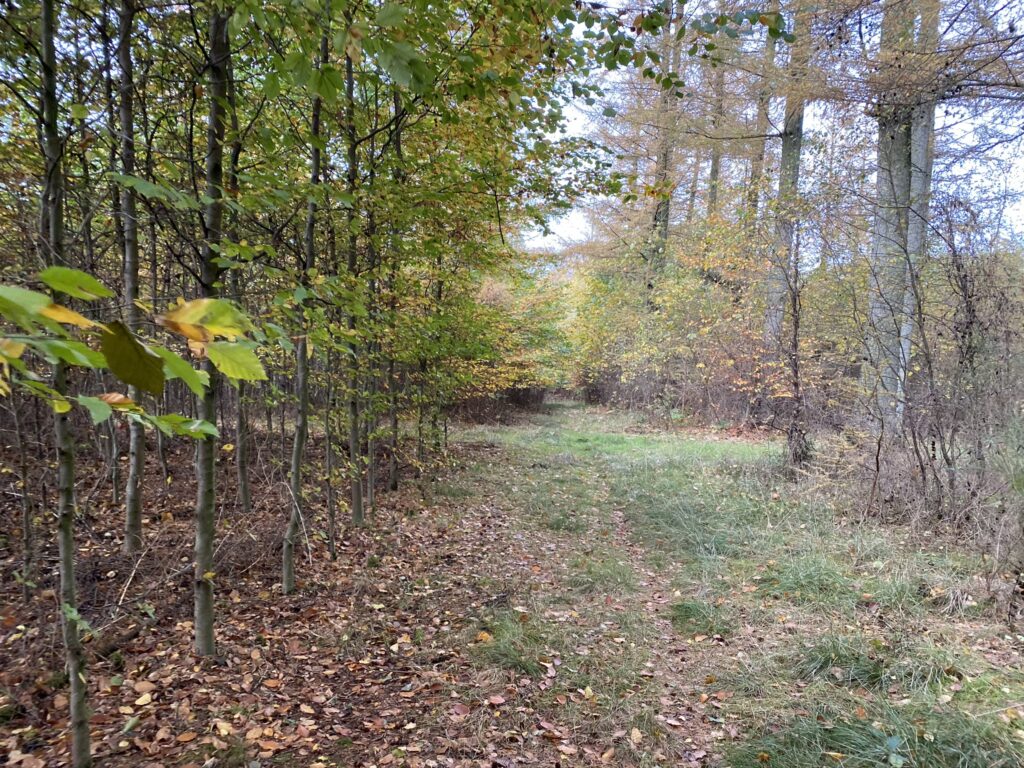
Now we follow the slightly larger forest road until it leads us softly to the right. Instead of following the road, we will make a sharp turn to the left and we are now following the blue route. The forest variates between spruce and leaves and especially the pine trees have amazing colors in October and November. If you watch closely there are more than a few beautiful scenarios.
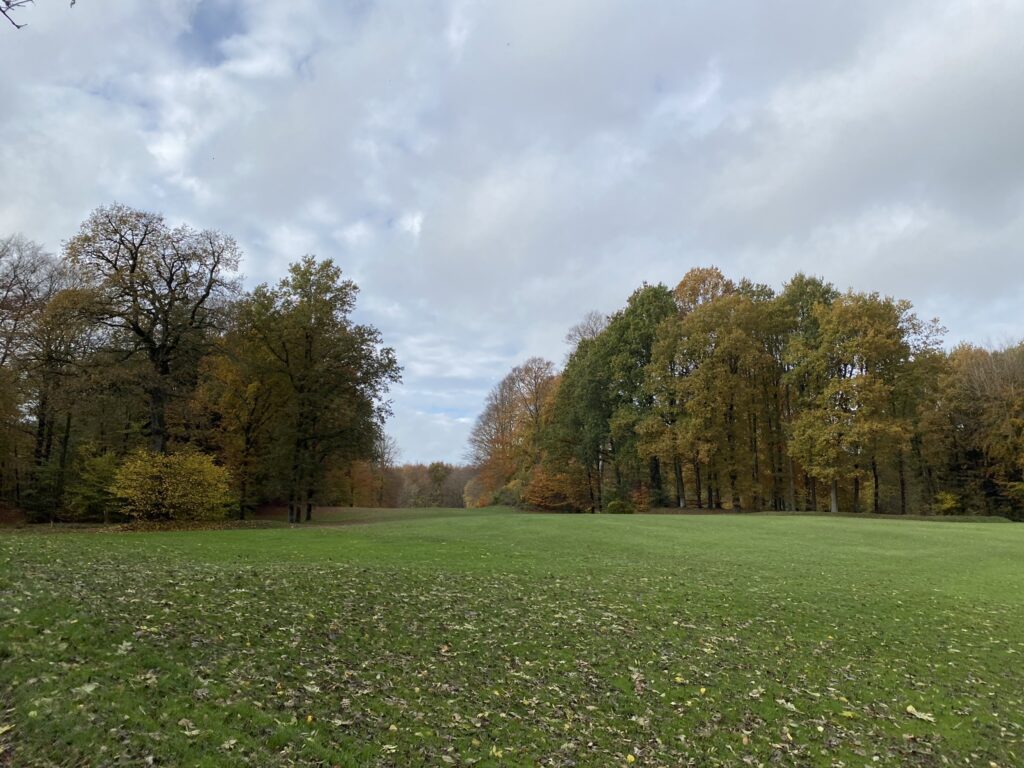
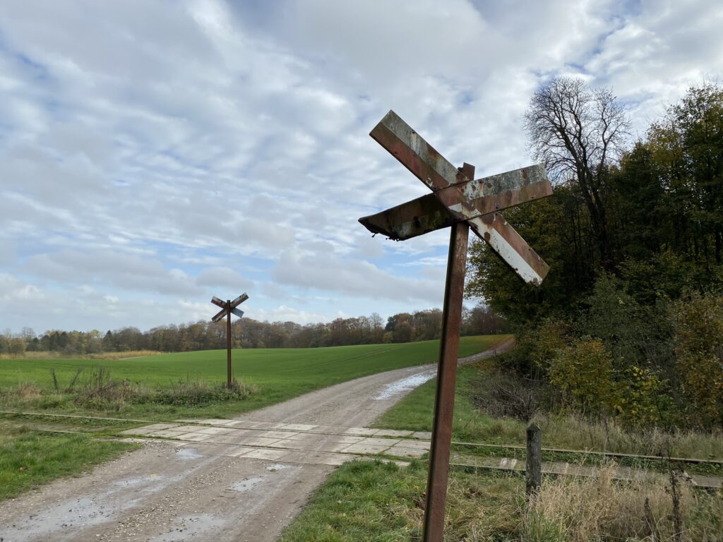
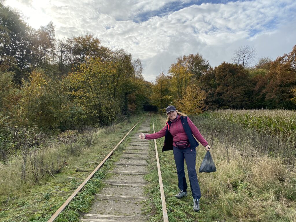
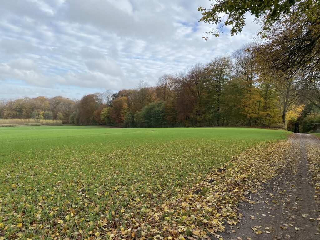
We follow the blue route until we reach Krengerupvej where we turn left. When the forest stops and turn into the open fields, we go right down Odensevej - a large dirt road. We cross the old railroad which is only used for rail bikes now. The view of the fields that are already green of the crops of next year and the trees with the many autumn colours is breathtaking.


Mens vi venter… 
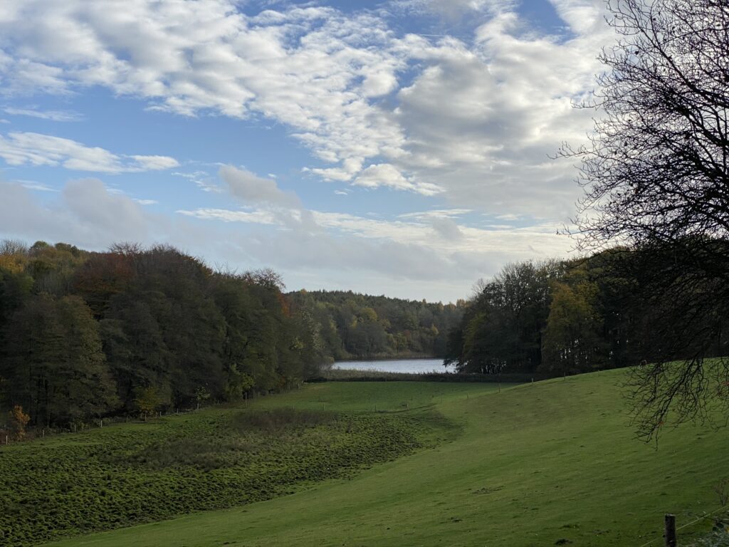
We continue along Odensevej and the blue route and are now hiking through Kalkerup forest, which was also laid out in the late 1800s. We follow the road to the right and come out to an open section where you can see Søholm Lake which was formed during the end of the last ice age by a meltwater river that ran below the surface of ice. We also have a lookout over the steep slopes before the lake. We follow the alley all the way up to Søholm (an old, Danish manor house which also belongs to the Krengerup estate), where we take a right around the manor house and follow the beautiful stone setting. Immediately afterwards we turn right into the forest and follow the forest road past the small white houses and the path across the fields.
When we have passed the field, we make a right - still on the blue route - and follow Oldgyde until we get to Krengerupvej where we go left. We follow Krengerupvej about 500 meters and then we take a right - still on the blue route. At first opportunity where the blue route goes right, we go left and immediately after about 20 meters, we go right onto a very small path. We stay on the small path until we reach a slightly larger path which we follow until we can make another right. Now we are and the end of the golf course where we came from the opposide side earlier.
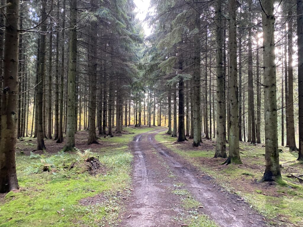
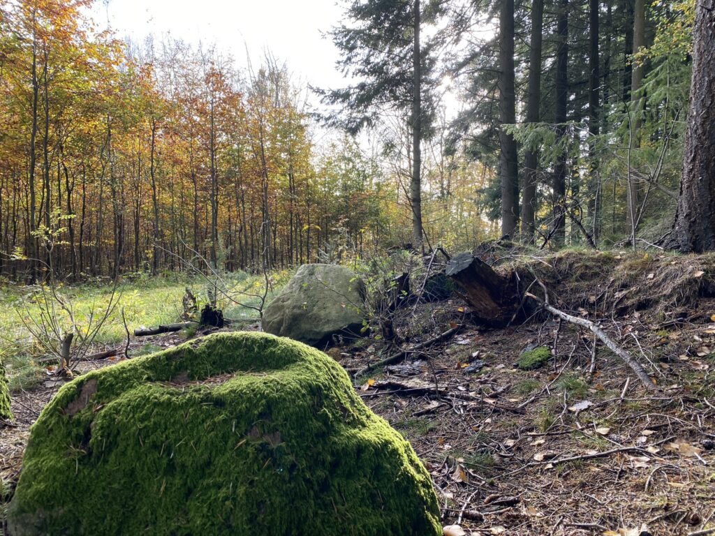
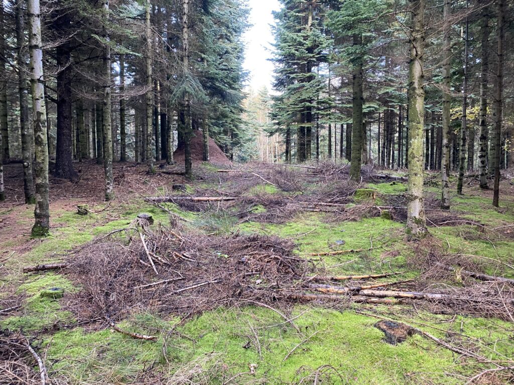
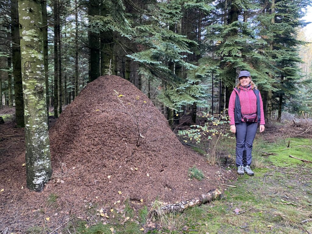
We make a left and are now on the yellow route and with the golf course on our right. By the end of the golf course the yellow route goes left - and so do we. As the yellow route splits with a soft turn to the right, we go straight left. For some time, we hike through a coniferous forest and notice the beautiful moss on the forest floor. We also discover the largest anthill we have yet seen. We continue along the yellow route until we reach the edge of the forest and then we follow the edge of the forest back towards Krengerup Estate.
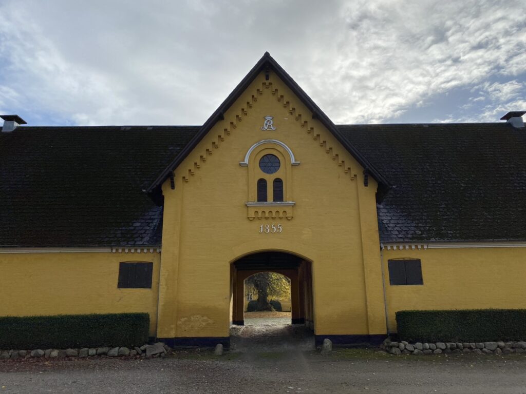
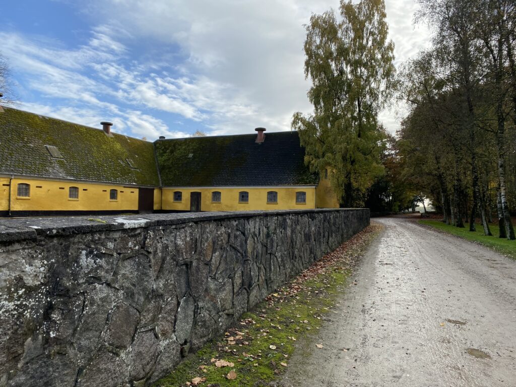
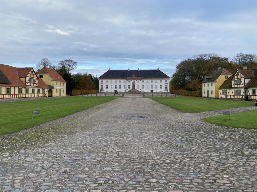
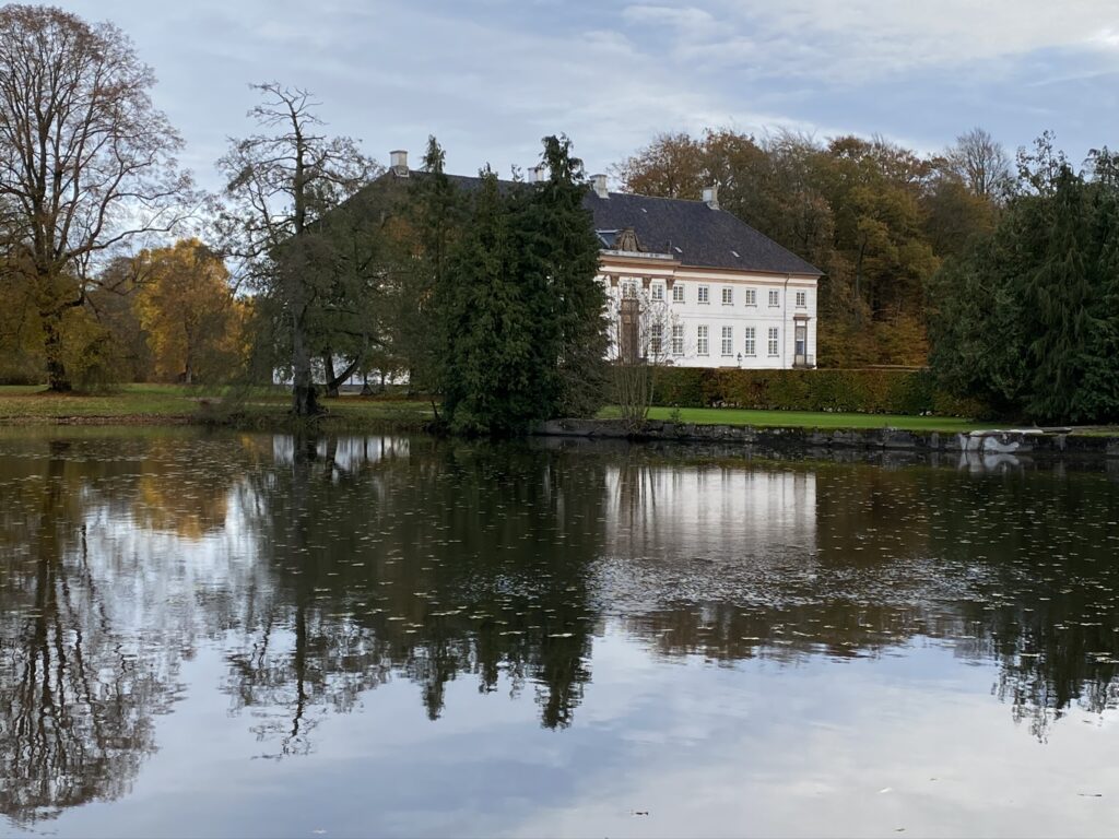
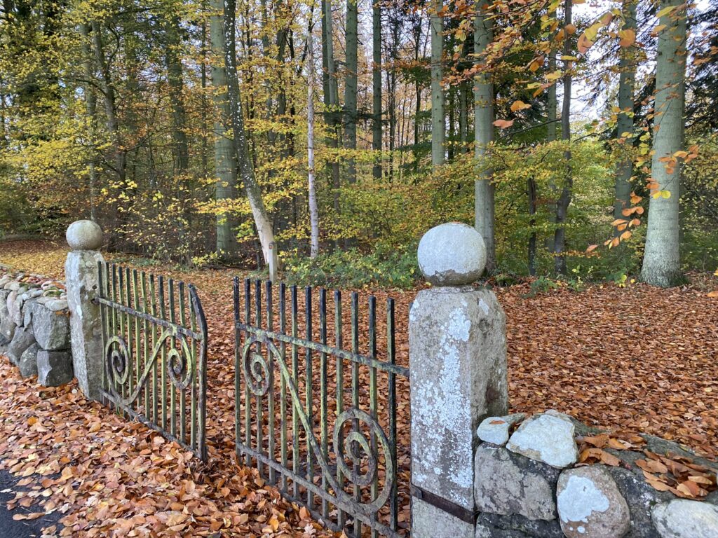
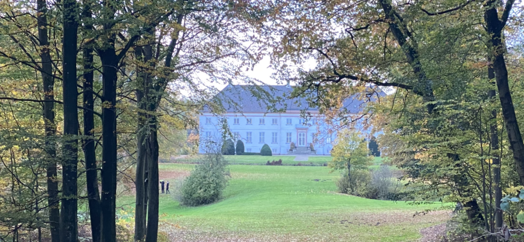
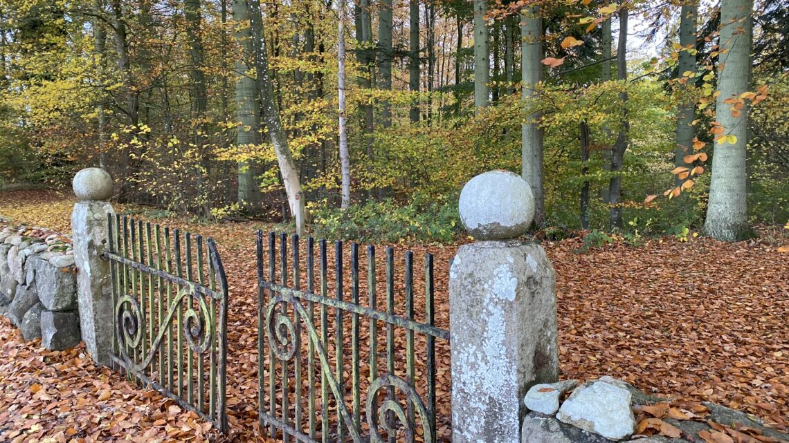
Krengerup Estate has a beautiful white main building and a thatched roof on the breeding farm. It was built in the 18th century. We go through the archway, across the topped cobblestones and enjoy the view of the well-maintained buildings before we exit through the other archway. Here we take a right turn down Nårupvej and we have now seen the estate and the park on our right. At the end of the park, we walk through a beautiful old wrough iron gate and follow the path into the park.
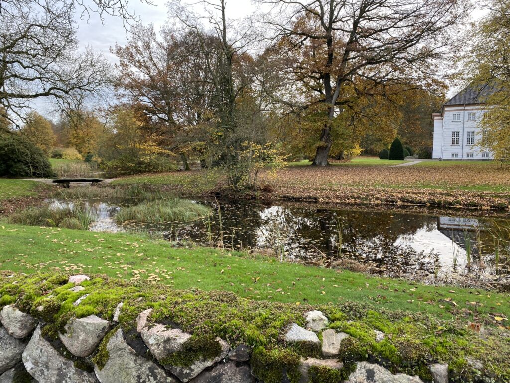
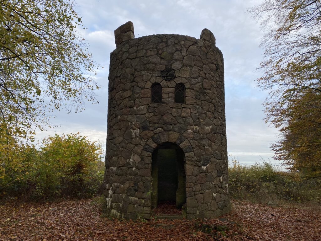
We are now standing in the park which is very well maintained. The beautiful main building lies majestically in the background and it is not difficult to imagine all of the extravagant parties that have been held on the estate and in the park. As we hike further into the park, we discover a tower at the foot of a hill. It turns out to be a 150-year-old water tower that has been built to look like a medieval defense tower.
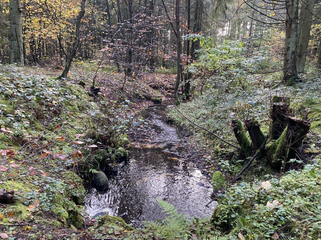
From the tower we now follow a forest road - the red route - around and back to the car. The forest road from the estate was very moist and slippery so we suggest going back through the park and go straight to the parking lot if it has been raining in the days before you take the hike.
The hike is 14 km long. There are no benches along the forests but there are plenty by the golf club where you can enjoy your coffee.
If you want to read more about what Assens has to offer, go to Visit Assens.
Click on the map below and it will open in Google Maps. From here, you can follow the route as you are hiking.
