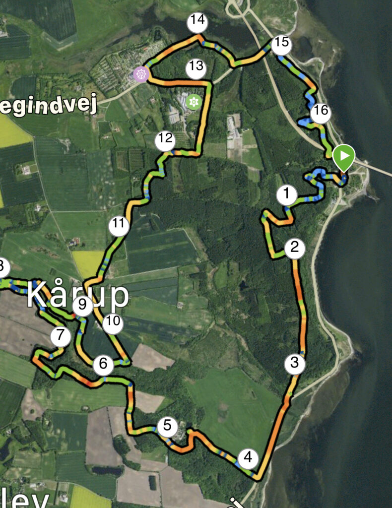
Mors: Legind Mountains. 17 km.
Located in the western part of the Limfjord is the island of Mors (or Morsø); you can reach the island by ferry or via one of the two bridges connecting Mors to Jutland. We have set our GPS for Sallingsund Færgekro, where we park our car right across from the inn, enjoying a beautiful view of Sallingsund and the Sallingsund Bridge.
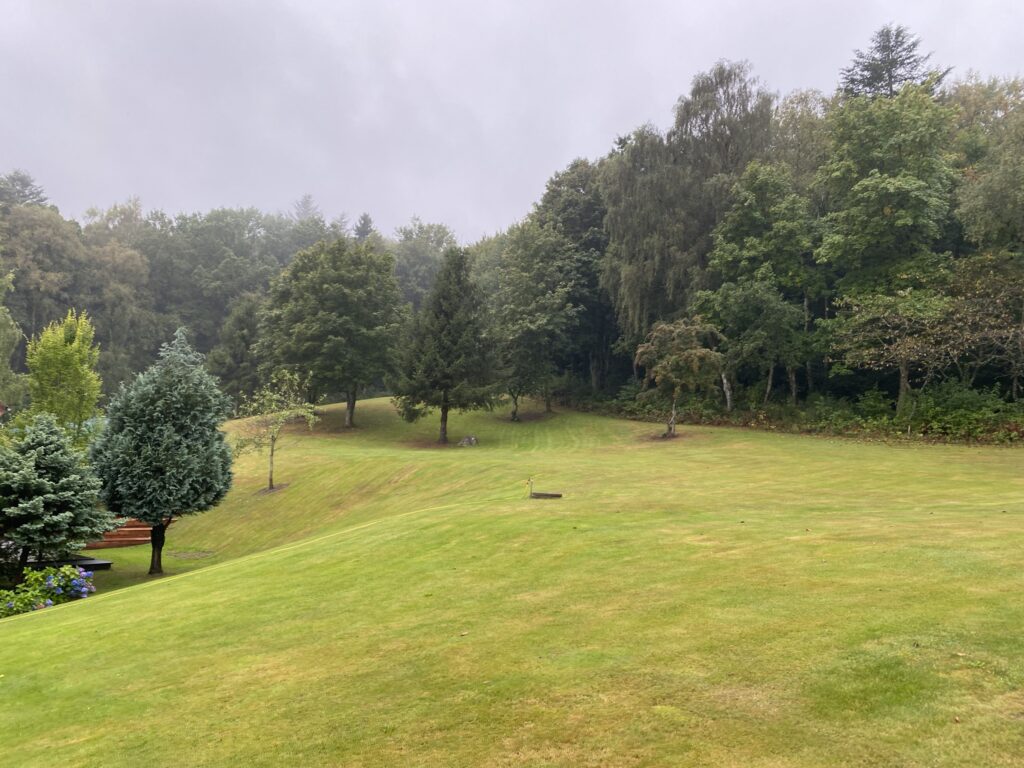
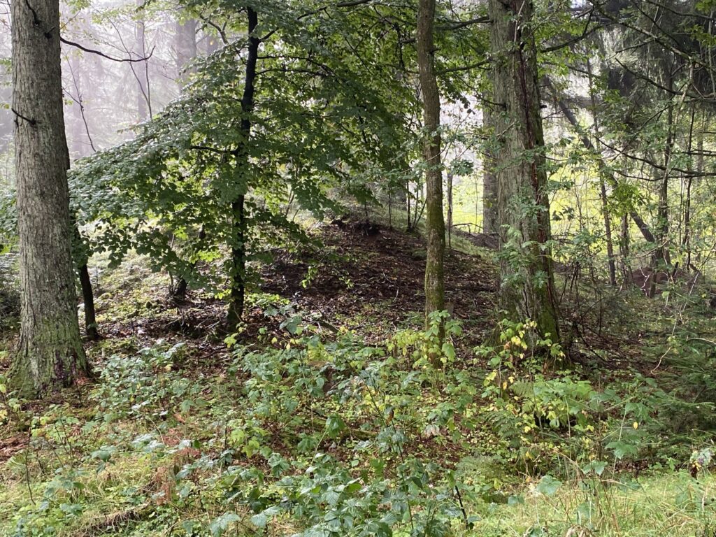
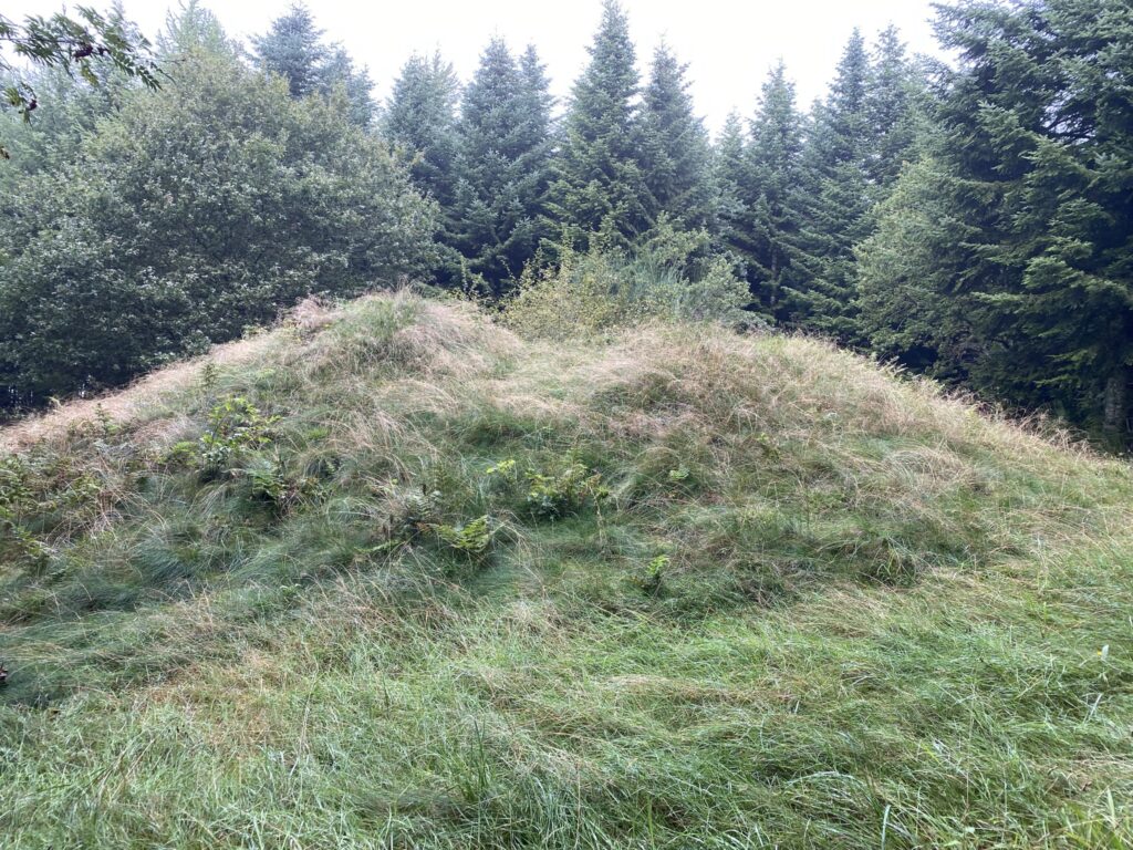
From the car park, we cross Sallingsundvej and head between the inn’s large buildings. We turn left across the lawn, where a faint path leads us up into the forest and the Legind Bjerge hills. The forest is crisscrossed with both mountain bike tracks and hiking trails, but we are on the lookout for ancient burial mounds. We follow the path straight into the woods but soon make a sharp left turn back towards the water, passing Sundhøi, only to turn right again and head up towards Ashøi. Upon reaching a junction, we turn left and walk past Røverstue, another burial mound.
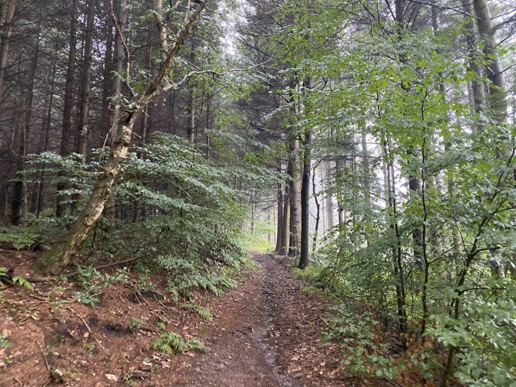
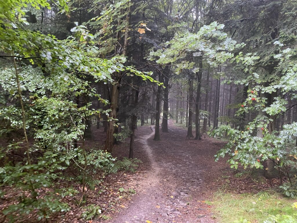
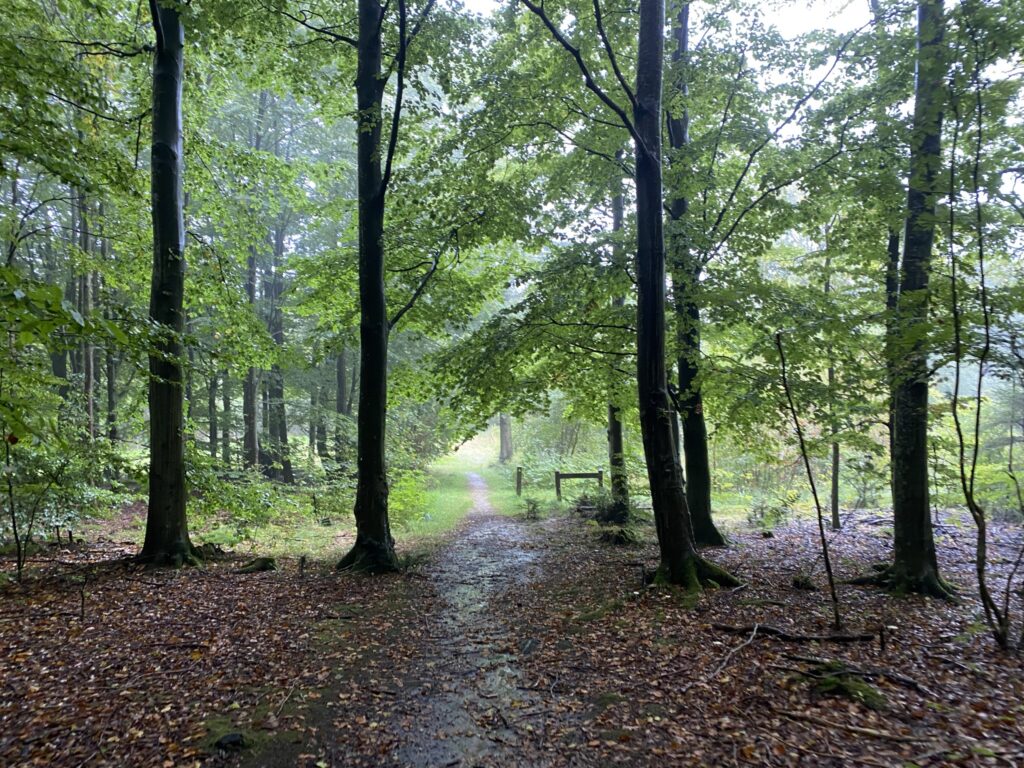
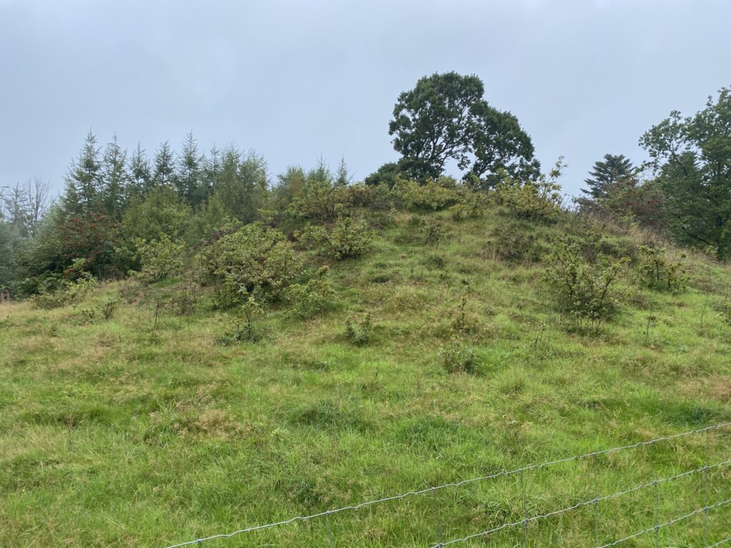
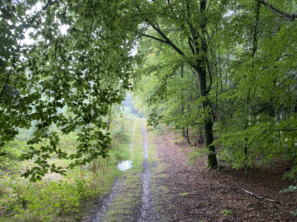
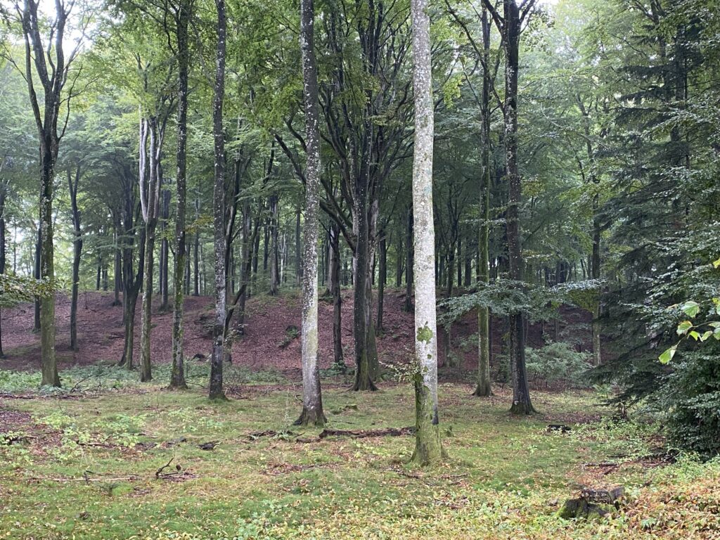
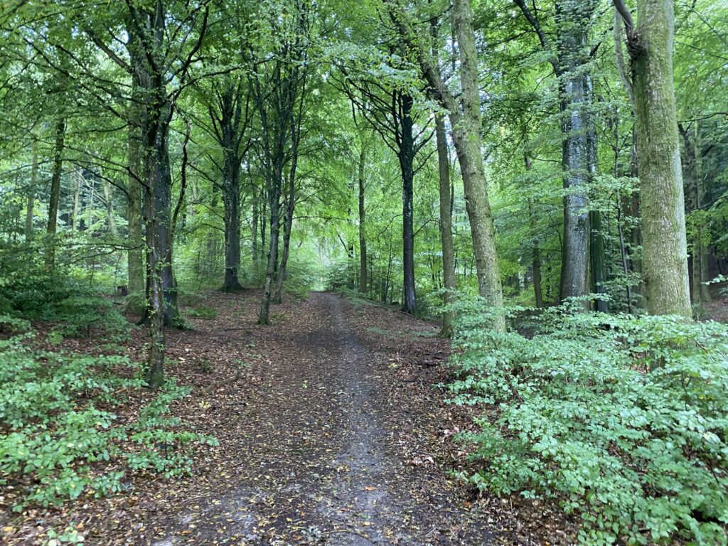
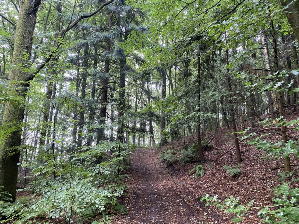
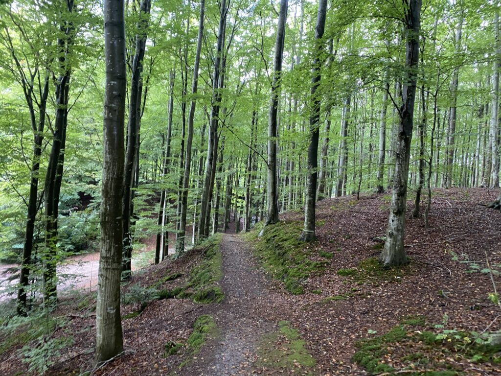
We continue our journey through the beautiful forest, which is still wet from the rain that fell during the night and morning. The path is now surfaced with fine gravel. After just over 1.8 kilometers, we turn left onto a smaller forest path, which we follow for about 100 meters before turning right onto a slightly larger forest track. The track consists of two wheel ruts and leads us through a diverse array of trees—ranging from conifers and birches to beautiful beech trees. We follow the path for the next kilometer, passing another burial mound along the way. The track continues through this green paradise, and after just over 3 kilometers, we can glimpse light ahead.
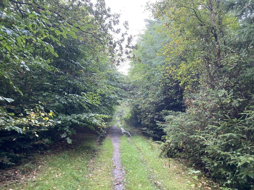
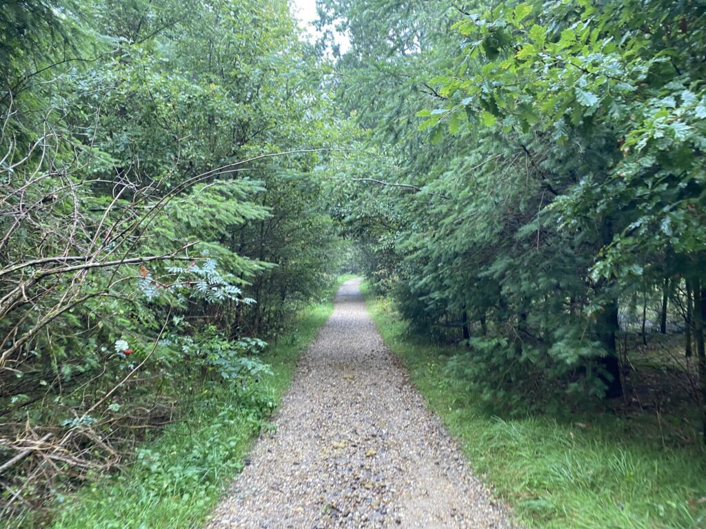

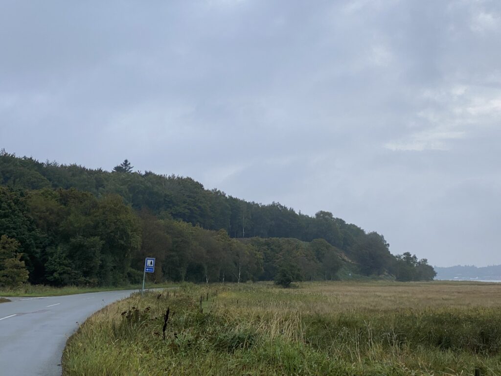
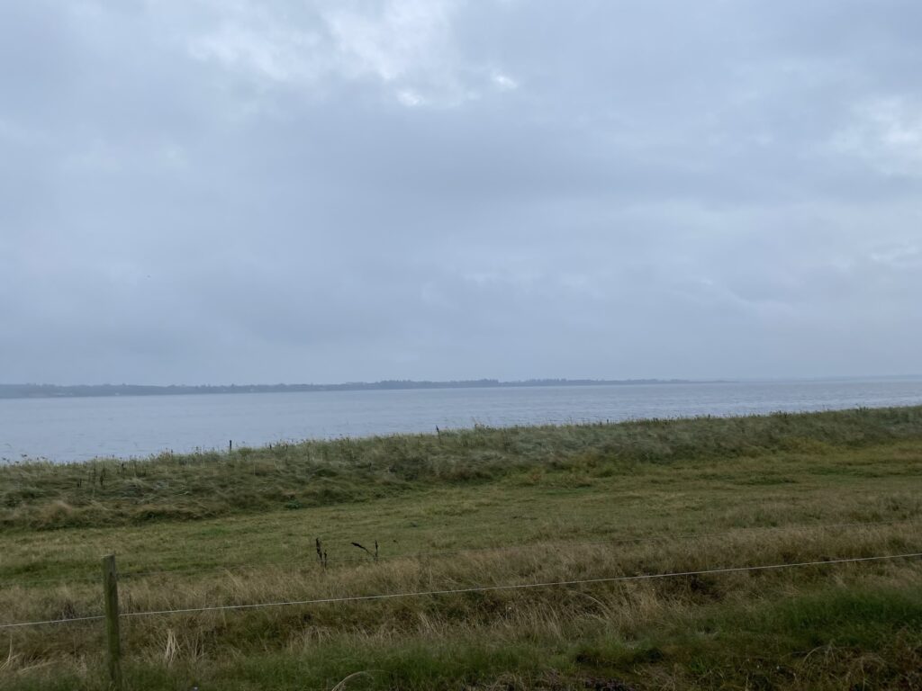
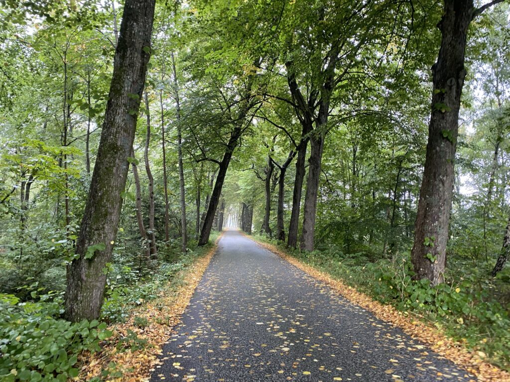
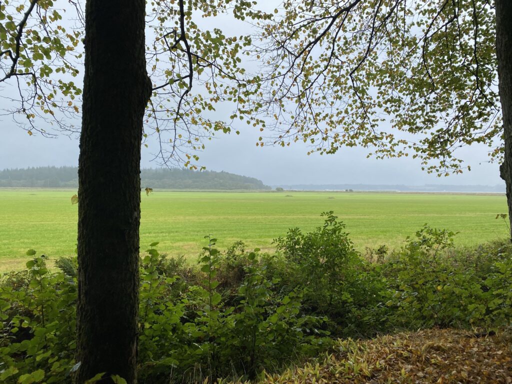
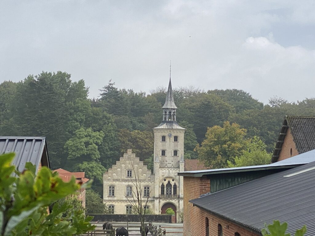
We emerge at the car park by Skræppedalsvej, which we follow to the right. It is worth looking back to get a sense of the difference in elevation between the water and Legind Bjerge. We follow Skræppedalsvej for just under a kilometer, enjoying the beautiful view over Sallingsund. Then we turn right onto Højrisvej, which leads us up towards Højriis CastleHøjrisvej is a beautiful avenue lined with gnarled trees, but it also offers lovely views of the forest to the left and the open fields and water to the right.
We follow the road curving to the left around the castle, yet still manage to catch a glimpse of the beautiful structure. The road winds gracefully as the slopes rise up along the sides.
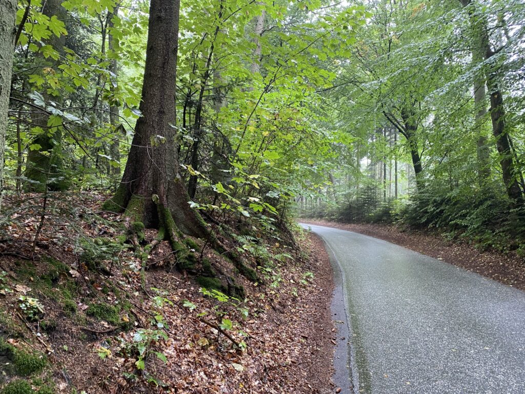
As we emerge from the forest, we turn left onto Lillerisvej, and after just over 400 meters, we reach Lillerisdalen, a valley landscape approximately 4 kilometers long. The valley is traversed by the Lilleris Møllebæk stream.
Before heading into the valley, there are a few things to note: First, the path is difficult to traverse in several places. Second, the return route from the furthest point passes through a large cattle enclosure; and third, the route through the enclosure is unmarked, requiring you to duck under the fence wire in several spots. In other words, the return leg is a bit of a scramble. You can avoid this by walking to the end of the valley and simply retracing your steps if you prefer not to cross the enclosure. Alternatively, you can continue straight along Lillerisvej, which shortens the walk by approximately 4 kilometers. The walk through the valley itself is highly recommended!
We choose to take the approximately 4-kilometer-long circuit, starting out on a lovely, wide, two-track forest road that winds and curves along the narrow valley bottom.
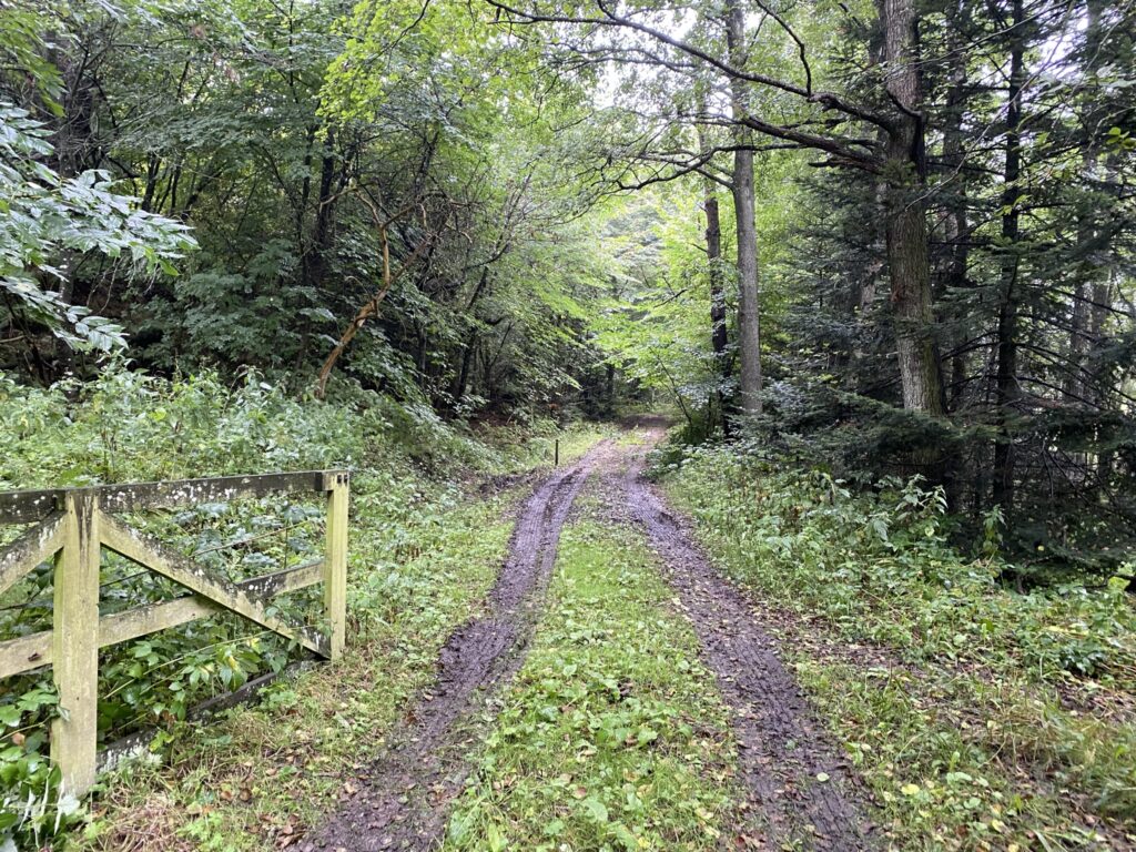
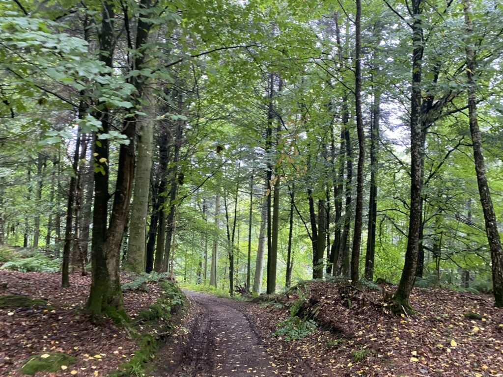
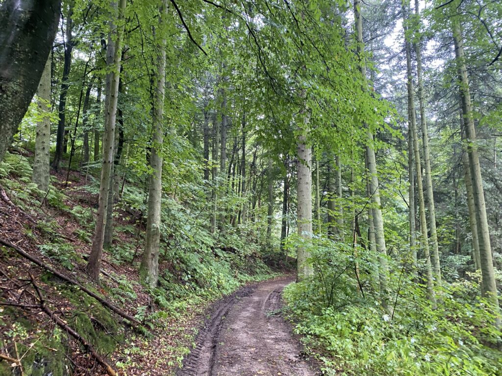
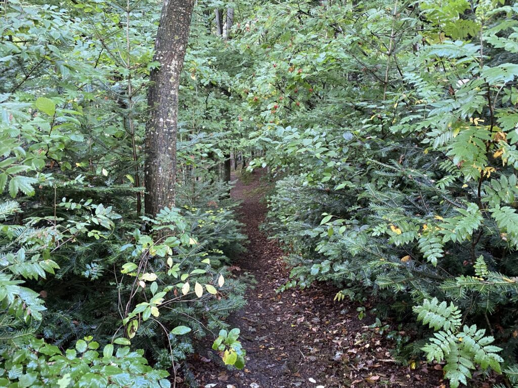
The forest track gradually turns into a path the further we go into the valley, and we end up walking along a trail that is barely visible but very idyllic. Suddenly, we come to a large clearing in the forest where we can look down into the valley on both sides. It is an incredibly beautiful sight that makes the trip worthwhile.
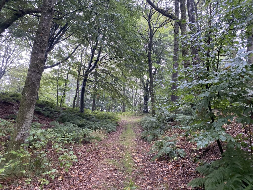
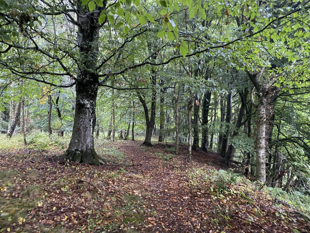
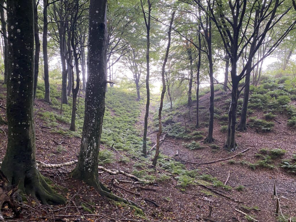
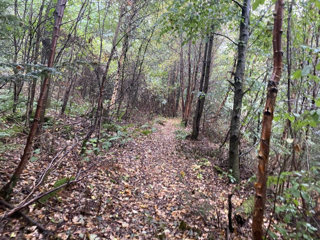
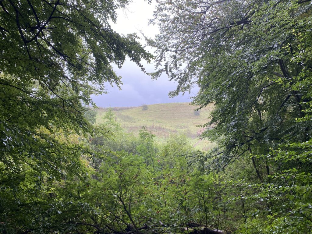
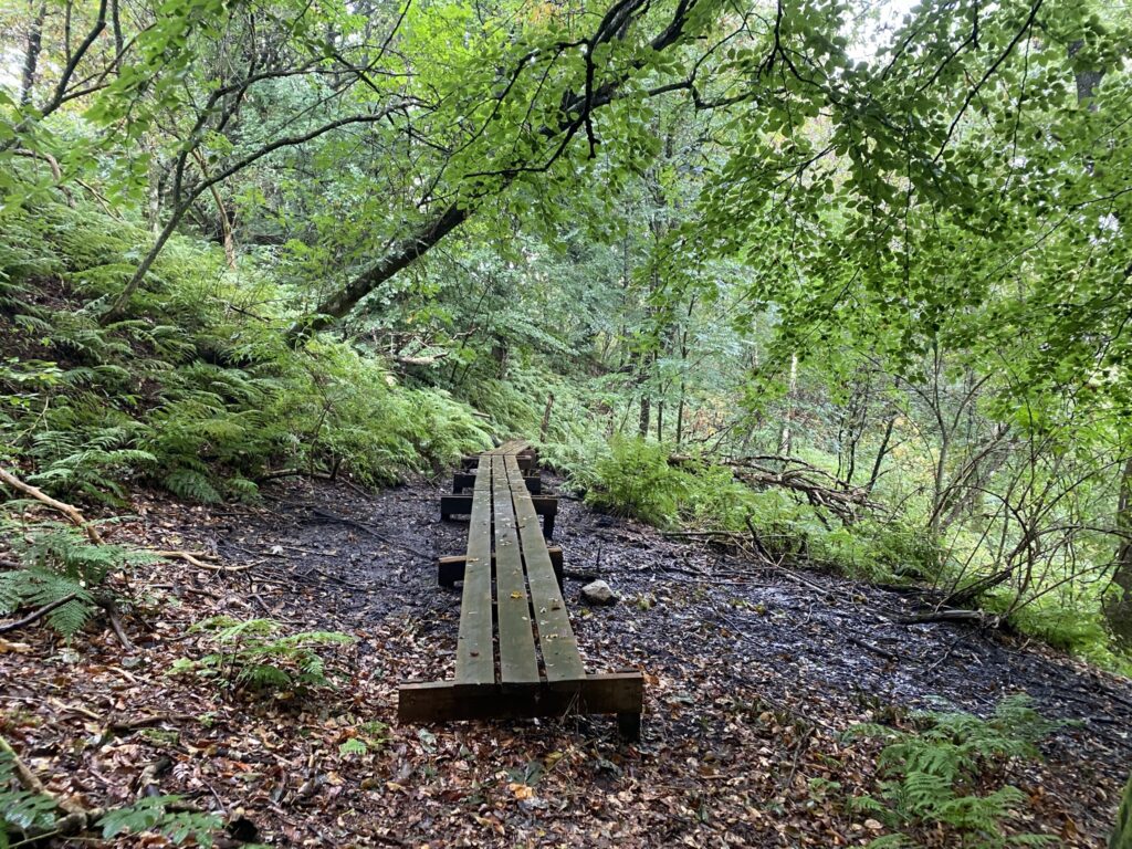
We continue down the hill and up the other side, where the path is now barely visible in places. The forest is quite dense in parts, though we do get a lovely view over the fields here and there. The forest floor is so wet in places that boardwalks have been laid down to allow us to pass. Just before reaching the end of the long valley, we walk along its edge, where the path proves to be quite a challenge; in several spots, we find ourselves sliding sideways down the slope. Nevertheless, we manage to navigate around both the end and the bottom of the valley without falling.
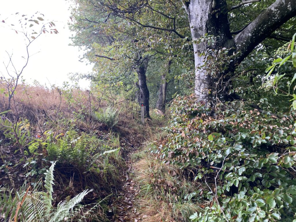
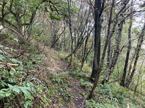
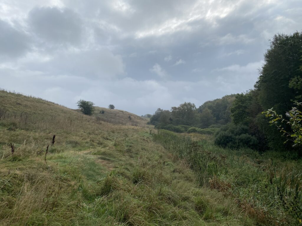
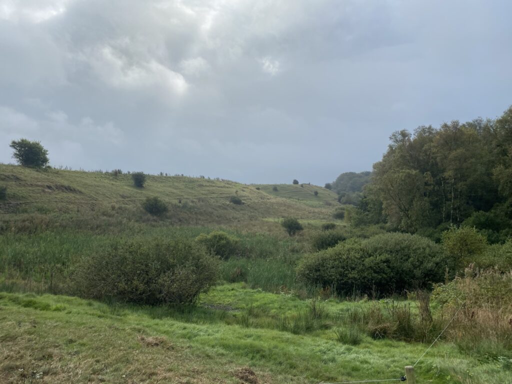
We cross a small bridge and enter an enclosure, following the valley back the way we came. The landscape is incredibly beautiful, even though there is no clearly marked path to follow. For the first kilometer, we walk as high up the terrain as possible; at one point, we decide to step out of the enclosure because we spot a herd of cows that we would otherwise have to walk right past. Once we have bypassed the herd, we re-enter the enclosure and follow the vegetation until we emerge back onto Lillerisvej.
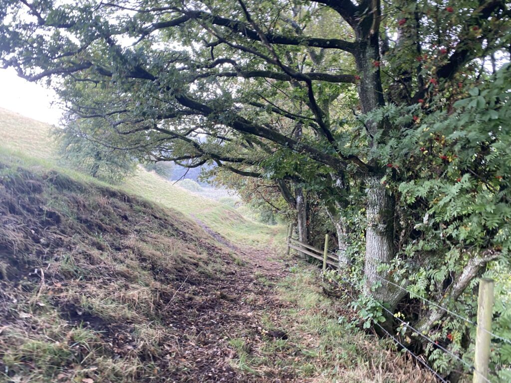
Once out on Lillerisvej, we turn left. We turn off at the third road on our right, and just before the farm, we turn left, walking with fields and burial mounds on both sides. At a junction, we turn right and then left again onto the first road.
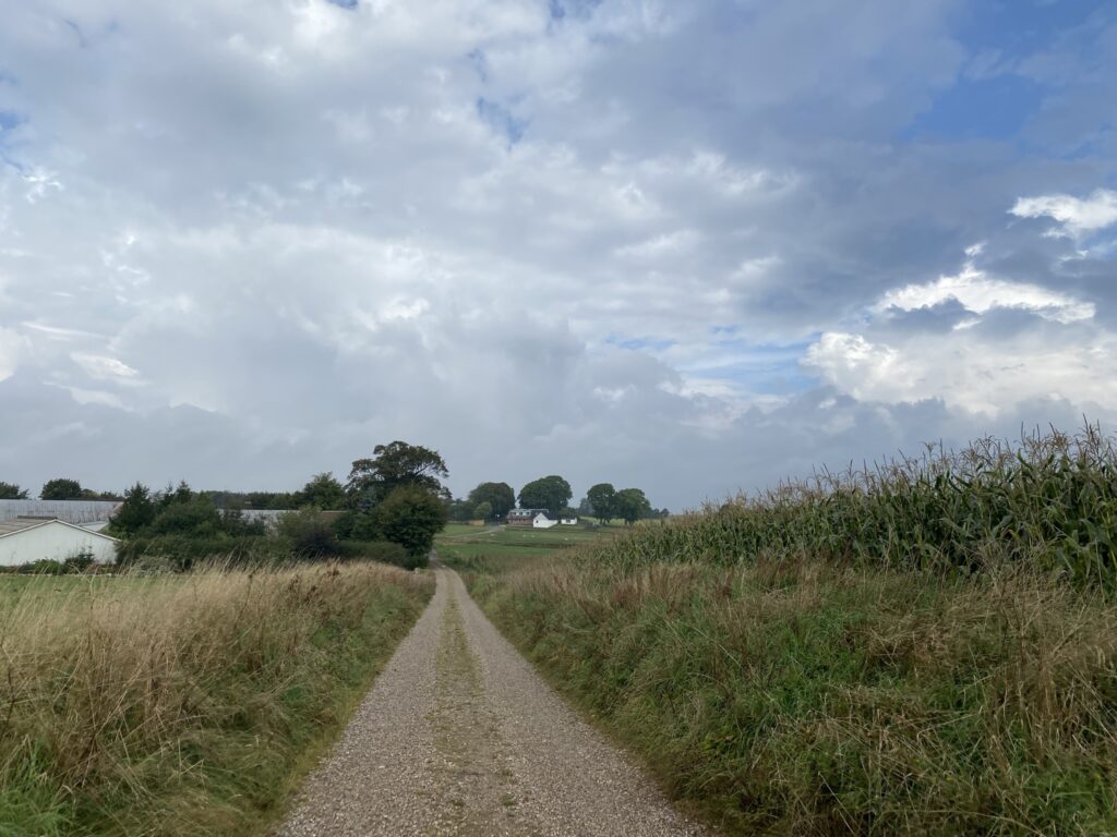
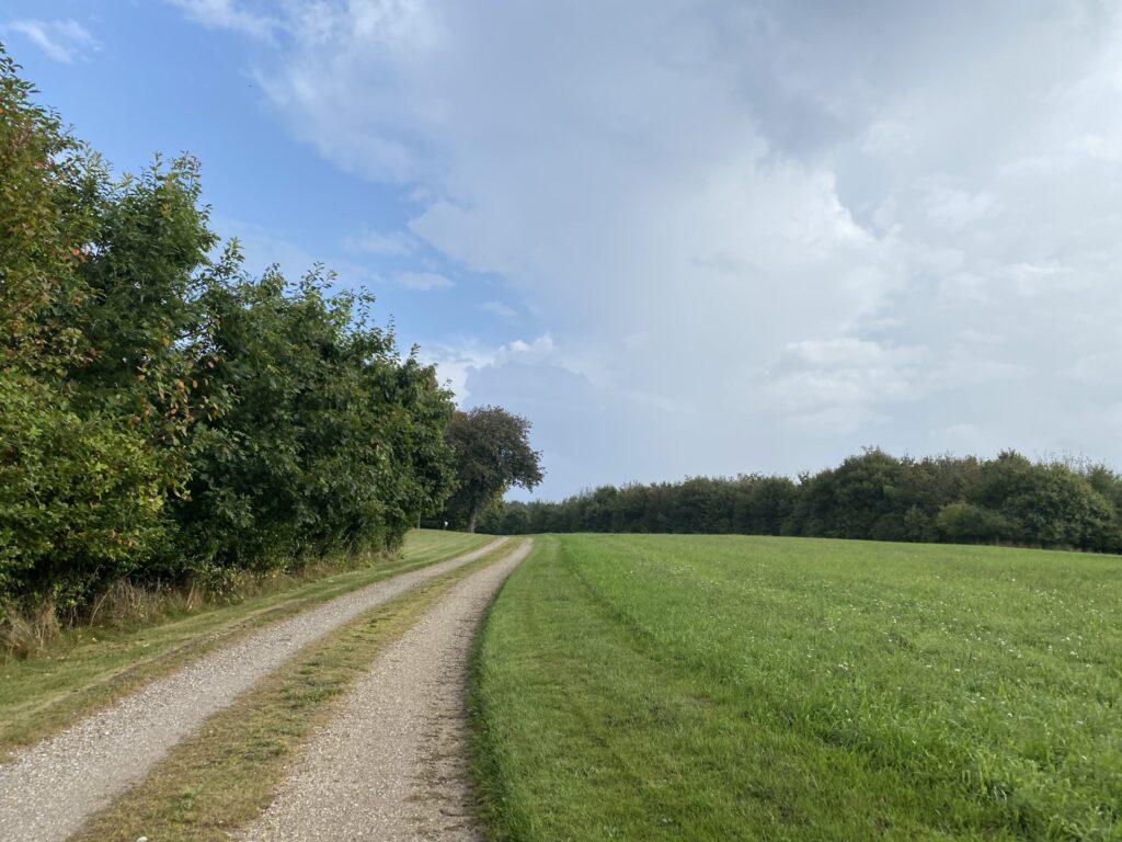
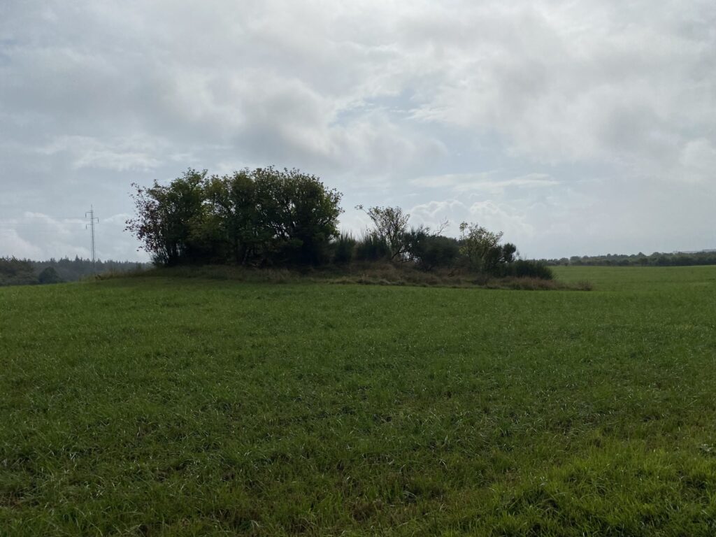
We head back into the woods and turn left onto the first path. We follow it but make a detour to the right and then left again to pass by Liegger Høie (another couple of burial mounds), though we could easily have walked straight ahead and still seen them from the road. We emerge onto the road again and, at the next opportunity, turn right onto Sundvejen, which is simply a gravel road.

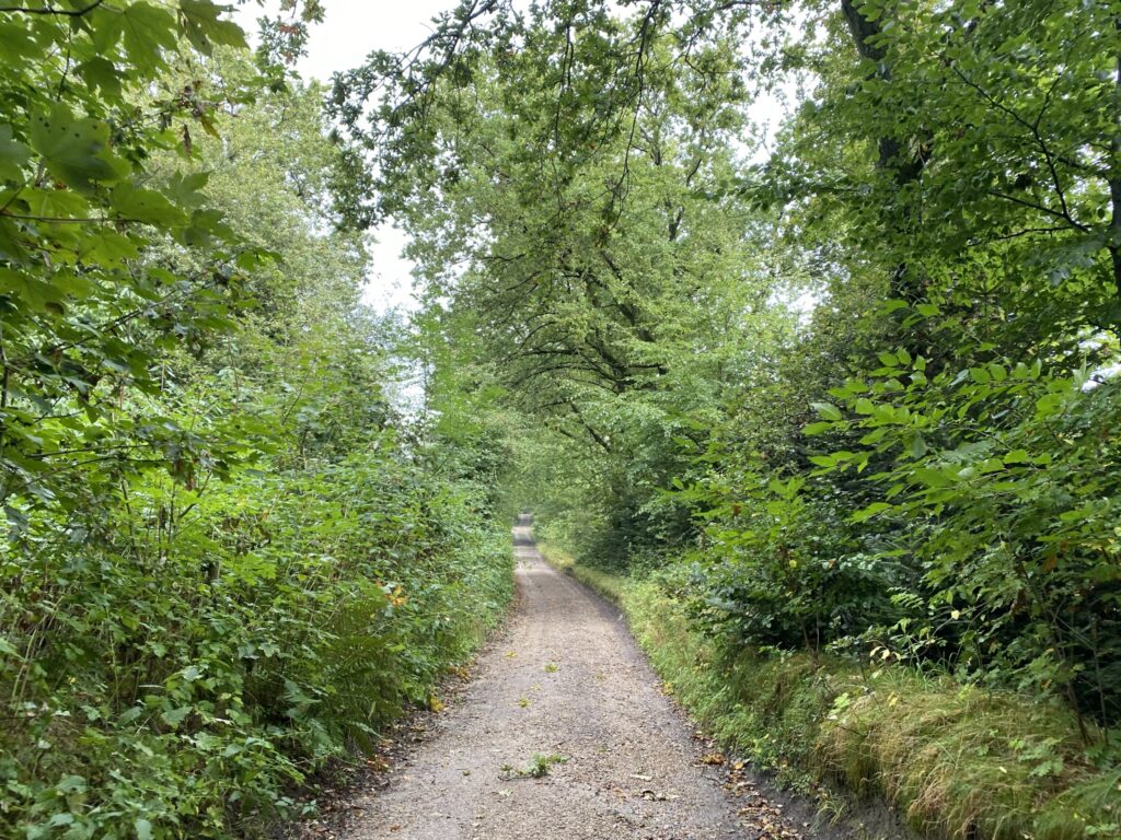
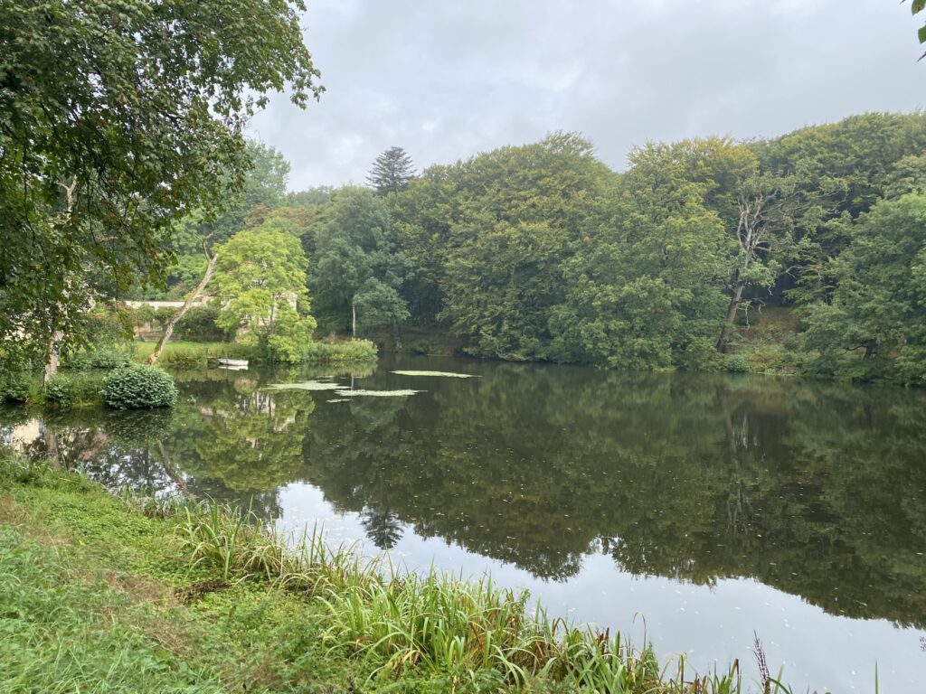
We follow Sundvejen for a couple of hundred meters before turning left onto a slightly larger gravel road. This gravel road takes us past Jesperhus Flower Park and out to the paved Legind road. Here, we turn left and walk along the cycle path until just before we reach Jesperhus Camping. At that point, we turn right onto a smaller path that leads us to the campsite and out into the open area by... Legind LakeThe lake was originally part of the fjord, but the area was reclaimed in the early 20th century. This process was not without difficulties, but the area was successfully drained—until the pumps eventually wore out. Subsequently, the water level rose rapidly, and the lake was restored. We follow the lake's shore along the established path while enjoying the view across the water.
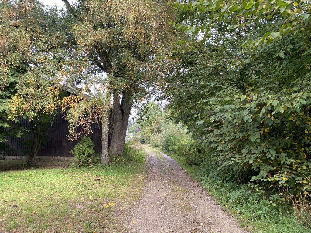
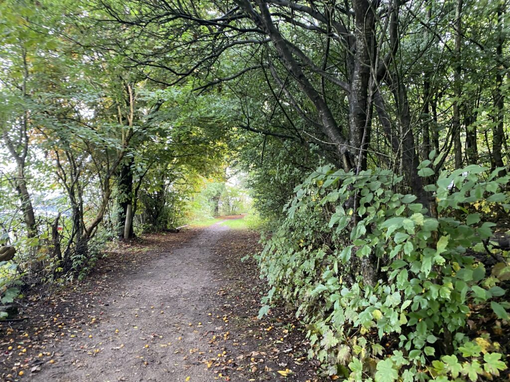
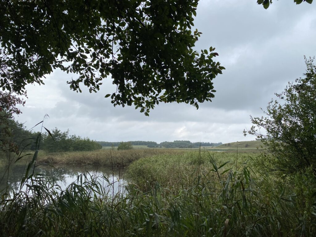
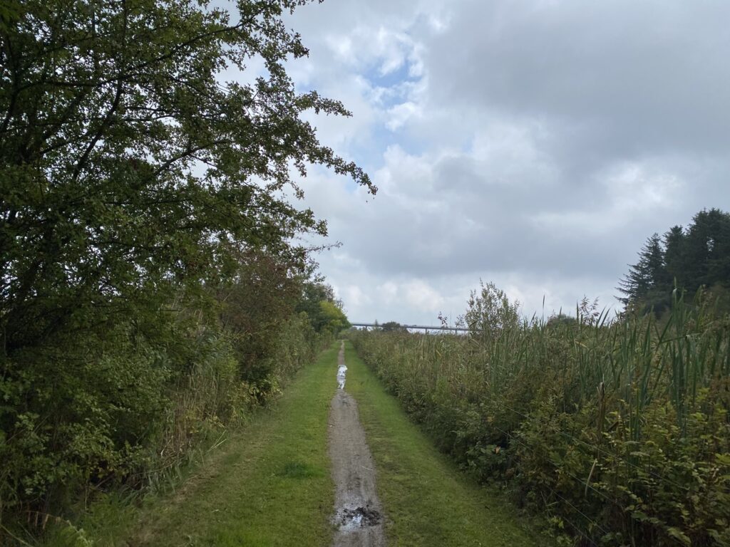
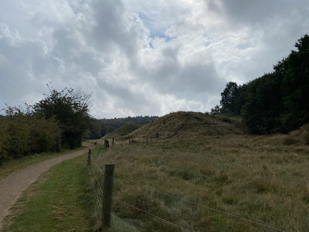
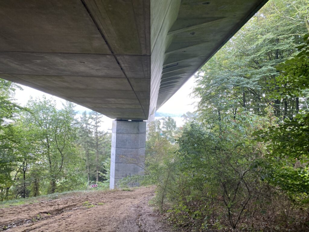
The path leads us back out to Legindvej, where we turn left and pass under the large bridge. We turn right just before Sallingsundvej and enter the car park, where we follow the path into the woods and the Legind Bjerge area once more. We are heading for Sliewbak, an old, steep coastal slope formed during the Stone Age. The climb promises a great view, as the path goes uphill the entire way.
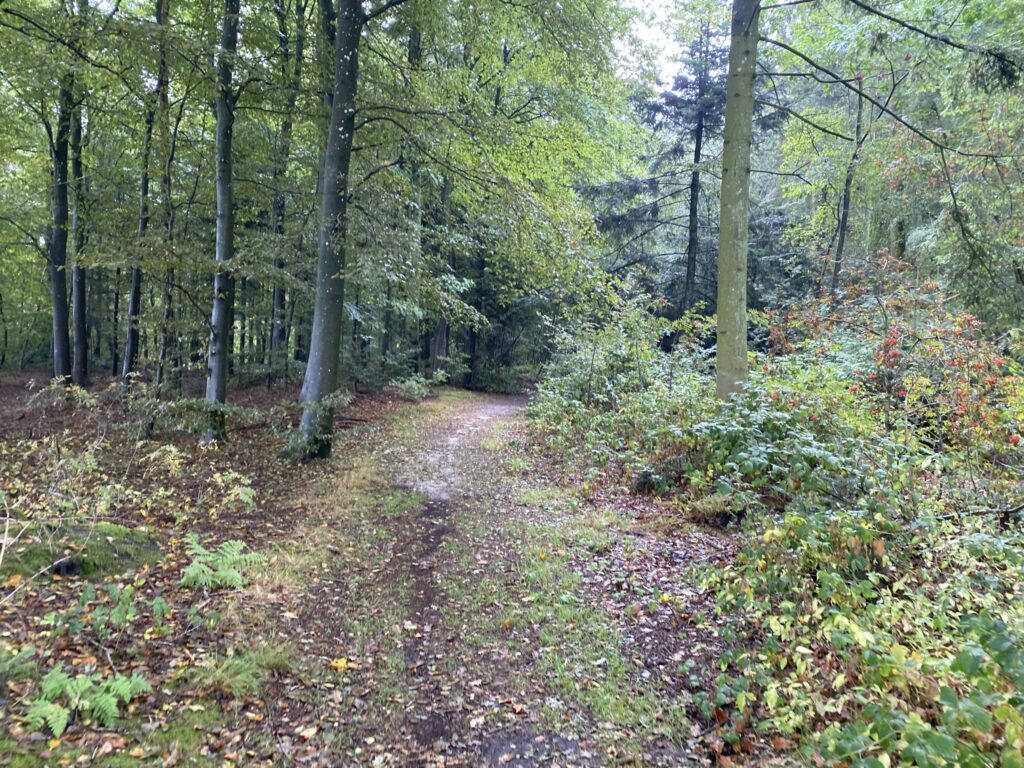
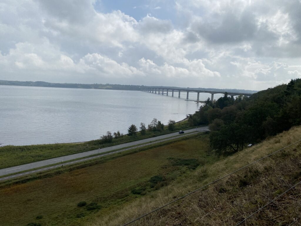
From the scenic viewpoint, the route now heads down toward the car, located about a kilometer away. The descent from the viewpoint is a winding, circuitous affair along smaller paths. While the journey would be easier via Sallingsundvej, we opt for the trails through the woods, passing under Vildsundvej, before joining Sallingsundvej for the return to our starting point.
The route is just under 17 kilometers long, but—as mentioned—it can be shortened to just under 13 if you skip the loop through Lillerisdalen.
Click on the map below and it will open in Google Maps. From here, you can follow the route as you are hiking.