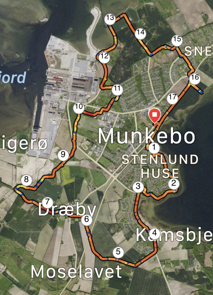
Munkebostien, Munkebo. 18 kilometres.
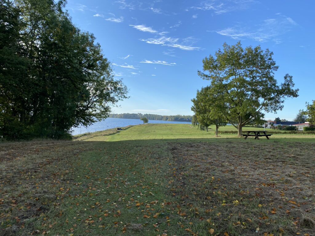
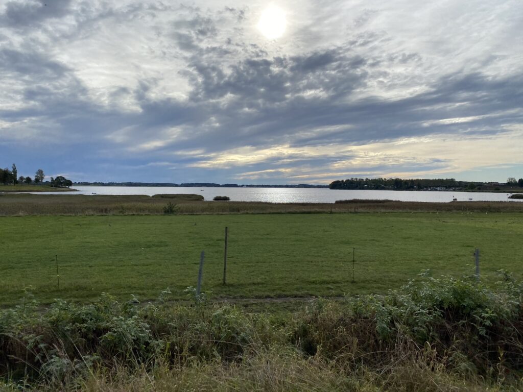
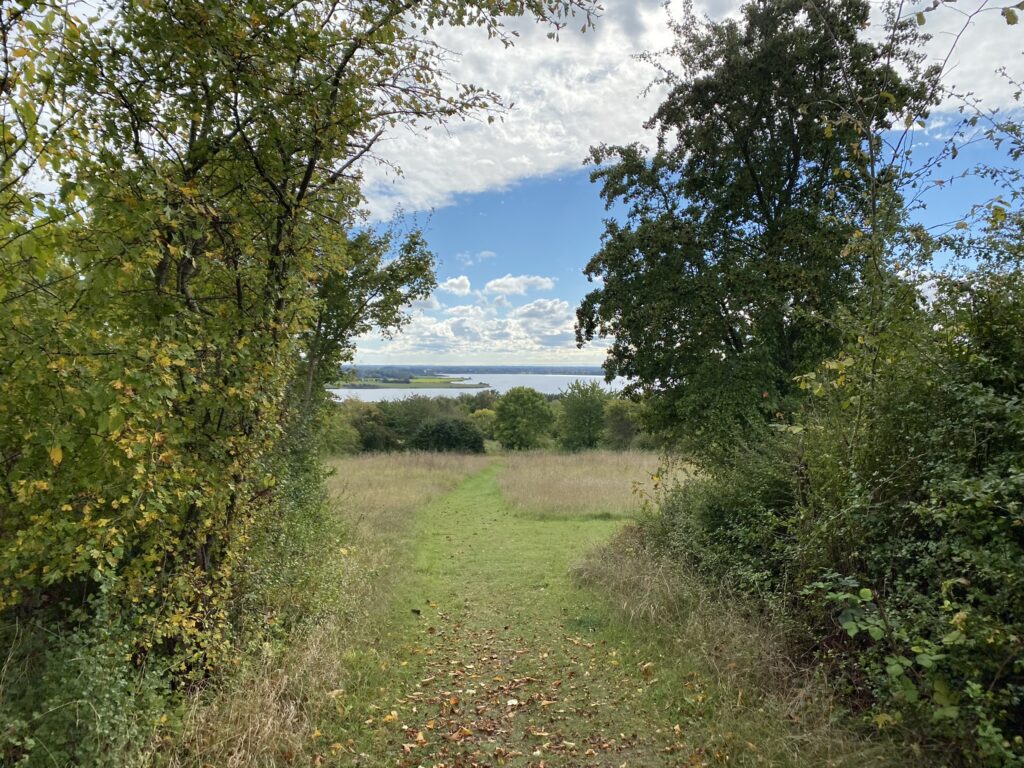
We set our GPS to Munkebo Kro and parked the car. We cross the road and walk by Kertinge Nor back towards Odense. After less than a kilometre the path turns left towards the Ma’e. Right after the row club we meet the first coffee spot with a great view of Kertinge Nor and the small island Galgeholm where they used to hang criminals.
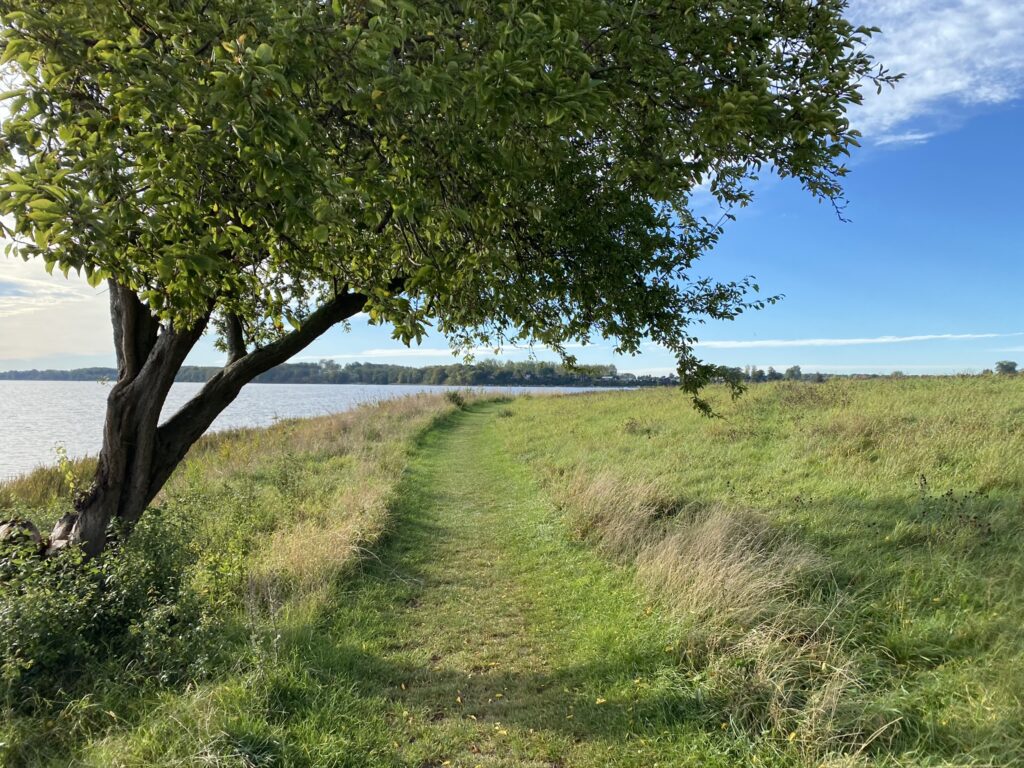
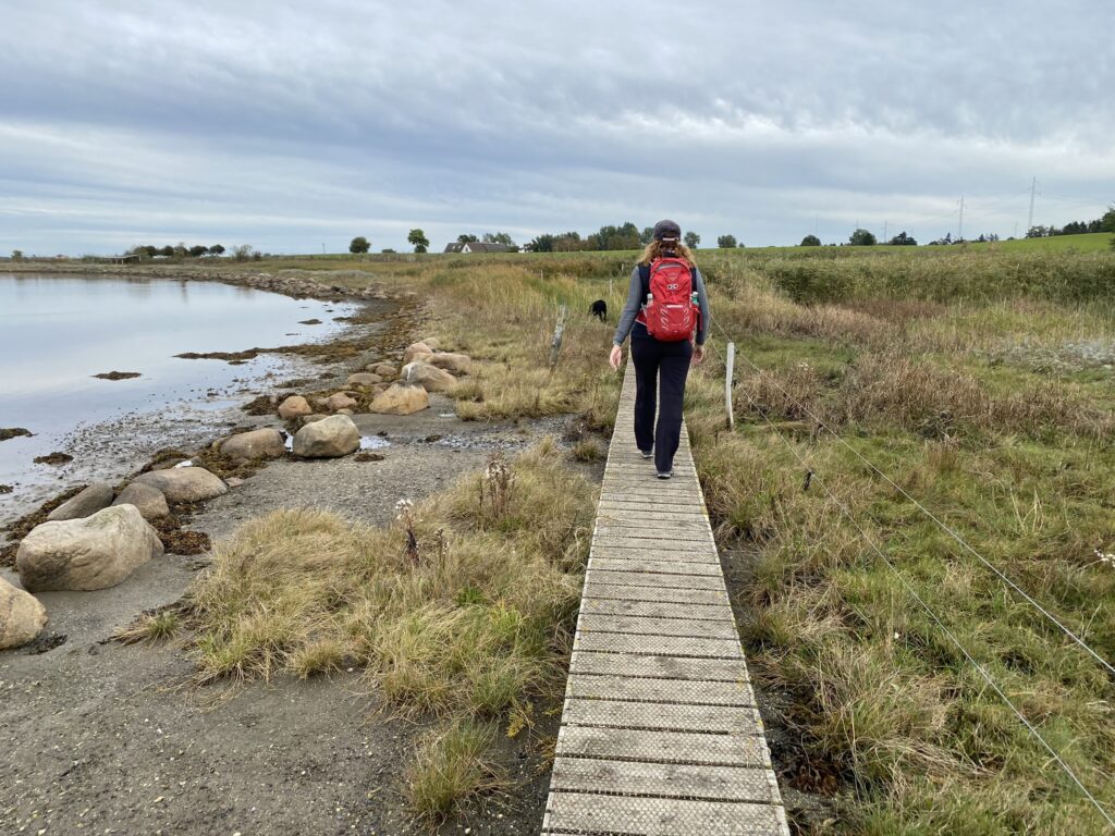
After the coffee the path goes a little close to the first rows of houses but at the end of Strandløkken it goes right. We choose to go straight forward into the green area to follow the coastline around the Næs.
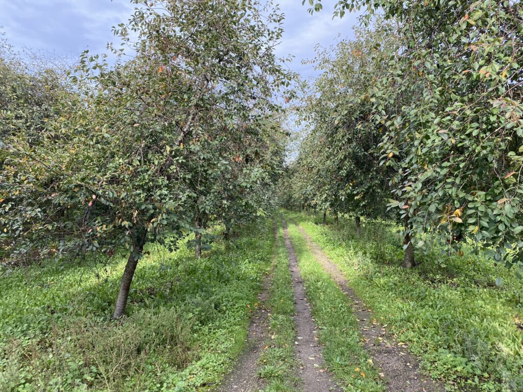
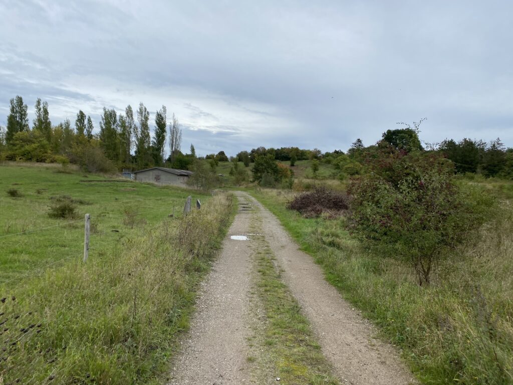
As we reach the road (Næsset) we go left and to the left again down Kølstrupvej which we choose to follow through the first roundabout. In the second roundabout we take the first road to the right - Sunneroesvej. Look out for the cars between Næsset and the second roundabout. After around 500 metres we make a turn away from Sunneroesvej and walk on the old railroad -Odense-Kerteminde-Martofte. The railroad was closed for trains in 1966. It leads us through a beautiful cherry field.
We follow the railroad to Dræby where we walk by Stationsvej, take a left down Dræby Fedvej and immediately after take a right down Vigerøvej where we can see the big crane on Fynsværftet.

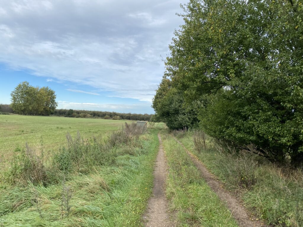
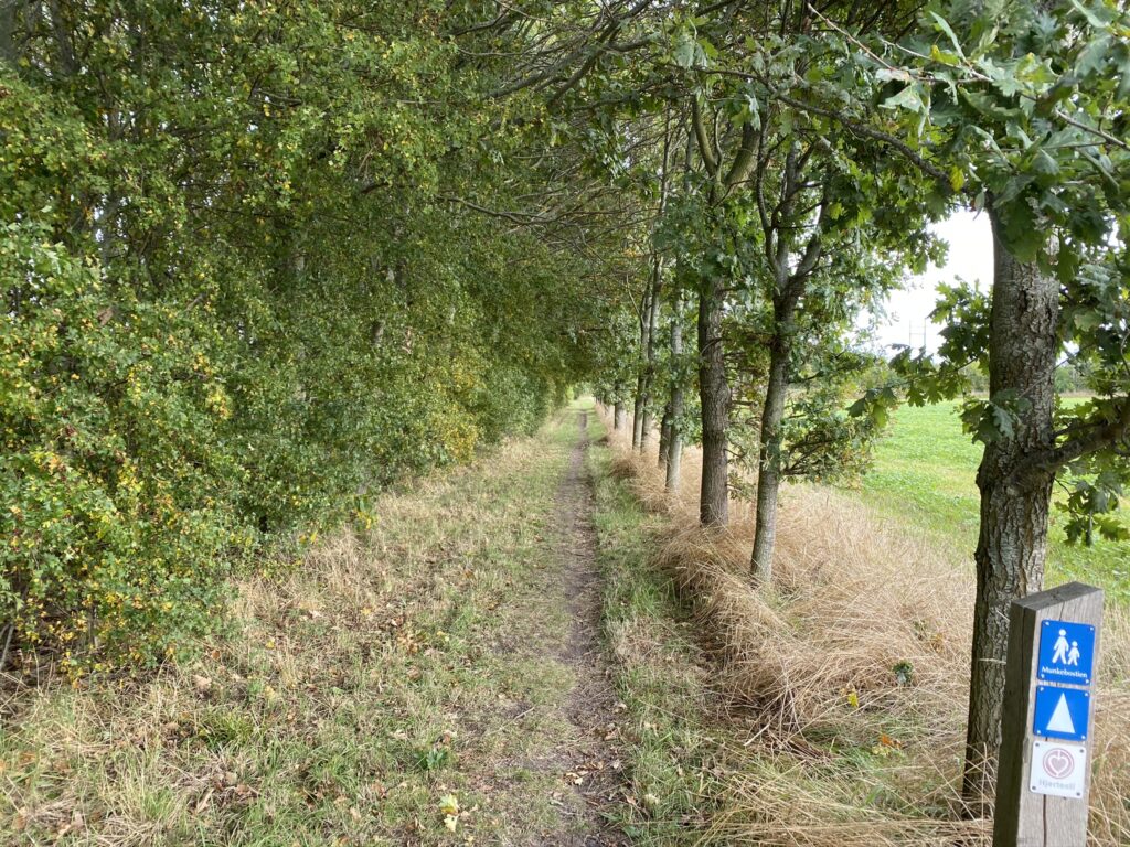
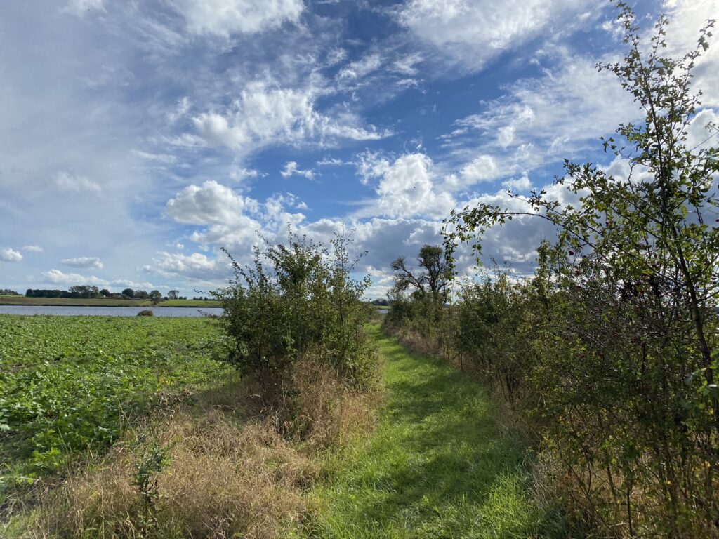
After about 8 kilometres we turn away from Vigerøvej and into a narrow forest path which we follow around the Lindøværft. The entire area used to be the bottom of the sea and there are many remains from the Bronze Age. There are several benches where you can enjoy your coffee and enjoy the view of the fields on this hike. We continue across Dalby Høj.
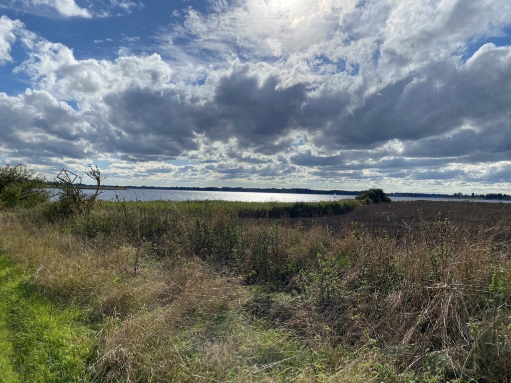
We find a route that goes in a circle around the areas with grazing cattle and find ourselves on Havnevejen which we follow towards Odense Fjord. Right before the fence, we turn right and are now following the bottom of the inlet to Boels Bro.
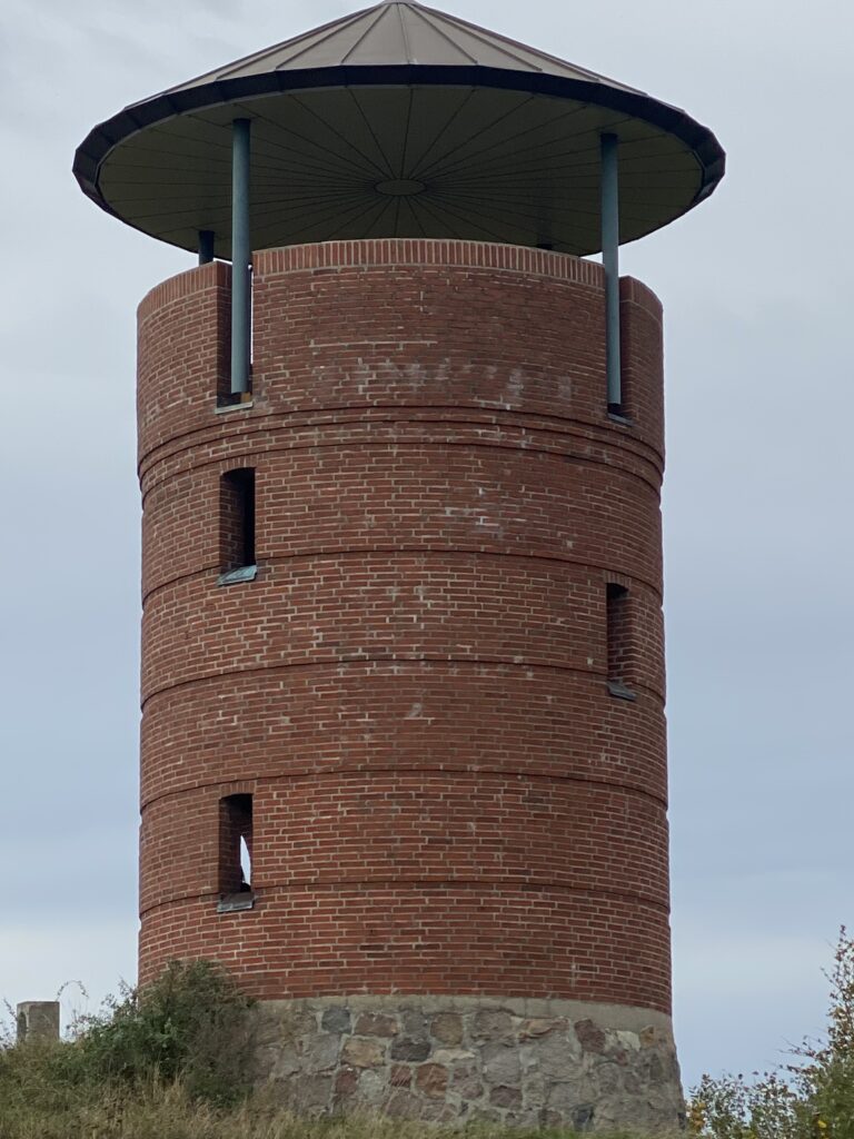
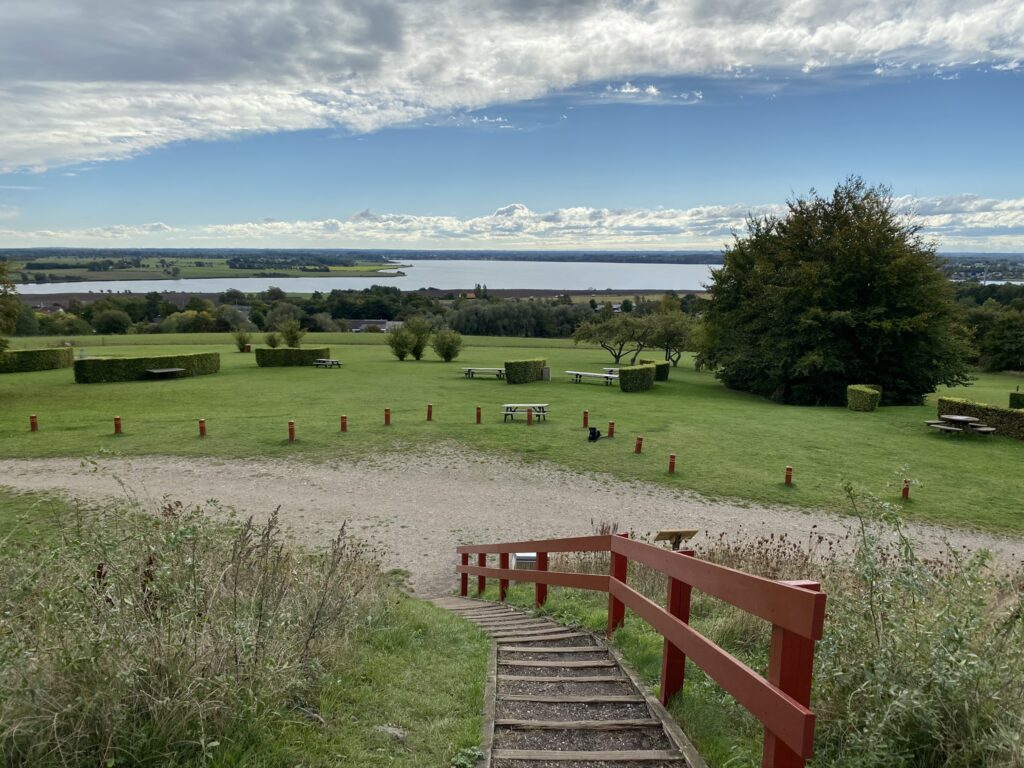
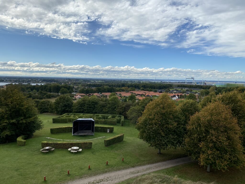
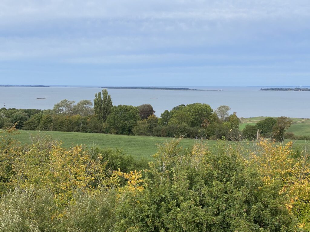
From boels Bro we go up Munkebo Bakke. On the top we go left by Loddenhøj Allé which leads to the tower. From the tower there is an amazing 360 degrees view and the place is perfect for a photoshoot. You can see the light house on Enebærodde, Fyns Hoved, Storebæltsbroen and both Kerteminde and Odense Fjord.


Kerteminde Fjord / Odense Fjord 
Enebærodde med Gabet i højre side
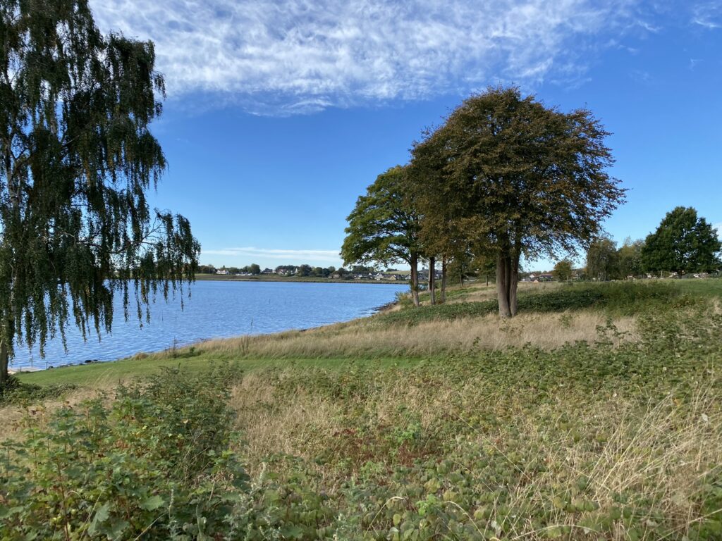
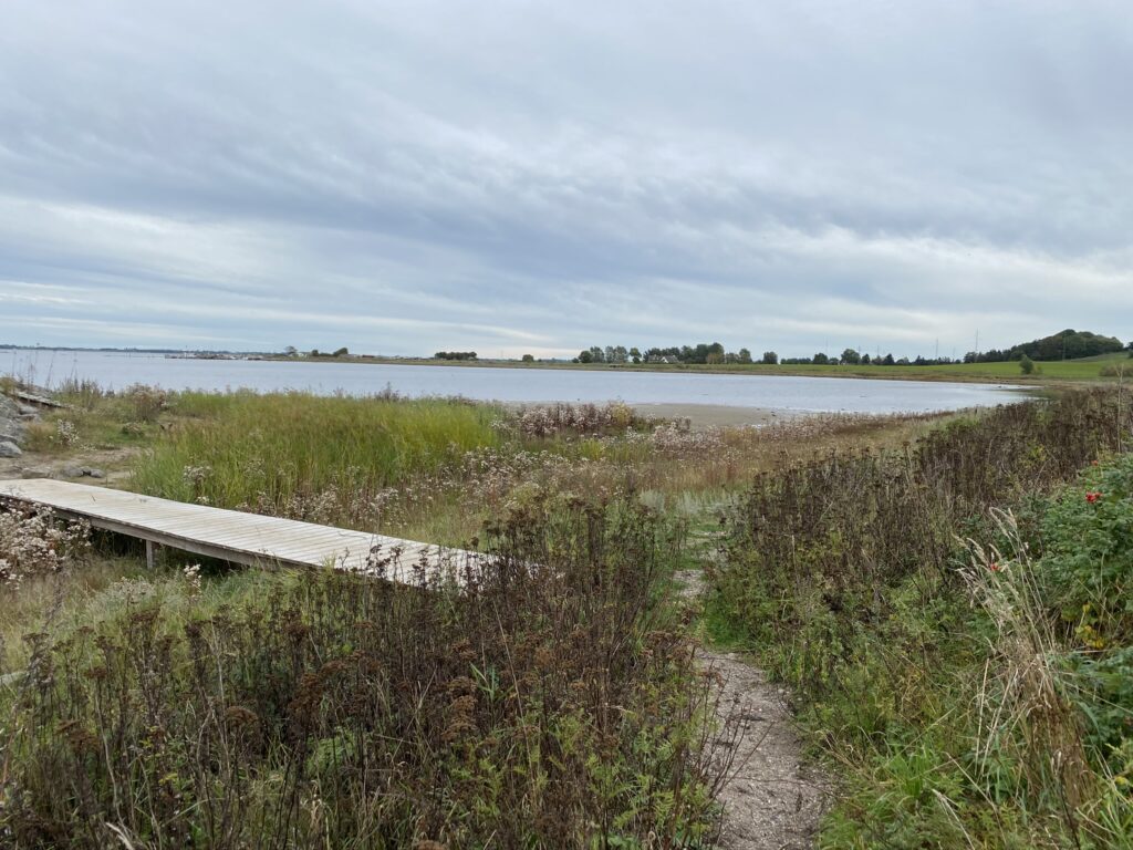
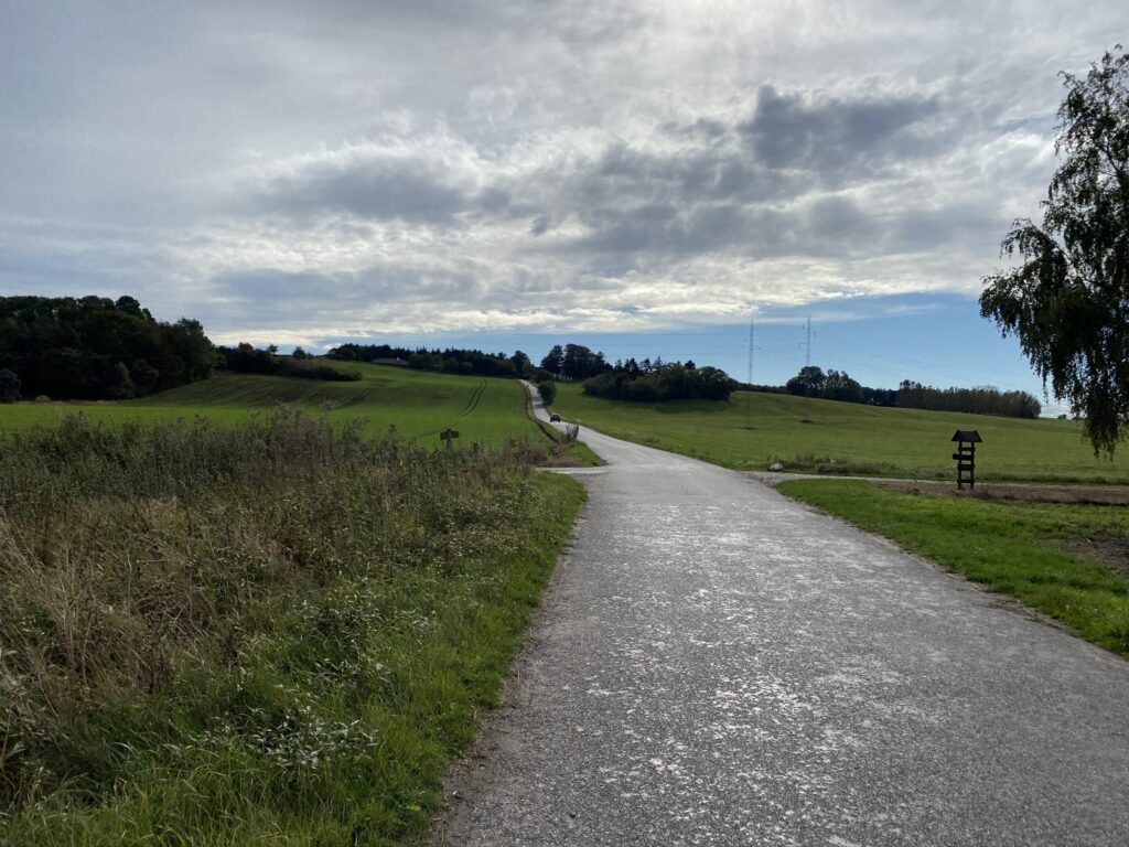
From Munkebo Bakke we follow the natural path towards Kerteminde Fjord. We exit in Toften where we go left and then right down Krabbegårdsvej. Almost at the bottom we follow a natural path onto Munkebostien. We find our ways down through a narrow path that leads to the water. Here you can also find a bench for the perfect coffee spot. Back on the country road we go and follow it until we get to Munkebo Kro and out car.
Thank you to Ina Aabjerg Mann who suggested we took this hike.
The hike is almost 18 kilometres long.
If you want to read more about what Kerteminde has to offer, go to Visitkerteminde.dk
Click on the map below and it will open in Google Maps. From here, you can follow the route as you are hiking.
