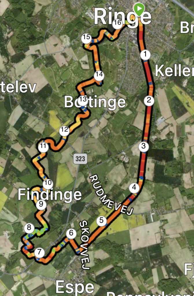
Ringe – Espe Stien, 17 km.
In the middle of Funen lies Ringe, which is one of the large towns in Faaborg-Midtfyn Municipality. The town is located up the motorway, but the Svendborg line also passes through Ringe. In the past, there have also been trains from Ringe to Espe, but the route is now closed and the closed section of track has been made into a nature trail. The municipality and the Nature Agency have worked together to create a walking route for more than 10 years, and the path was inaugurated in 2020.
We have chosen to get up early to enjoy the sunrise. The advantage of winter is that getting up early isn't even that early. Sunrise is 08.35.
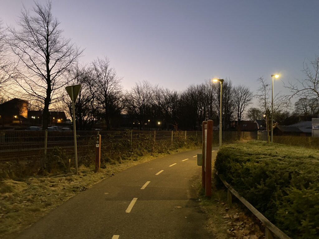
We have set our GPS to Algade 7, 5750 Ringe, where there is a parking space right next to the track. From the car park we go to the right along the nature trail Ringe – Korinth, so that we have the course on our left. The first part of the path is through the backyards of the detached houses, through industrial districts and finally past the allotment gardens, but all the way we are flanked by vegetation on both sides. In several places, there are remnants of the old railway in the form of exposed rails at crossings. After approx. In 1.5 kilometers we are out of town and cross the Sallinge Å, which winds beautifully under the path.
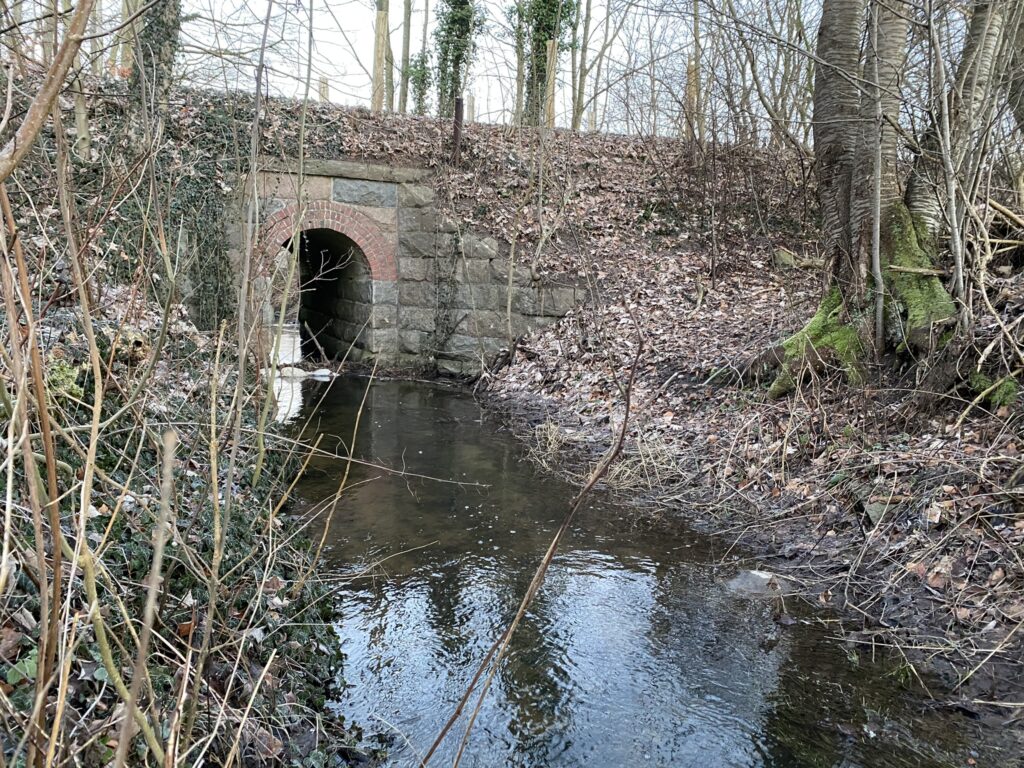
We are now out in the open countryside, and can enjoy the beautiful sunrise to the east. After just over 3.5 kilometers we cross Skovbæk Å, where there are steps down to the stream. We sit on the small bench and enjoy the view over the stream and the beautiful viaduct, which is built of hewn granite with brick arches.
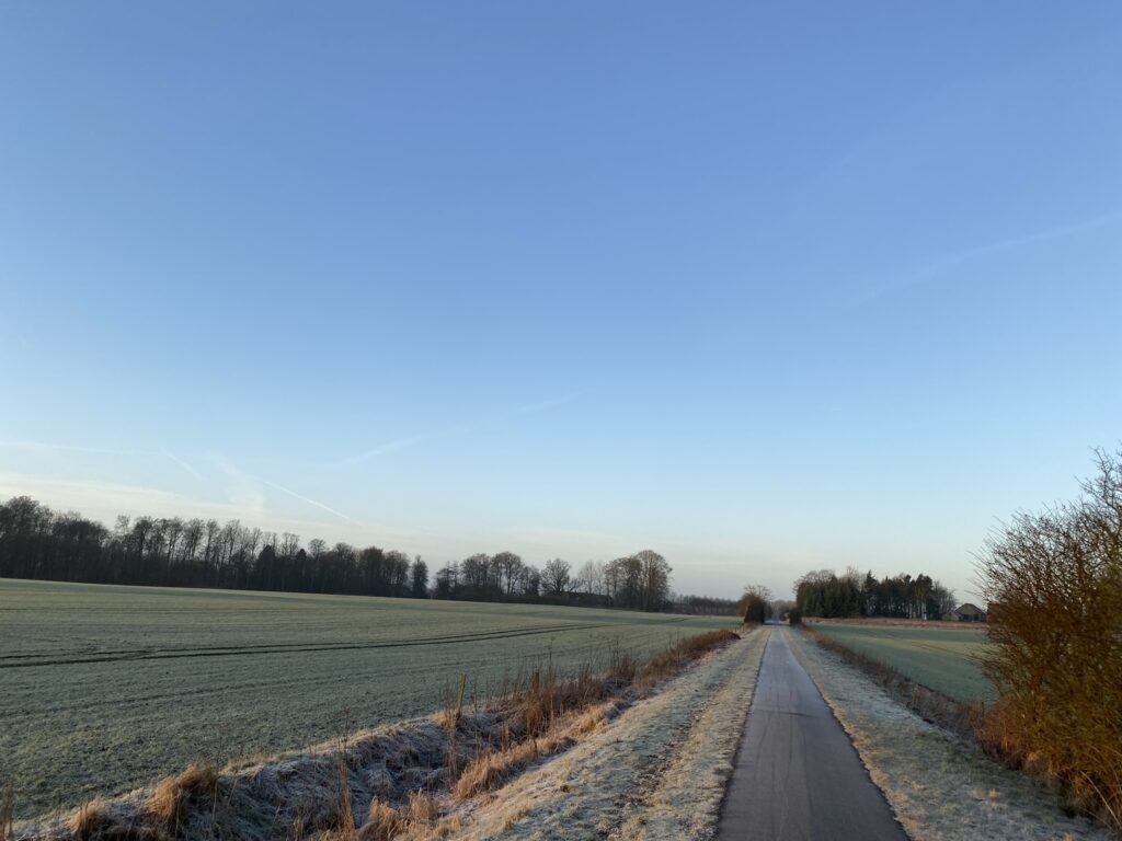
The next 2 kilometers continue along the old track body, with a magnificent view over fields and meadows, while the sun rises and reveals a beautiful blue sky.
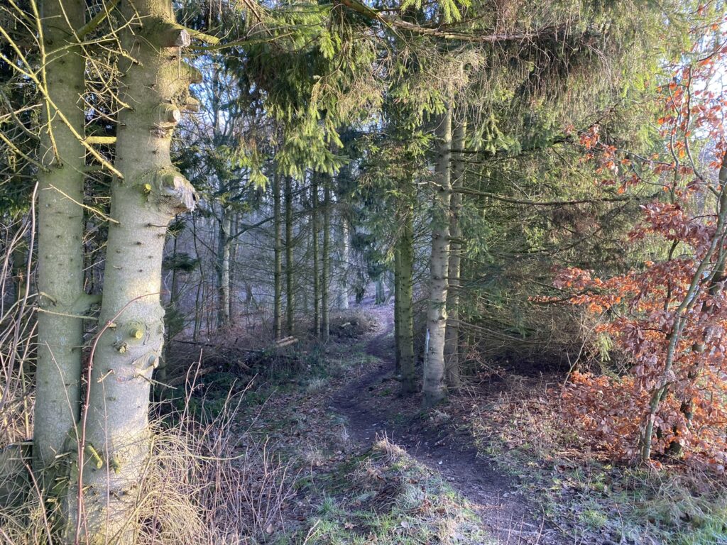
After just over 5.5 kilometers of walking, we cross Skovvej, and shortly afterwards a path goes down to the right towards Espe Folke- and Tumlepark. We follow the path, which can be quite damp at times. Well over the field and further by the small vegetation, we turn left so that we pass Folke- and Tumleparken on our right. In several places, the path has more of a footpath character, but winds and meanders beautifully through the forest.
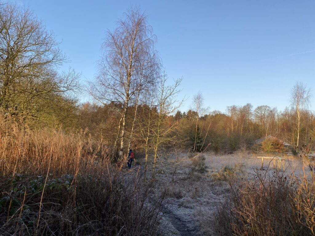
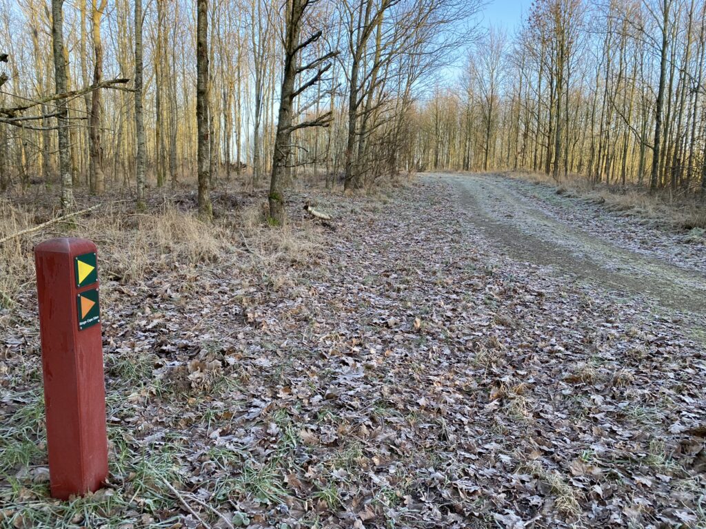
We cross Assensvej and continue into Espe Skov, where we pass Hundeskoven, turn left shortly afterwards and follow the orange arrows (which indicate Ringe – Espe Stien). The forest road turns sharply to the right, and shortly afterwards we turn left again along another path, which is relatively damp. Ringe – Espe The path is also for horses, so in many places the path is ridden up, so it is difficult to walk on. After walking almost 8 kilometres, we turn right up a small path, where there is an open area to the right of the path. A table-bench set has been set up here, where we enjoy a cup of coffee and the beautiful sun.
The path enters the forest and leads us down a forest road, which we follow around to the left and out of the forest again. The open frost-covered fields and the high blue sky welcome us. We turn right onto the first road, and immediately after the single dwelling, we turn left onto the small path again. Again, it is well marked.
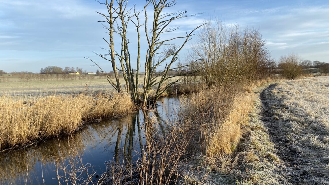
We follow the Sallinge Å, which winds and meanders through the area, which is also a wetland with drainage of the surrounding fields. It goes without saying that it is also humid here at times. The area is beautiful with the stream that trickles in several places, with open expanses and with a large lake. After 10 kilometers we cross the stream and turn left onto another footpath.
The marked path leads us to the right, and after just 200 meters to the left again. We are now on our way into a young forest, where we turn right and follow the wide forest road through the area, out and straight across Nordskovvej and make sure to keep left all the way until we reach Boltingevej.
We cross straight over and keep to the right along the first road. We continue through the forest and turn right as soon as we come out of the forest. We pass the beautiful area with Midtfyn's Golf Club and come out onto Boltingevej, where we turn left and follow the road towards Ringe. On the way, we have a beautiful view over the golf club's grounds, but also over the Amfiscenen and Vikingepladsen. When we get down to Ringe Sø, the original route goes to the right, but we choose to go left around the lake to enjoy the beautiful nature.
Approx. in the middle of the lake there is a dam all the way across, and we choose to cross here. Around the lake there are several small bogs which can be dated back to the Iron Age, and there have also been found memories of the past in the area.
Once over on the other side, we turn left and first follow the path, and later again Søgårdsvej all the way to the end of the lake, turn right onto Søvej and turn left along the path just after the large building that houses Social Supervision South Dept. Call. We follow the path to Centrumpladsen, where we turn right and reach the main street, where we turn right and arrive at our car.
The trip is just under 17 kilometers long, and it is one of the trips we have taken where there are the most benches placed with the opportunity to enjoy both nature and silence.
Click on the map below and it will open in Google Maps. From here, you can follow the route as you are hiking.
