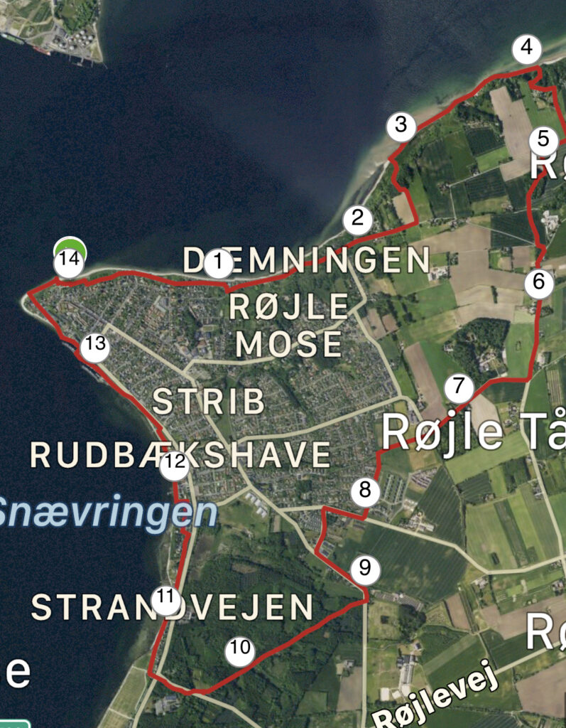
Røjle Klint, Strib. 14 km.
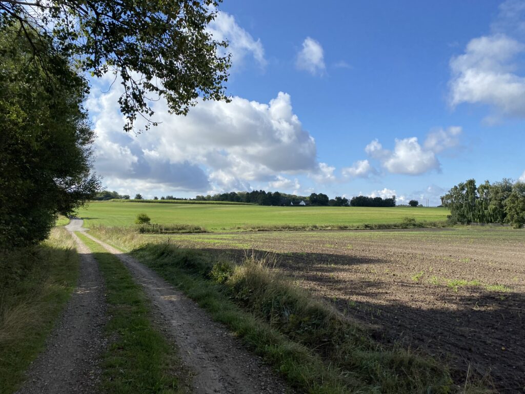
The area around Strib has something special about it – whether it’s the two Little Belt bridges or the Little Belt itself, I don’t know. Set the GPS to “Ved Norden Bro, Middelfart” and drive down to the end, where there is a nice parking space for the car. There are table and bench sets here, so you can sit and enjoy your coffee and the slightly hazy morning right from the start. We start the trip by following “Lillebæltsstien" towards the east and towards Røjle Klint. The first part of the trip takes us up and down a path that follows the water, but high up and with a good view of the cliffs at Røjle.

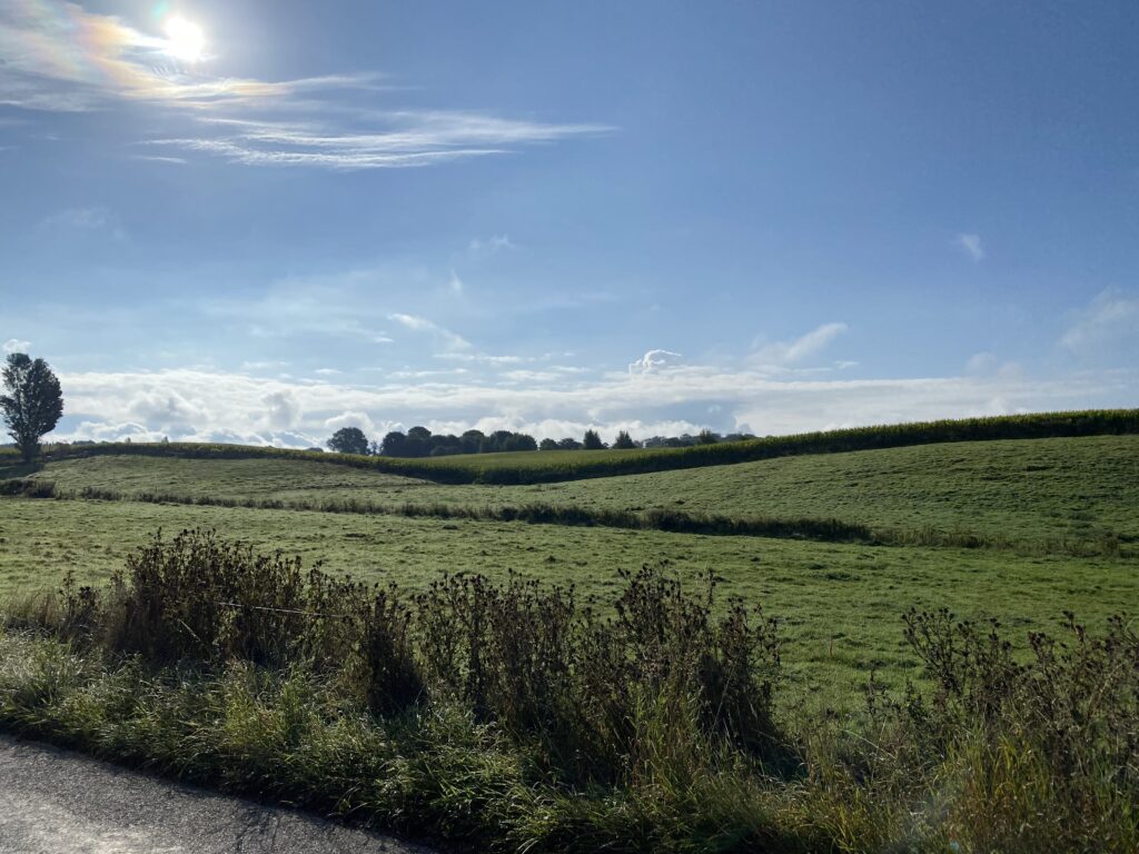
The sun quickly burns away the haze, and we now walk a little away from the water, but with a beautiful view of a marsh area and now with a late summer sky, which really adds to the magnificent landscape we are moving through.

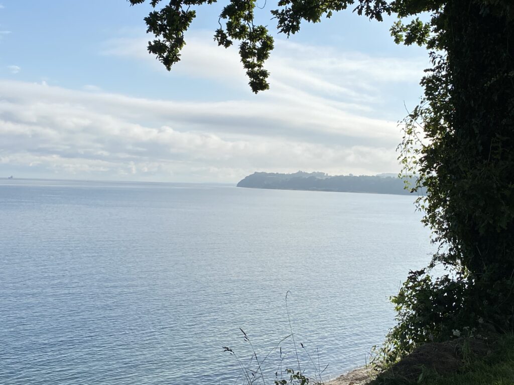
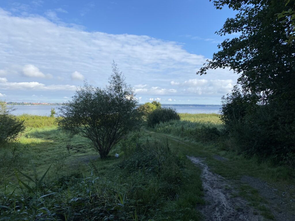
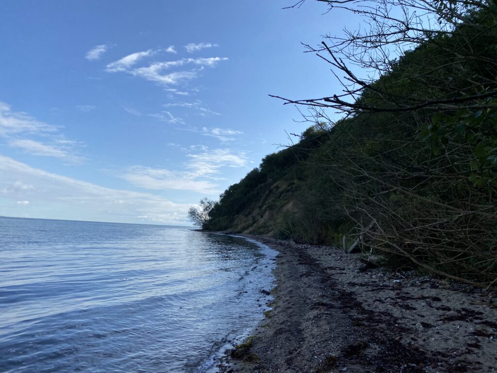
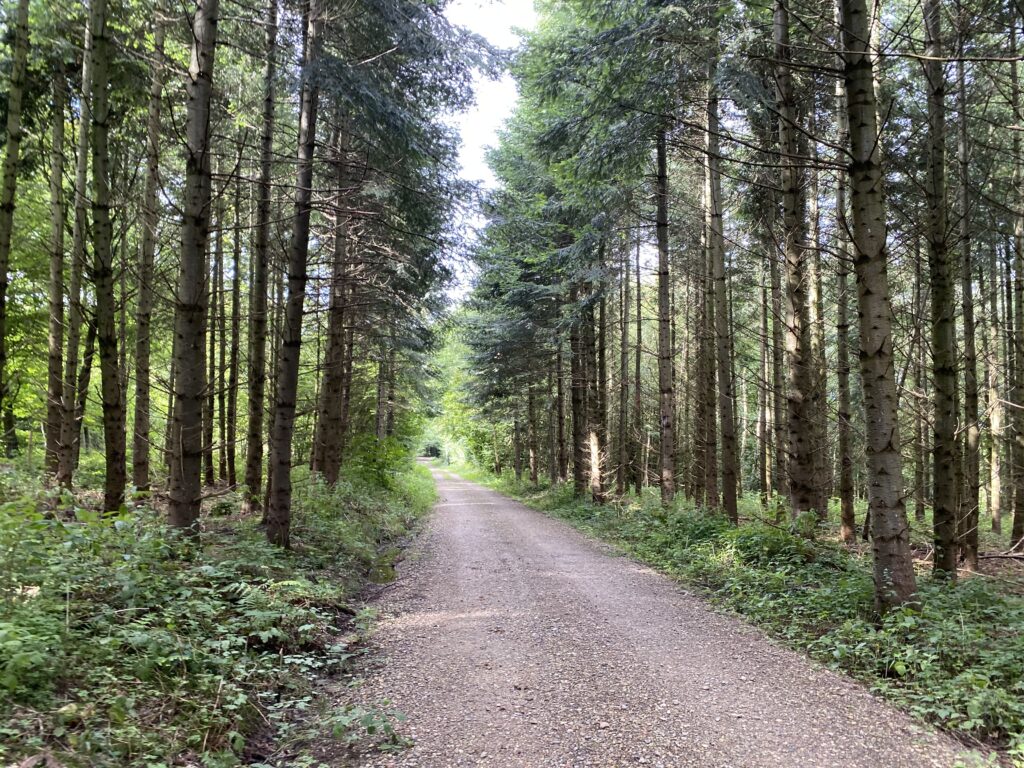
After about 2.5 kilometers, the Little Belt Trail turns left along a gravel road, and it leads us through a small forest, and out to the water, where we now have to walk on the sand all the way around past Røjle Klint. The beach is almost blocked in several places by fallen trees and mudslides from the cliffs, but with a little good will, it is possible to follow the coast (and the Little Belt Trail). The reward is when we see Røjle Klint.
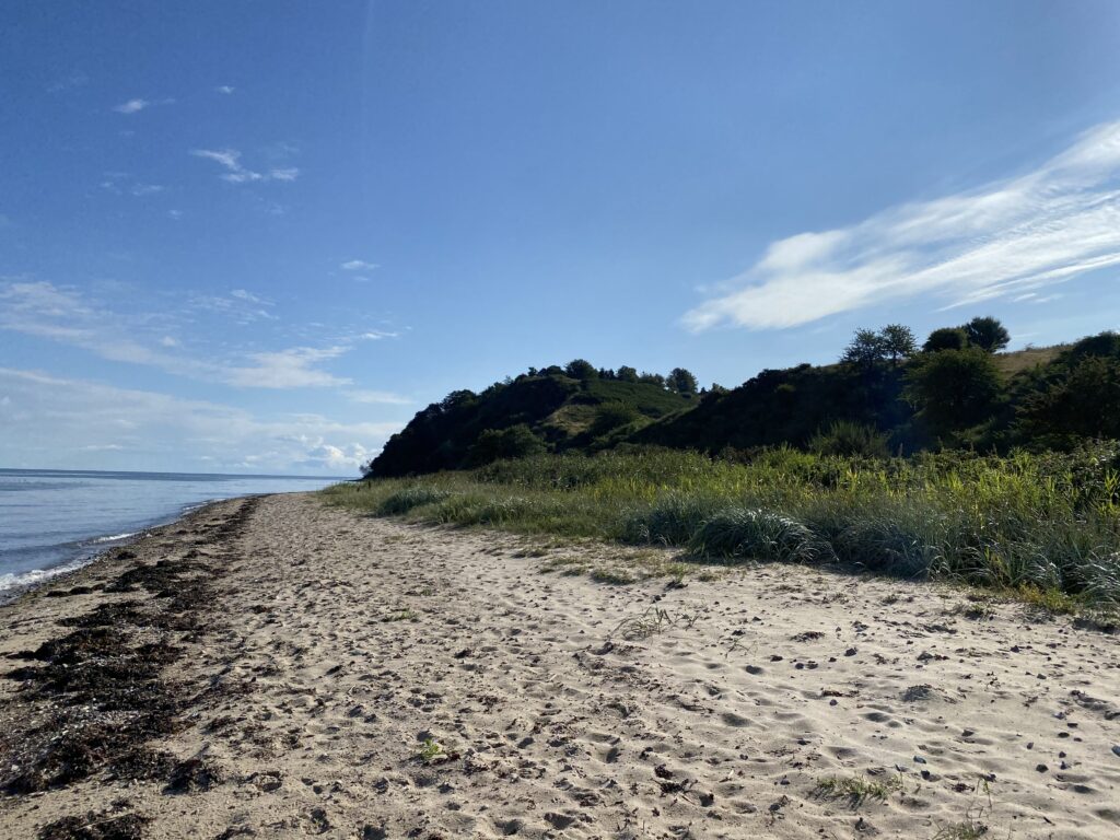
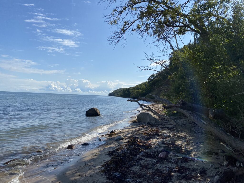
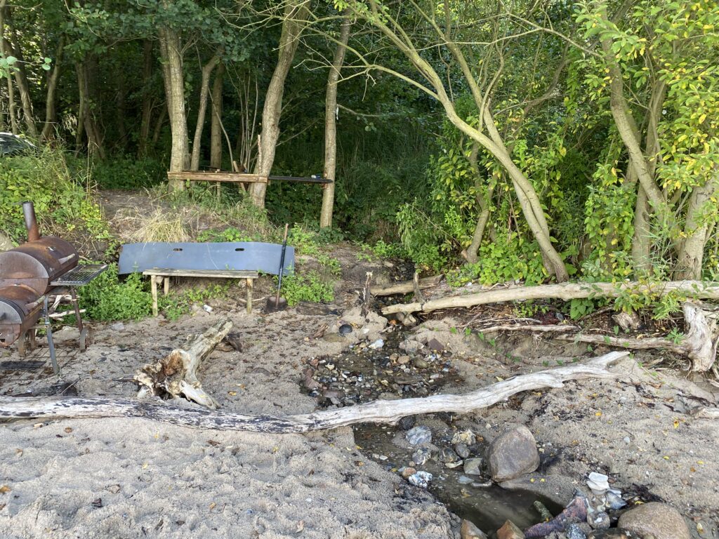
Very shortly after the cliff itself (after about 4.5 kilometers) we come to a place where it looks as if the trees grow into the water, and the beach ends. Here is also set up a small grill/smoker, a bench and other quirky decorations. We choose to walk up the small path that goes up into the forest, and when we get to the top, we are at Røjle Klint Camping, which is located high up, but with a fantastic view of the water.

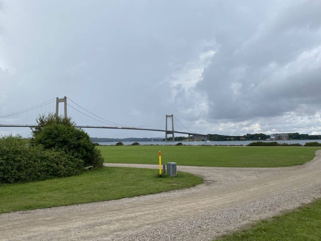
We follow the gravel road around the campsite, and come out through the main entrance and when we get to Røjleklintvej we turn left and follow it until we get to Marielystvej. Before we turn down Marielystvej we stop for a moment and enjoy the view of the two bridges over the Little Belt. Marielystvej is a gravel road that takes us both through the forest and across open spaces.

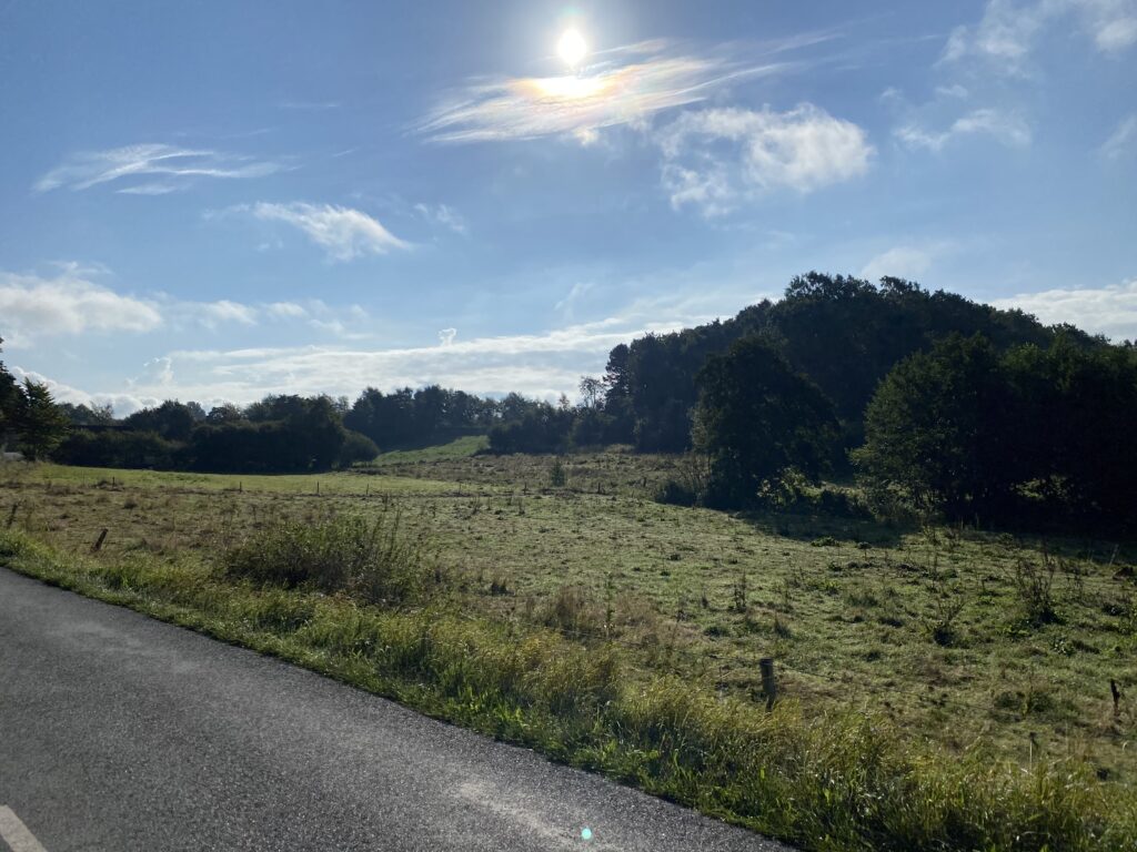
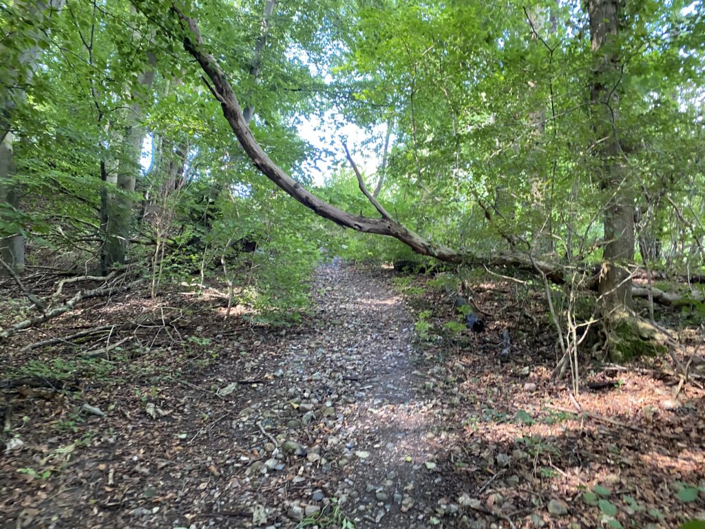
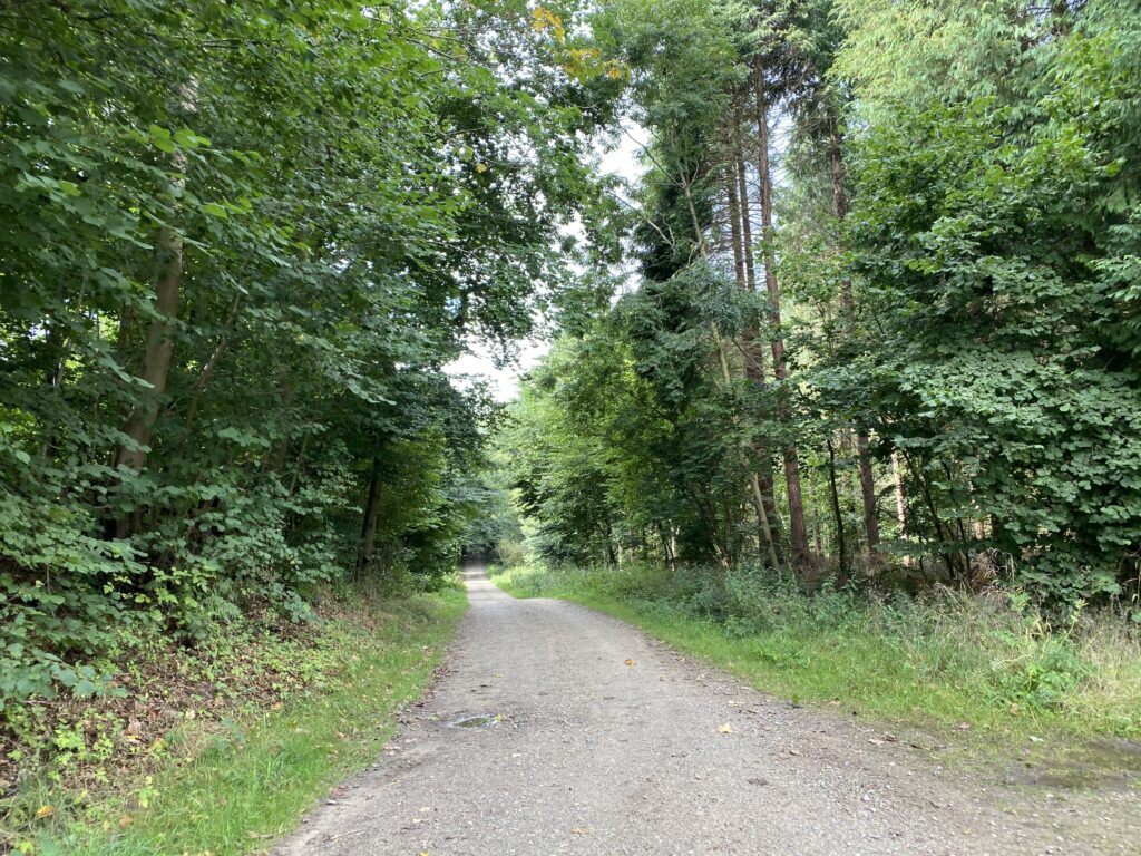
At the end of Marielystvej we turn left and immediately after right onto Røjleskovvej, which we follow until we can turn right onto Billeshavevej. We pass the beautiful buildings that belong to Billeshave Efterskole. Billeshavevej goes straight through a barrier (and Ny Billeshavevej goes right) We follow the path through the barrier and approach Strib by. We continue until we can turn left onto the first path. At the end of the path we turn right onto Abelonelunvej and again right onto Højskolevej. At the end of Højskolevej we turn left onto Strib Landevej, which is quite busy, but a must to get to Staurbyskovvej, which is only approx. 400 meters down Strib Landevej. The next approx. 1.5 kilometers take place in the deep quiet tranquility of the forest.
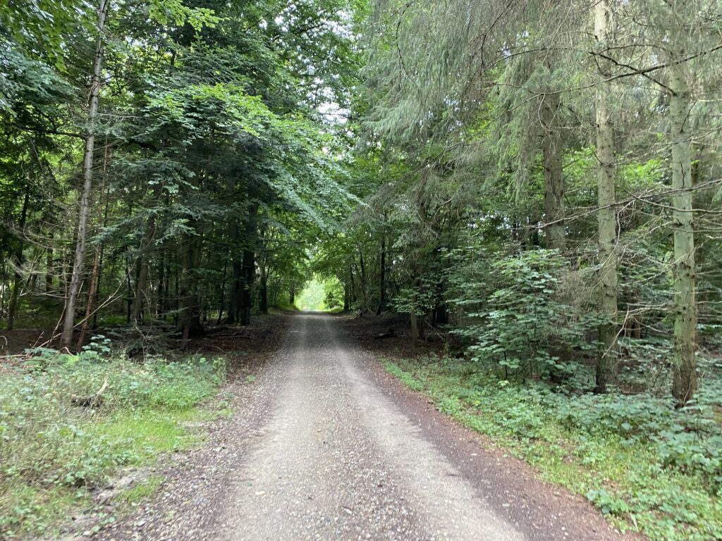
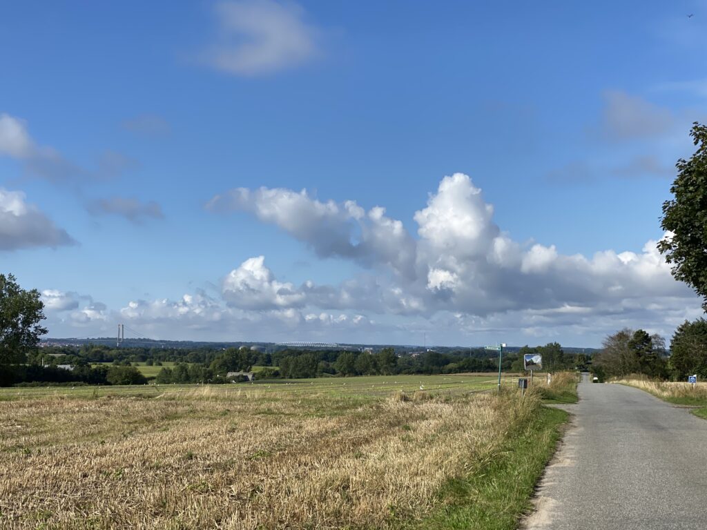
Once through the forest we go under Strandvejen and now have a great view of the new Little Belt Bridge. We have now walked approx. 10.5 kilometers and from here the last 3.5 kilometers are along the Little Belt Path along the coast up to Strib. The walk meanders and winds through closed wings, down iron stairs, along the water's edge and along marinas.

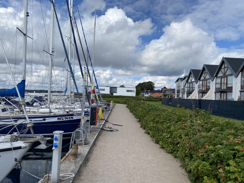
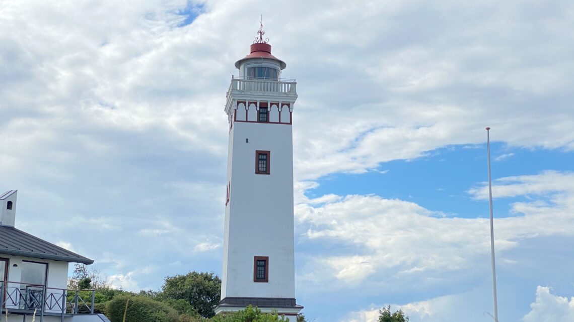
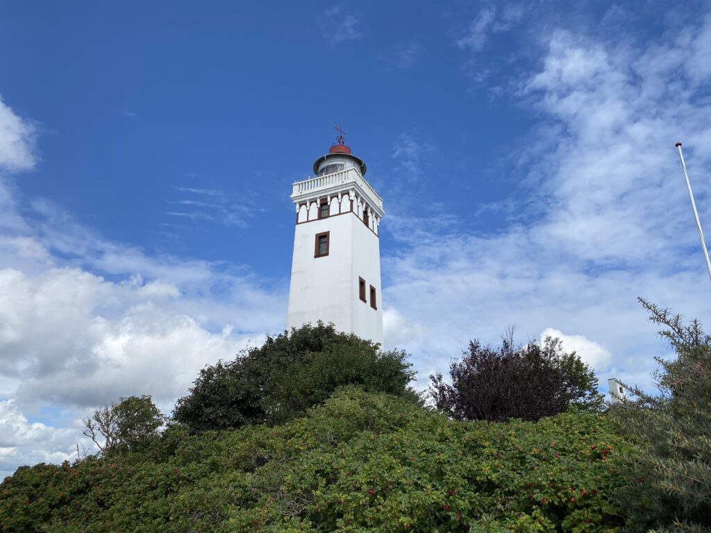
Shortly after the marina we stand and enjoy the view over the belt, and suddenly we see 3 Danish dolphins (Portuco porpoises) boldly breaking the sea surface, but which quickly disappear again at the sound of a motor yacht. When we turn our gaze further towards Strib we spot a seal, which sticks its head up above the water and looks around curiously. Slightly uplifted by this beautiful natural experience, we continue up to Strib Lighthouse, which in itself is a beautiful experience. We follow the beach around to Nordenbro, where two cannons stand guard over the waters between Strib and Fredericia, and at the same time mark the end of the trip.

The trip is 14 kilometers long, and more than half of the trip takes place along the water.
Click on the map below and it will open in Google Maps. From here, you can follow the route as you are hiking.