Svanninge Hills and Mountains. 10 kilometres.
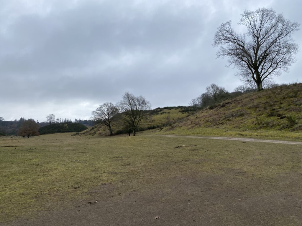
Svanninge Hills and Mountains and Sollerup Skov er with it’s about 1.000 acres det largest forest on Funen. The area is called the Southern Funen alpines and is one of the most visited nature areas on Fyn. Svanninge Hills were created during the last Ice Age and have since then been used as a gravel pit. For a long time, no one has been using it and therefore the forest has been allowed to grow freely and undisturbed. overdrev, som afgræsses af kvæg.
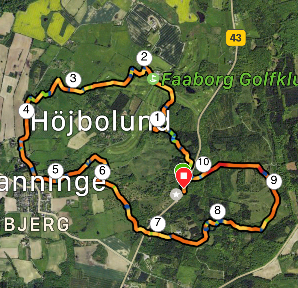
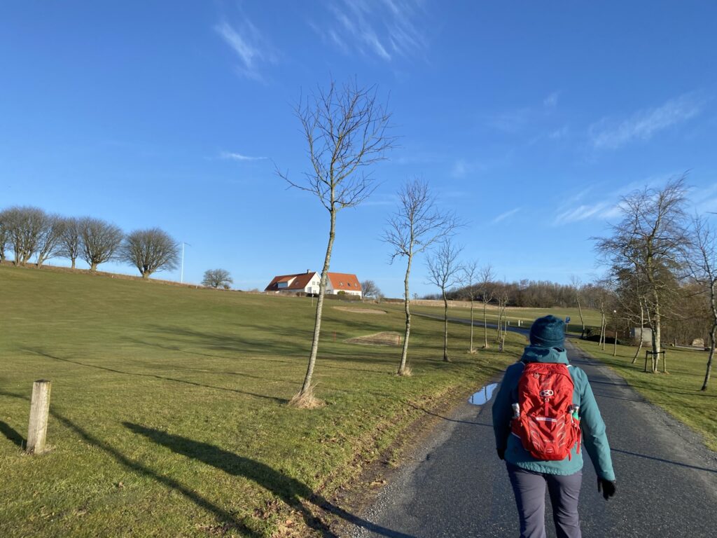
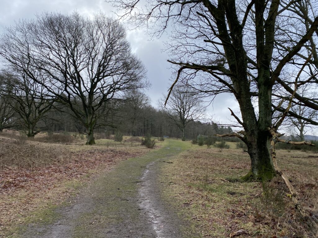
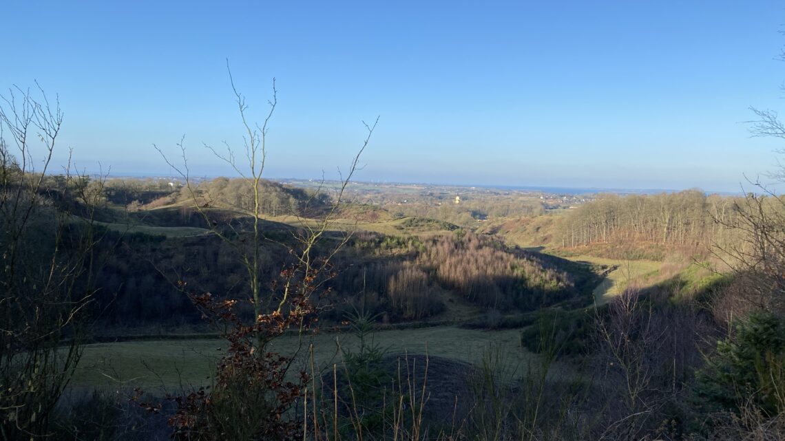
We set our GPS to Odensevej 169, 5600 Faaborg and parked our car in the big parking lot next to Restaurant Skovlyst. The entire area is full of paths and routes and you can easily spend an entire day in the area. We have a favourite route that leads us away from the areas where the cattle are free. Yet it is very difficult to avoid every area with cattle but we always go in a big circle around them if it is possible. We walk on the parking lot towards Odense and by the exit to Odensevej, we continue onwards and into the forest. At first chance we stick to the left and exit the forest relatively quickly and see a grand overlook of the hills.
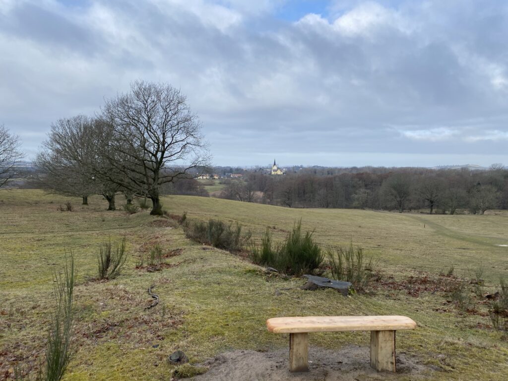
We keep to the right until we reach the golf course which we cross and arrive at Dalkildegårds Allé. Here we go left. We walk past Faaborg Golfklub’s charming clubhouse and follow the path to the left around the clubhouse. When the path starts leading to the right, we choose to go left and immediately to the right again to a marked route. The route leads us to the top of a hill where we find the most gorgeous view of Svanninge Hills.
After enjoying our coffee here with the glorious view, we choose to go left around the fence. We take a right and end up in an area where the cattle occasionally grasses. We are lucky and there are no cattle. We follow the marked route down the fields and by the time we reach the edge of a live fence we make a sharp left. We quickly realized our mistake as we are now walking in dense vegetation and across a moist meadow until we reach Nørremarken. A bit out, we go left on the small path next to some beautiful old stone settings. We take a left down Brahesvej and also walk past Skerringehøjuntil we reach Svanninge churchwhich is a sight for sore eyes.
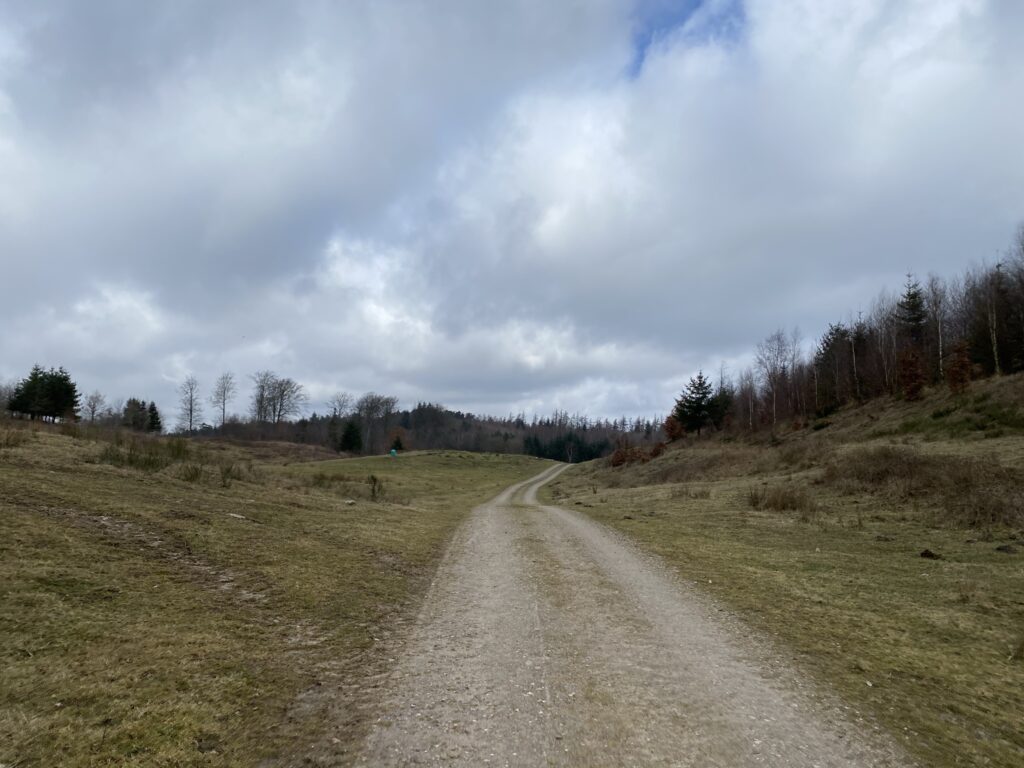
We go left right before the church down Bjergvej and past the beautiful rectory. We follow Bjergvej up through the forest and almost at the top we take a right into a gravel road that mostly looks like a driveway. We cross the farm on it’s left and behind it is the big open field by the feet of Svanninge Hills. Here we walk nearly 6 kilometres on the gravel road until we go left up the hills. On the top we decide to have our lunch break with a view over Dyreborg, Bjarnø, Avernakø, Korshavn and Ærø - if the weather allows it.
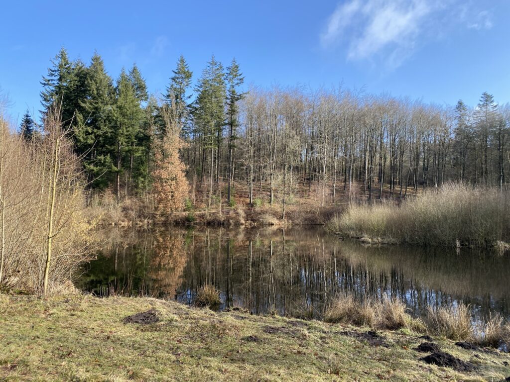
After lunch we continue outside the fence among the edge of the forest and when we reach the bottom, we go left and we can now cross Odensevej. Now we headed towards the Svanninge Mountains. We follow the big forest road up to Feltstation Svanninge Bjergewhere we go right around it. We go left on the first occasion and reach Åkande Sø. We continue walking left around the lake and walk by Jagtsø.
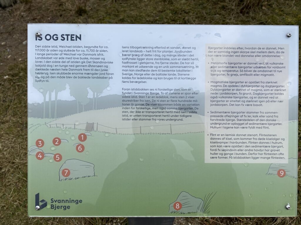
As we once again reach a larger forest road, we go left and are now headed toward Lerbjergwhich is the tallest point in the area with it’s 126 metres. We proceed to walk on the forest road and by the end of it, we go left. Right before the turn, we see a large collection of rocks that each has a little tag with an explanation of its origin and age written on it. A board tells about the creation of the area.
A little wiser on the topic of the geology in Denmark we continue down the forest road - first we stick to the left and then to the right and we end up back on Odensevej and the parking lot across the road.
The hike is approximately 10 kilometres long and most of the time it goes through areas where there is a chance of grassing cattels
Click on the map below and it will open in Google Maps. From here, you can follow the route as you are hiking.
