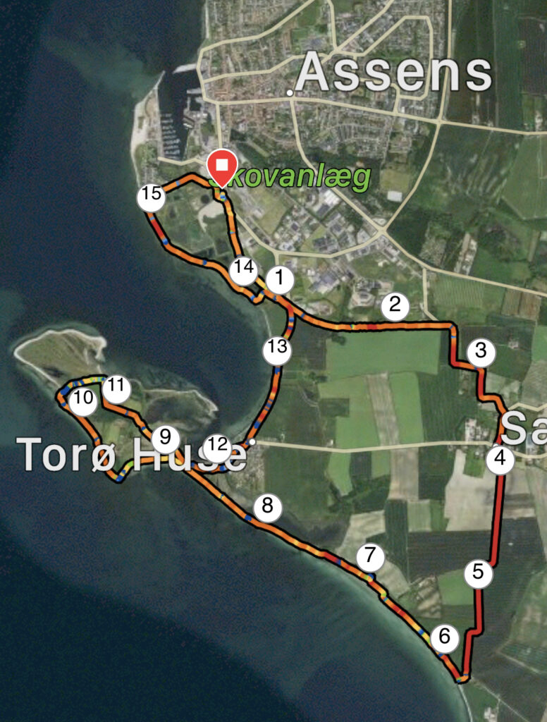
Torø, Assens. 16 km
Just a little south of Assens is the small island Torø or Thorø (There are divided opinions about the spelling, so we continue with Torø.) Today, the island is landlocked with Funen, so we can always discuss whether it should be called an island. Torø is owned by the Danish Teachers' Association, but there is public access to the island. Before we describe more about Torø, however, we need to start somewhere else.
We have set our GPS to Søndre Ringvej 20, 5610 Assens, where we find a nice parking space for our car. The car park is directly opposite Assens Sukkerfabrik, built in 1884. With its location by the harbor, by the railway and Kærum river for many years, the sugar factory was a large and important workplace for Assens and the surrounding area.
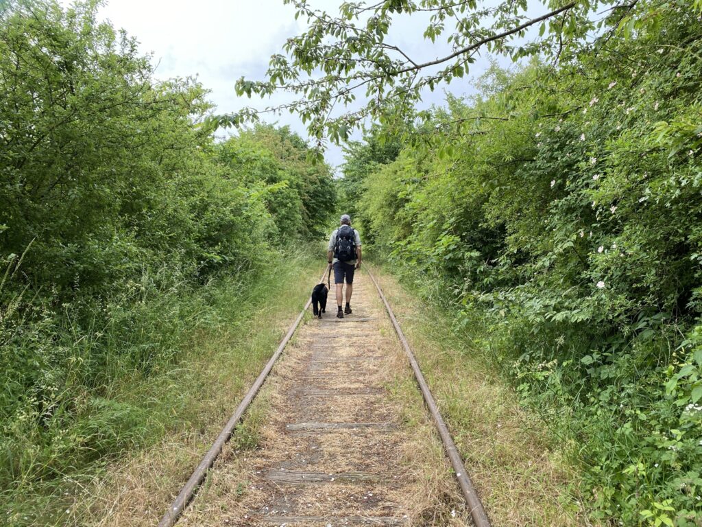
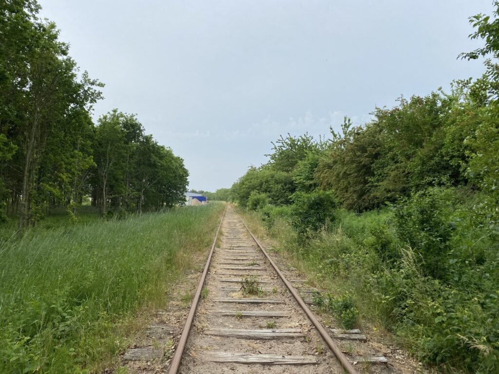
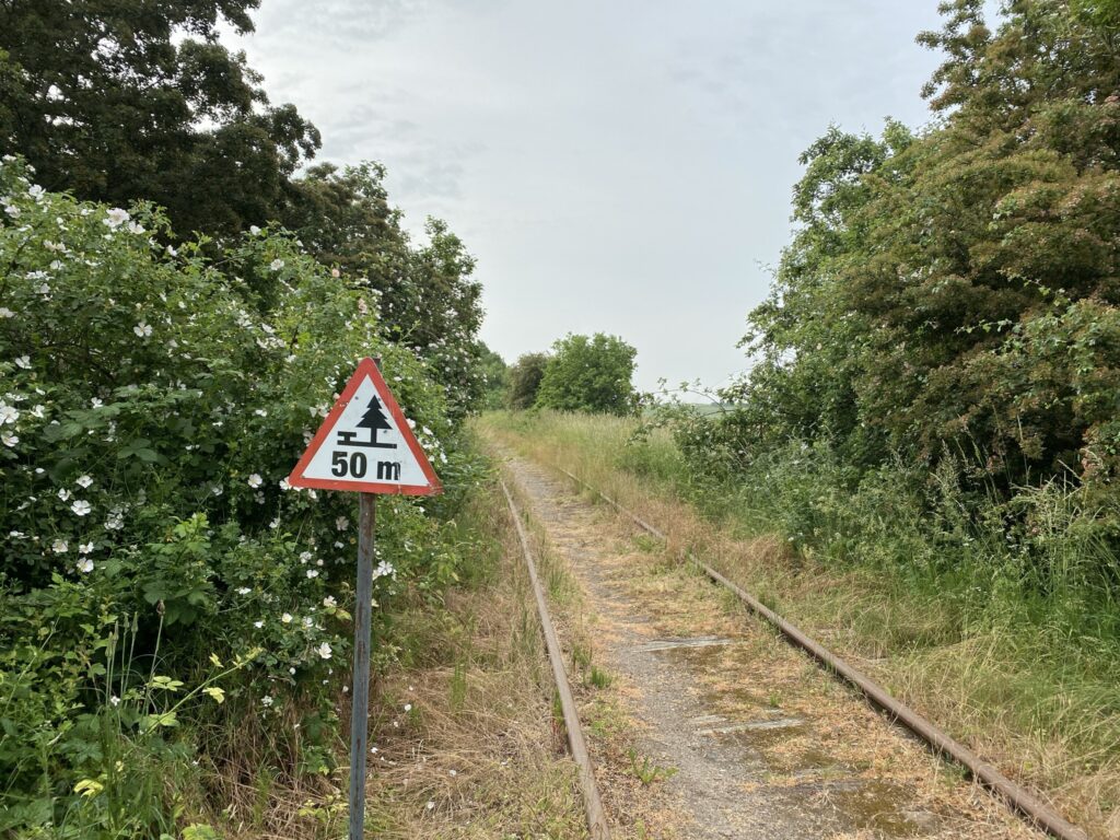
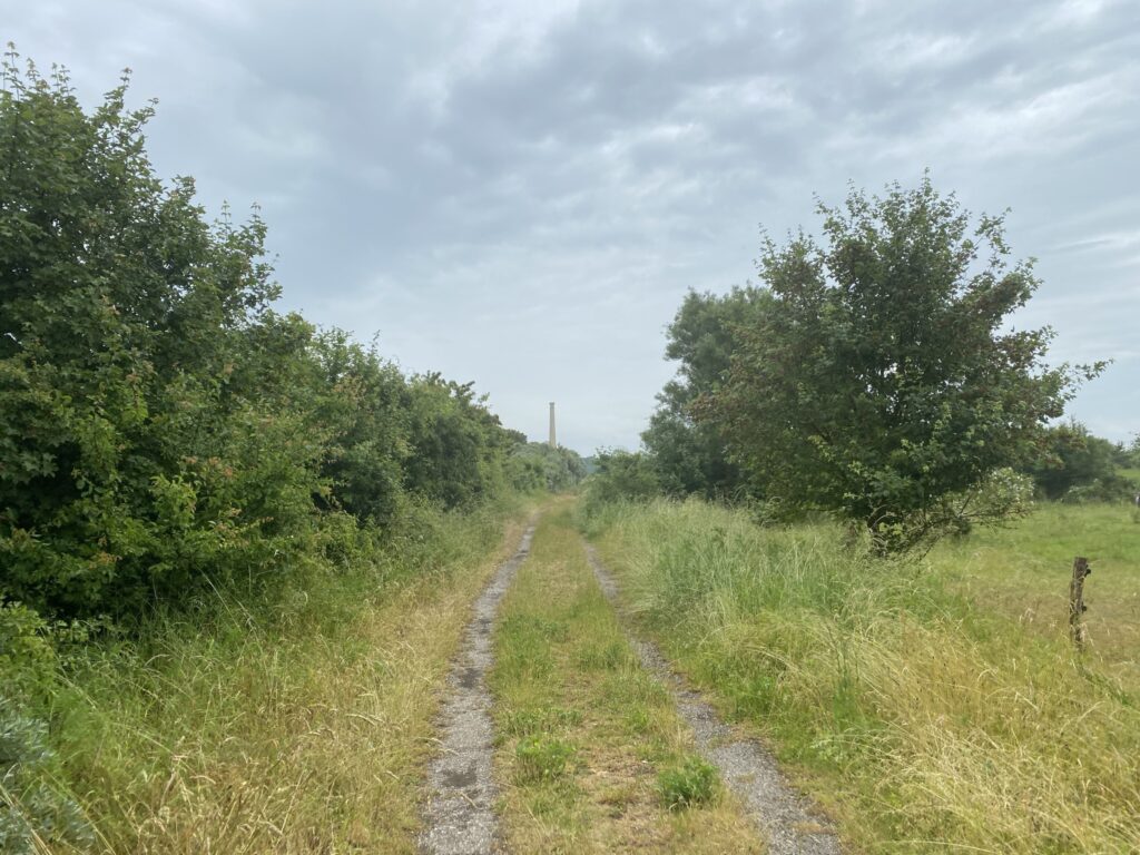
We start out by walking along the now disused railway, and are not tempted to take The rail bikes, which can be used all the way from Assens to Tommerup St.
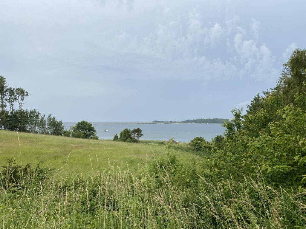
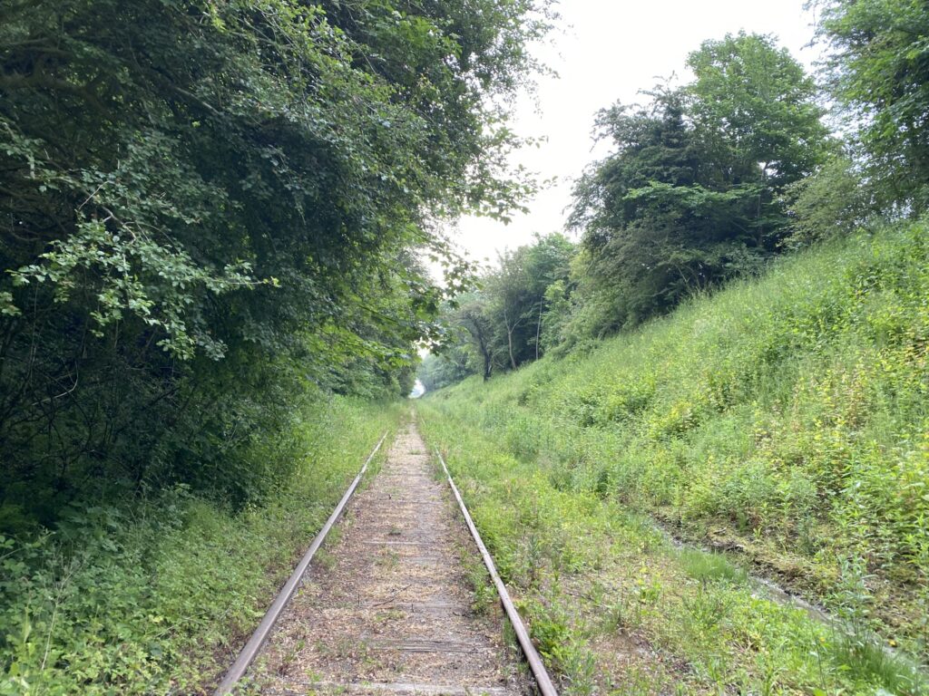
The journey along the railway body is quite varied despite the fact that the railway mainly goes straight ahead. In some places we walk with tall vegetation on both sides and above us, in some places it is open with a view over Torø Vig and in other places again there are high embankments on both sides. On the almost 2.5 kilometer stretch we walk along the track, we see 3 times deer and several hares.
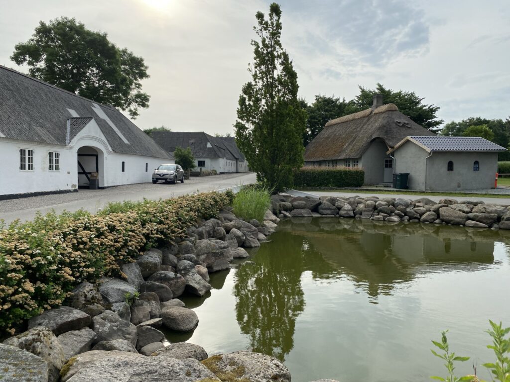
As the line crosses Egebjergvej we turn right and follow Egebjergvej until we come to a T-junction in the small town of Saltofte. Here we go right along Lerbjergvej, where we enjoy the old houses, with the many beautiful flowers outside. At the end of Lerbjergvej we go left and immediately right again just before the small pond along Å Strandvej.
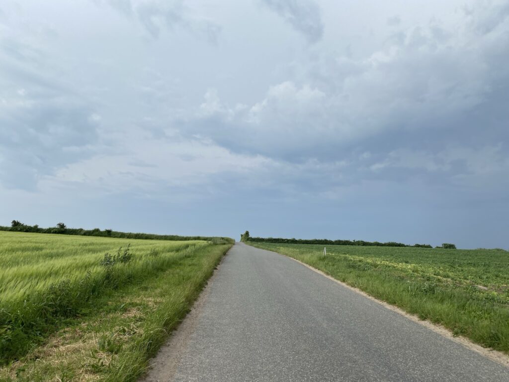
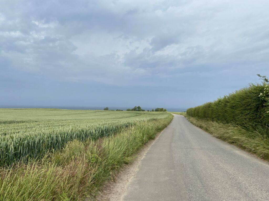
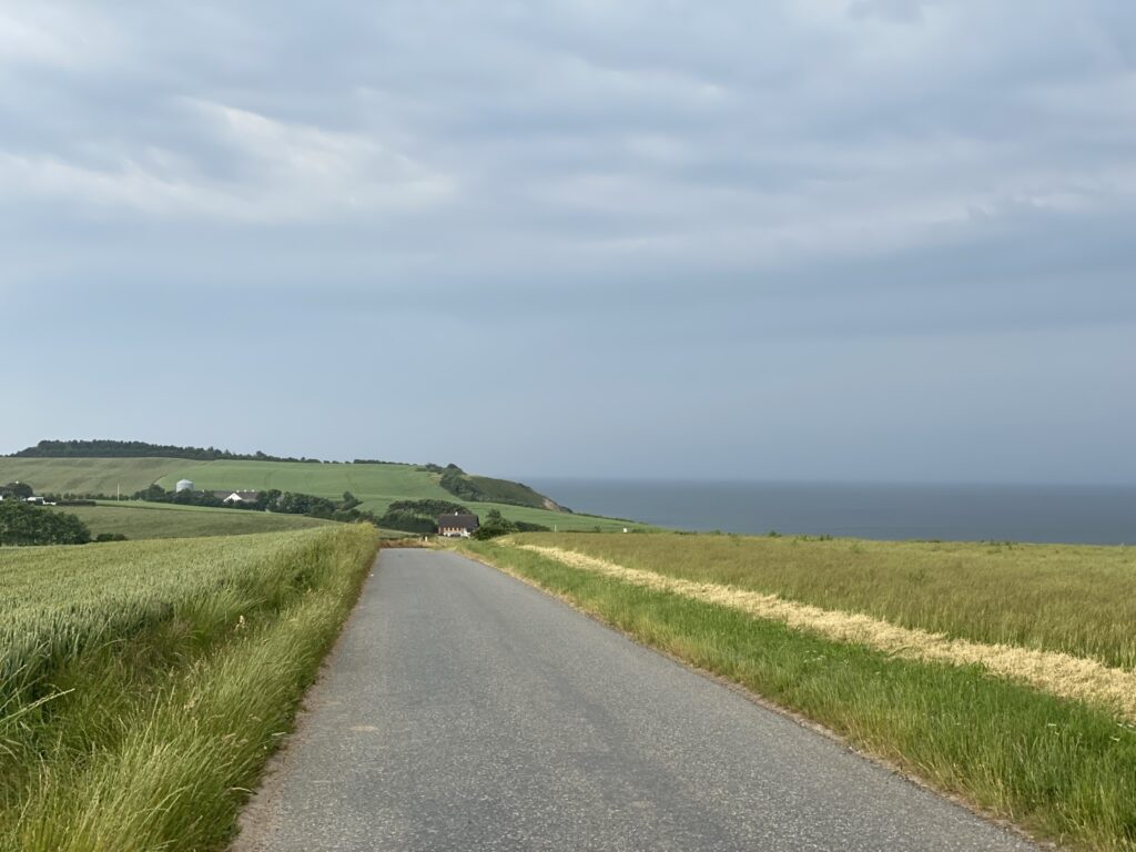
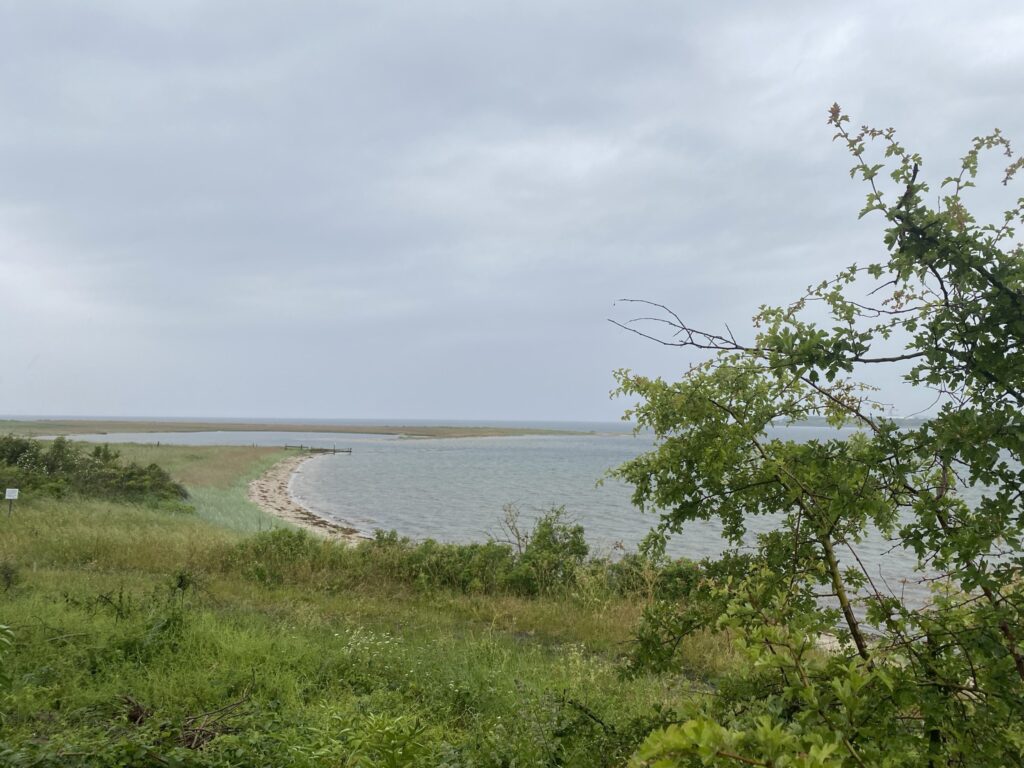
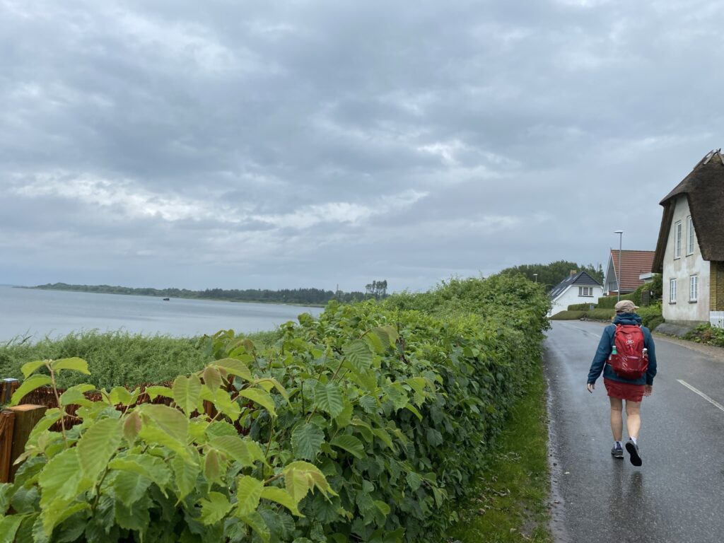
Å Strandvej is a long straight road, but the many hills and beautiful fields make the trip a pleasure. After the long straight section, Å Strandvej beats until several strokes to the right and left. We now get a beautiful view of the sea.
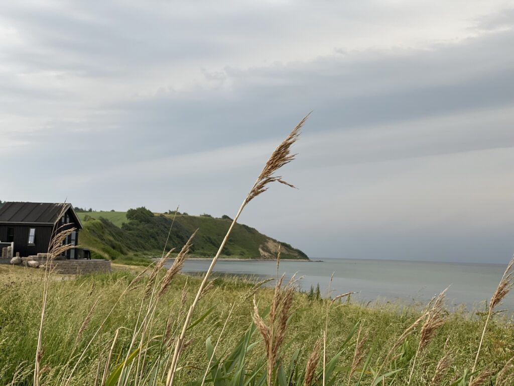
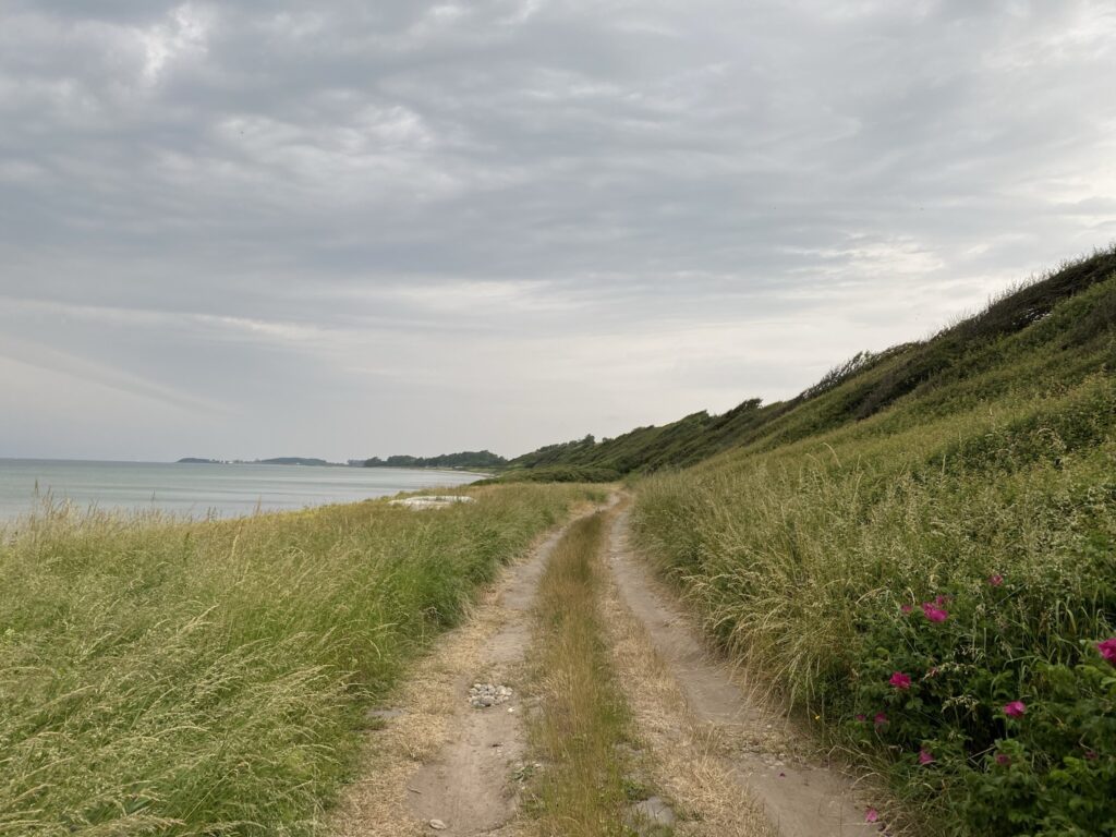
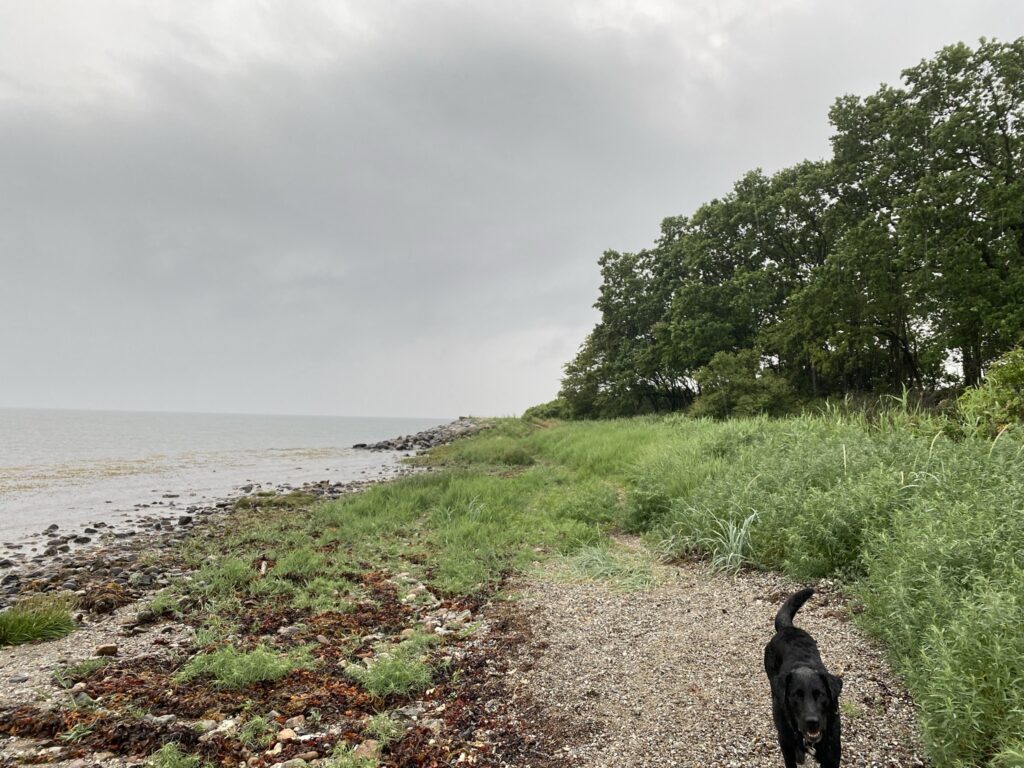
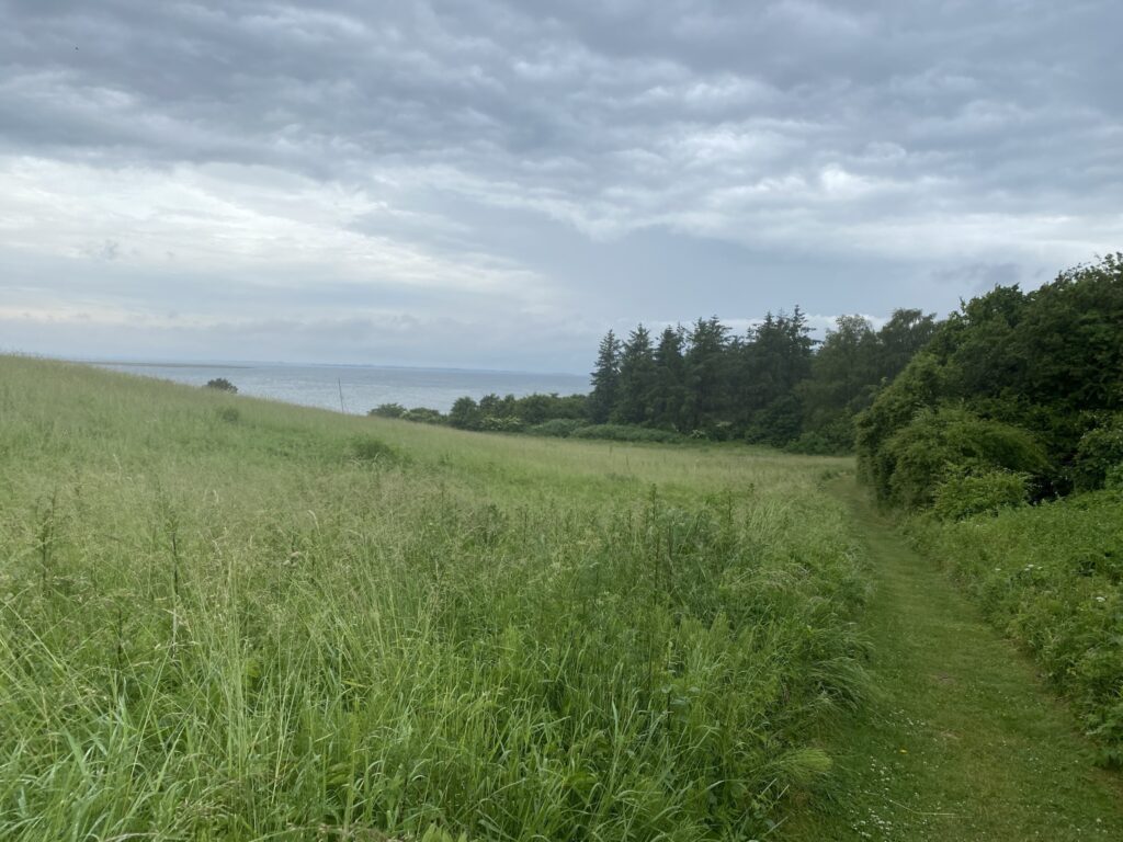
At the end of Å Strandvej there is a table-bench set, where you can enjoy your brought food and coffee. We now turn right onto the gravel road and walk down to the water and the small primitive tent site. The view south with the high slopes is fantastically enticing, but we have decided to go to Torø, so we go north.
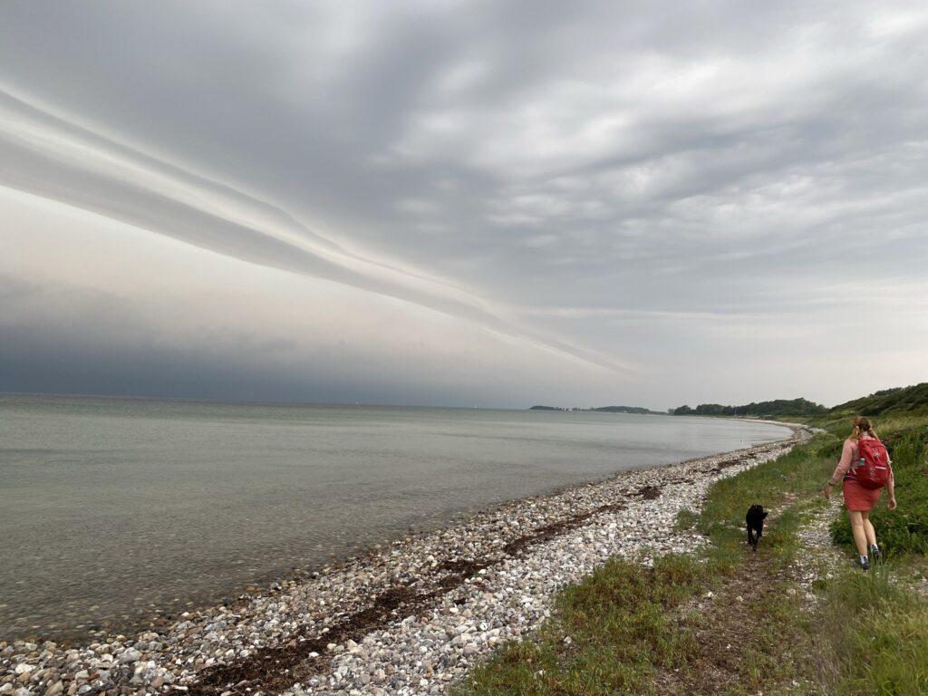
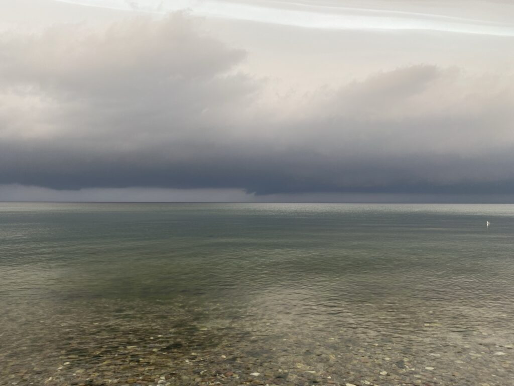
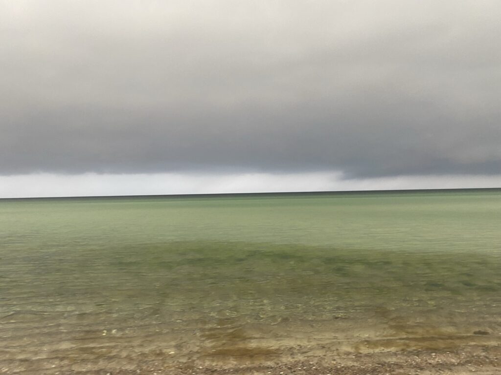
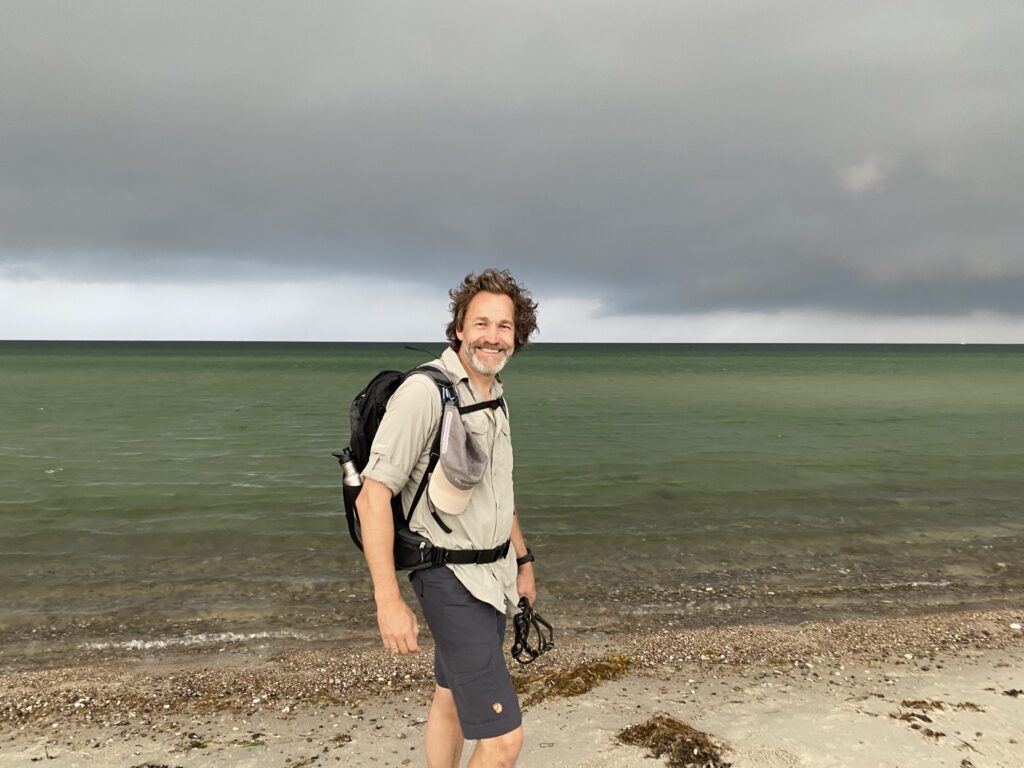
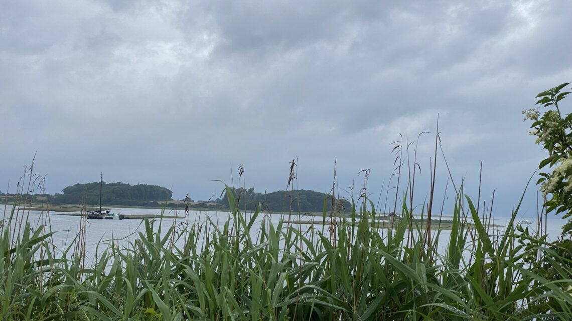
As you can see from the previous picture, it draws up to rain and thunder, and it gives some absolutely fantastic play of colors over the water.
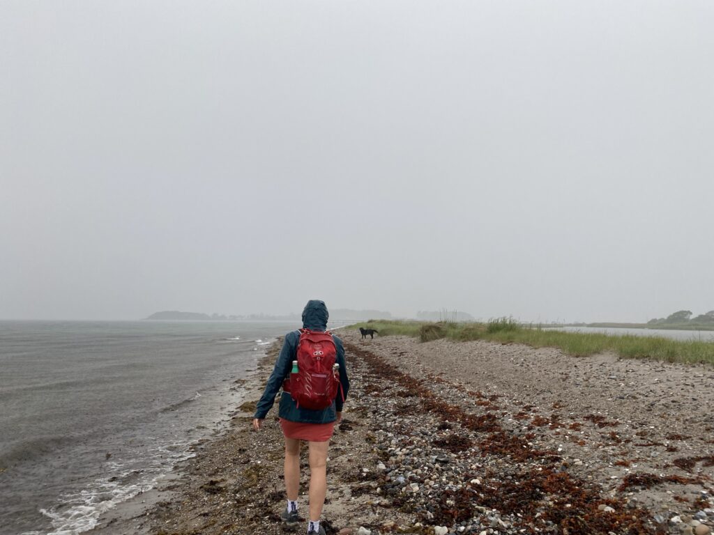
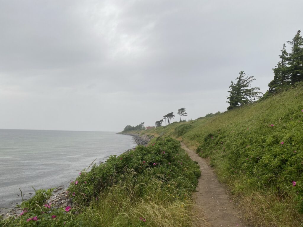
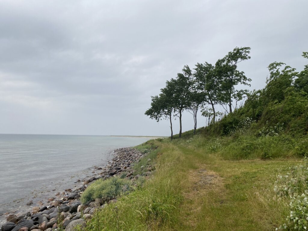
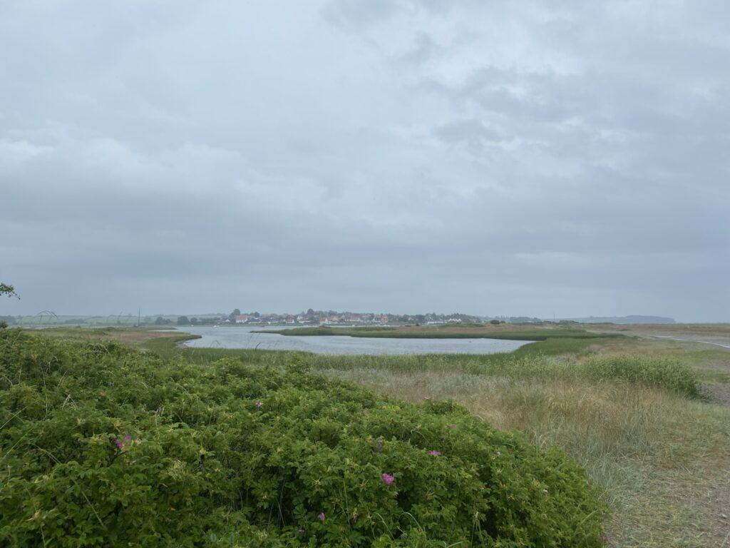
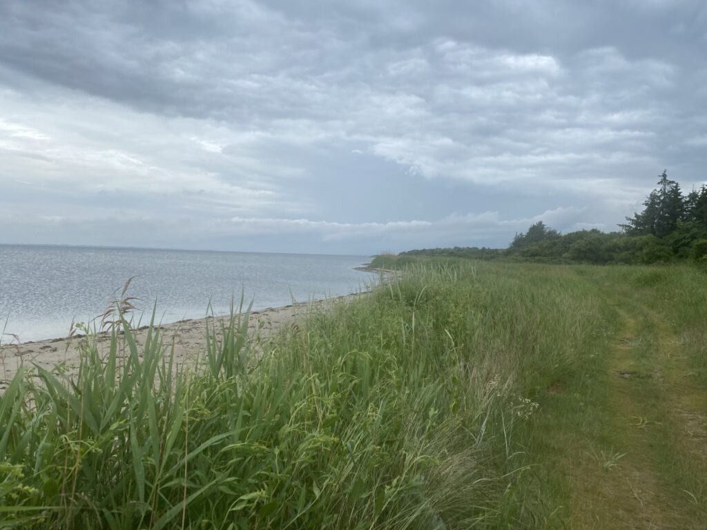
After being sheltered from rain as well as lightning and thunder for about 15 minutes, we decide to continue. The tour goes along the water and we pass Saltofte beach, which on a hot summer day invites you to a dip. On our right side we pass a larger lake, and with a view over to Torø Huse we continue along the water over to Torø itself. On Torø, traces have been found all the way back to the early Jaeger Stone Age – approx. 5,400 f.kr. Delicious hiking trails have been made on the island in close cooperation between the owners and Assens Municipality. The trip continues along the path along the sea, and we round an embankment, after which we have a nice look out towards the tip of Torø called Vesterkær. The area is closed to access from 1 March to 15 July due to breeding birds.
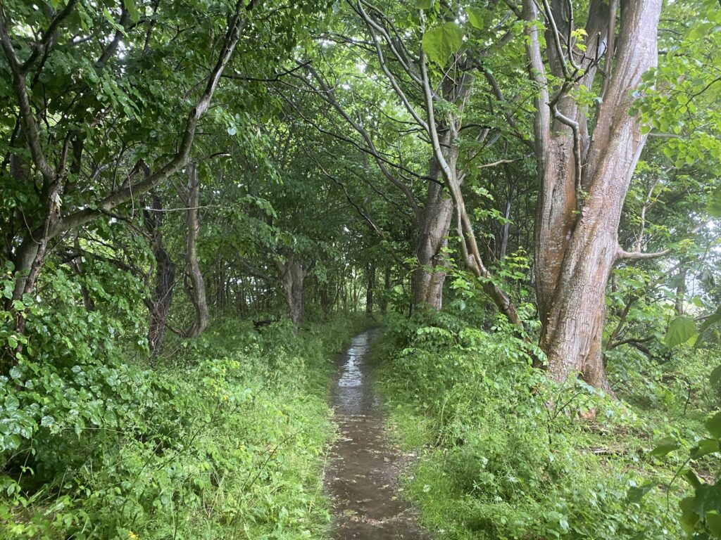
We must benefit from the trip out over Vesterkær, so we go right through the forest along a rather narrow path. The path is in several places equipped with benches from where you can enjoy the view over Vesterkær and perhaps watch birds. Since we are not allowed to walk any further, we go right along a dirt road, and now come over to the other side of Torø, from where there is a view towards Torø Huse.
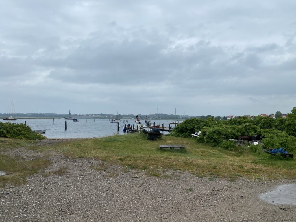
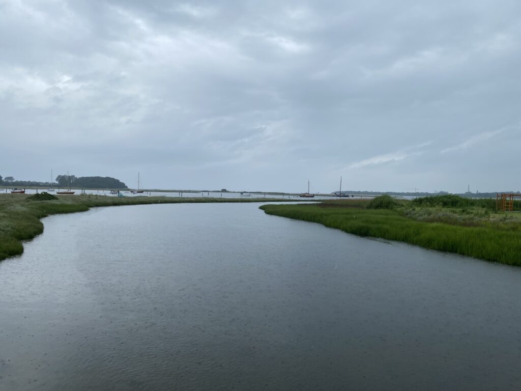
We are now approaching the harbour on Torø, and have a nice view over the cove at Torø Huse, where there are several smaller boats and cutters. There is also an old wreck, which the owner has not yet had moved despite several orders. The small fishing village used to be home to the poet Jacob Gade. We follow Drejet, and come across the bridge that connects Torø with Funen.
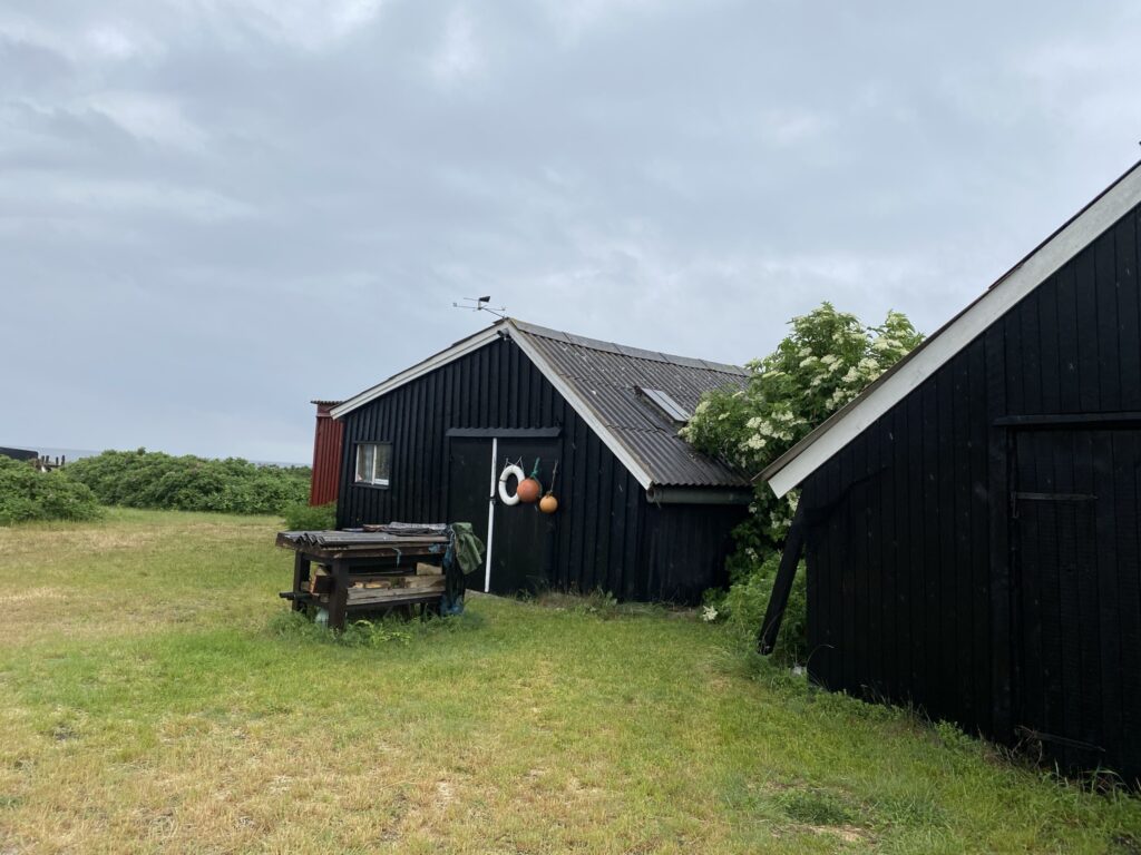
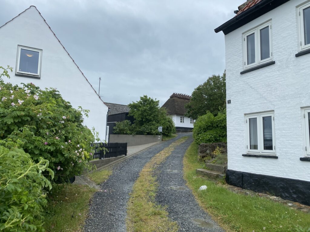
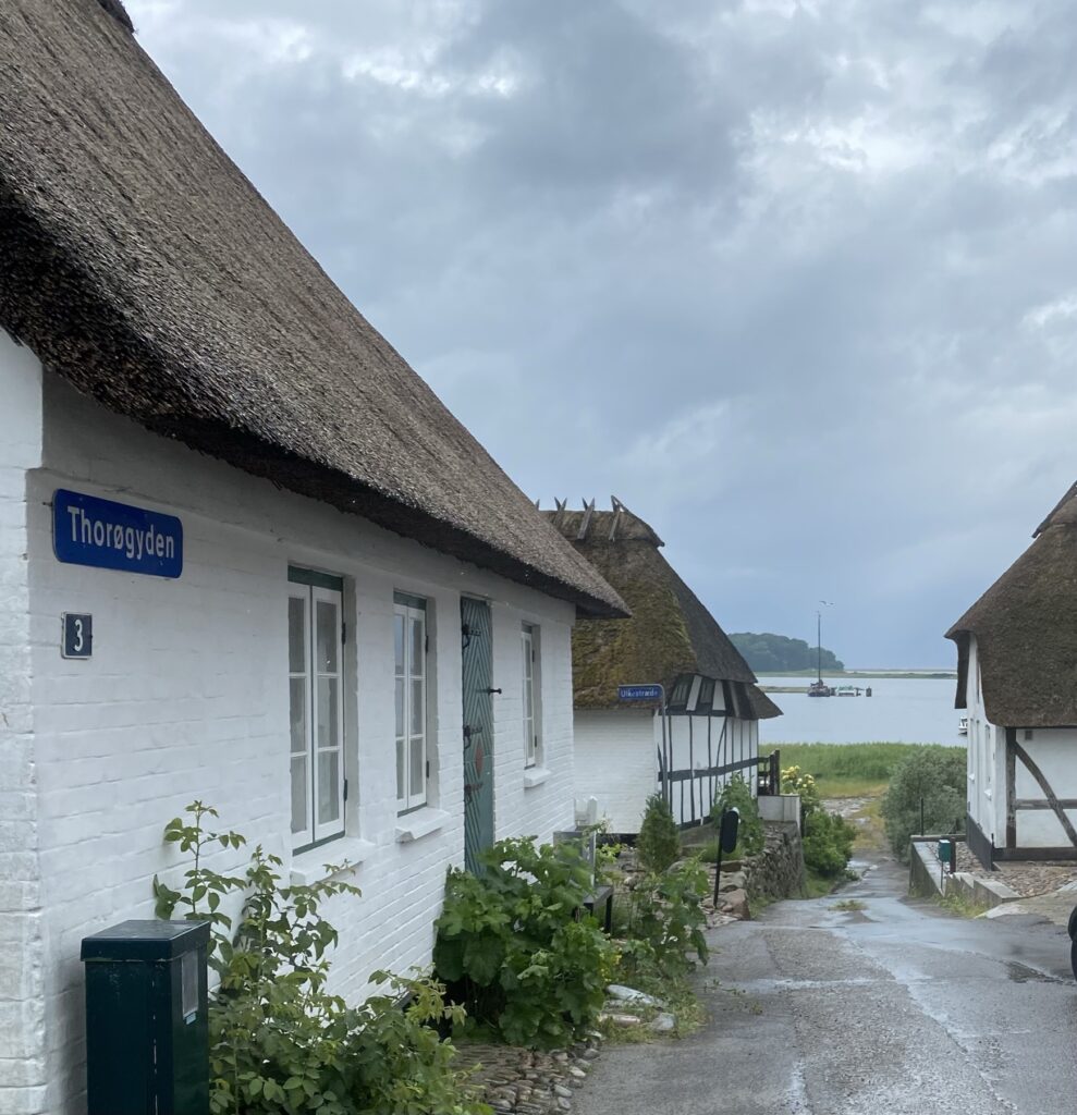
We now go up through Torø Huse, where we follow Fiskemaen and the path between Torø Huse and Assens, which is approx. 3 km. long. (However, we deviate from the trail in several places.) Torø Huse is filled with idyllic houses with flowers, roses and hollyhocks outside. We choose to follow Torø Huse Vej rather than walk along the water. The road has a beautiful view of Torø Vig with Torø behind us and Assens in front of us.
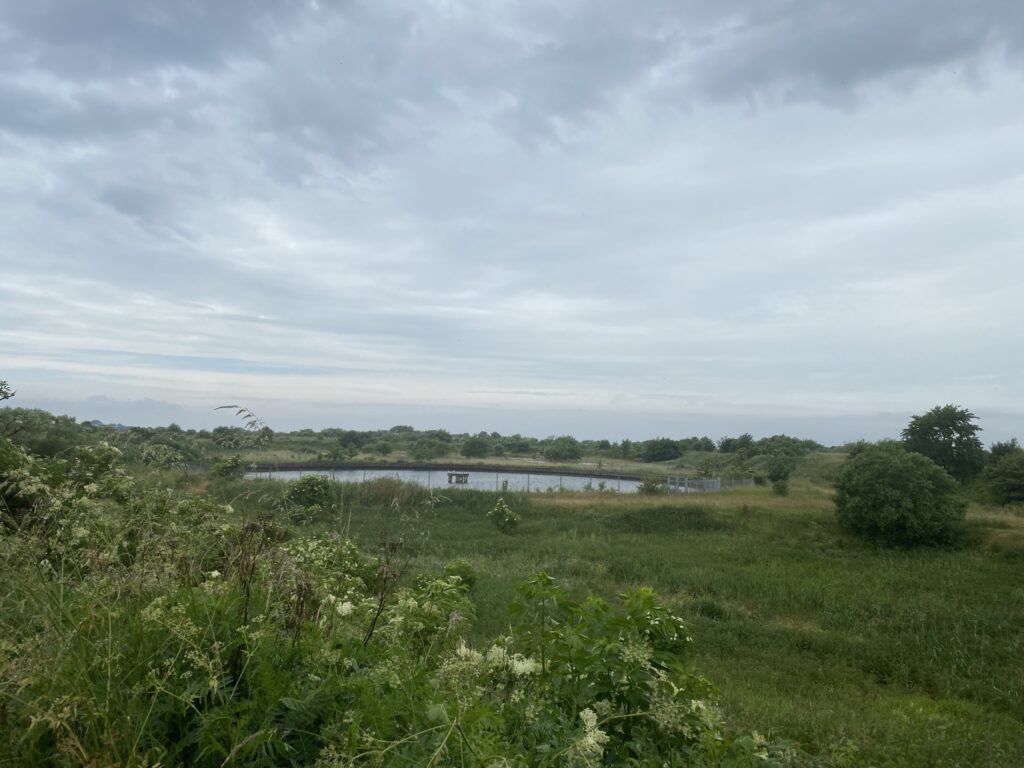
We continue along Torø Huse Vej until we again come to the disused railway. Here we go left, and just 100 meters later we go left down a beautifully mowed meadow. Despite several possible detours, we continue undeterred all the way down to the water, where we go to the right. We now walk with the water on our left, and on our right side we have the earth basins. It is an area of approx. 40 ha., which is an area created by the soil that for many years has been washed by the sugar beets that came to the sugar cookeries in Assens. The entire area is now about 10 meters above sea level. In the area, biological water treatment plants and biogas production have been established and the plants can still be seen.
We follow the yellow route in the area and after about 15 kilometers turn right onto the yellow path that leads us back to our starting point.
The walk is 16 kilometers long
If you want to read more about what Assens has to offer, go to Visit Assens.
Click on the map below and it will open in Google Maps. From here, you can follow the route as you are hiking.
