Trente Mølle, Faaborg. 11 km
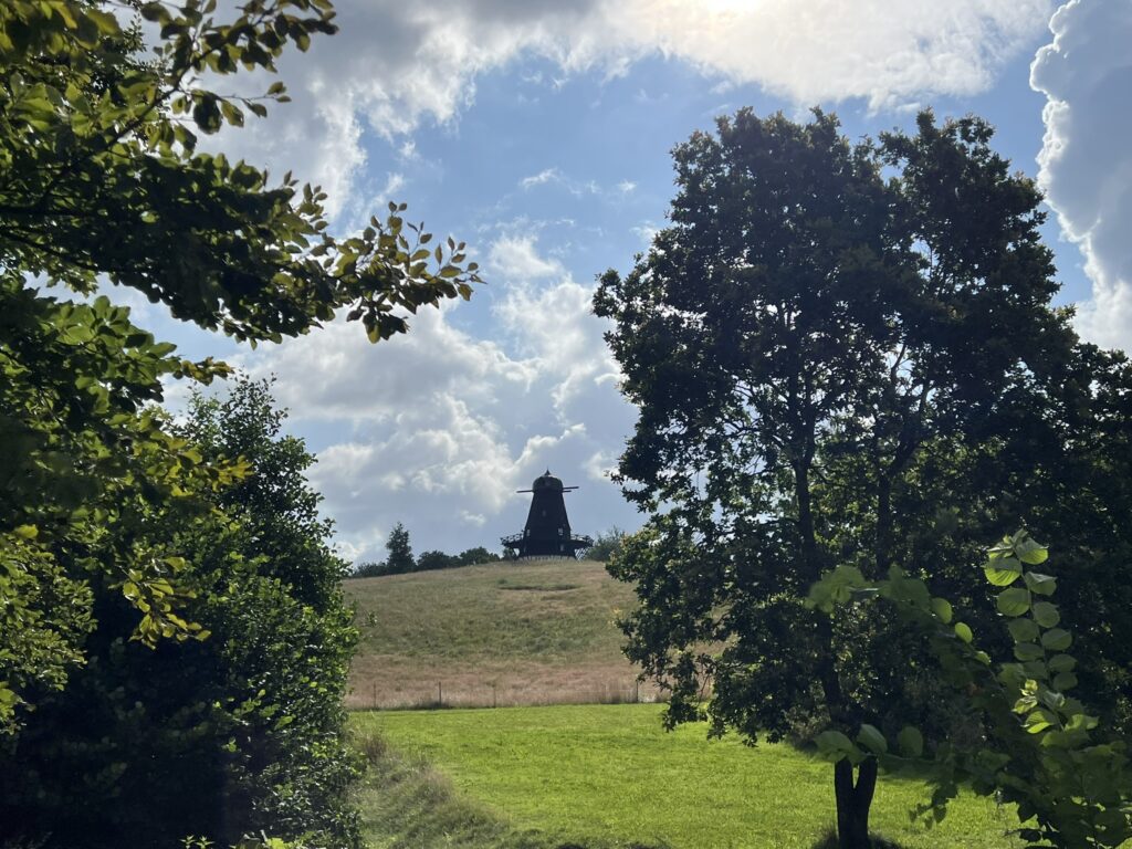
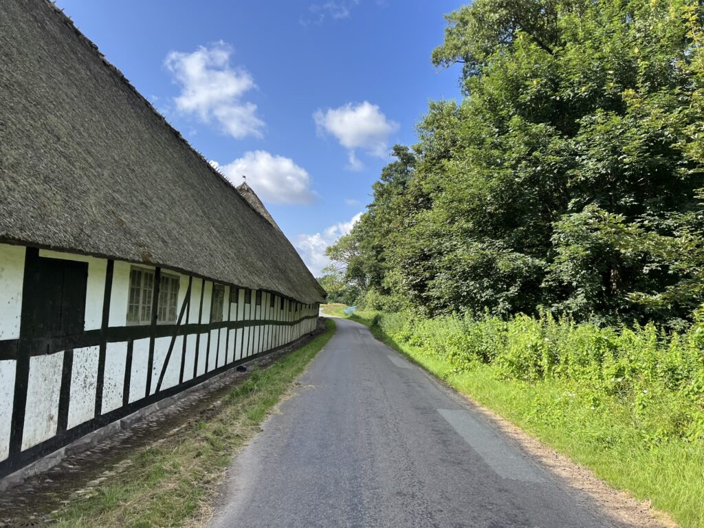
In beautiful surroundings, about 10 kilometers north of Faaborg, lies Trente Mølle Nature School. We have set our GPS to the address Trente Mølle Nature School, Trentevej 7, 5672 Broby, and the beautiful old windmill from 1872 welcomes us at the top of the hill. Trente Mølle is originally a water mill from about the 16th century, which was only later supplemented with a windmill.
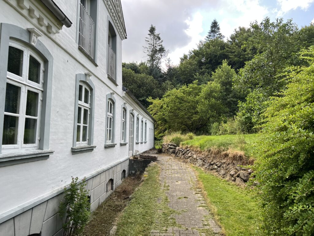
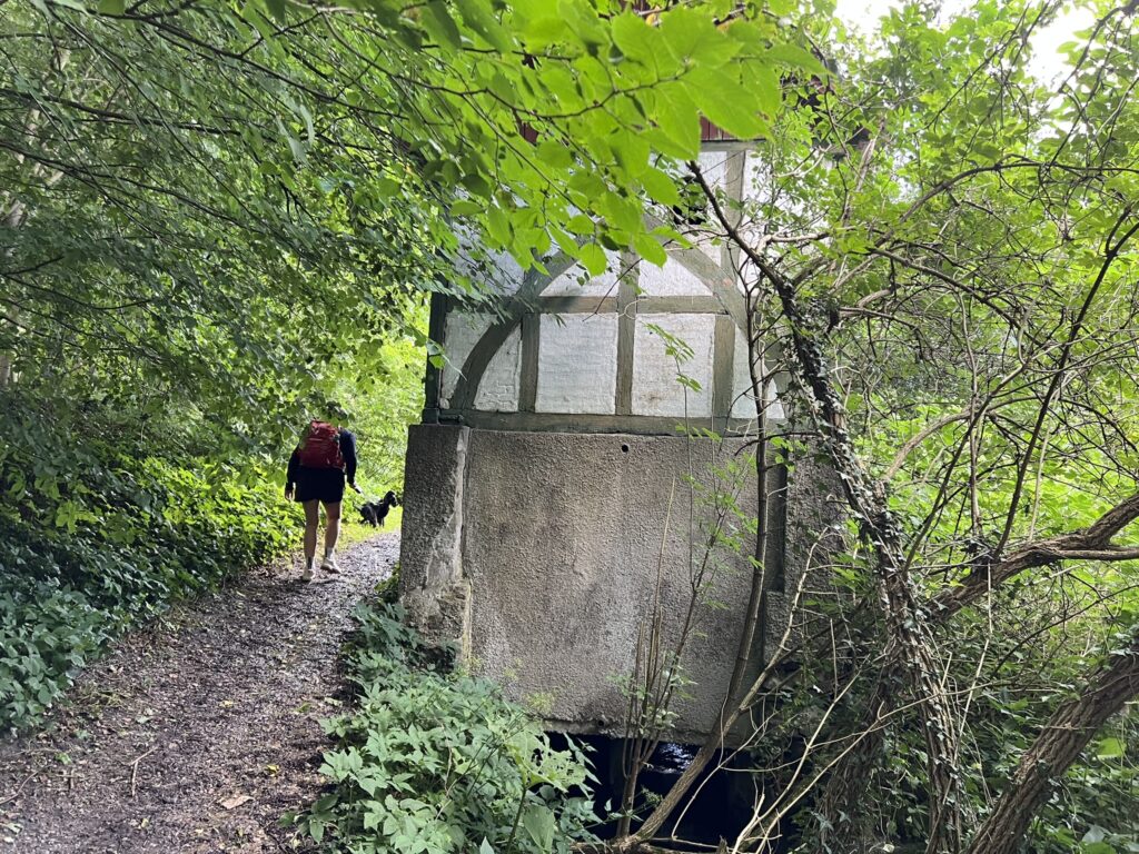
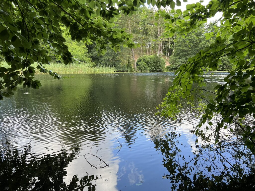
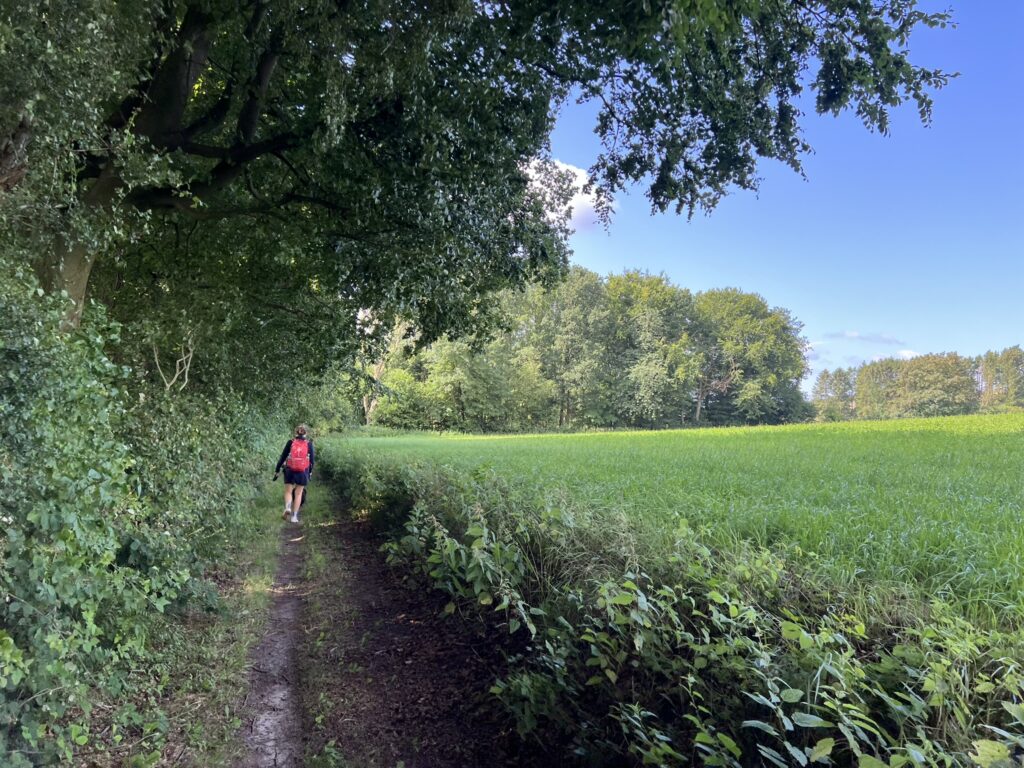
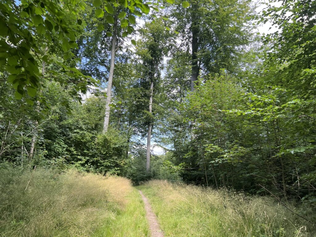
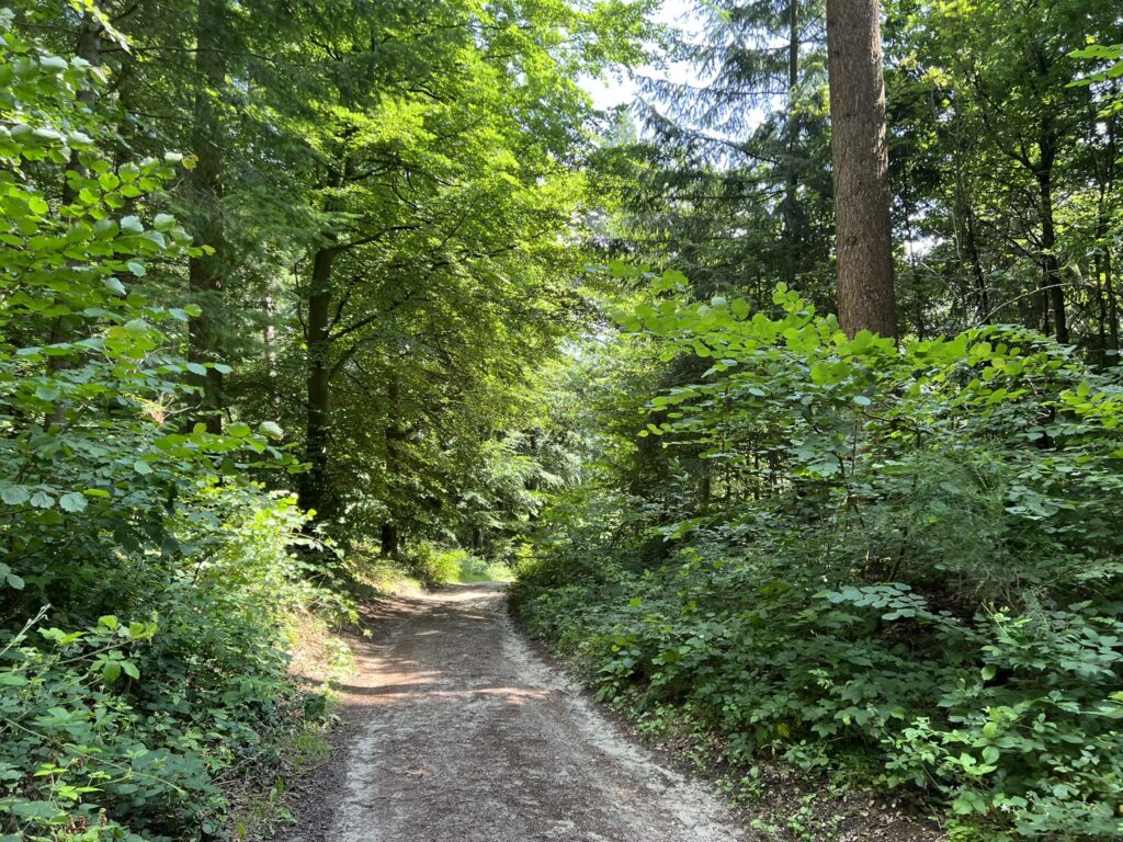
We park in the parking lot at Trente Mølle Naturskole and start our walk by walking along Trentevej and turning left along the nature school building, so we have the house on the left and the lake on the right. At the bottom of the garden we walk over a small wooden bridge and turn right onto a forest path, which takes us past the watermill and the lake.
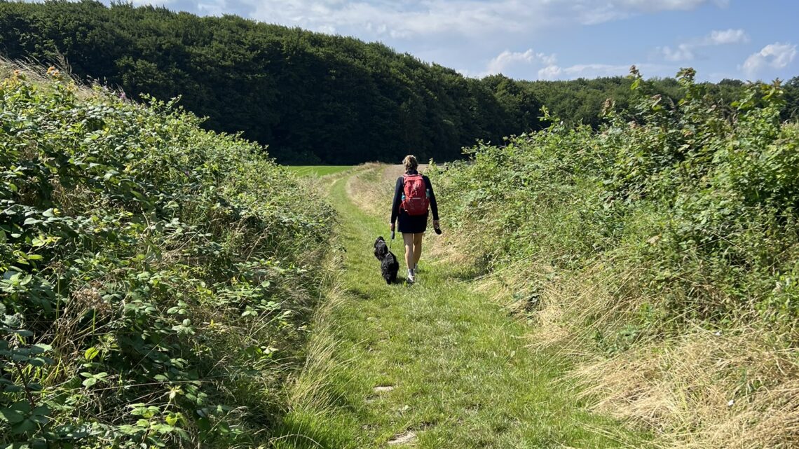
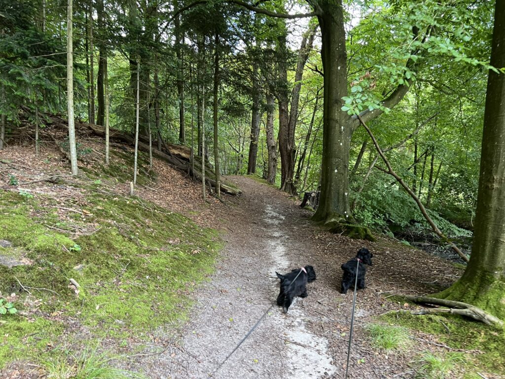
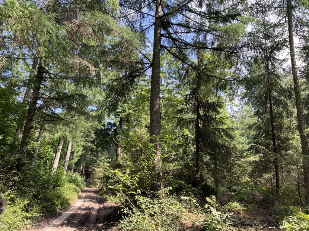
We continue along the beautiful path through the forest, keep to the right and then come out onto Trentevej again, where we go left. After about 500 meters we turn left onto Øhavsstien. (This hiking route follows part of the Øhavsstien, but we have made it a round trip). We come down to a forest, where we walk on the edge of the forest.
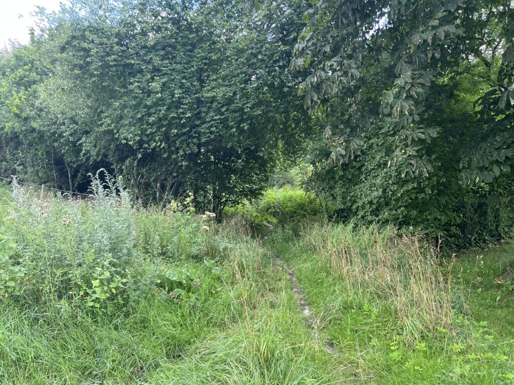
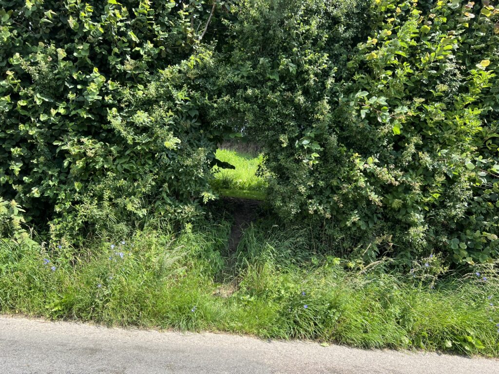
After about 2.5 kilometers we turn left into the forest and cross a small road (Skelbanke), and now move out into the open fields, where there is a fantastic view of the landscape. In Kronborgvej and come out again on Skelbanke, where we turn left. After about 100 meters we turn right onto a very small path/animal crossing, which soon becomes a slightly more accessible path. We come out to Stubbedam, where we turn left and shortly after we turn right again onto Radbyvej. These roads are very small, and what we see of traffic is quite limited.
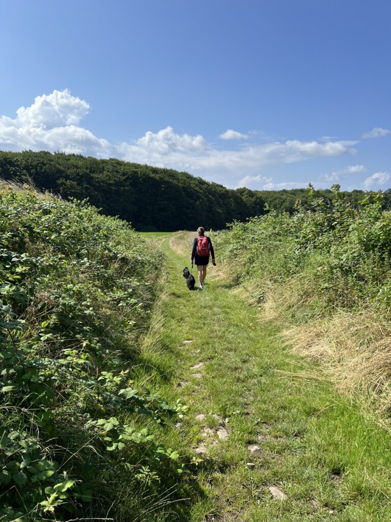
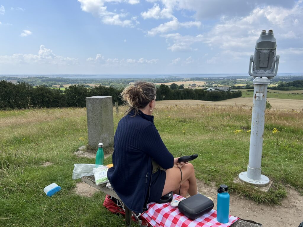
We continue along Radbyvej for about 400 meters until we reach no. 42, where we turn right through the trees opposite and onto a path. This is again the Øhavsstien, and we keep to the right. Up at the top of the hill is a bench where we sit and enjoy the beautiful view of the landscape. We have walked about 6 kilometers here.
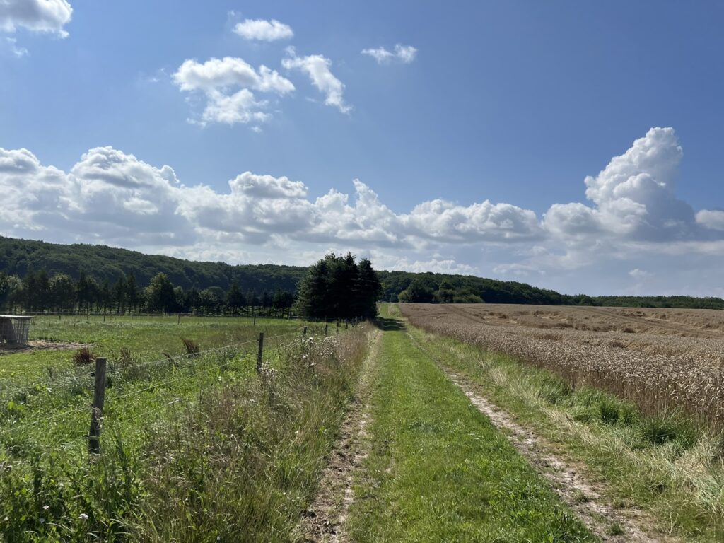
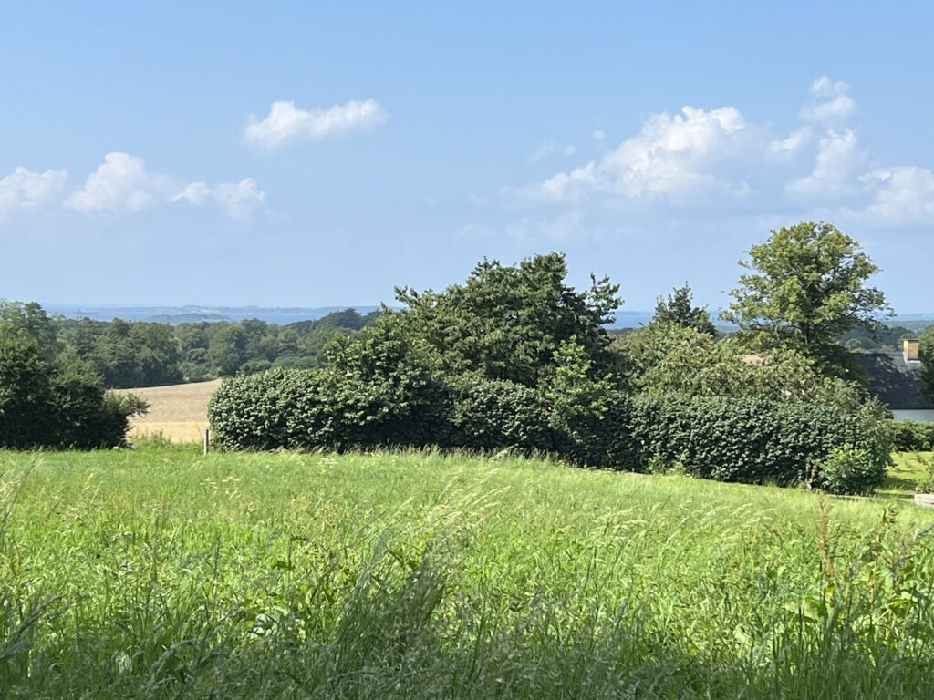
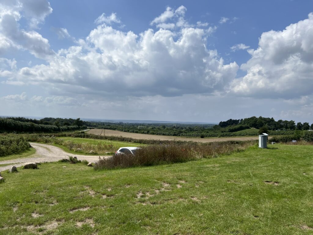
After a well-deserved break, the tour continues, and we walk along fields and windbreaks and now come up to one of the highlights of the tour in more ways than one. We arrive at Trebjerg, which with its 128 meters above sea level is the third highest point on Funen, and here is a fantastic view of the Funen Alps and the archipelago. On a good day we can see all the way to Jutland. An absolutely breathtaking view, which again calls for a break and time to enjoy the beautiful view and at the same time think about what forces have shaped this beautiful landscape during the ice age.
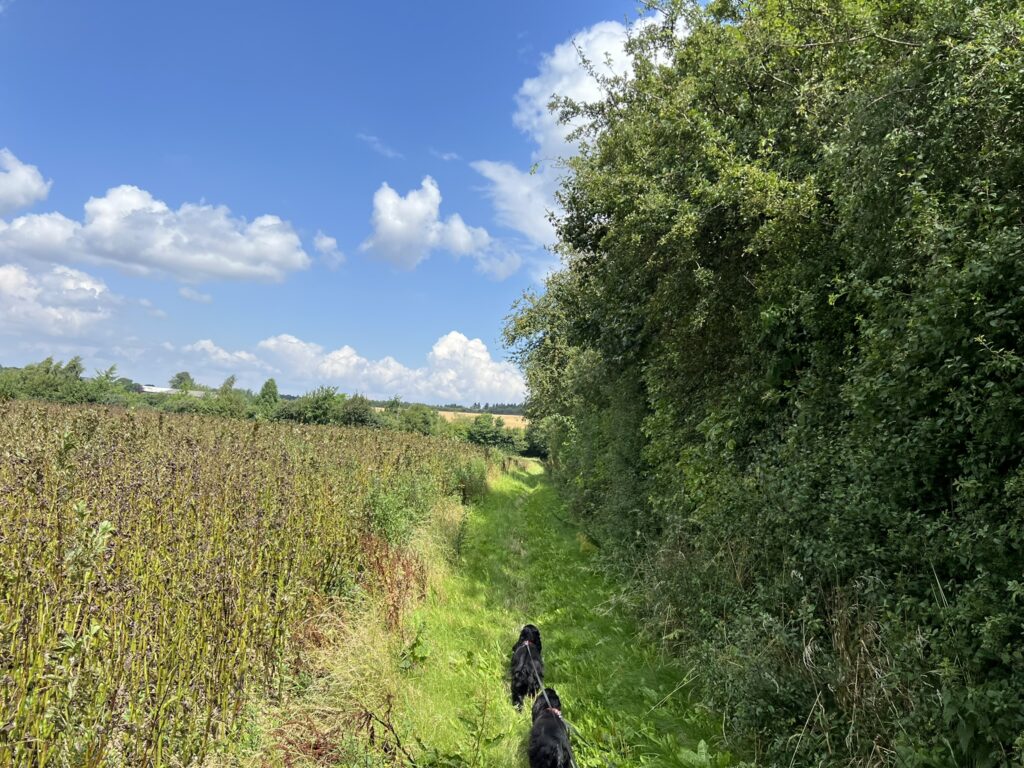
We finish enjoying the view and continue down over the fields and now come to Dronningeudsigten, which is located a little lower than Trebjerg, but which still offers a wonderful view. We continue to the right along Stenlund, and after a good 9 kilometers we turn right onto a forest road. After about 500 meters we turn left and follow the forest road until we come out onto the paved road “Østrup”. Here we turn left and after a good 300 meters we return to our starting point.
The trip is about 11 kilometers long.
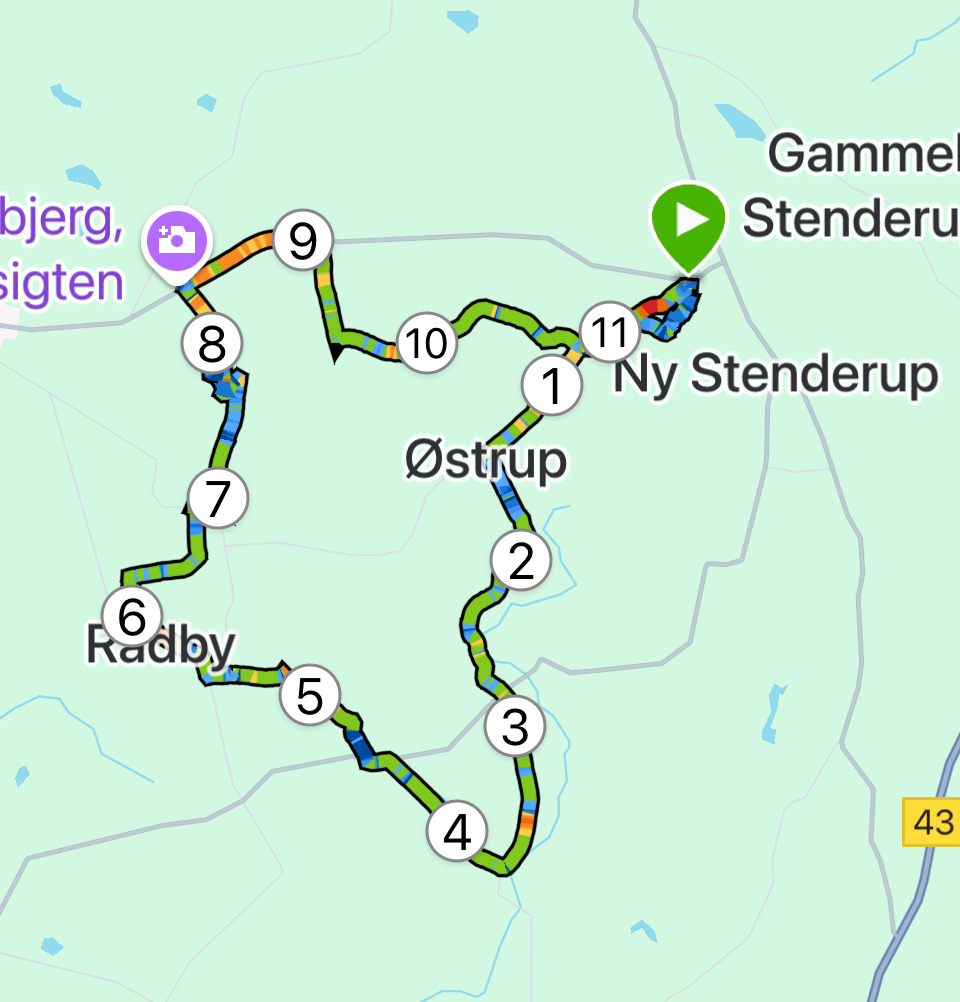
Click on the map below and it will open in Google Maps. From here, you can follow the route as you are hiking.