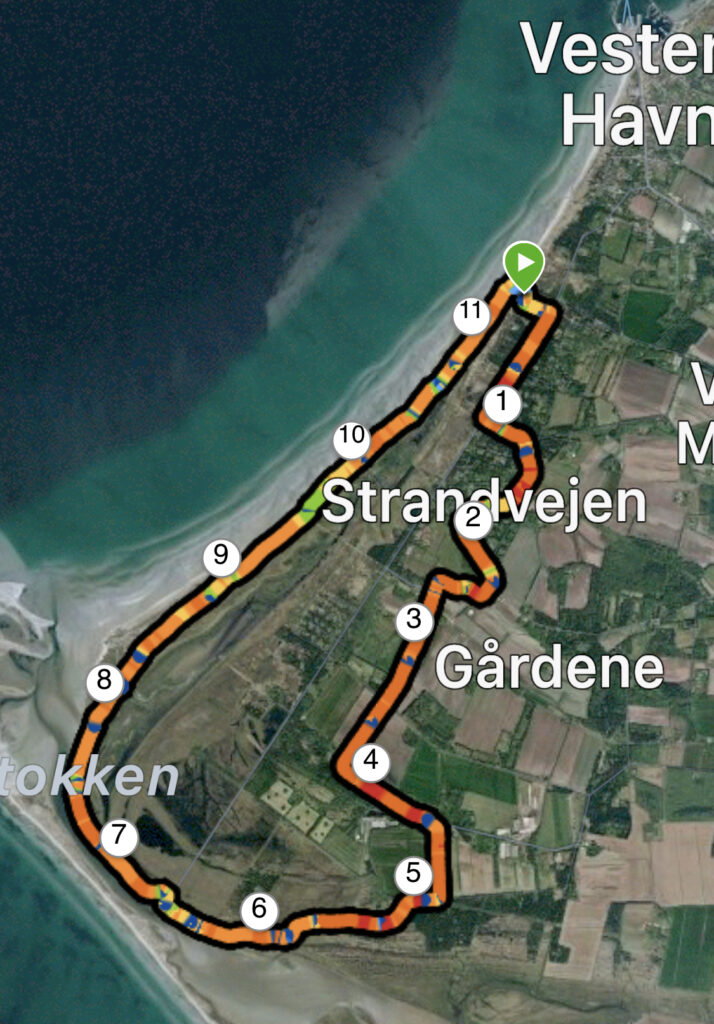
Læsø: Fannemann, Stokken. 12 km.
On the north-west side of Læsø is Vesterø Harbour, and if you drive south-west along Strandvejen you can set your GPS to Kongevejen 31, 9940 Læsø. You will then be directed to a parking space, which is sheltered behind the dunes, but right next to the water.
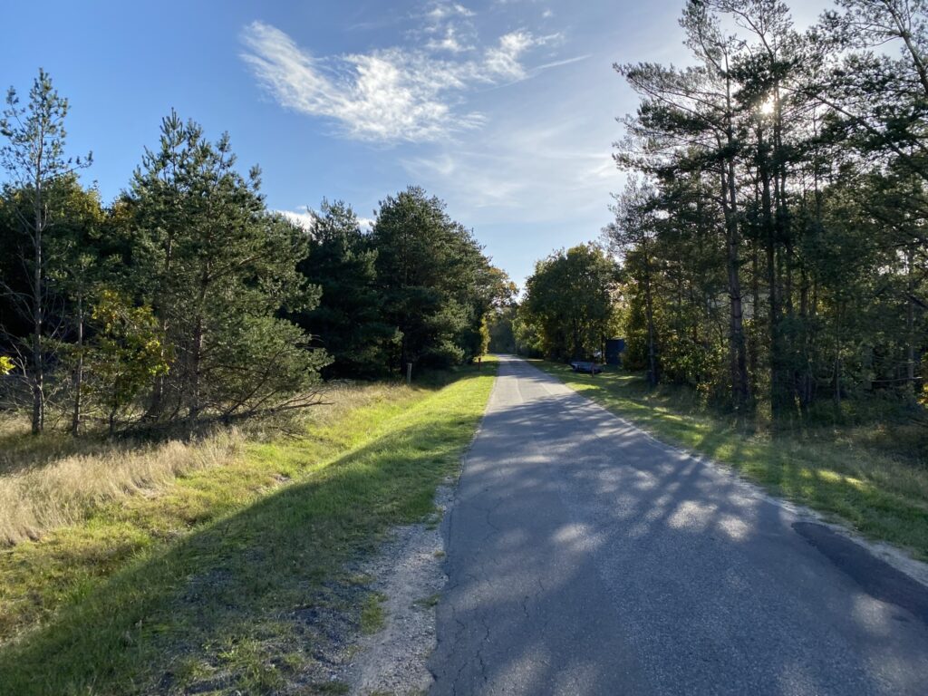
We park at the far end of the car park and start our trip by walking away from the water and across the heath until we reach Strandvejen. We go to the right and follow Strandvejen for almost 1 kilometre. It goes quickly on the paved road, but we take our time to enjoy the beautiful view over the water.

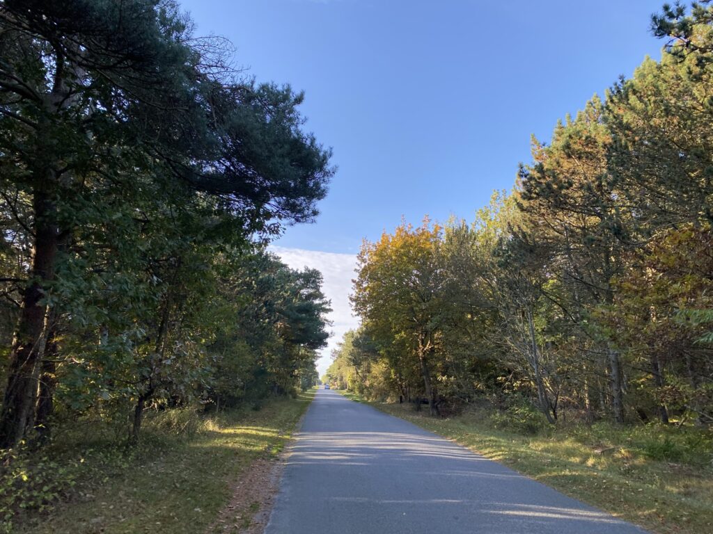
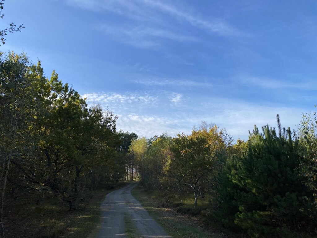
Strandvejen stretches long and straight all the way parallel to the westernmost part of Læsø and "Stokken", but we turn left down Estrupvej, which winds beautifully through the landscape. Where Estrupvej turns left, we continue straight along Brombærvej, a particularly beautiful forest road. The forest road alternates between grass, gravel and narrow tracks.
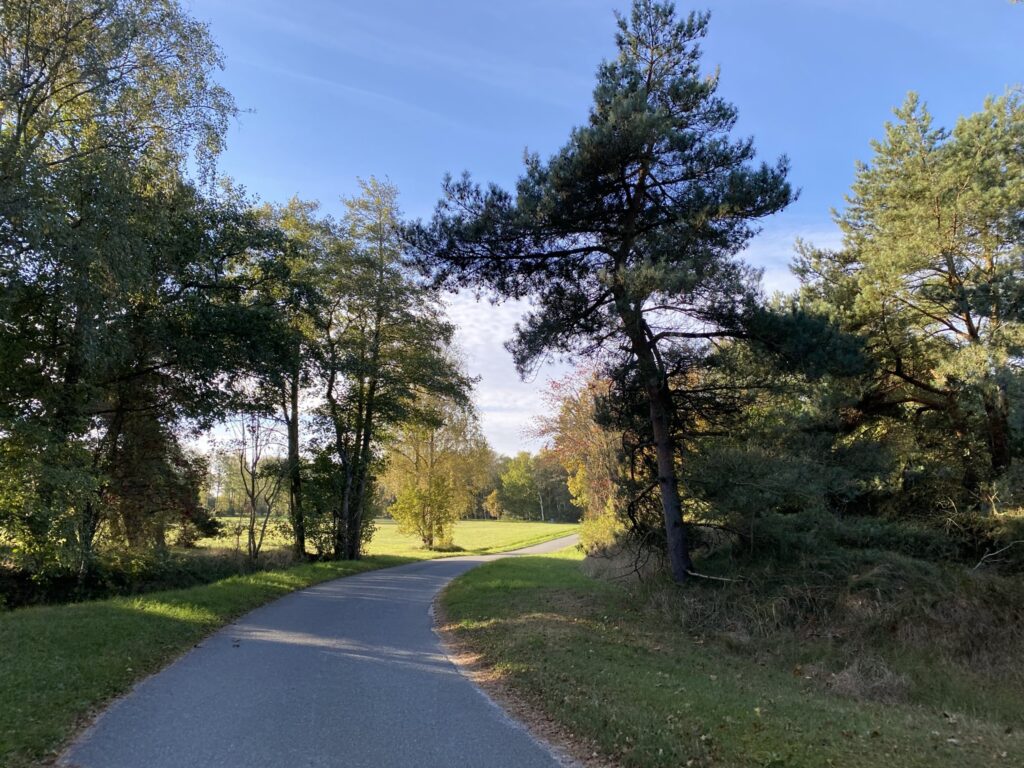
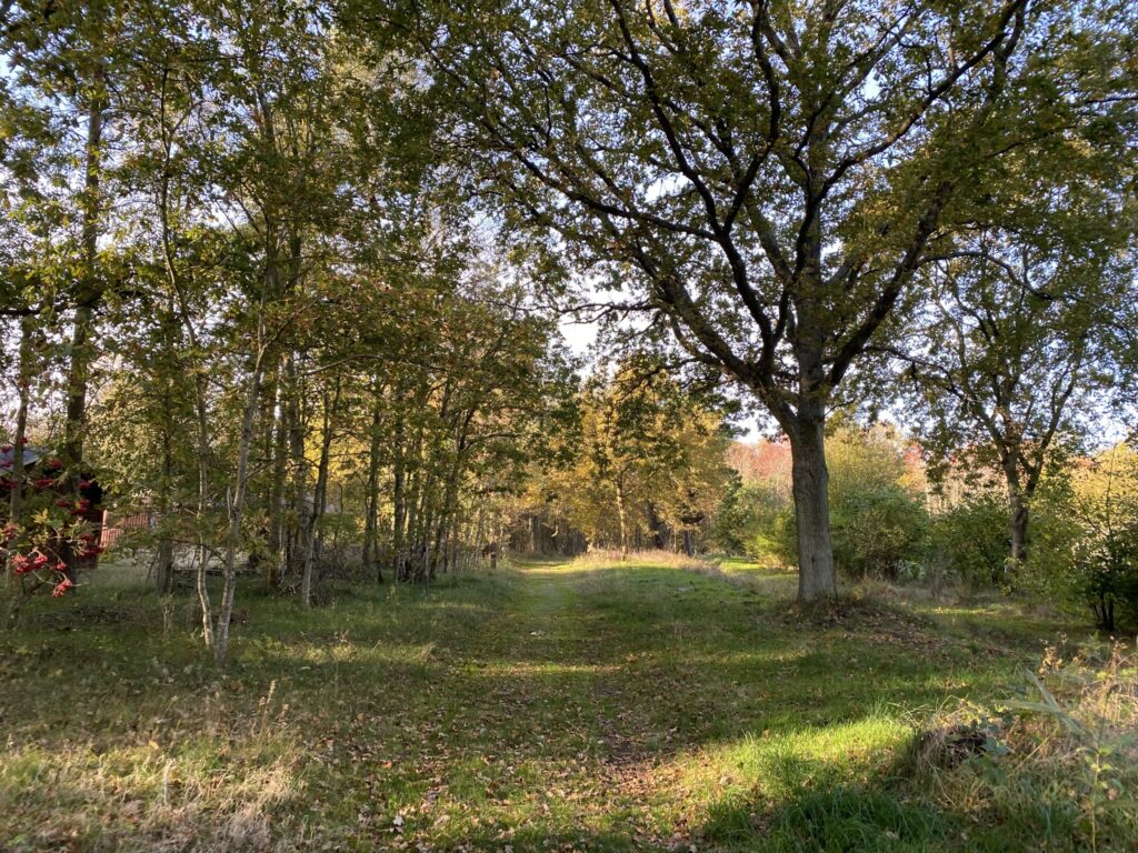

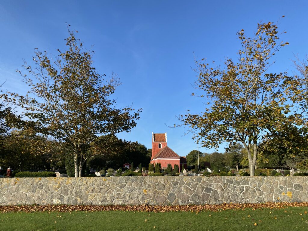
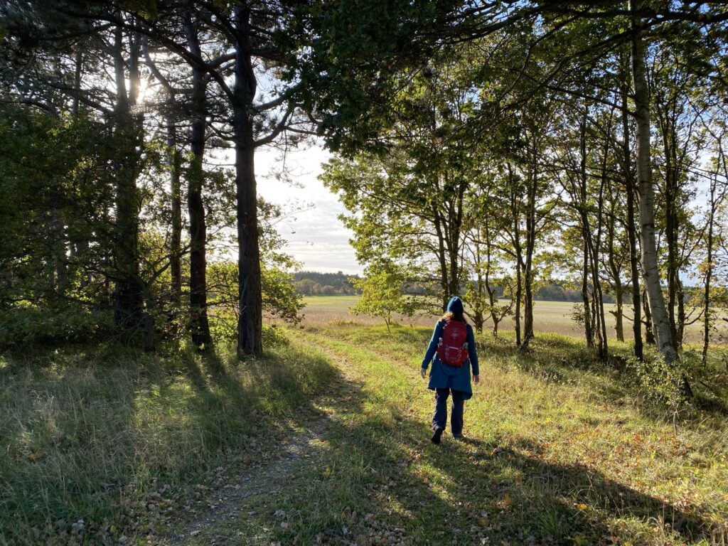
At the end of Brombærvej we turn left onto Bogøgårdvej, which is a wide gravel road that leads through a summer house area that is well hidden away between trees and firs. We turn right into Præstevejen, and go left into Søndre Kirkevej and past Vesterø Søndre Kirke,which was built in approx. 1250 and is one of Denmark's few redwashed churches. We follow Søndre Kirkevej until it turns 90 degrees to the left and after approx. 400 metres, we turn right onto a small dirt road that leads us down to Nylandsvej, where we turn right. We follow Nylandsvej approx. 200 metres, after which we turn left again onto Søndergårdsvej. which first leads us through a forest area, but immediately afterwards leads us out into the open country down towards the water.
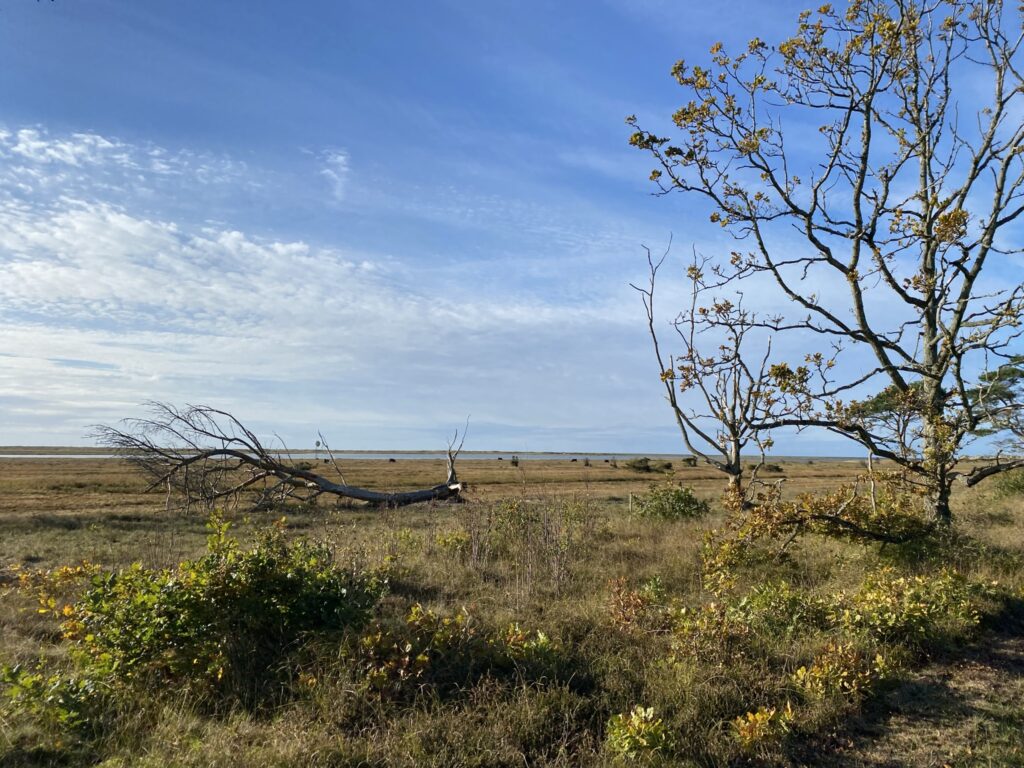
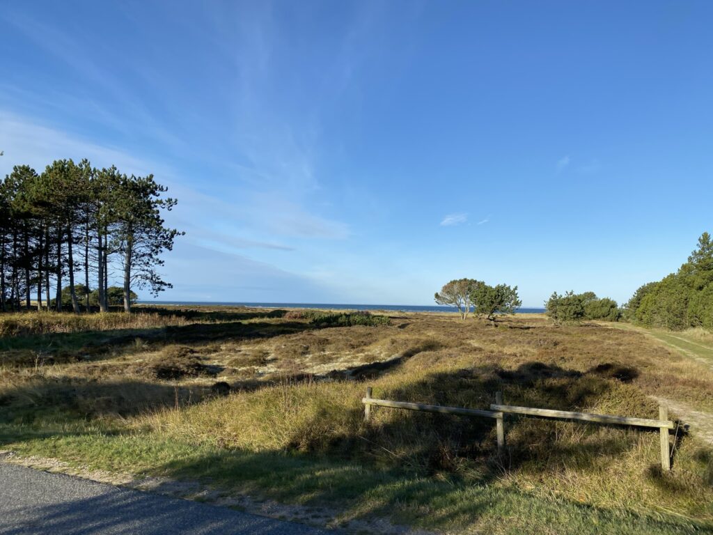
The dirt road leads us out to a parking space, from which cars can no longer drive. Tables and benches have been set up, and we enjoy our coffee with a view of the water and the area which, among other things, is a part of Life Læsø – A project that involves keeping the large areas by the water open, so that the special light gets the best conditions. And we just have to say – The light is absolutely fantastic!


After a nice break, we continue along the two-lane dirt/sand road with the water on our left. On our left – separated only by a narrow stretch of water – is the Stokken, which are a number of small islands that have formed as a mixture of land uplift and material migration. You can wade over to Stokken, which we choose not to do.


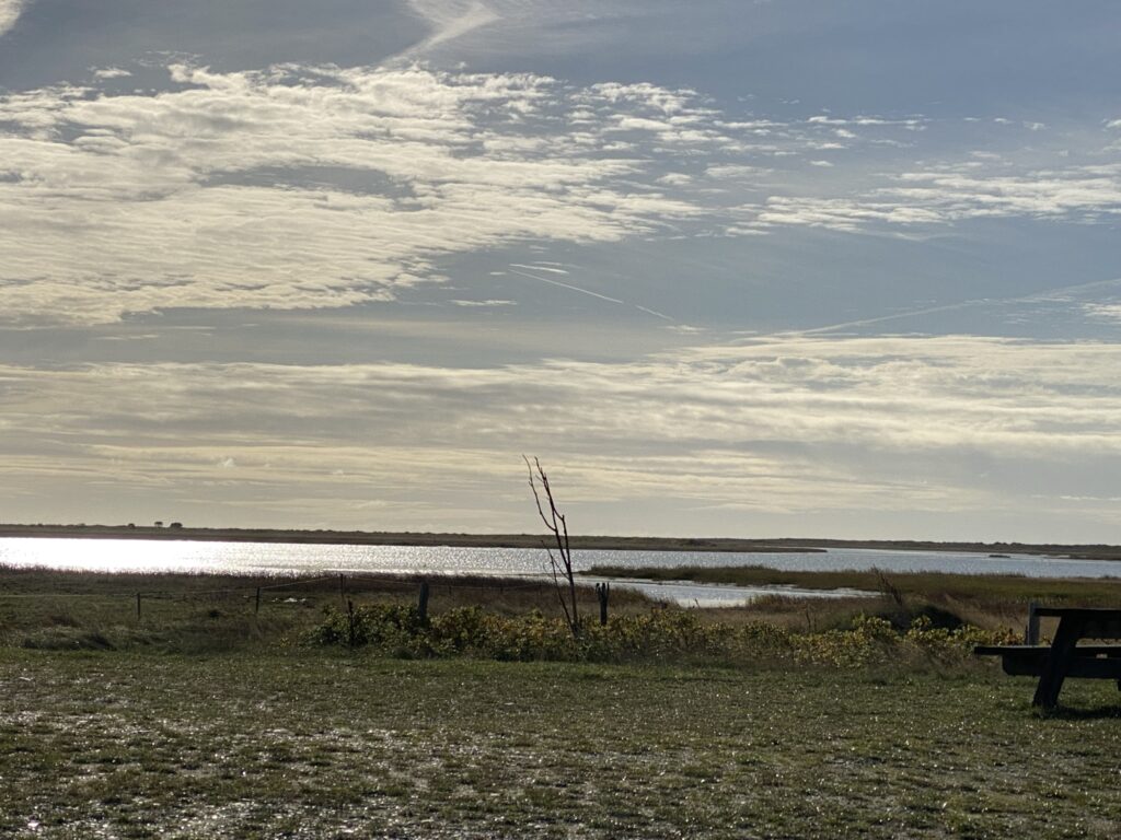
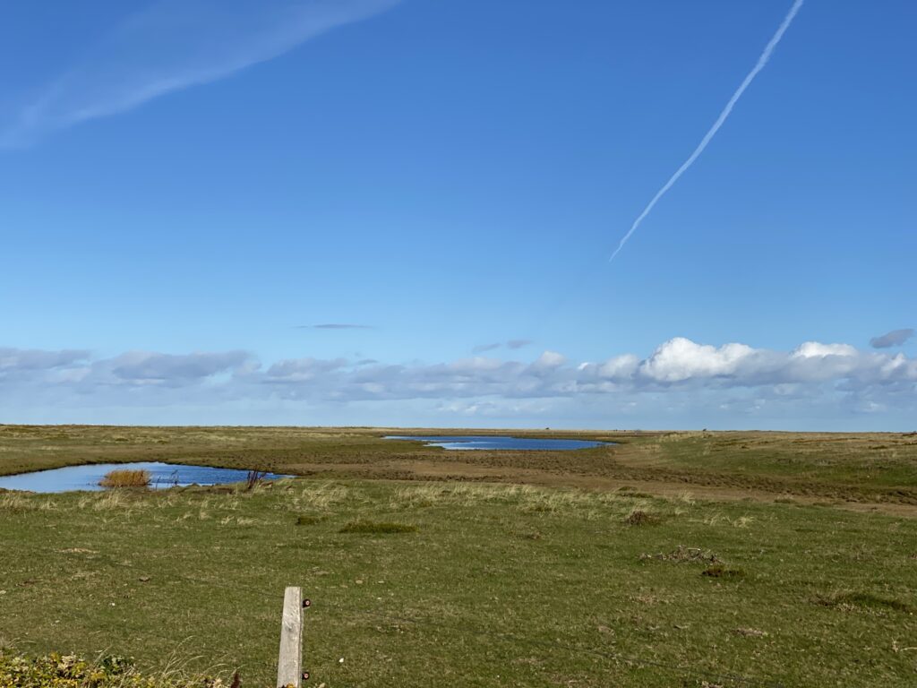
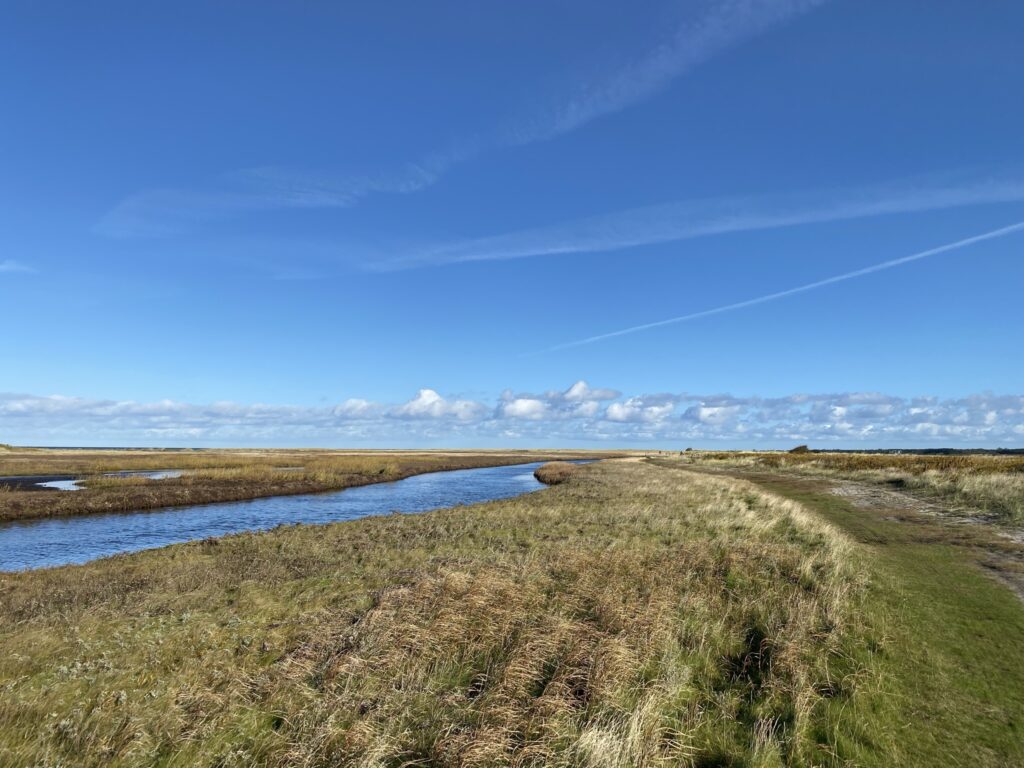
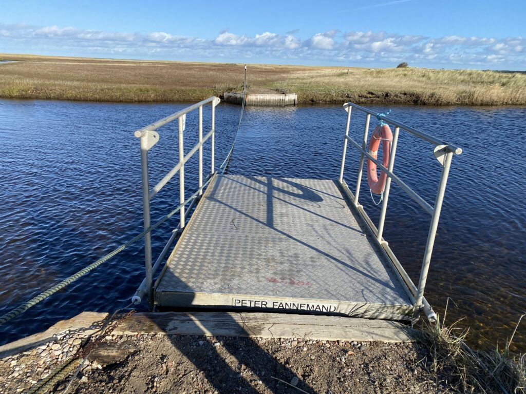
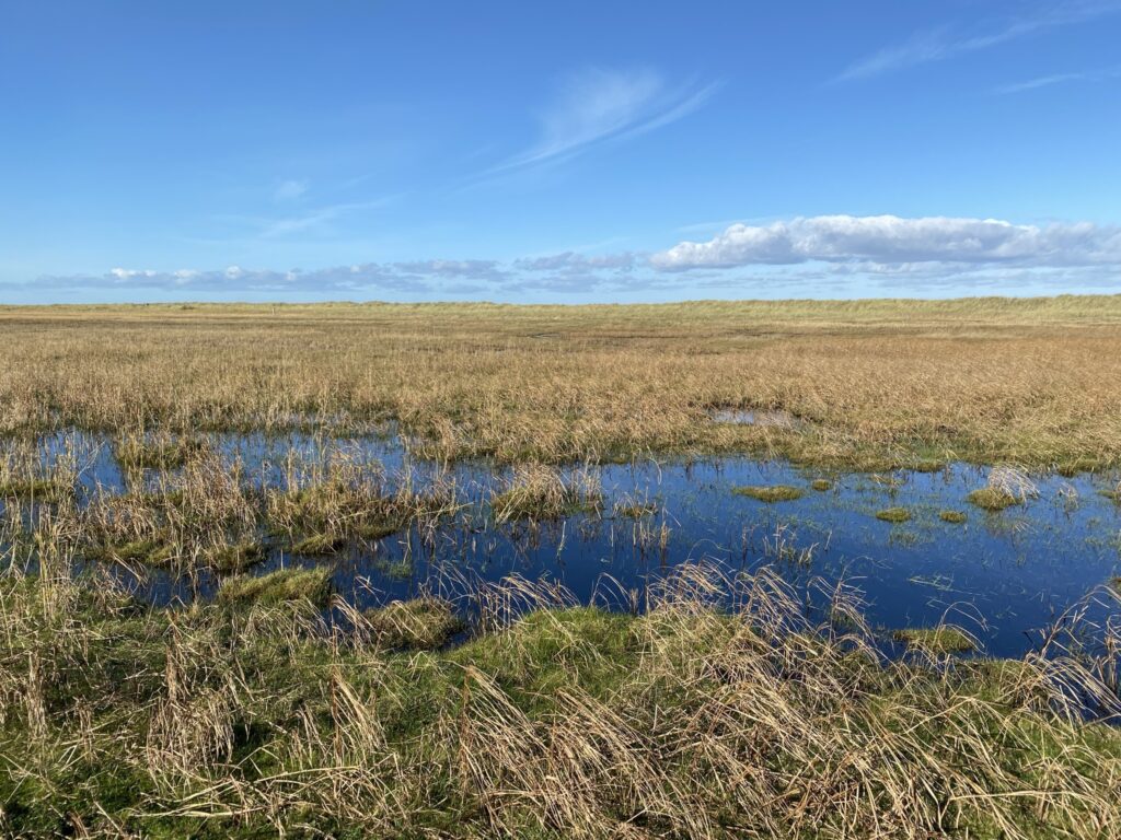
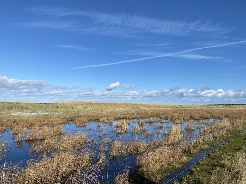
We come to Søndre Strandvej, where we go left to continue following the coast around, and after a good 7.5 kilometers of walking, the dirt road stops and we go back on a path where you can only walk. On our left, a narrow stream now divides the landscape, and we notice that small lakes have formed in several places. We now come to the place called Peter Fannemand.Here there is a small tugboat that we have to operate ourselves to get across the narrow stretch of water. It is a fun experience that can be highly recommended. (The ferry transports more than 10,000 tourists across the water annually).
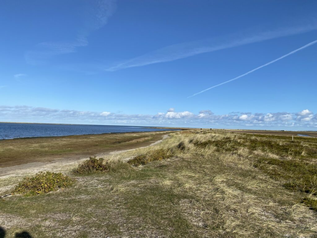

After the fun experience, the trip continues with the Baltic Sea on our left. We move through an area with many low reeds, and in several places we can feel that the ground is so moist that it rocks. It does not change the beautiful impression that the meadow area leaves.
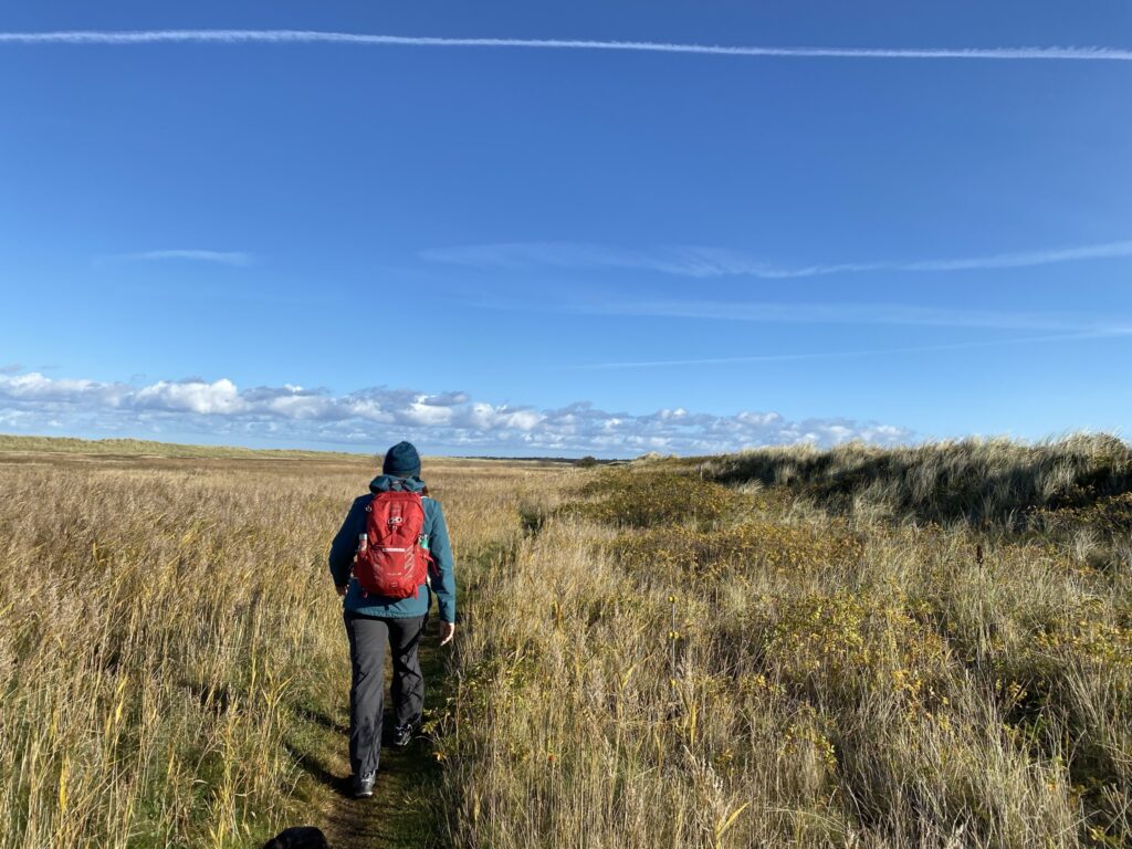
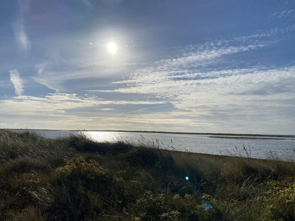
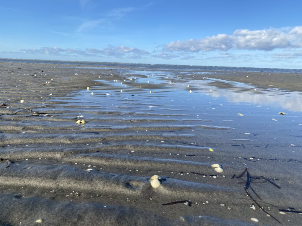
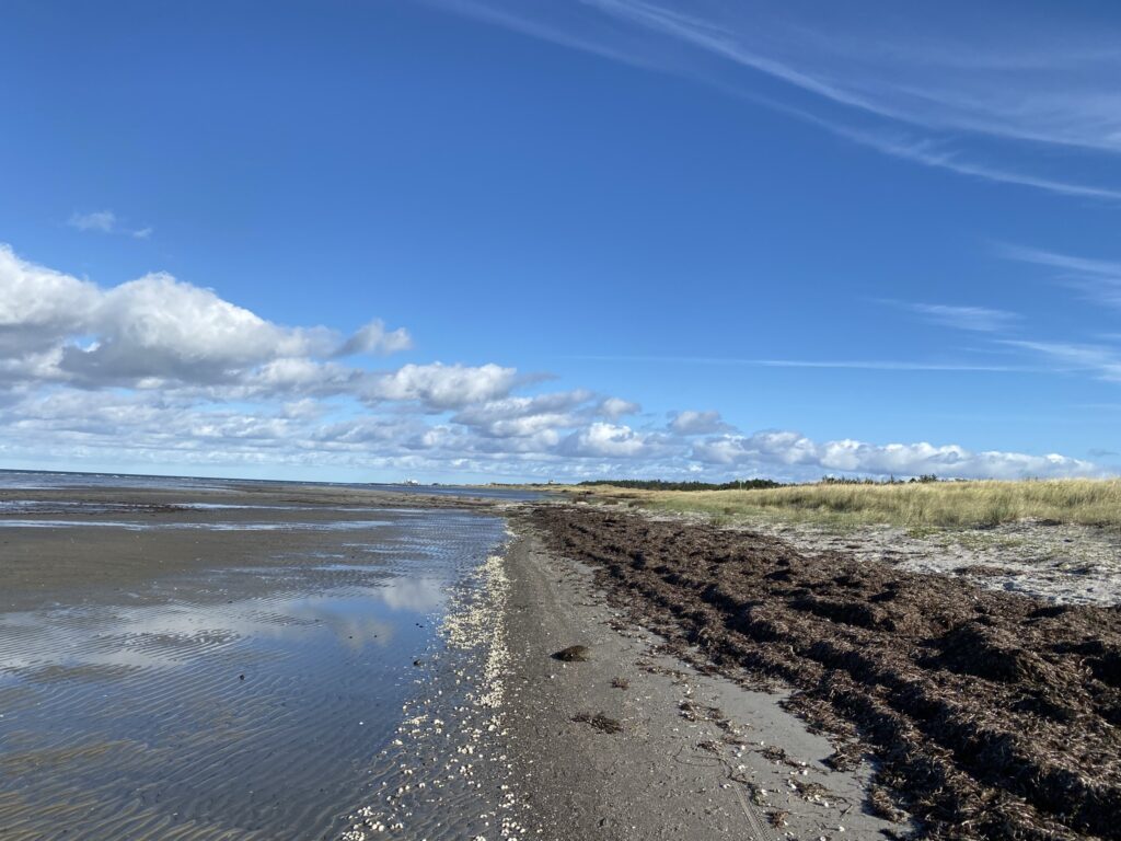
After approx. 9.5 kilometers, the path leads us from the meadow area to the beach, which we follow the rest of the way. The beach is so shallow in several places that we can walk 100 meters out from the dunes, only to be so waterlogged 100 meters further on that we have to walk up close to the dunes. We are blessed with the most beautiful blue sky and we fully understand what you mean when you talk about the special light on Læsø - Our thoughts lead us to the special light at Skagen (which is also quite close).

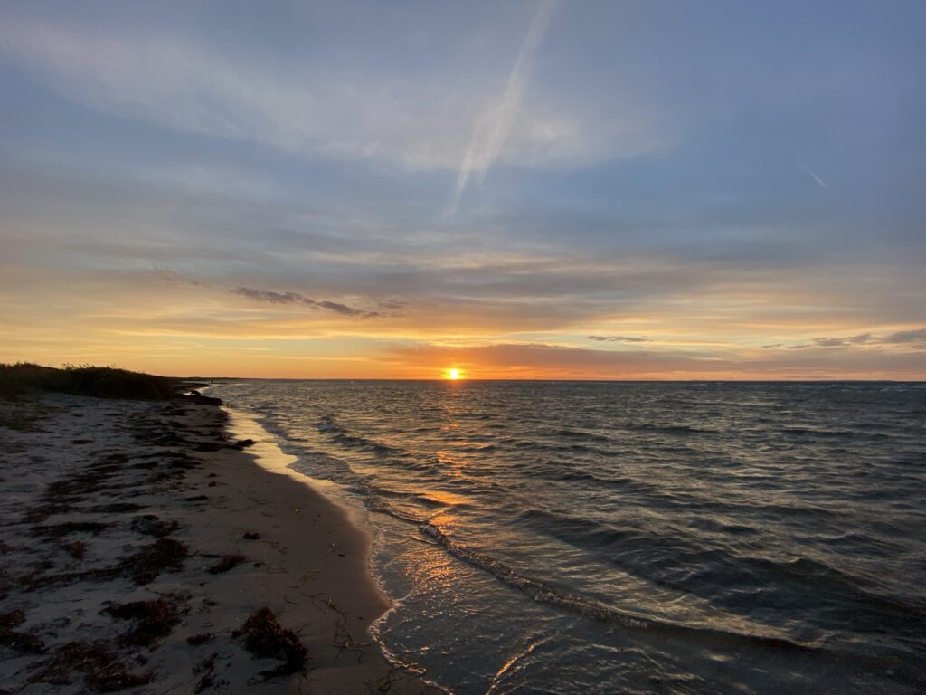
After just over 11.5 kilometers we turn over the dunes and are back at our car. However, we choose to stay and enjoy the sunset before we get in the car and drive on...


The trip is approx. 12 kilometers long
Click on the map below and it will open in Google Maps. From here, you can follow the route as you are hiking.